


Why visit Coity
Townapedia lists 7 museums and landmarks, 9 parks and trails, 80 places to eat, 5 places to stay and 3 attractions in and around town.
Highlights include Old Bridge, Odeon, Coity Castle and Newcastle.
Weather in Coity
Forecast from MET Norway (CC BY 4.0). Full forecast
About Coity
Coity (Welsh: Coety) is a village in Bridgend County Borough, south Wales, part of Bridgend town urban area. Coity is part of the community of Coity Higher and is notable for being home to Coity Castle, one of the best-preserved castles in Glamorgan. Other buildings of note in the village include St Mary, a 14th-century church, and Ty Mawr, a fine 16th-century house.
From the Wikipedia article Coity (this version), under CC BY-SA 4.0.
Things to do3

Old Bridge
Bridge · 1.5 mi
Grade II* listed building in Bridgend County Borough. Bridge in Bridgend, south Wales


Museums and landmarks7




Parks, trails and playgrounds9

Bryngarw Country Park
Park · 2.5 mi
Park in Bridgend County Borough, United Kingdom




Restaurants and cafes80
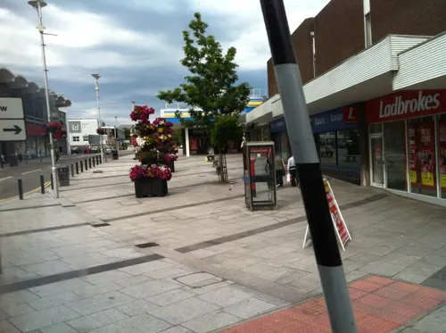
The Kings Head
Bar and pub · 1.5 mi
44 Nolton Street, Bridgend
Mo-Th 11:00-23:00; Fr-Sa 11:00-26:00; Su 11:00-23:00
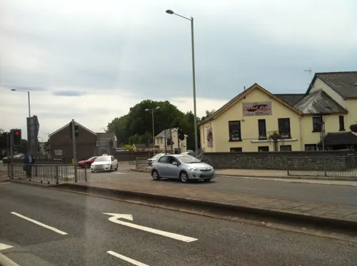
The Little Bar On The Bridge
Bar and pub · 1.5 mi
3 Old Bridge, Bridgend
Mo Off; Tu Off; We-Sa 14:00-22:00; Su 14:00-21:00
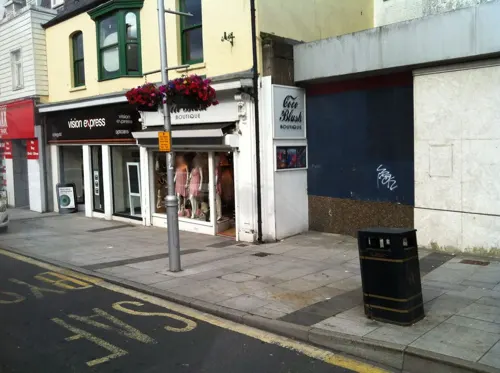
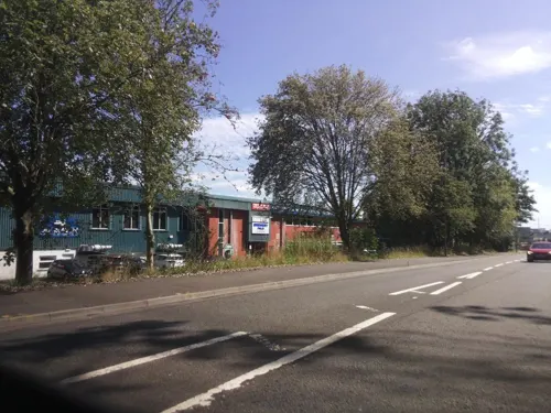

The Tair Pluen
Bar and pub · 1.4 mi
Quarella Road, Bridgend
Mo-Fr 08:00-23:00; Sa 08:00-24:00; Su 10:00-23:00

The Railway
Bar and pub · 1.3 mi
Derwen Road, Bridgend
Mo-We 11:00-21:45; Th-Sa 11:00-26:00; Su 11:00-26:30
The Wyndham Arms
Bar and pub · 1.5 mi
Wetherspoons Pub with Hotel above.
Dunraven Place, Bridgend
Mo-Th 07:00-24:00; Fr-Sa 07:00-25:00; Su 07:00-24:00

Zia Nina
Restaurant · Italian · 1.5 mi
28 Dunraven Place, Bridgend
Mo-Tu 16:00-22:00; We 12:00-22:00; Th 12:00-23:00; Fr 12:00-25:00;...
68 more on the map.
History
The oldest monument in Coity is a burial chamber near Coed Parc Garw woodland. It consists of a large megalith, tilted upwards and supported by other smaller stones.
The oldest remaining building in Coity is Coity Castle. Now ruinous, but according to John Newman, "(after Caerphilly) ... the most impressive ruined medieval castle in Glamorgan", Coity Castle was built c. 1100 by Payn Turberville. Turberville was one of the Twelve Knights of Glamorgan, and the construction of Coity Castle was part of Robert Fitzhamon's strategy to subjugate the region. The castle remained in the hands of the Tuberville family before passing to Sir Lawrence Berkerolles by 1380. In 1404 Sir Lawrence found himself under siege at Coity by the forces of Owain Glyndŵr, and again in 1405. A few years later ownership of the castle was successfully challenged by William Gamage through a court action. The castle remained in the Gamage family who lived at Coity, and in 1584 Barbara Gamage married Robert Sidney, who took ownership. Sidney did not live at the castle, but family members continued to live there until the 18th century. By the time the castle passed to the Earl of Dunraven in 1833, it was ruinous and was placed into state guardianship in 1929. The castle is listed as a Grade I building, as it is an example of medieval defensive architecture in Wales.
Read more of the history
In the 14th century, a church was founded at Coity and dedicated to Saint Mary. The church also underwent 16th-century alterations and was again restored in 1860 by John Prichard and John Pollard Seddon. The church is listed as a Grade I building as it retains its 14th-century form and character due to 19th-century restorations. The church stands to this day and has several key important features, including an Easter Sepulchre (c. 1500). There is also a war memorial located outside St. Mary's Church, which commemorates the residents of Coity were either killed or missing during both the first sand second world wars the memorial contains 13 names from the first world war and 8 names from the second world war. Other places of worship included Gilead Welsh Independent Chapel, which saw rebuilding in 1890.
Another historical building in Coity is Tŷ Mawr. A late-16th-century building, with lower wings added in the 19th century. The building also underwent mid 20th-century alterations. It is a Grade II listed building due to it being a great example of 16th-century Glamorgan architecture.
Bridgend & Coity Golf Club (now defunct) first appeared in 1928. The club disappeared following WW2.
As of 2001, the community of Coity Higher had a population of just 835, which includes the larger village of Litchard. A large housing development, first proposed in the 1990s is seen by some residents of Coity as threatening the smaller village.
From the History section of Coity on Wikipedia, under CC BY-SA 4.0.
Where to stay5
Churches and places of worship18
Kingdom Hall of Jehovah's Witnesses
Church · Jehovahs Witness · 1.3 mi
Coychurch Road, Bridgend
Shopping28
Gas and EV charging5
Schools, colleges and libraries8
Healthcare5
Map of Coity
168 places. The map loads OpenStreetMap tiles when you open it.
Getting there and nearby towns
Cardiff Airport (CWL) is the nearest airport with scheduled flights listed in OpenStreetMap, 12 miles away.
- Pyle 6 mi west, about 10 min by car
- Porthcawl 7 mi southwest, about 11 min by car
- Maesteg 7 mi northwest, about 12 min by car
- Llantrisant 8 mi east, about 13 min by car
- Llantwit Major 8 mi south, about 13 min by car
- Rhondda 11 mi northeast, about 17 min by car
- Pontypridd 11 mi northeast, about 17 min by car
- Mountain Ash 13 mi northeast, about 22 min by car
- Neath 14 mi northwest, about 23 min by car
- Cardiff 16 mi east, about 26 min by car
Drive times are estimates from straight-line distance, not routes.
Towns near Coity


Keep exploring
Local news
Headlines from INDB.
Reviews, tips and questions
Loading what members have shared...
Sources and licences
- GeoNames (CC BY 4.0): population, coordinates, regions and time zone
- Mapillary (see each image): photos
- OpenStreetMap contributors (ODbL 1.0): places, airports, map data
- Wikidata (CC0 1.0): elevation, founding date, time zone, website, landmarks and historic places
- Wikimedia Commons (see each image): photos
- Wikipedia (CC BY-SA 4.0): overview and history text
Photo credits
- Coity Castle, foundations, FruitMonkey, CC BY-SA 3.0
- Bridgend banner Coity Castle, John Lord, CC BY-SA 2.0
- Coity Castle, Well, FruitMonkey, CC BY-SA 3.0
- Coity Castle Gatehouse, FruitMonkey, CC BY-SA 3.0
- Old Bridge (Yr Hen Bont) Bridgend 2948762 b59f41b8, Chris Andrews, CC BY-SA 2.0
- Bryngarw Country Park, Cafe 2011, Fillius, CC BY-SA 3.0
- Coity Castle, kenneth rees, CC BY-SA 2.0
- Brewery Field Castle View, Sionk, CC BY 4.0
- Archbishop-school, ShaneSealey66, CC BY-SA 4.0
- Cadbury cocoa ad 1900, Cecil Aldin, Public domain
- St Illtyd's Church, Bridgend, FruitMonkey, CC BY-SA 3.0
- Hope Baptist Chapel, Bridgend, FruitMonkey, CC BY-SA 4.0
- Newcastle Castle Bridgend, MRNasher, Public domain
- Street-level photo, miguel_andrade, CC BY-SA 4.0
- Street-level photo, miguel_andrade, CC BY-SA 4.0
- Street-level photo, miguel_andrade, CC BY-SA 4.0
- Street-level photo, southglos, CC BY-SA 4.0
- Street-level photo, southglos, CC BY-SA 4.0
- Street-level photo, miguel_andrade, CC BY-SA 4.0
- Street-level photo, southglos, CC BY-SA 4.0
- Street-level photo, miguel_andrade, CC BY-SA 4.0
- Street-level photo, southglos, CC BY-SA 4.0


Page built November 10, 2026. Spotted a mistake? Tell us or suggest a place.