

Why visit Brixton
Townapedia lists 9 museums and landmarks, 2 parks and trails, 5 places to eat, 2 places to stay and 2 attractions in and around town.
Highlights include Ben’s Farm Shop, Kitley Show Cave, Saltram House and Wembury Marine Centre.
Weather in Brixton
Forecast from MET Norway (CC BY 4.0). Full forecast
About Brixton
Brixton is a village, parish and former manor situated near Plymouth in South Hams, Devon, England. It is located on the A379 Plymouth to Kingsbridge road and is about 6 miles (9.7 km) from Plymouth. Its population is 1207. The parish contains the former manors of Brixton Reigny and Brixton English.
From the Wikipedia article Brixton, Devon (this version), under CC BY-SA 4.0.
Things to do2
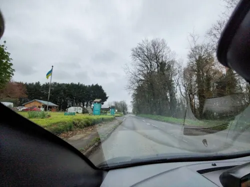

Kitley Show Cave
Monument and historic site · 1.4 mi
Cave in Devon, England
Museums and landmarks9

Saltram House
Museum · 3.1 mi
George II era mansion located in Plympton, Devon, England, UK


Parks, trails and playgrounds2

Restaurants and cafes5
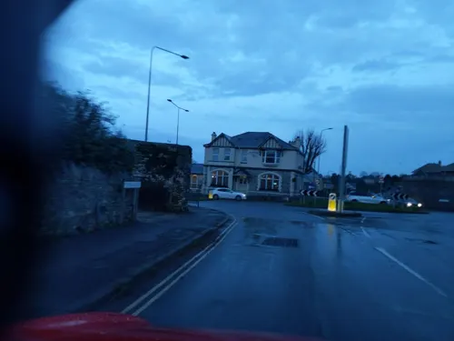

The Ships Tavern
Bar and pub · 1.5 mi
Arcadia Road, Plymouth
Mo,Tu 16:00-22:00; We,Th 15:30-21:30; Fr,Sa 15:00-23:30; Su 12:30-20:30

History
Brixton appears as Brictricestone in the Domesday Book of 1086, where it is recorded in the ancient hundred of Plympton, having been divided into two moieties at or before 1066, wherewith two brothers who supported William the Conqueror could be separately compensated as lords, as was done for the brothers in other Devonshire parishes. But in this locale, only one of the brothers was lord of both moieties by the time of the Domesday Survey in 1086. One moiety was recorded as a manor having 4 villagers and 2 smallholders, and livestock consisting of 7 pigs and 31 sheep. Its annual value to the lord Ralph de Pomeroy was given as 10 shillings. The immediate lord then paid taxes to the tenant-in-chief, Iudhael of Totnes, who held the parish directly from the crown. The other moiety was recorded as a manor having 4 villagers and 5 small holders, and livestock consisting of 80 sheep and 1 "other" animal. Its annual value to the lord Ralph de Pomeroy was given as 15 shillings. The immediate lord then paid taxes to the tenant-in-chief, the same Iudhael of Totnes, who held the parish directly from the crown.
Read more of the history
The name 'Brixton' derives from the early Brictricestone, as recorded in the Domesday Book, assumed recently (2024) to be the name given to the village by the Norman de Britrickstone family. William White's 1879 gazetteer features a different spelling for the surname: "The manor of Brixton, anciently called Britricheston, was long held by a family of its own name, but was dismembered many years ago." A more learned source mentions Brictricestone being derived from 'Stone of Beorhtric'.
The church, St Mary's, dates from the 15th century, and suffered a number of dilapidations and subsequent restorations in the 1880s and 1890s.
In William White's 1879 History, Gazetteer and Directory of the County of Devon, Brixton was said to have had 698 residents (325 males, 373 females) in 1871, living in 147 houses.
From the History section of Brixton, Devon on Wikipedia, under CC BY-SA 4.0.
Notable people from Brixton
 Edith BairdBritish chess composer (1859-1924)Photo: Unknown author Unknown author, Public domain
 Elize HeleEnglish lawyerPhoto: Lobsterthermidor ( talk ) 14:55, 24..., CC BY-SA 3.0
- Tristram CoffinAmerican investor 1605-1681
- Thomas FordEnglish nonconformist minister, a member of the Westminster Assembly and ejected minister of 1662
- Samuel RoweEnglish cleric and topographer
Born in Brixton, according to Wikidata (CC0). Each name links to its Wikipedia article.
Where to stay2
Churches and places of worship6
Gas and EV charging1
Schools, colleges and libraries3
Healthcare1
Map of Brixton
31 places. The map loads OpenStreetMap tiles when you open it.
Getting there and nearby towns
Exeter Airport (EXT) is the nearest airport with scheduled flights listed in OpenStreetMap, 38 miles away.
- Yealmpton 2 mi east, about 2 min by car
- Newton Ferrers 2 mi south, about 4 min by car
- Plymstock 3 mi west, about 4 min by car
- Wembury 3 mi southwest, about 4 min by car
- Plymouth 5 mi west, about 8 min by car
- Ivybridge 6 mi northeast, about 9 min by car
- Modbury 6 mi east, about 10 min by car
- Saltash 9 mi northwest, about 15 min by car
- Princetown 14 mi north, about 22 min by car
- Tavistock 15 mi north, about 24 min by car
Drive times are estimates from straight-line distance, not routes.
Towns near Brixton


Keep exploring
Local news
Headlines from INDB.
Reviews, tips and questions
Loading what members have shared...
Sources and licences
- GeoNames (CC BY 4.0): population, coordinates, regions and time zone
- Mapillary (see each image): photos
- OpenStreetMap contributors (ODbL 1.0): places, airports, map data
- Wikidata (CC0 1.0): elevation, founding date, time zone, website, landmarks and historic places
- Wikimedia Commons (see each image): photos
- Wikipedia (CC BY-SA 4.0): overview and history text
Photo credits
- Kitley Show Cave, Yealmpton, Devon, Langcliffe, CC BY-SA 4.0
- Saltram House 2008, Chilli Head from Weston-super-Mare, UK, CC BY 2.0
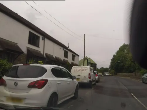
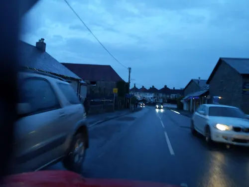
- Street-level photo, WaggyDog, CC BY-SA 4.0
- Street-level photo, WaggyDog, CC BY-SA 4.0
- Street-level photo, WaggyDog, CC BY-SA 4.0
- Street-level photo, WaggyDog, CC BY-SA 4.0
- Street-level photo, WaggyDog, CC BY-SA 4.0
- Street-level photo, WaggyDog, CC BY-SA 4.0
- Street-level photo, WaggyDog, CC BY-SA 4.0
- Street-level photo, WaggyDog, CC BY-SA 4.0
- Street-level photo, WaggyDog, CC BY-SA 4.0
Page built November 10, 2026. Spotted a mistake? Tell us or suggest a place.