


Princetown, United Kingdom
Princetown is a town of 1,366 people in England, United Kingdom.
Why visit Princetown
Townapedia lists 14 museums and landmarks, 8 places to eat, 6 places to stay and 9 attractions in and around town.
Highlights include North Hessary Tor, Herne Hole Tor, Eylesbarrow Mine and Dartmoor Prison Museum.
Weather in Princetown
Forecast from MET Norway (CC BY 4.0). Full forecast
About Princetown
Princetown is a village located within Dartmoor national park in the English county of Devon. It is the principal settlement of the civil parish of Dartmoor Forest. At the 2021 census, the village had a population of 1,443.
From the Wikipedia article Princetown (this version), under CC BY-SA 4.0.
Travel tips from other travellers: Princetown on Wikivoyage (CC BY-SA 4.0).
Things to do9


Museums and landmarks14

Eylesbarrow Mine
Monument and historic site · 3.3 mi
Tin mine on Dartmoor, Devon, England, UK
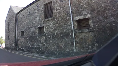

American and French Prisoners of War memorial garden
Monument and historic site · 0.5 mi
2 more on the map.
Restaurants and cafes8
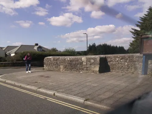
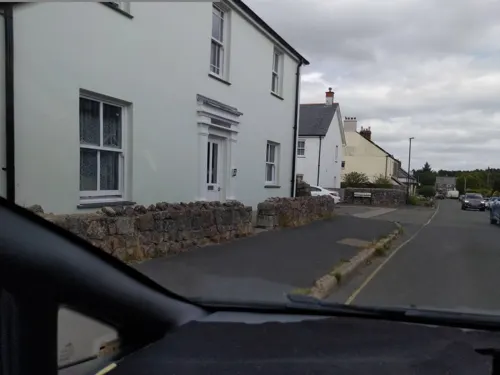
Old Police Station Cafe
Cafe
Tavistock Road, West Devon District
Mo-Su 09:00-17:00
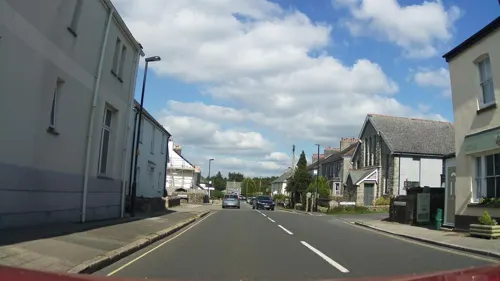



Where to stay6
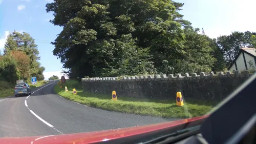
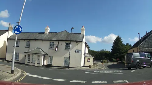
Ramblers' Rest
Motel and hotel
Nice Inn, owners are super friendly. If you have a van or mo-home you can also park here for 10£ per night and there are toilets....
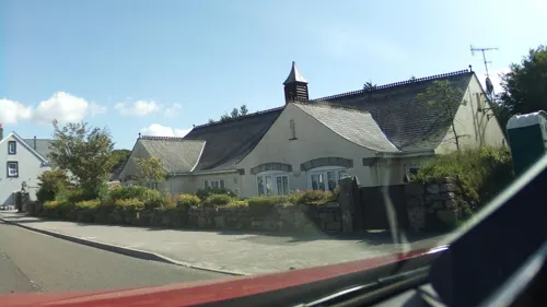


Plume of Feathers Campsite
Campground
Plymouth Hill, Princetown
History
In 1780, a farm was reclaimed on the site of an ancient tenement near the Two Bridges, and in 1785, Sir Thomas Tyrwhitt set about improving the moor at a place which he named Tor Royal (present day Tor Royal Farm), about 1 km (0.6 mi) south-east of Princetown. The Plume of Feathers Inn also bears this date on its sign. He made an estate and built a house in 1798. Later, the road from Tavistock to Princetown was built, as well as the other roads that now cross the moor.
He also proposed that a prison be built on Dartmoor to house the thousands of captives of the Napoleonic Wars and the later War of 1812, who had become too numerous to lodge in the prisons and prison-ships at Plymouth. The site was given by the Prince of Wales, who held the lands of the Duchy of Cornwall to which the whole moor belonged. This is why the settlement is named Princetown. Dartmoor Prison was built in 1806 at a cost of £130,000. At one time it had a capacity of between 7,000 and 9,000 prisoners, but its operational capacity in 2015 was 660.
Read more of the history
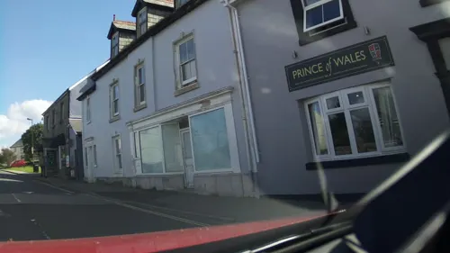
A small town grew up near the prison. Two large inns were built during the war – the current Prince of Wales and the former Devil's Elbow / Railway Inn (now the Ramblers' Rest Guesthouse). Many of the prisoners had prize money to come from their own country; many others made their own money in their hammocks at night, even forging Bank of England and local bank notes, which they passed off in the great daily market held in the prison. With the closing of the prison in 1816, the town almost collapsed, but the completion of the Princetown Railway in 1823 brought back many people to the granite quarries. The prison remained derelict until 1851, when it was reopened for prisoners serving long sentences. It has since been considerably extended and although other Victorian era prisons are to remain in service, Dartmoor prison was scheduled to close in 2023, but an extension lease was signed to keep it open beyond that date. The prison closed temporarily in 2024 for radon mitigation and investigation works.
In the 1880s an Officers' Club building was constructed as a rest room for officers and their families. It was extended during the 1970s and remained in use until closure in 2001, largely because very few prison officers lived in Princetown by that date, but commuted in from Plymouth or Tavistock in the main.
The terrace of houses now called Moor Crescent was constructed in 1912 as housing for prison officers of fairly senior rank, in which role it served until the 1980s. After falling into near-derelict condition, it was renovated and is now private housing. Hessary Terrace, which backs onto Moor Crescent, was also constructed as housing for prison officers, as was Heather Terrace.
There is a sports field, now used by Princetown Football Club and known as Legend Park, which formerly belonged to the prison. The sports field and pavilion (now Princetown Pavilion Youth Club) date from the 1890s and were constructed for use by the prison warders. A tennis pavilion was laid out in the 1920s as a base for the tennis court for officers and their families. It was demolished in the 1960s due to its poor state. The bowling green and pavilion were built around the turn of the century and visiting teams of prison staff played matches on many occasions. This was also demolished in the 1960s.
From the History section of Princetown on Wikipedia, under CC BY-SA 4.0.
More about Princetown
Geography
The village is located on the B3212 road between Yelverton and Two Bridges and is surrounded by moorland. Several footpaths across the moor pass through the village, including one leading west to Sampford Spiney and one leading south to Nun's Cross and Erme Head.
Tor Royal Lane is a dead end road which leads down from the village to the site of the disused Whiteworks tin mine, about 2 miles or 3 km to the south-east, which overlooks Fox Tor Mires, the presumed site of the Grimpen Mire to be found in Arthur Conan Doyle's tale The Hound of the Baskervilles. Conan Doyle stayed at the former Duchy Hotel whilst writing and researching the story with his friend, Bertram Fletcher Robinson. The hotel has long since closed and the building now houses the National Park Visitor Centre which is an all-weather centre and activity hub, with interactive displays, films, exhibitions and a children's discovery area.
Economy
In terms of tourism, Princetown is a popular destination and hub for people traversing the moors, and the sight of large groups of hikers, walkers and cyclists is especially common during the summer months. A bunkhouse and camping facilities are available in the village and there are also a handful of local shops. The Dartmoor Ultra Marathon takes place annually, as does the charity Tour de Moor cycle race. The annual Dartmoor Classic cycling sportive regularly passes through Princetown, and the Tour of Britain has passed through as it went across Dartmoor
Princetown has a brewery which used to be housed in the Prince of Wales pub, but now occupies a modern purpose-built building on the edge of the village, close to the former railway. The other pub is the Plume of Feathers (the Railway Inn – "The Devils Elbow" – closed as a pub in 2009 – now the Ramblers' Rest Guesthouse). In April 2017 the go-ahead was given for the construction of a whisky distillery, which invoked controversy due to the destruction of buildings that this would entail. These are the 'Pocket Power Station' (the world's first unmanned power station, demolished in 2021) and the older power station building that was in use until 1947, and now sits derelict after prior use as a business. As of early 2024, the building is near completion.
From the Wikipedia article Princetown, under CC BY-SA 4.0.
Churches and places of worship3
Shopping1
Schools, colleges and libraries2
Map of Princetown
43 places. The map loads OpenStreetMap tiles when you open it.
Getting there and nearby towns
Exeter Airport (EXT) is the nearest airport with scheduled flights listed in OpenStreetMap, 29 miles away.
- Tavistock 7 mi west, about 11 min by car
- Ivybridge 11 mi south, about 18 min by car
- Chagford 11 mi northeast, about 18 min by car
- Plymstock 13 mi south, about 22 min by car
- Plymouth 14 mi southwest, about 22 min by car
- Saltash 14 mi southwest, about 22 min by car
- Yealmpton 14 mi south, about 22 min by car
- Wembury 16 mi south, about 25 min by car
- Newton Abbot 17 mi east, about 27 min by car
- Kingsteignton 18 mi east, about 29 min by car
Drive times are estimates from straight-line distance, not routes.
Towns near Princetown


Keep exploring
Local news
Headlines from INDB.
Reviews, tips and questions
Loading what members have shared...
Sources and licences
- GeoNames (CC BY 4.0): population, coordinates, regions and time zone
- Mapillary (see each image): photos
- OpenStreetMap contributors (ODbL 1.0): places, airports, map data
- Wikidata (CC0 1.0): elevation, founding date, time zone, website, landmarks and historic places
- Wikimedia Commons (see each image): photos
- Wikipedia (CC BY-SA 4.0): overview and history text
Photo credits
- Princetown, Totnesmartin, Public domain
- Eylesbarrow remains, Myself - Herby talk thyme, CC BY-SA 4.0
- St Michael and All Angels, Princetown, Tom Jolliffe, CC BY-SA 2.0
- North Hessary, Theroadislong, CC BY-SA 3.0
- Street-level photo, southglos, CC BY-SA 4.0
- Street-level photo, southglos, CC BY-SA 4.0
- Street-level photo, southglos, CC BY-SA 4.0
- Street-level photo, southglos, CC BY-SA 4.0
- Street-level photo, southglos, CC BY-SA 4.0
- Street-level photo, southglos, CC BY-SA 4.0
- Street-level photo, southglos, CC BY-SA 4.0
- Street-level photo, WaggyDog, CC BY-SA 4.0
- Street-level photo, southglos, CC BY-SA 4.0
Page built November 10, 2026. Spotted a mistake? Tell us or suggest a place.