
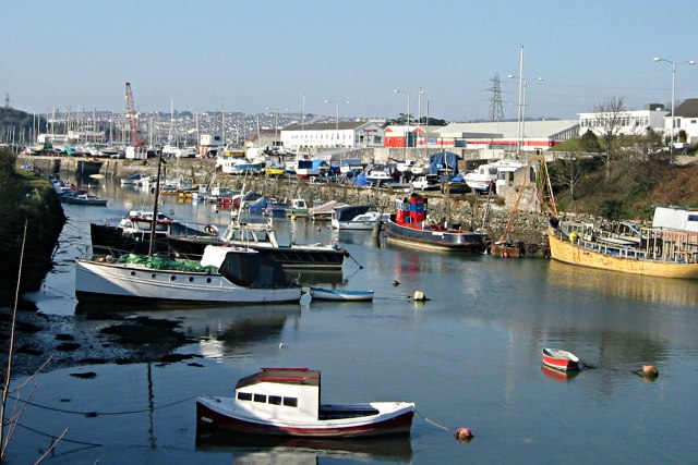


Plymstock, United Kingdom
Plymstock is a town of 24,103 people in England, United Kingdom.
Why visit Plymstock
Townapedia lists 18 museums and landmarks, 19 parks and trails, 46 places to eat, 1 place to stay and 8 attractions in and around town.
Highlights include Drum Theatre, Laira Bridge, Saltram House and Armada Memorial.
Weather in Plymstock
Forecast from MET Norway (CC BY 4.0). Full forecast
About Plymstock
Plymstock is a commuter suburb of Plymouth and former civil parish in the English county of Devon.
From the Wikipedia article Plymstock (this version), under CC BY-SA 4.0.
Photos of Plymstock


Things to do8
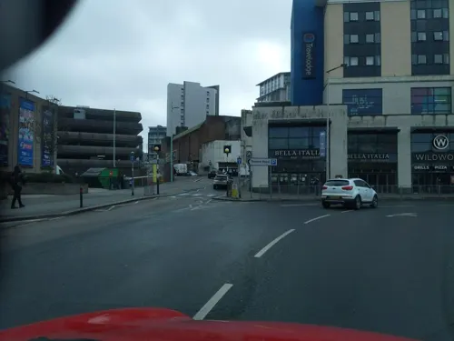
Drum Theatre
Cinema and theater · 2.5 mi
Theatre in Plymouth, England


National Marine Aquarium
Zoo and aquarium · 1.9 mi
Marine aquarium in the city of Plymouth, England

Palace Theatre
Cinema and theater · 2.9 mi
Theatre in Plymouth, England

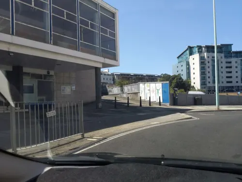
The Plymouth Athenaeum
Cinema and theater · 2.5 mi
Library and cultural institution

Theatre Royal
Cinema and theater · 2.5 mi
Theatre in Plymouth, Devon, England (1982-)

Museums and landmarks18

Saltram House
Museum · 1.5 mi
George II era mansion located in Plympton, Devon, England, UK

Armada Memorial
Monument and historic site · 2.3 mi
Monument in Plymouth, England

Plymouth Naval Memorial
Monument and historic site · 2.3 mi
Grade I listed cenotaph in Plymouth, United Kingdom

Prince Christian Victor Memorial
Monument and historic site · 2.2 mi
Memorial in Plymouth, Devon, England, UK


The Box
Museum · 2.3 mi
Art museum and history museum in Devon, England, United Kingdom



Cattewater Wreck
Monument and historic site · 1.7 mi
Shipwreck off Devon, England, UK
Michael Foot memorial
Monument and historic site · 2.1 mi
Memorial in Plymouth, Devon, England

Rhinoceros
Monument and historic site · 0.6 mi
Statue of a Rhinoceros cast in concrete marks the discovery of prehistoric remains, discovered in local caves.
6 more on the map.
Parks, trails and playgrounds19


Plymouth Hoe
Park · 2.3 mi
Public space in Plymouth, Devon, England, UK

Victoria Park, Millbridge, Plymouth
Park · 3.1 mi
Park in Millbridge, Plymouth, England




7 more on the map.
Restaurants and cafes46
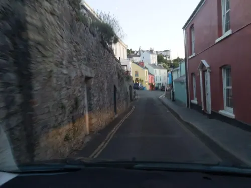
Boringdon Arms
Bar and pub · 1.2 mi
13 Boringdon Terrace, Plymouth
Mo-Th 12:00-23:00, Fr,Sa 12:00-24:00, Su 12:00-10:30
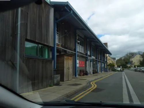
The Bridge
Restaurant · British · 1.5 mi
33 Shaw Way, Plymouth
Mo 09:00-18:00; Tu-Sa 09:00-23:00; Su 09:00-22:30
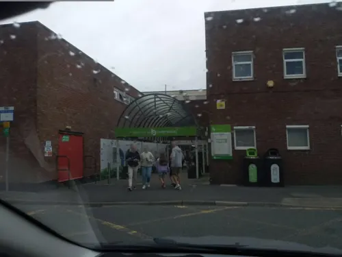
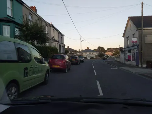
The Blue Peter
Bar and pub · 0.4 mi
Mo-Th 12:00-23:00, Fr,Sa 12:00-24:00, Su 12:00-10:30
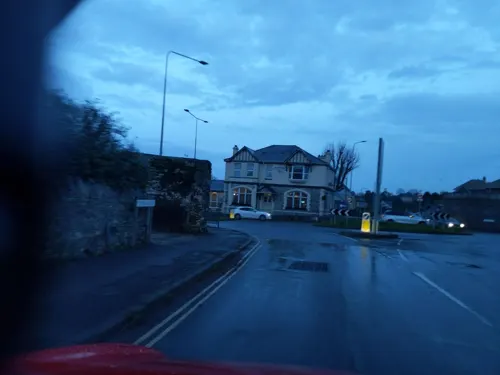
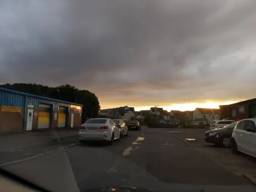
Summerskills Brewery
Brewery and winery · 0.6 mi
15 Pumphlett Farm Industrial Estate, Billacombe, Plymouth
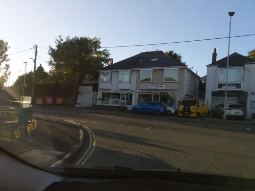

The Ships Tavern
Bar and pub · 1.1 mi
Arcadia Road, Plymouth
Mo,Tu 16:00-22:00; We,Th 15:30-21:30; Fr,Sa 15:00-23:30; Su 12:30-20:30

Costa
Cafe · Coffee Shop
29 The Broadway, Plymouth
Mo-Fr 07:30-18:00; Sa 08:00-17:00; Su 09:00-16:00
Jennycliff Cafe
Cafe · Cake, Fries · 1.5 mi
Jennycliff Lane, Plymouth
Mo-Su 09:00-16:00
34 more on the map.
History
The earliest surviving documentary reference to the place is as Plemestocha in the Domesday Book and its name is derived from Old English meaning either "outlying farm with a plum-tree" or, if it is short for Plympton Stock, "outlying farm belonging to Plympton".
The local branch railways through the area to Turnchapel and Yealmpton have been removed, the bridges and stations demolished, and the land built on. Pomphlett Mill has been demolished and the site used for a roundabout. Pomphlett Creek (shown right), once a popular rowing stretch has been partly filled in and what remains is largely silted up.
Until the 20th century Plymstock was a rural parish but began to develop rapidly just before and after the Second World War as a residential area outside Plymouth but acting as a dormitory area for the city. In 1961 the parish had a population of 14,700. On 1 April 1967, Plymstock, along with Plympton, was absorbed into the City of Plymouth and today, like Plympton, forms a populous and mostly home-owning south-eastern suburb of the city.
In March 1978, caves containing fossilised bones were discovered in the Turnchapel area of Plymstock. Further caves were found around the city in the 19th and 20th centuries including those at Cattedown, Stonehouse, and Oreston.
From the History section of Plymstock on Wikipedia, under CC BY-SA 4.0.
More about Plymstock
Geography
Situated on the east bank of the River Plym, Plymstock is geographically and historically part of the South Hams. It comprises the villages Billacombe, Elburton, Goosewell, Hooe, Mount Batten, Oreston, Pomphlett, Staddiscombe, Turnchapel and Plymstock proper, the centrally located village after which the parish and suburb is named.
From the Wikipedia article Plymstock, under CC BY-SA 4.0.
Notable people from Plymstock
- Barbara JeffordBritish actress (1930-2020)
- Colin Duncanassociation football player (born 1957)
- Warren WardEnglish association football player
- Henry Bellenden BulteelEnglish religious controversialist and seceder from the Church of England
Born in Plymstock, according to Wikidata (CC0). Each name links to its Wikipedia article.
Where to stay1
Churches and places of worship19
Shopping14
Gas and EV charging2
Schools, colleges and libraries13
Healthcare5
Map of Plymstock
145 places. The map loads OpenStreetMap tiles when you open it.
Getting there and nearby towns
Exeter Airport (EXT) is the nearest airport with scheduled flights listed in OpenStreetMap, 39 miles away.
- Plymouth 2 mi west, about 4 min by car
- Plympton 3 mi northeast, about 4 min by car
- Saltash 7 mi northwest, about 11 min by car
- Tavistock 13 mi north, about 21 min by car
- Teignmouth 29 mi northeast, about 47 min by car
- St Austell 30 mi west, about 49 min by car
- Exeter 35 mi northeast, about 57 min by car
- Truro 43 mi west, about 1 h 15 min by car
- Sidmouth 44 mi northeast, about 1 h 15 min by car
- Tiverton 46 mi northeast, about 1 h 15 min by car
Drive times are estimates from straight-line distance, not routes.
Towns near Plymstock


Keep exploring
Local news
Headlines from INDB.
Reviews, tips and questions
Loading what members have shared...
Sources and licences
- GeoNames (CC BY 4.0): population, coordinates, regions and time zone
- Mapillary (see each image): photos
- OpenStreetMap contributors (ODbL 1.0): places, airports, map data
- Wikidata (CC0 1.0): elevation, founding date, time zone, website, landmarks and historic places
- Wikimedia Commons (see each image): photos
- Wikipedia (CC BY-SA 4.0): overview and history text
Photo credits
- Pomphett Lake, Tony Atkin, CC BY-SA 2.0
- Shops on Plymstock Broadway, Plymouth, Devon - October 2026, Mutney, CC BY 4.0
- Plymstock Broadway, Plymouth, Devon - October 2026 (3), Mutney, CC BY 4.0
- Costa Coffee, Plymstock Broadway, Plymouth, Devon - October 2026, Mutney, CC BY 4.0
- Plymstock library (30485254938), JuliaC2006 from Rochester, UK, CC BY 2.0
- Post Office, Plymstock Broadway, Plymouth, Devon - October 2026, Mutney, CC BY 4.0
- Plymstock Broadway, Plymouth, Devon - October 2026 (2), Mutney, CC BY 4.0
- Plymstock Broadway, Plymouth, Devon - October 2026 (1), Mutney, CC BY 4.0
- InPost parcel locker, Plymstock Broadway, Plymouth, Devon - October 2026, Mutney, CC BY 4.0
- Sam's Place charity shop, Plymstock Broadway, Plymouth, Devon - October 2026, Mutney, CC BY 4.0
- Gnasher game - in Plymstock library (44304431532), Libraries Taskforce, CC BY 2.0
- Gnasher - in Plymstock library (44352596871), Libraries Taskforce, CC BY 2.0
- Laira Bridge Plymouth, UK, Graham Richardson from Plymouth, England, CC BY 2.0
- National Marine Aquarium, MyNameIsClare, Public domain
- New Palace Theatre Plymouth, Smalljim, CC BY 3.0
- Smeatons tower - Plymouth Hoe, Herbythyme, CC BY-SA 4.0
- Theatre Royal, Plymouth, painma, CC BY-SA 4.0
- Saltram House 2008, Chilli Head from Weston-super-Mare, UK, CC BY 2.0
- Armada Memorial, Plymouth Hoe, Nilfanion, CC BY-SA 3.0
- Plymouth Hoe statue - panoramio, tormentor4555, CC BY-SA 3.0
- Plymouth (2021-11-19) 51, Simon Cobb, CC0
- The Royal Citadel, Plymouth from Mount Batten, No machine-readable author provided. Adam Cuerden assumed (based on copyright claims)., Public domain
- Plymouth Museum and Art Gallery, Smalljim, CC BY 3.0
- Beacon Down Bowling Club in Central Park, Plymouth, Lee Vilenski, CC BY-SA 4.0
- Plymouth Hoe - panoramio, Merlin UK, CC BY-SA 3.0
- Victoria Park, Millbridge, Plymouth, Onlytruejames, CC BY-SA 3.0
- Stkatherineuponthehoe, Ian Cairns, Public domain
- St Jude's Church Plymouth, N Chadwick, CC BY-SA 2.0
- Church of St Mary the Virgin and St Mary Magdalene, Cattedown, Unknown author Unknown author, Public domain
- Arts University Plymouth, Onlytruejames, CC BY-SA 3.0
- University of Plymouth Arts Block, Tony Atkin, CC BY-SA 2.0
- Entrance Archway, Fort Stamford, Plymouth, .mw-parser-output .messagebox{margin:4px 0;width:auto;border-collapse:collapse;border:2px solid..., CC BY-SA 4.0
- Plymstock Library, Clib31, CC BY-SA 4.0
- St Gabriel's Church, Peverell, Plymouth, Ashley Smith, CC BY-SA 4.0
- Windows, Radford Castle Folly, .mw-parser-output .messagebox{margin:4px 0;width:auto;border-collapse:collapse;border:2px solid..., CC BY-SA 4.0
- Street-level photo, WaggyDog, CC BY-SA 4.0
- Street-level photo, WaggyDog, CC BY-SA 4.0
- Street-level photo, WaggyDog, CC BY-SA 4.0
- Street-level photo, WaggyDog, CC BY-SA 4.0
- Street-level photo, WaggyDog, CC BY-SA 4.0
- Street-level photo, WaggyDog, CC BY-SA 4.0
- Street-level photo, WaggyDog, CC BY-SA 4.0
- Street-level photo, WaggyDog, CC BY-SA 4.0
- Street-level photo, WaggyDog, CC BY-SA 4.0
- Street-level photo, WaggyDog, CC BY-SA 4.0
- Street-level photo, WaggyDog, CC BY-SA 4.0
- Street-level photo, WaggyDog, CC BY-SA 4.0
- Street-level photo, WaggyDog, CC BY-SA 4.0
- Street-level photo, WaggyDog, CC BY-SA 4.0
- Street-level photo, WaggyDog, CC BY-SA 4.0
- Street-level photo, WaggyDog, CC BY-SA 4.0
- Street-level photo, WaggyDog, CC BY-SA 4.0
- Street-level photo, WaggyDog, CC BY-SA 4.0
- Street-level photo, WaggyDog, CC BY-SA 4.0
- Street-level photo, WaggyDog, CC BY-SA 4.0
- Street-level photo, WaggyDog, CC BY-SA 4.0
- Street-level photo, WaggyDog, CC BY-SA 4.0
- Street-level photo, WaggyDog, CC BY-SA 4.0
- Street-level photo, WaggyDog, CC BY-SA 4.0


Page built November 10, 2026. Spotted a mistake? Tell us or suggest a place.