


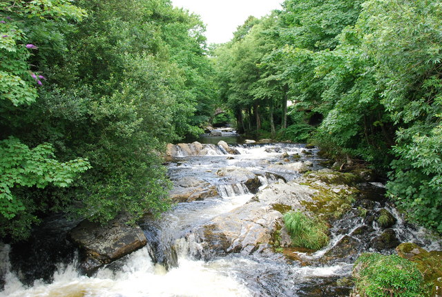


Ivybridge, United Kingdom
Ivybridge is a town of 11,851 people in England, United Kingdom.
Why visit Ivybridge
Townapedia lists 4 museums and landmarks, 3 parks and trails, 17 places to eat, 3 places to stay and 1 attraction in and around town.
Highlights include Lukesland Gardens.
Weather in Ivybridge
Forecast from MET Norway (CC BY 4.0). Full forecast
About Ivybridge
Ivybridge is a town and civil parish in the South Hams, in Devon, England. It lies about thirteen miles (twenty-one kilometres) east of Plymouth. It is at the southern extremity of Dartmoor, a National Park of England and Wales and lies along the A38 "Devon Expressway" road. There are two electoral wards in Ivybridge East and Ivybridge West with a total population of 11,851.
From the Wikipedia article Ivybridge (this version), under CC BY-SA 4.0.
Photos of Ivybridge


Things to do1

Museums and landmarks4

Parks, trails and playgrounds3


Restaurants and cafes17
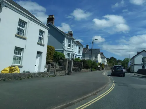
Trehill Arms
Bar and pub
1 Harford Road, Ivybridge
Mo 14:00-23:00; Th-Su 09:30-12:00


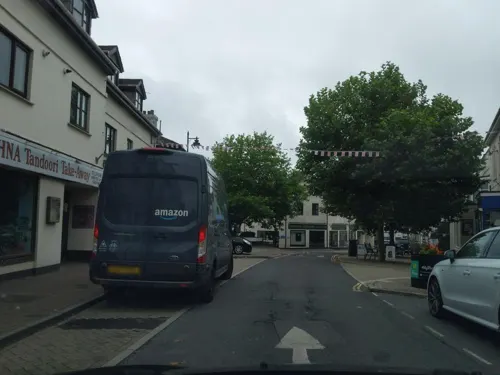
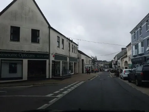
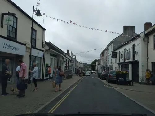


5 more on the map.
History
The name Ivybridge is derived from a small 13th century hump-backed bridge of the same name. The Ivy Bridge was the only means of crossing the river until the 1830s although plans were put forward in 1819. "Ivy" was used to describe the bridge, because there was ivy growing along the bridge. As the bridge was the centre of the village and important to its very existence, it was named the "parish of Ivybridge" in 1894.
Read more of the history
The first mention of a settlement in the Ivybridge area was the manor of Stowford in the Domesday Book of 1086. Although the first mention of Ivybridge came in 1280 when it was described as "dowry of land on the west side of the River Erme, by the Ivy Bridge." There was once a chapel, that was on the site of present-day Saint John's Church, originating from 1402. From the 16th century onwards mills were built in the town, harnessing the power of the river. Records show that in the 16th century there was a corn mill, a tin mill and an edge mill. One of the mills, 'Glanville's Mill' (a corn mill), was situated where many of the town shops are today and gives its name to the shopping centre. The first church (Saint John's) was built in 1790 as a chapel of ease, but 45 years later in 1835 it was consecrated as a district church. The oldest burial in St John's church yard is from 1836. In the 1830s the Ivy Bridge lost its position as the only means of crossing the river when the 'New Bridge' was built joining Fore Street and Exeter Road. Today, this bridge has been modernised so as to carry the increased weight and traffic of the 21st century.
Stowford Mill is depicted on a commemorative coin produced for the town of Ivybridge by Bigbury Mint Ltd, based in Ermington near the town. The 25 mm diameter coin also features the town's viaduct which stands at an impressive 104 feet high. The coin was first struck circa 2005 by Bigbury Mint.
In 1977 Ivybridge became a town. Throughout the 1980s and 1990s it underwent a period of rapid growth and was designated as the fastest growing town in Europe, the construction of the A38 "Devon Expressway" adjacent to the town significantly contributed to the town growth during this period.
From the History section of Ivybridge on Wikipedia, under CC BY-SA 4.0.
More about Ivybridge
Geography
At coordinates 50°23′28″N 3°55′12″W Ivybridge is situated deep in the south western peninsula of England, Ivybridge is 182 miles (293 kilometres) from London, 10 miles (16 km) from Totnes and 28 miles (45 km) from Exeter. The main road in and out of the town (the A38) allows fast access to its nearby city Plymouth for many of Ivybridge's commuters.
The topography of Ivybridge is generally hilly. This is because of the River Erme which flows right through the centre of town. To the east and to the west of the river the land is elevated forming a valley. The river first enters the town at 300 feet (91 m) above sea level and leaves the town at 130 feet (40 m) above sea level. At its height the top of the east and west of the valley is 260 feet (79 m) above sea level. The western beacon is a hill that overlooks the town; its peak can be seen from almost anywhere in the town. It is 1,076 feet (328 m) above sea level and 912 feet (278 m) above the town. There is also an area of woodland called Longtimber Woods to the north of the town, which attracts many walkers along its riverside path.
Economy
Ivybridge's earliest known economy relied on the River Erme with a corn mill, tin mill and an edge mill in existence in the town. Later development of the town relied on both the River Erme and the railway, which was built in the latter part of the Industrial Revolution of the United Kingdom. The largest employer to the town from 1787 Stowford Paper Mill, which led to population growth in the town. The paper mill closed in 2013. With the expansion of the town in the late 20th century much of the new jobs are in the service sector of industry. Due to the A38 Ivybridge's transport to nearby city Plymouth was made possible as a commuter route. As a result, a lot of Ivybridge's work or "economy" is made in Plymouth and nearby towns. Ivybridge does still have some of its own industry with a small industrial estate at the south of the town and very nearby an industrial estate just to the west at Lee Mill. There have been attempts to brand the town as a walking centre for southern Dartmoor. There is good access to Dartmoor from the town. For example, one route follows the route of the old china clay railway to Redlake in the heart of the moor, another follows the Erme through Longtimber Woods. There are other accesses to the Moor. The Two Moors Way, which crosses Dartmoor and Exmoor starts in Ivybridge and finishes in Lynmouth on the North Devon coast.
Education
The town has six schools: four state primary schools, the Dame Hannah Roger's special school, and Ivybridge Community College, the town's secondary state school, which has a sixth form. It has specialist status as a sports college and has recently been given awards in science and mathematics as well as languages. The school has a very large catchment area which stretches from Shaugh Prior on Dartmoor, to Bigbury on the coast and covers many of the villages in the South Hams such as Ugborough, Modbury and Yealmpton. There are no independent schools in Ivybridge, but Dame Hannah Rogers School provides a boarding education for children with disabilities and communication needs. The nearest university is the University of Plymouth. In 2008 a new library and resource centre called the Watermark was opened, replacing the small library on Keaton Road. Notable people from the community college include sports teacher Michaela Breeze who won a gold medal weightlifting in the 2002 Commonwealth Games for Wales and won another gold medal in the 2006 Commonwealth Games, Chris Bell, a retired rugby union player with Leeds, Harlequins, Sale Sharks and Wasps, and the school's former principal – Geoffrey Rees now retired, who was given a CBE for his services to education.
From the Wikipedia article Ivybridge, under CC BY-SA 4.0.
Notable people from Ivybridge
 Luke SummerfieldEnglish association football player (born 1987)Photo: Mattythewhite, CC BY-SA 4.0
 Stan TurnerCanadian World War II pilot (1913-1983)Photo: Stanley Arthur Devon, Public domain
 John HuxhamAustralian politicianPhoto: Unknown author, Public domain
- Gordon McLeodBritish actor (1890-1961)
- Edmund Baron HartleyBritish military officer (1847–1919); recipient of the Victoria Cross
- Charles Harriscivil servant in the British War Office
- Oliver TomlinsonEnglish association football player (born 2002)
Born in Ivybridge, according to Wikidata (CC0). Each name links to its Wikipedia article.
Where to stay3
Churches and places of worship8
Shopping3
Gas and EV charging1
Schools, colleges and libraries6
Healthcare3
Map of Ivybridge
49 places. The map loads OpenStreetMap tiles when you open it.
Getting there and nearby towns
Exeter Airport (EXT) is the nearest airport with scheduled flights listed in OpenStreetMap, 32 miles away.
- Plymstock 8 mi west, about 13 min by car
- Plymouth 10 mi west, about 16 min by car
- Saltash 14 mi west, about 22 min by car
- Tavistock 15 mi northwest, about 24 min by car
- Kingsteignton 18 mi northeast, about 30 min by car
- Teignmouth 21 mi northeast, about 35 min by car
- Exeter 29 mi northeast, about 46 min by car
- Sidmouth 36 mi northeast, about 58 min by car
- St Austell 38 mi west, about 1 h by car
- Tiverton 40 mi northeast, about 1 h by car
Drive times are estimates from straight-line distance, not routes.
Towns near Ivybridge


Keep exploring
Local news
Headlines from INDB.
Reviews, tips and questions
Loading what members have shared...
Sources and licences
- GeoNames (CC BY 4.0): population, coordinates, regions and time zone
- Mapillary (see each image): photos
- OpenStreetMap contributors (ODbL 1.0): places, airports, map data
- Wikidata (CC0 1.0): elevation, founding date, time zone, website, landmarks and historic places
- Wikimedia Commons (see each image): photos
- Wikipedia (CC BY-SA 4.0): overview and history text
Photo credits
- Ivybridge Watermark, SolomanMcKenzie, CC BY-SA 3.0
- Ivybridge Evangelical Church, Kevin Hale, CC BY-SA 2.0
- River Erme at Ivybridge in summer, jeff collins, CC BY-SA 2.0
- Constitutional Club, Ivybridge, jeff collins, CC BY-SA 2.0
- Highland Street from Erme Road, Ivybridge, Devon - August 2025, Mutney, CC BY 4.0
- War memorial, Ivybridge, Devon - August 2025, Mutney, CC BY 4.0
- Fore Street, Ivybridge, Devon - August 2025 (1), Mutney, CC BY 4.0
- The Watermark arts centre, Erme Court, Ivybridge, Devon - August 2025, Mutney, CC BY 4.0
- Ermington Church from SE, BrianAnalogue, CC BY-SA 3.0
- Erme Primary School, jeff collins, CC BY-SA 2.0
- Stowford Paper Mill machinery, jeff collins, CC BY-SA 2.0
- The Ivy Bridge, Tony Atkin, CC BY-SA 2.0
- The Watermark, jeff collins, CC BY-SA 2.0
- The Exchange pub, Fore Street, Ivybridge, Devon - August 2025, Mutney, CC BY 4.0
- The Old Smithy pub, Fore Street, Ivybridge, Devon - August 2025, Mutney, CC BY 4.0
- Street-level photo, WaggyDog, CC BY-SA 4.0
- Street-level photo, WaggyDog, CC BY-SA 4.0
- Street-level photo, WaggyDog, CC BY-SA 4.0
- Street-level photo, WaggyDog, CC BY-SA 4.0
- Street-level photo, WaggyDog, CC BY-SA 4.0
- Street-level photo, WaggyDog, CC BY-SA 4.0
- Street-level photo, WaggyDog, CC BY-SA 4.0
- Street-level photo, WaggyDog, CC BY-SA 4.0
- Street-level photo, WaggyDog, CC BY-SA 4.0
- Street-level photo, WaggyDog, CC BY-SA 4.0
- Street-level photo, WaggyDog, CC BY-SA 4.0
- Street-level photo, WaggyDog, CC BY-SA 4.0
- Street-level photo, WaggyDog, CC BY-SA 4.0
- Street-level photo, WaggyDog, CC BY-SA 4.0
- Street-level photo, WaggyDog, CC BY-SA 4.0
- Street-level photo, WaggyDog, CC BY-SA 4.0


Page built November 10, 2026. Spotted a mistake? Tell us or suggest a place.