


Why visit Bulphan
Townapedia lists 4 parks and trails and 2 places to eat in and around town.
Highlights include Horndon Meadow and Langdon Nature Reserve.
Weather in Bulphan
Forecast from MET Norway (CC BY 4.0). Full forecast
About Bulphan
Bulphan (Bul-ven ) is a village in the borough of Thurrock in Essex, England. It lies 5 miles (8 km) east of Upminster, its post town, and 4 miles (6 km) west of the centre of Basildon. At the 2021 census the Bulphan built up area had a population of 759.
From the Wikipedia article Bulphan (this version), under CC BY-SA 4.0.
Parks, trails and playgrounds4

Langdon Nature Reserve
Park · 1.8 mi
Essex Wildlife Trust Nature reserve

Langdon Hills Golf and Country Club
Golf course · 1.5 mi
3 x 9 hole Par 35 Langdon + 36 Hardon + 37 Bulphan Courses
Restaurants and cafes2
Churches and places of worship5

Church of St Nicholas
Church · 3.2 mi
Church in South Ockendon, Essex, England, UK

All Saints Church, East Horndon
Church · 2.4 mi
Church in East Horndon, Essex, England, UK
Church of St Mary Magdalene, North Ockendon
Church · 3.1 mi
Grade I listed church in the London Borough of Havering, England,UK
St Giles & All Saints Church, Orsett
Church · 2.3 mi
Church in Orsett, Thurrock, Essex, England, UK
Schools, colleges and libraries1

History
The name Bulphan combines the Old English terms burh meaning a fortification and fen meaning a marsh.
In the Domesday Book of 1086, Bulphan formed a manor listed as Bulgeuen or Bulgeven in the Barstable Hundred of Essex. At that time, the manor comprised 35 households and was owned by Barking Abbey.
No church or priest is explicitly recorded in the Domesday Book at Bulphan, but it came to be a parish. The current parish church, dedicated to St Mary, dates from the late 15th century.
When elected parish and district councils were established in 1894, Bulphan was given a parish council and included in the Orsett Rural District. The civil parish and the rural district were both abolished in 1936 when the area became Thurrock Urban District. At the 1931 census (the last before the abolition of the civil parish), Bulphan had a population of 455.
The parish of Bulphan has also been abolished for ecclesiastical purposes, merging with Horndon-on-the-Hill and Orsett to form a Church of England ecclesiastical parish called "Horndon, Orsett and Bulphan".
Bulphan's original village shop closed down in 2012. However, a new community-run shop and post office opened in early 2020, in a side extension of the village hall.
From the History section of Bulphan on Wikipedia, under CC BY-SA 4.0.
More about Bulphan
Geography
Bulphan forms part of the Orsett ward of Thurrock Council, and is part of the South Basildon and East Thurrock parliamentary constituency. It is located 21 miles (34 km) east north-east of Charing Cross in London. The Upminster post town forms a long, thin protrusion eastwards over the M25 motorway and the Greater London boundary in order to include the village.
The main features of Bulphan are the Bulphan Village Hall and Park, St Mary The Virgin Church, and Bulphan Church Of England Academy Primary School. The church is a grade I listed building.
Nearby places include Laindon, North Ockendon, Orsett and West Horndon.
Education
Primary education has been provided by the Bulphan Church of England Voluntary Controlled Primary School since 1853. Located on Fen lane, it educates around 84 pupils.
From the Wikipedia article Bulphan, under CC BY-SA 4.0.
Notable people from Bulphan
- Charles Littlehalescricketer (1871-1945)
- Trevor LummisBritish historian
Born in Bulphan, according to Wikidata (CC0). Each name links to its Wikipedia article.
Map of Bulphan
12 places. The map loads OpenStreetMap tiles when you open it.
Getting there and nearby towns
London City Airport (LCY) is the nearest airport with scheduled flights listed in OpenStreetMap, 14 miles away.
- Stanford-le-Hope 4 mi southeast, about 6 min by car
- Basildon 4 mi east, about 7 min by car
- South Ockendon 4 mi southwest, about 7 min by car
- Grays 5 mi south, about 8 min by car
- Upminster 5 mi west, about 7 min by car
- Brentwood 6 mi northwest, about 9 min by car
- Tilbury 6 mi south, about 9 min by car
- Billericay 6 mi northeast, about 10 min by car
- Pitsea 6 mi east, about 10 min by car
- Gravesend 7 mi south, about 12 min by car
Drive times are estimates from straight-line distance, not routes.
Towns near Bulphan


Keep exploring
Local news
Headlines from INDB.
Reviews, tips and questions
Loading what members have shared...
Sources and licences
- GeoNames (CC BY 4.0): population, coordinates, regions and time zone
- Mapillary (see each image): photos
- OpenStreetMap contributors (ODbL 1.0): places, airports, map data
- Wikidata (CC0 1.0): elevation, founding date, time zone, website, landmarks and historic places
- Wikimedia Commons (see each image): photos
- Wikipedia (CC BY-SA 4.0): overview and history text
Photo credits
- Village entrance, Bulphan, Essex, John Winfield, CC BY-SA 2.0
- Bulphan Church - panoramio, Chris Sharman, CC BY-SA 3.0
- St Nicholas' parish church, South Ockendon, Essex, AUM3RLE, CC BY-SA 4.0
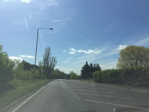
- Street-level photo, essexboy, CC BY-SA 4.0
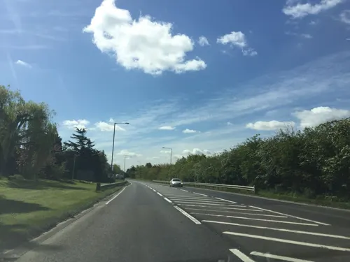
- Street-level photo, essexboy, CC BY-SA 4.0
Page built November 10, 2026. Spotted a mistake? Tell us or suggest a place.