


South Ockendon, United Kingdom
South Ockendon is a town of 22,440 people in England, United Kingdom.
Why visit South Ockendon
Townapedia lists 4 museums and landmarks, 18 parks and trails, 73 places to eat, 3 places to stay and 5 attractions in and around town.
Highlights include Queen Elizabeth II Bridge, State Cinema, South Ockendon War Memerial and Belhus.
Weather in South Ockendon
Forecast from MET Norway (CC BY 4.0). Full forecast
About South Ockendon
South Ockendon is a town in the borough of Thurrock in Essex, England. It is located close to the border with Greater London, just outside the M25 motorway. The area to the north is North Ockendon. South Ockendon was historically a parish; the parish was abolished for civil purposes in 1936 when South Ockendon became part of Thurrock.
From the Wikipedia article South Ockendon (this version), under CC BY-SA 4.0.
Things to do5

Queen Elizabeth II Bridge
Bridge · 3.2 mi
Bridge across the River Thames in south east England

State Cinema
Cinema and theater · 2.7 mi
Former cinema and theatre in Grays, England


Museums and landmarks4

Parks, trails and playgrounds18


Cranham Marsh
Park · 2.9 mi
Essex Wildlife Trust Nature reserve in the London Borough of Havering, England, UK

Rainham Marshes Nature Reserve
Park · 2.8 mi
Marshland nature reserve in Greater London and Essex, England, UK

Chafford Gorges Nature Park
Park · 1.5 mi
Essex Wildlife Trust Nature reserve

6 more on the map.
Restaurants and cafes73
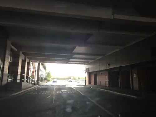
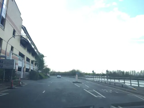
Bella Italia
Restaurant · Italian · 1.5 mi
The Broadwalk, Grays
Mo-Th 12:00-21:00; Fr-Sa 11:30-22:00; Su 11:00-19:00
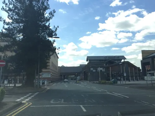
Casco Lounge
Restaurant · British · 1.4 mi
West Thurrock Way, Grays
Mo-We, Su 09:00-23:00; Th-Sa 09:00-24:00
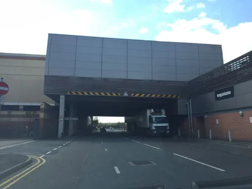
Las Iguanas
Restaurant · Latin American · 1.4 mi
The Broadwalk, Grays
Mo-Th 11:00-22:00; Fr-Sa 11:00-22:30; Su 11:00-21:00
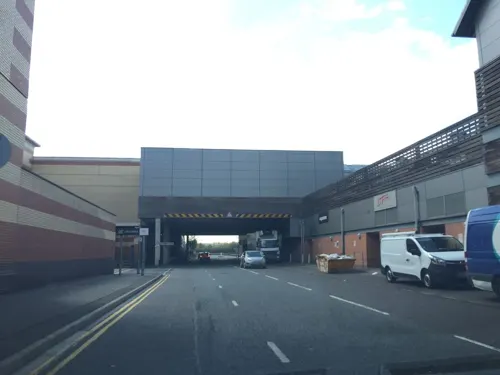
Prezzo
Restaurant · Italian · 1.4 mi
The Broadwalk, Grays
Mo-Th 12:00-22:00; Fr-Sa 11:30-22:30; Su 11:30-21:30

Nando's
Restaurant · Chicken, Portuguese · 1.4 mi
West Thurrock Way, Grays
Mo 11:30-18:00; Tu-Sa 11:30-21:00; Su 11:30-17:00

Costa
Cafe · Coffee Shop · 1.3 mi
West Thurrock Way, Grays
Mo-Sa 09:00-21:00; Su 11:00-17:00

Sainsy's
Restaurant · British · 1.4 mi
West Thurrock Way, Grays
Mo-Fr 10:00-21:00; Sa 09:00-21:00; Su 11:00-17:00
61 more on the map.
History
South Ockendon was an ancient parish in the Hundred of Chafford in Essex. It was a village before the Norman Conquest, and had a priest in 1085, suggesting it was already a parish by then. It is listed in the Domesday Book of 1086 as "Wocheduna". The name is conjecturally supposed to come from a Saxon chief, Wocca, whose tribe allegedly lived on a hill. The suffix "don" in Old English means a low hill in open country.
When elected parish and district councils were established under the Local Government Act 1894, South Ockendon was given a parish council and included in the Orsett Rural District. In 1929, South Ockendon and the neighbouring parishes of Aveley and West Thurrock were removed from Orsett Rural District to become the short-lived Purfleet Urban District. As part of that reform, South Ockendon was reclassified as an urban parish and so lost its parish council; the lowest elected tier of local government was Purfleet Urban District Council. The Purfleet Urban District was abolished just seven years later in 1936, becoming part of Thurrock Urban District. The civil parish of South Ockendon was abolished as part of the 1936 reforms, becoming part of a single parish of Thurrock covering the same area as the urban district. At the 1931 census (the last before the abolition of the civil parish), South Ockendon had a population of 1,355.
Read more of the history
Until the late 1940s, the village centred on the village green, with its Norman church of St Nicholas of Myra and the adjoining Royal Oak, a 14th-century tavern with a 17th-century northern extension. North, South and West Roads all converge on the green. The railway through Ockendon station was built in 1892 as a through line from Tilbury Dock to the Midlands and further via Upminster and Romford and now is a major commuter route between Southend and Fenchurch Street via Barking.
In 1912, Mollands Farm, to the south of the original village, was acquired for use as a rehabilitation facility for people with learning disabilities, who were put to useful work on the farm. Over time the farm developed into a major mental hospital called South Ockendon Hospital, known locally as "the colony". The hospital closed in 1994 and most of the buildings were subsequently demolished and the site was redeveloped as the Brandon Groves Estate.
South Ockendon village became a location for prefabricated houses (prefabs) accommodating bombed-out residents of East London/West Essex in the late 1940s. The majority of these were demolished in the late 1960s when a large Greater London Council estate, Lecaplan concrete construction homes – the Flowers' Estate – was built to replace them, once more with pre-fabricated dwellings, albeit of a superior design. The Lecaplan Type B form of pre-cast concrete (large panel concrete) terrace is constructed in rows of eight properties to a design by J C Tilley and manufactured by W. & C. French.
In the 1970s the Ford Motor Company factory at Aveley housed Ford's Advanced Vehicle Operations which built cars such as the RS1600. The plant was wound down gradually from the late 1990s but closed entirely in 2004, when the last 150 jobs were lost. The majority of the 150 workers accepted transfers to other Ford or ancillary sites around Essex. The 'Aveley' plant was situated along and west of the railway line, adjacent to Ockendon station in the Belhus Ward that part of Ockendon has now been developed into new housing estates, with street names after famous Ford vehicles in keeping with the sites history.
From the History section of South Ockendon on Wikipedia, under CC BY-SA 4.0.
More about South Ockendon
Education
Secondary education is provided by Harris Academy Ockendon (formally known as The Ockendon Academy, prior to that it was called The Ockendon School. Other schools in Ockendon included Culverhouse Comprehensive School which was demolished in 1992 and Lennard's Secondary Modern School). The Ockendon Academy joined the Harris family of schools in September 2019, with the aim to improve academic performance.
From the Wikipedia article South Ockendon, under CC BY-SA 4.0.
Notable people from South Ockendon
 Russ BrayEnglish darts refereePhoto: Sandro Halank , Wikimedia Commons, CC BY-SA 4.0
Born in South Ockendon, according to Wikidata (CC0). Each name links to its Wikipedia article.
Where to stay3
Churches and places of worship13
Shopping19
Gas and EV charging8
Schools, colleges and libraries14
Healthcare3
Map of South Ockendon
160 places. The map loads OpenStreetMap tiles when you open it.
Getting there and nearby towns
London City Airport (LCY) is the nearest airport with scheduled flights listed in OpenStreetMap, 10 miles away.
- Upminster 4 mi north, about 6 min by car
- Swanscombe 4 mi south, about 7 min by car
- Tilbury 5 mi southeast, about 7 min by car
- Dagenham 6 mi northwest, about 9 min by car
- Stanford-le-Hope 7 mi east, about 11 min by car
- Bexley 7 mi southwest, about 12 min by car
- Basildon 9 mi northeast, about 14 min by car
- Barking 9 mi west, about 14 min by car
- Swanley 9 mi southwest, about 14 min by car
- Ilford 10 mi west, about 16 min by car
Drive times are estimates from straight-line distance, not routes.
Towns near South Ockendon


Keep exploring
Local news
Headlines from INDB.
Reviews, tips and questions
Loading what members have shared...
Sources and licences
- GeoNames (CC BY 4.0): population, coordinates, regions and time zone
- Mapillary (see each image): photos
- OpenStreetMap contributors (ODbL 1.0): places, airports, map data
- Wikidata (CC0 1.0): elevation, founding date, time zone, website, landmarks and historic places
- Wikimedia Commons (see each image): photos
- Wikipedia (CC BY-SA 4.0): overview and history text
Photo credits
- Ockendon station building, Sunil060902, CC BY-SA 3.0
- Charlestons downstairs bar2, Peter Hammond, Public domain
- Neale(1818) p1.298 - Belhus, Essex, John Preston Neale, Public domain
- Cranham Marsh stream, Dudley Miles, CC BY-SA 3.0
- Rainham Marshes LNR 5, Dudley Miles, CC BY-SA 3.0
- St Clements Thurrock, PJDelaney, Public domain
- St Nicholas' parish church, South Ockendon, Essex, AUM3RLE, CC BY-SA 4.0
- Queen Elizabeth II bridge Penny Mayes, Penny Mayes, CC BY-SA 2.0
- Street-level photo, petermead, CC BY-SA 4.0
- Street-level photo, petermead, CC BY-SA 4.0
- Street-level photo, essexboy, CC BY-SA 4.0
- Street-level photo, essexboy, CC BY-SA 4.0
- Street-level photo, essexboy, CC BY-SA 4.0
- Street-level photo, essexboy, CC BY-SA 4.0
- Street-level photo, essexboy, CC BY-SA 4.0
- Street-level photo, essexboy, CC BY-SA 4.0
- Street-level photo, essexboy, CC BY-SA 4.0
- Street-level photo, Semir_Mapillary, CC BY-SA 4.0
- Street-level photo, Semir_Mapillary, CC BY-SA 4.0

Page built November 10, 2026. Spotted a mistake? Tell us or suggest a place.