


Castlewellan, United Kingdom
Castlewellan is a town of 2,499 people in Northern Ireland, United Kingdom.
Why visit Castlewellan
Townapedia lists 5 museums and landmarks, 13 parks and trails, 10 places to eat, 5 places to stay and 3 attractions in and around town.
Highlights include Castlewellan Castle and Tollymore Forest Park.
Weather in Castlewellan
Forecast from MET Norway (CC BY 4.0). Full forecast
About Castlewellan
Castlewellan (from Irish Caisleán Uidhilín, meaning 'Hugelin's castle') is a small market town in County Down, in the south-east of Northern Ireland close to the Irish Sea. It is 11 miles (18 km) south-west of Downpatrick and 4 miles (6.4 km) north-west of Newcastle. Lying between the Mourne Mountains and Slieve Croob, it has Castlewellan lake and Slievenaslat mountain nearby. The town had a population of 2,822 people in the 2021 census.
From the Wikipedia article Castlewellan (this version), under CC BY-SA 4.0.
Things to do3

Museums and landmarks5


Parks, trails and playgrounds13



1 more on the map.
Restaurants and cafes10
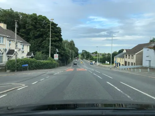
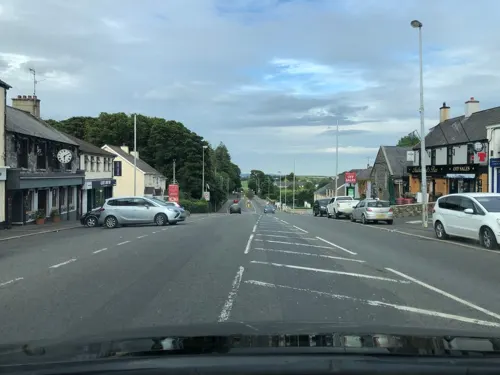
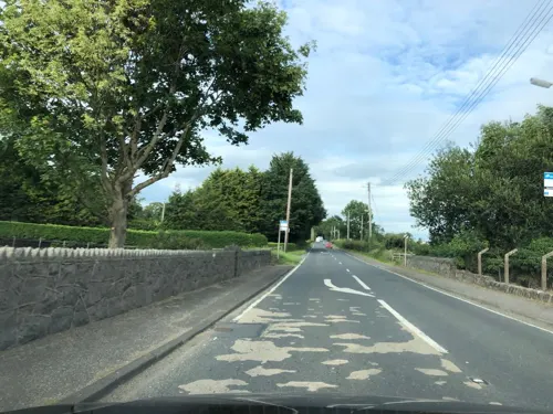
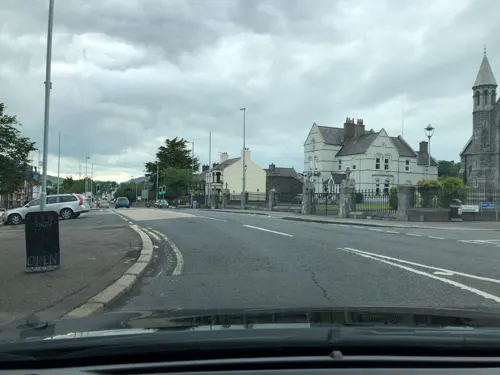



History
Evidence of ancient settlement in the area includes the Drumena Cashel - a small stone-built farmstead enclosure (or cashel) from the Early Christian period. It is 2 miles (3 km) south west of Castlewellan off the A25 road to Rathfriland. Within the cashel walls is an Iron Age underground souterrain. Also nearby is Legannany Dolmen, approximately 3 miles (4.8 km) to the north near the village of Leitrim, on the slopes of Slieve Croob. Goward Dolmen is a megalithic monument 2 miles (3.2 km) from Hilltown on the road to Castlewellan. The huge granite capstone of this structure has slipped from its original horizontal position.
12 July 1849 saw the Dolly's Brae conflict. Up to 1400 armed Orangemen marched from Rathfriland to Tollymore Park near Castlewellan, County Down. On their homeward journey, shots were fired and police were unable to control the situation. None of the Orangemen were harmed, but it was estimated that about 80 Catholics were killed and homes burnt.
Castlewellan Castle, a Scottish baronial castle of 1856, Castlewellan Lake in what is now Castlewellan Forest Park. The castle is now used as a privately run Christian conference centre, and is not generally open to the public.
According to the Sunday Times Insight Team, the entire village (the population then was given as 819) was bound over to keep the peace for a year in 1953 after disorder at an Orange walk.
Read more of the history
A number of incidents occurred in Castlewellan during the Troubles. For example, in January 1980, three members of the Ulster Defence Regiment were killed in a Provisional Irish Republican Army land mine attack on their mobile patrol near Castlewellan. Those killed included James Cochrane (21, a Catholic), Robert Smyth (18, a Protestant), and Richard Wilson (21, a Protestant).
Castlewellan has historically been an Irish Republican town. In 2016, a large Republican commemoration of the 1916 Rising was held in the town. A march, commemorating the 1981 hunger strikes, was also held there in 2018.
Throughout the course of the Troubles, the area had a significant paramilitary presence, mostly involving Provisional Irish Republican Army (PIRA) activity. In 2009, the Real Irish Republican Army claimed responsibility a car bomb which had been abandoned in the area.
From the History section of Castlewellan on Wikipedia, under CC BY-SA 4.0.
Notable people from Castlewellan
 Francis Annesley, 6th Earl AnnesleyAnglo-Irish peer and military aviatorPhoto: The original uploader was Richard..., Public domain
- Niamh McGradyIrish actress
- Joe TonerNorthern Irish footballer (1894–1954)
- Constance MallesonBritish actress (1895-1975)
- Séamus Ó NéillIrish writer (1910–1981)
- John ScarboroughAmerican bishop (1831-1914)
- Harry McCrackenNorthern Irish footballer
- Lady Clare AnnesleyBritish pacifist and socialist activist (1893–1980)
- Johnny McGrattanIrish hurler
Born in Castlewellan, according to Wikidata (CC0). Each name links to its Wikipedia article.
Where to stay5
Churches and places of worship3
Shopping1
Gas and EV charging2
Schools, colleges and libraries7
Annsborough Integrated Primary School
School · 1.2 mi
51 Ballylough Road, Castlewellan
St Malachy's Primary School
School · Roman Catholic
33 Lower Square, Castlewellan
Healthcare2
Map of Castlewellan
51 places. The map loads OpenStreetMap tiles when you open it.
Getting there and nearby towns
George Best Belfast City Airport (BHD) is the nearest airport with scheduled flights listed in OpenStreetMap, 25 miles away.
- Dundrum 4 mi east, about 6 min by car
- Downpatrick 10 mi northeast, about 17 min by car
- Crossgar 12 mi northeast, about 20 min by car
- Dromore 14 mi northwest, about 22 min by car
- Kilkeel 14 mi south, about 22 min by car
- Banbridge 15 mi northwest, about 24 min by car
- Saintfield 15 mi north, about 24 min by car
- Hillsborough 15 mi north, about 25 min by car
- Rostrevor 15 mi southwest, about 24 min by car
- Newry 17 mi west, about 27 min by car
Drive times are estimates from straight-line distance, not routes.
Towns near Castlewellan


Keep exploring
Local news
Headlines from INDB.
Reviews, tips and questions
Loading what members have shared...
Sources and licences
- GeoNames (CC BY 4.0): population, coordinates, regions and time zone
- Mapillary (see each image): photos
- OpenStreetMap contributors (ODbL 1.0): places, airports, map data
- Wikidata (CC0 1.0): elevation, founding date, time zone, website, landmarks and historic places
- Wikimedia Commons (see each image): photos
- Wikipedia (CC BY-SA 4.0): overview and history text
Photo credits
- Castlewellan, Paul at English Wikipedia, CC BY-SA 3.0
- Tollymore Forest Park, September 2010 (10), Ardfern, CC BY-SA 3.0
- Castlewellan Castle, Chief Judge Rico, CC BY-SA 3.0
- Street-level photo, laye, CC BY-SA 4.0
- Street-level photo, laye, CC BY-SA 4.0
- Street-level photo, laye, CC BY-SA 4.0
- Street-level photo, laye, CC BY-SA 4.0
- Street-level photo, laye, CC BY-SA 4.0
- Street-level photo, laye, CC BY-SA 4.0
- Street-level photo, laye, CC BY-SA 4.0
- Street-level photo, laye, CC BY-SA 4.0
- Street-level photo, laye, CC BY-SA 4.0
Page built November 10, 2026. Spotted a mistake? Tell us or suggest a place.