


Hillsborough, United Kingdom
Hillsborough is a town of 3,872 people in Northern Ireland, United Kingdom.
Why visit Hillsborough
Townapedia lists 9 museums and landmarks, 3 parks and trails and 15 places to eat in and around town.
Highlights include Hillsborough Castle, Ulster Aviation Society, Balmoral Park and Hillsborough Castle and Gardens.
Weather in Hillsborough
Forecast from MET Norway (CC BY 4.0). Full forecast
About Hillsborough
Royal Hillsborough more commonly known simply as Hillsborough, is a historic village and civil parish in County Down, Northern Ireland, 19 km (12 mi) from the city of Belfast. It is within the Lisburn and Castlereagh District Council area, and had a population of 4,160 in the 2021 census.
From the Wikipedia article Royal Hillsborough (this version), under CC BY-SA 4.0.
Travel tips from other travellers: Hillsborough on Wikivoyage (CC BY-SA 4.0).
Museums and landmarks9

Hillsborough Castle
Monument and historic site · 0.4 mi
Castle in Royal Hillsborough, County Down, Northern Ireland
Ulster Aviation Society
Museum · 1.6 mi
Museum in Lisburn, Northern Ireland


Parks, trails and playgrounds3

Balmoral Park
Park · 2.0 mi
Exhibition park near Lisburn, Northern Ireland

Restaurants and cafes15
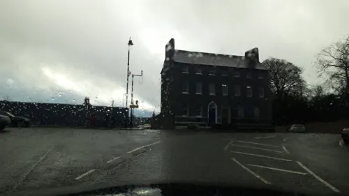
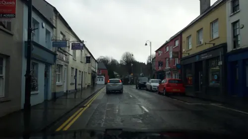
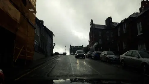
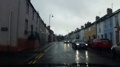


3 more on the map.
Churches and places of worship6

Kilwarlin Moravian Church
Church · 2.4 mi
Church building in Royal Hillsborough, County Down, Northern Ireland
Hillsborough Presbyterian Church
Church · Presbyterian
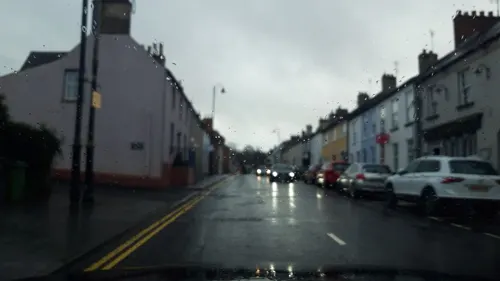
Lisburn Street, Hillsborough

History
Before 1661, the townland was known as Crumlin or Cromlin (from Irish Cromghlinn 'crooked glen'). By 1661, during the Plantation of Ulster, the townland and the settlement within it had been renamed Hillsborough. It was named after English army officer Sir Moses Hill, and his son Arthur Hill, who built Hillsborough Fort in 1650 to command the road from Dublin to Carrickfergus. The Hill family became the Earls of Hillsborough, then Marquesses of Downshire.
The mansion known as Hillsborough Castle was built in 1770 for The 1st Earl of Hillsborough (he was later created The 1st Marquess of Downshire, in 1789).
A prominent memorial to The 3rd Marquess of Downshire (1788–1845)—closely resembling Nelson's Column in Trafalgar Square, London—stands to the south of the village and is visible throughout much of the surrounding area.
In 2007, Hillsborough won 3rd place in the annual Ulster in Bloom competition in the large village category.
In 2021, it was announced that letters patent would be issued granting the village the prefix "Royal", thus officially becoming "Royal Hillsborough", in recognition of Hillsborough Castle, the official royal residence for Northern Ireland. The Letters Patent came into effect on 20 October that year.
From the History section of Royal Hillsborough on Wikipedia, under CC BY-SA 4.0.
Notable people from Hillsborough
 Jimmy McLarninIrish boxer (1907–2004)Photo: Los Angeles Times, CC BY 4.0
 Richard LyonsBritish racing driverPhoto: Morio, CC BY-SA 4.0
 Dan HarperNorthern Irish racing driverPhoto: Cs-wolves, CC BY-SA 4.0
- Hamilton HartyIrish composer, conductor, pianist and organist
- Frank PantridgeBritish doctor
- Peter Bothwelltennis player (1995-)
- Abraham HumeScots-Irish Anglican priest in Liverpool (1814-84)
- Brian MaginessNorthern Irish politician and judge (1901-1967)
- Rex McCandlessBritish motorcycle racer (1915–1992)
- Ernie McClearyassociation football player (1923-2012)
- Henry William LettIrish botanist (1836-1920)
- Johnny Stewartrugby union player
Born in Hillsborough, according to Wikidata (CC0). Each name links to its Wikipedia article.
Shopping1
Gas and EV charging1
Schools, colleges and libraries2
Healthcare3
Map of Hillsborough
40 places. The map loads OpenStreetMap tiles when you open it.
Getting there and nearby towns
George Best Belfast City Airport (BHD) is the nearest airport with scheduled flights listed in OpenStreetMap, 14 miles away.
- Lisburn 4 mi north, about 7 min by car
- Moira 6 mi west, about 10 min by car
- Saintfield 10 mi east, about 16 min by car
- Belfast 11 mi northeast, about 18 min by car
- Banbridge 11 mi southwest, about 18 min by car
- Craigavon 13 mi west, about 20 min by car
- Dundonald 14 mi northeast, about 23 min by car
- Newtownabbey 15 mi northeast, about 24 min by car
- Portadown 15 mi west, about 24 min by car
- Holywood 16 mi northeast, about 25 min by car
Drive times are estimates from straight-line distance, not routes.
Towns near Hillsborough


Keep exploring
Local news
Headlines from INDB.
Reviews, tips and questions
Loading what members have shared...
Sources and licences
- GeoNames (CC BY 4.0): population, coordinates, regions and time zone
- Mapillary (see each image): photos
- OpenStreetMap contributors (ODbL 1.0): places, airports, map data
- Wikidata (CC0 1.0): elevation, founding date, time zone, website, landmarks and historic places
- Wikimedia Commons (see each image): photos
- Wikipedia (CC BY-SA 4.0): overview and history text
Photo credits
- Hillsborough Town center, HENRY CLARK, CC BY-SA 2.0
- Hillsborough Castle, Kenneth Allen, CC BY-SA 2.0
- Kilwarlin church, Brian Shaw, CC BY-SA 2.0
- Marquis Of Downshire Monument (full), Slowtech2000, CC BY-SA 4.0
- Street-level photo, debigc, CC BY-SA 4.0
- Street-level photo, yannakis, CC BY-SA 4.0
- Street-level photo, debigc, CC BY-SA 4.0
- Street-level photo, debigc, CC BY-SA 4.0
- Street-level photo, debigc, CC BY-SA 4.0
- Street-level photo, debigc, CC BY-SA 4.0
- Street-level photo, debigc, CC BY-SA 4.0
- Street-level photo, debigc, CC BY-SA 4.0
- Street-level photo, debigc, CC BY-SA 4.0
- Street-level photo, debigc, CC BY-SA 4.0
- Street-level photo, debigc, CC BY-SA 4.0
- Street-level photo, debigc, CC BY-SA 4.0
- Street-level photo, debigc, CC BY-SA 4.0
- Street-level photo, debigc, CC BY-SA 4.0
Page built November 10, 2026. Spotted a mistake? Tell us or suggest a place.