

Crossgar, United Kingdom
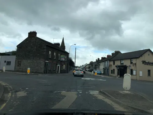
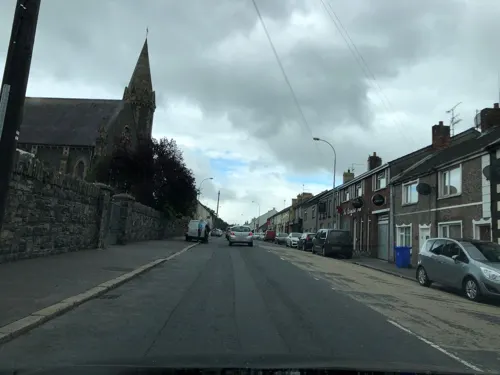
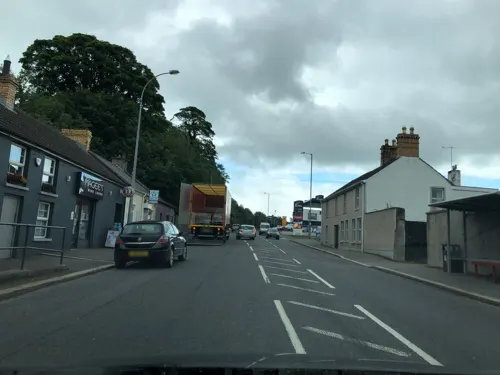
Crossgar is a town of 1,667 people in Northern Ireland, United Kingdom.
Why visit Crossgar
Townapedia lists 1 museum or landmark, 6 parks and trails and 16 places to eat in and around town.
Highlights include Tobar Mhuire Retreat & Conference Centre.
Weather in Crossgar
Forecast from MET Norway (CC BY 4.0). Full forecast
About Crossgar
Crossgar (from Irish an Chrois Ghearr 'the short cross') is a village and townland in County Down, Northern Ireland. It is about 15 miles (24 km) south of Belfast, between Saintfield and Downpatrick. Crossgar had a population of 1,997 people in the 2021 UK Census.
From the Wikipedia article Crossgar (this version), under CC BY-SA 4.0.
Museums and landmarks1

William Sharman-Crawford
Monument and historic site · 1.0 mi
Stone obelisk on stepped plinth, surrounded by four short pillars.
Parks, trails and playgrounds6



Restaurants and cafes16
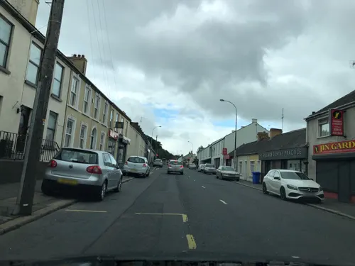
The Villager
Bar and pub
1 Downpatrick Street
We,Th 12:00-23:00; Fr 12:00-24:00; Sa 00:00-01:00,12:00-24:00; Su...
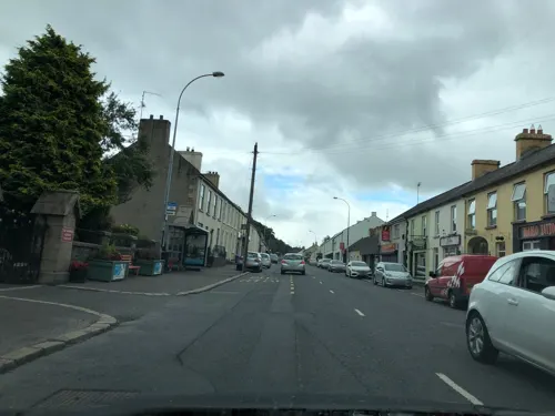
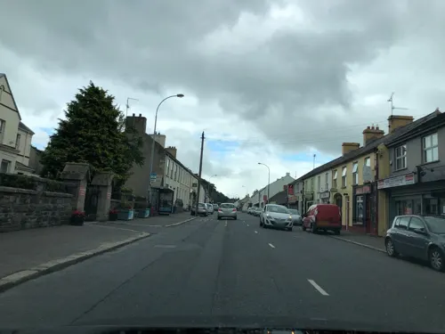
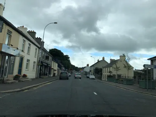
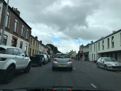




4 more on the map.
Churches and places of worship1

History
Crossgar has had an interesting and varied past, dating from the establishment of ancient Gaelic royal and ecclesiastical sites, the settlement of Anglo-Norman invaders, to Scots settlers, to the St. Patrick's Day riots in the 1800s. According to a history of Down and Connor by a Fr. O'Laverty, the parish of Kilmore, in which Crossgar lies, was likely to have been established around 800 AD and was the ecclesiastical centre of this part of County Down. It was thought that the area had seven chapels and these can be reasonably evident by the remains of burial grounds. But the seventh cannot be traced to a burial ground and is referred to as the "lost chapel of Cill Glaise". O'Laverty says that by tradition this chapel was built by Saint Patrick and left in the care of his disciples Glasicus and Liberius.
Prior to the creation of Crossgar as a village in the early 19th century, the area was simply known as Everogues Bridge (beside today's roundabout). Ever Og is said to have been a local chieftain in the 17th century, either Ever Og Magenis of Kilmore or Ever Og O’Nealle of Carrickmannon.
Read more of the history
The name Crossgar comes from the Irish. It is the old Everogues crossing over the Glasswater River where Crossgar An Chrois Ghearr (meaning "the short cross") most likely gets its name. Although there is also a holy well known as St Mary's Well (Tobar Mhuire) which may suggest that in this case crois (cross) is referring to an ecclesiastical cross, no trace of which now remains. The adjective gearr (short) may suggest that the cross was damaged or in some way defective.
The parish of Kilmore comes from the Irish Cill Mhór meaning "big church" or another possible meaning is An Choill Mhór meaning "the big forest", which suggests that the area was covered by a large forest. Another location of one of the seven chapels is the townland of Killinchy (Cill Duinsí) meaning "Duinseach's Church".
In June 1920, during the Irish War of Independence, Irish Republican Army volunteers attacked the Royal Irish Constabulary barracks in Crossgar. They opened fire on the building, wounding two officers, and attempted to breach the walls with explosives before withdrawing.
From the History section of Crossgar on Wikipedia, under CC BY-SA 4.0.
Notable people from Crossgar
 Jim AllisterNorthern Irish politician (born 1953)Photo: ©House of Commons / Roger Harris, CC BY 3.0
 Harry Harveypolitician in Northern IrelandPhoto: Northern Ireland Assembly, CC BY 4.0
- Andrew WaterworthNorthern Irish footballer
- Brian SteensonBritish motorcycle racer
- James MartinNorthern Irish aerospace engineer and co-founder of Martin-Baker
Born in Crossgar, according to Wikidata (CC0). Each name links to its Wikipedia article.
Shopping2
Gas and EV charging4
Schools, colleges and libraries4
Healthcare1
Map of Crossgar
35 places. The map loads OpenStreetMap tiles when you open it.
Getting there and nearby towns
George Best Belfast City Airport (BHD) is the nearest airport with scheduled flights listed in OpenStreetMap, 16 miles away.
- Downpatrick 5 mi south, about 8 min by car
- Saintfield 5 mi northwest, about 8 min by car
- Portaferry 9 mi east, about 14 min by car
- Dundrum 10 mi south, about 16 min by car
- Greyabbey 12 mi northeast, about 20 min by car
- Lisburn 14 mi northwest, about 23 min by car
- Newtownards 14 mi north, about 22 min by car
- Dundonald 14 mi north, about 22 min by car
- Hillsborough 14 mi west, about 22 min by car
- Belfast 15 mi northwest, about 25 min by car
Drive times are estimates from straight-line distance, not routes.
Towns near Crossgar


Keep exploring
Local news
Headlines from INDB.
Reviews, tips and questions
Loading what members have shared...
Sources and licences
- GeoNames (CC BY 4.0): population, coordinates, regions and time zone
- Mapillary (see each image): photos
- OpenStreetMap contributors (ODbL 1.0): places, airports, map data
- Wikidata (CC0 1.0): elevation, founding date, time zone, website
- Wikimedia Commons (see each image): photos
- Wikipedia (CC BY-SA 4.0): overview and history text
Photo credits
- Crossgar, Shops in Downpatrick Street, Peter Benton, CC BY-SA 2.0
- Street-level photo, laye, CC BY-SA 4.0
- Street-level photo, laye, CC BY-SA 4.0
- Street-level photo, laye, CC BY-SA 4.0
- Street-level photo, laye, CC BY-SA 4.0
- Street-level photo, laye, CC BY-SA 4.0
- Street-level photo, laye, CC BY-SA 4.0
- Street-level photo, laye, CC BY-SA 4.0
- Street-level photo, laye, CC BY-SA 4.0
- Street-level photo, laye, CC BY-SA 4.0
- Street-level photo, laye, CC BY-SA 4.0
- Street-level photo, laye, CC BY-SA 4.0
- Street-level photo, laye, CC BY-SA 4.0
- Street-level photo, laye, CC BY-SA 4.0
- Street-level photo, laye, CC BY-SA 4.0
- Street-level photo, laye, CC BY-SA 4.0
- Street-level photo, laye, CC BY-SA 4.0
Page built November 10, 2026. Spotted a mistake? Tell us or suggest a place.