


Dundrum, United Kingdom
Dundrum is a town of 1,090 people in Northern Ireland, United Kingdom.
Why visit Dundrum
Townapedia lists 5 museums and landmarks, 8 parks and trails, 6 places to eat and 1 place to stay in and around town.
Highlights include Mount Panther Farm Park, Murlough Nature Reserve and Greenbanks picnic site.
Weather in Dundrum
Forecast from MET Norway (CC BY 4.0). Full forecast
About Dundrum
Dundrum (from Irish Dún Droma, meaning 'fort of the ridge') is a village and townland in County Down, Northern Ireland. It is beside Dundrum Bay, about four miles (six kilometres) outside Newcastle on the A2 road. The village is best known for its ruined Norman castle. The village had a population of 1,538 people at the 2021 census.
From the Wikipedia article Dundrum, County Down (this version), under CC BY-SA 4.0.
Museums and landmarks5



Parks, trails and playgrounds8



Restaurants and cafes6
Scopers
Cafe
169 Main Street, Dundrum
Mo 12:00-20:00, Th,Fr 11:00-15:00, Th,Fr 17:00-21:00, Sa,Su 12:00-21:00

Where to stay1

History
In 1177, the Normans, who had conquered great swathes of Ireland, invaded eastern Ulster and captured territories along its coast. John de Courcy, who had led the invasion, began building Dundrum Castle in the early 13th century on top of an earlier fort, "Dun Rury" (Rudraige), which was a seat for the remaining Ulaid septs east of the River Bann, after the collapse of the kingdom in the 4th century. The castle was to guard the land routes from Drogheda to Downpatrick. In 1203, de Courcy was expelled from Ulster by fellow Norman Hugh de Lacy, 1st Earl of Ulster. Two years later, de Courcy tried to re-take the castle but failed. It was visited by King John in 1210, who spent money for minor works to the castle and paid for a garrison there.
Read more of the history
Dundrum castle was held by the Earls of Ulster until the 15th century, it was captured by the Magennises of Mourne, a Gaelic clan. In 1517, the Earl of Kildare briefly captured the castle, as did the Lord Deputy Leonard Grey, 1st Viscount Grane in 1538. The castle was surrendered to the English Crown in 1601 by Phelim Magennis, granted to Edward Lord Cromwell and sold to the Blundell family. The Magennises re-took the castle during the Irish Confederate Wars/Eleven Years' War (1641–1653) but lost it to the Parliamentarians ("Roundheads") of the contenders versus the Cavaliers of King Charles I in the simultaneous English Civil War. The Blundells returned after the civil war during the Restoration of the Monarchy and built the house on the south edge of the castle.
In 1806, Arthur Hill, 3rd Marquess of Downshire engaged engineers to develop the area. They recommended deepening the harbour to allow larger vessels to trade. By 1825 they had completed a new pier over 300 feet (90 metres) long.
The SS Great Britain ran aground in Dundrum Bay in 1846. There was no loss of life but it took nearly a year to refloat.
From 1866 a new iron screw steamer provided a service to Whitehaven, Cumbria and Dundrum became commercially important for both goods and passengers. It later lost trade to the deeper harbours of Warrenpoint and Belfast but Dundrum remained a commercial port until 1984.
In 1967, nearby Murlough became Ireland's first nature reserve.
From the History section of Dundrum, County Down on Wikipedia, under CC BY-SA 4.0.
Notable people from Dundrum
 Patrick KieltyIrish comedian and television personalityPhoto: Claire Boxall, CC BY-SA 2.0
- James J. Drummbattery Train innovator
Born in Dundrum, according to Wikidata (CC0). Each name links to its Wikipedia article.
Churches and places of worship3
Schools, colleges and libraries1
Map of Dundrum
24 places. The map loads OpenStreetMap tiles when you open it.
Getting there and nearby towns
George Best Belfast City Airport (BHD) is the nearest airport with scheduled flights listed in OpenStreetMap, 25 miles away.
- Downpatrick 7 mi northeast, about 11 min by car
- Saintfield 14 mi north, about 23 min by car
- Kilkeel 15 mi southwest, about 24 min by car
- Portaferry 15 mi northeast, about 24 min by car
- Hillsborough 17 mi northwest, about 27 min by car
- Rostrevor 18 mi southwest, about 29 min by car
- Banbridge 19 mi west, about 30 min by car
- Lisburn 20 mi northwest, about 32 min by car
- Newry 21 mi west, about 33 min by car
- Belfast 24 mi north, about 38 min by car
Drive times are estimates from straight-line distance, not routes.
Towns near Dundrum


Keep exploring
Local news
Headlines from INDB.
Reviews, tips and questions
Loading what members have shared...
Sources and licences
- GeoNames (CC BY 4.0): population, coordinates, regions and time zone
- Mapillary (see each image): photos
- OpenStreetMap contributors (ODbL 1.0): places, airports, map data
- Wikidata (CC0 1.0): elevation, founding date, time zone, website, landmarks and historic places
- Wikimedia Commons (see each image): photos
- Wikipedia (CC BY-SA 4.0): overview and history text
Photo credits
- Dundrum Bay, May 2011 (02), Ardfern, CC BY-SA 3.0
- Murlough National Nature Reserve (17), February 2010, Ardfern, CC BY-SA 3.0
- Dundrum Castle from outside, Eschadew, CC BY-SA 4.0
- Long View of Mount Panther (319712840), bixentro, CC BY 2.0
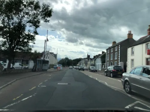
- Street-level photo, laye, CC BY-SA 4.0
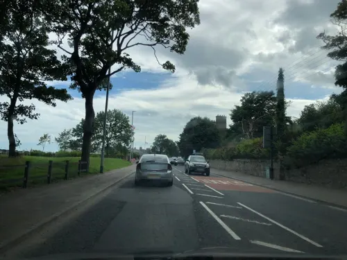
- Street-level photo, laye, CC BY-SA 4.0
- Street-level photo, laye, CC BY-SA 4.0
- Street-level photo, laye, CC BY-SA 4.0
- Street-level photo, laye, CC BY-SA 4.0
- Street-level photo, laye, CC BY-SA 4.0
- Street-level photo, laye, CC BY-SA 4.0
- Street-level photo, laye, CC BY-SA 4.0
- Street-level photo, laye, CC BY-SA 4.0
- Street-level photo, laye, CC BY-SA 4.0
Page built November 10, 2026. Spotted a mistake? Tell us or suggest a place.