


Banbridge, United Kingdom
Banbridge is a town of 16,173 people in Northern Ireland, United Kingdom.
Why visit Banbridge
Townapedia lists 6 museums and landmarks, 6 parks and trails, 45 places to eat, 1 place to stay and 4 attractions in and around town.
Highlights include Omniplex, Ballievey Bridge, FE McWilliam Gallery and Studio and Solitude Park.
Weather in Banbridge
Forecast from MET Norway (CC BY 4.0). Full forecast
About Banbridge
Banbridge is a town in County Down, Northern Ireland. It lies on the River Bann and the A1 road and is named after a bridge built over the Bann in 1712. It is in the civil parish of Seapatrick and the historic barony of Iveagh Upper, Upper Half. The town began as a coaching stop on the road from Belfast to Dublin and thrived from Irish linen manufacturing.
From the Wikipedia article Banbridge (this version), under CC BY-SA 4.0.
Travel tips from other travellers: Banbridge on Wikivoyage (CC BY-SA 4.0).
Things to do4


Museums and landmarks6


Parks, trails and playgrounds6



Restaurants and cafes45


Thai Noodle
Restaurant · Sushi, Thai, Noodle · 0.6 mi
15 Bridge Street, Banbridge

33 more on the map.
History
Banbridge, home to the "Star of the County Down", is a relatively young town, first entering recorded history around 1691 during the aftermath of the struggle between William III and James II. An Outlawry Court was set up in the town to deal with the followers of James. The town grew up around the site where the main road from Belfast to Dublin crossed the River Bann over an Old Bridge which was situated where the present bridge now stands.
The town owes its success to flax and the linen industry, becoming the principal linen producing district in Ireland by 1772 with a total of 26 bleachgreens along the Bann. By 1820 the town was the centre of the 'Linen Homelands' and its prominence grew when it became a staging post on the mail coach route between Dublin and Belfast. A gift of £500 from the Marquis of Downshire around this time helped to alleviate some problems with the steepness of the road and paid for significant improvements. This industry has now greatly diminished in prominence, but Banbridge still has three of the major producers in Ulster; Weavers, Thomas Ferguson & Co, and John England Irish Linen.
In 1994, Banbridge was twinned with Ruelle-sur-Touvre in Nouvelle-Aquitaine, France.
Read more of the history
In 1920, Banbridge saw violence related to the ongoing Irish War of Independence and partition of Ireland. On the 17th July, the Irish Republican Army (IRA) assassinated British colonel Gerald Smyth in Cork. He had ordered police officers to shoot civilians if they did not immediately obey orders. In a 17 June 1920 speech at the Listowel, County Kerry Royal Irish Constabulary station Smyth is quoted as saying: "The more you shoot, the better I will like you, and I assure you no policeman will get into trouble for shooting any man." Smyth was from a wealthy Banbridge family, and his large funeral was held there on 21 July. After Smyth's funeral, about 3,000 Protestant loyalists took to the streets of Banbridge and wreaked revenge on the Catholic community. Many Catholic homes and businesses were attacked, burned and looted, despite police being present. A large mob of loyalists, some of them armed, attacked and tried to break into the home of a republican family. The father fired on the mob, killing Protestant William Sterritt. A local Orange lodge was later named in his honour. Hundreds of Catholic factory workers were also forced from their jobs, and many Catholic families fled Banbridge. Calm was restored after the British Army were deployed in the town. In the summer of 1920 sectarian rioting occurred in several other towns/cities in east Ulster: Belfast, Dromore and Newtownards.
Banbridge had three major bombings during the Troubles. On 15 March 1982, a Provisional IRA bomb on Bridge Street killed a schoolboy and injured 36 people. On 4 April 1991, another IRA bomb of 1,000 lb of explosives caused widespread damage and injured a police officer outside Banbridge Courthouse. There was also a dissident republican bombing on 1 August 1998 after the signing of the Good Friday Agreement (see 1998 Banbridge bombing) when a bomb detonated outside a shoe shop in Newry Street.
From the History section of Banbridge on Wikipedia, under CC BY-SA 4.0.
Notable people from Banbridge
 John Butler YeatsIrish artist (1839-1922)Photo: Alice Boughton, Public domain
 Francis CrozierIrish naval officer and polar explorerPhoto: FabTet, CC BY-SA 4.0
 Diane DoddsBritish politician (born 1958)Photo: Diliff, CC BY-SA 3.0
 Jim ShannonBritish politician (born 1955)Photo: Richard Townshend, CC BY 3.0
 Matthew TeggartIrish cyclistPhoto: Jérémy-Günther-Heinz Jähnick, CC BY-SA 3.0
 Gary HamiltonNorthern Irish footballerPhoto: Ben d02, CC BY-SA 4.0
 Dermott LennonIrish equestrianPhoto: Clément Bucco-Lechat, CC BY-SA 3.0
 Fred ClarkeNorthern Irish former footballer (born 1941)Photo: Eskil Malmberg, Public domain
 Dennis Rogan, Baron RoganBritish politicianPhoto: Chris McAndrew, CC BY 3.0
 Madeline PerryIrish squash playerPhoto: stevecubbins, CC BY-SA 2.0
- E. R. DoddsIrish classical scholar (1893–1979)
- Samantha LewthwaiteBritish widow, Islamist and fugitive
Born in Banbridge, according to Wikidata (CC0). Each name links to its Wikipedia article.
Where to stay1
Churches and places of worship9
Bannside Presbyterian Church
Church · Presbyterian · 0.7 mi
Castlewellan Road, Banbridge
Saint Patrick's Roman Catholic Church
Church · Roman Catholic · 0.9 mi
Dromore Road
Banbridge Free Presbyterian Church
Church · Presbyterian · 0.9 mi
Ballymoney Road, Banbridge
Independent Methodist Church
Church · Methodist · 0.5 mi
Peggys Loaning, Banbridge
Shopping17
Gas and EV charging14
Schools, colleges and libraries10
Healthcare4
Map of Banbridge
116 places. The map loads OpenStreetMap tiles when you open it.
Getting there and nearby towns
Belfast International Airport (BFS) is the nearest airport with scheduled flights listed in OpenStreetMap, 21 miles away.
- Portadown 8 mi northwest, about 13 min by car
- Newry 12 mi south, about 19 min by car
- Lisburn 16 mi northeast, about 25 min by car
- Belfast 22 mi northeast, about 36 min by car
- Dungannon 22 mi northwest, about 36 min by car
- Downpatrick 23 mi east, about 37 min by car
- Newtownabbey 26 mi northeast, about 42 min by car
- Dundonald 26 mi northeast, about 41 min by car
- Holywood 27 mi northeast, about 44 min by car
- Newtownards 29 mi northeast, about 47 min by car
Drive times are estimates from straight-line distance, not routes.
Towns near Banbridge


Keep exploring
Local news
Headlines from INDB.
Reviews, tips and questions
Loading what members have shared...
Sources and licences
- GeoNames (CC BY 4.0): population, coordinates, regions and time zone
- Mapillary (see each image): photos
- OpenStreetMap contributors (ODbL 1.0): places, airports, map data
- Wikidata (CC0 1.0): elevation, founding date, time zone, website, landmarks and historic places
- Wikimedia Commons (see each image): photos
- Wikipedia (CC BY-SA 4.0): overview and history text
Photo credits
- Banbridge, Henry Clark, CC BY-SA 2.0
- Downshire Bridge and the Cut, Banbridge, Co. Down (32142553241), National Library of Ireland on The Commons, No restrictions
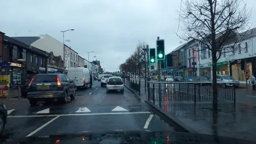
- Street-level photo, yannakis, CC BY-SA 4.0
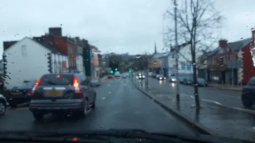
- Street-level photo, yannakis, CC BY-SA 4.0
- Street-level photo, laye, CC BY-SA 4.0
- Street-level photo, debigc, CC BY-SA 4.0
- Street-level photo, laye, CC BY-SA 4.0
- Street-level photo, yannakis, CC BY-SA 4.0
- Street-level photo, yannakis, CC BY-SA 4.0
- Street-level photo, yannakis, CC BY-SA 4.0
- Street-level photo, laye, CC BY-SA 4.0
- Street-level photo, mackerski, CC BY-SA 4.0
- Street-level photo, mackerski, CC BY-SA 4.0
- Street-level photo, yannakis, CC BY-SA 4.0
- Street-level photo, debigc, CC BY-SA 4.0
- Street-level photo, debigc, CC BY-SA 4.0
- Street-level photo, debigc, CC BY-SA 4.0
- Street-level photo, debigc, CC BY-SA 4.0
- Street-level photo, laye, CC BY-SA 4.0
- Street-level photo, mackerski, CC BY-SA 4.0
- Street-level photo, yannakis, CC BY-SA 4.0
- Street-level photo, yannakis, CC BY-SA 4.0
- Street-level photo, debigc, CC BY-SA 4.0
- Street-level photo, debigc, CC BY-SA 4.0
- Street-level photo, yannakis, CC BY-SA 4.0
- Street-level photo, debigc, CC BY-SA 4.0
Page built November 10, 2026. Spotted a mistake? Tell us or suggest a place.