



Charmouth, United Kingdom
Charmouth is a town of 1,352 people in England, United Kingdom.
Why visit Charmouth
Townapedia lists 2 museums and landmarks, 1 park or trail, 7 places to eat, 10 places to stay and 1 attraction in and around town.
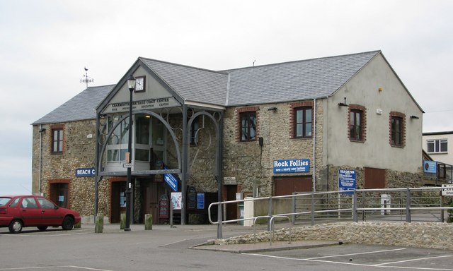
Highlights include Monmouth Beach, Charmouth Heritage Coast Centre, Lyme Regis Museum and Lyme Regis Golf Club.
Weather in Charmouth
Forecast from MET Norway (CC BY 4.0). Full forecast
About Charmouth
Charmouth is a village and civil parish in west Dorset, England. The village is situated on the mouth of the River Char, around 1.5 miles (2 km) north-east of Lyme Regis. Dorset County Council estimated that in 2013 the population of the civil parish was 1,310. In the 2011 census the population of the parish, combined with the small parish of Catherston Leweston to the north, was 1,352.
From the Wikipedia article Charmouth (this version), under CC BY-SA 4.0.
Travel tips from other travellers: Charmouth on Wikivoyage (CC BY-SA 4.0).
Things to do1

Museums and landmarks2

Charmouth Heritage Coast Centre
Museum · 0.4 mi
Heritage centre in Dorset, England, UK

Lyme Regis Museum
Museum · 1.7 mi
Museum in Dorset, England, United Kingdom
Parks, trails and playgrounds1

Restaurants and cafes7

History
Human occupation at Charmouth dates back to an Iron Age settlement by a Celtic tribe, the Durotriges. Evidence of hill forts can still be seen in the area.
In Saxon times Charmouth was 'Cernmunde', derived from 'Cerne' lit. 'stony river'. Historian George Roberts wrote:
Read more of the history
During the Saxon period, the neighbouring coast was particularly subject to the invasions of the Danes, concerning whom so much has been written. In 787, the Danes, Northern men, or Normans[a], landed at Portland from three ships, to reconnoitre the country, which they did without interruption, as the Saxons had neglected their marine. A. D. 833, according to the Saxon Chronicle, though some of our historians place the event in 831 or 832, a dreadful battle was fought at Charmouth. The Danes having met with repulses in other parts of the kingdom sailed to Charmouth where having landed, Speed says, "they made cruel ravage and slaughter." Their fleet consisted of 35 ships, containing a powerful army: their whole force, Huntingdon remarks, must have amounted to 17,500 men; other writers have estimated their numbers at about 15,000. Egbert collected the whole force of the county, and marched to attack them, after they had continued their ravages, according to Matthew of Westminster, about a twelve month. The king had nearly succeeded in cutting them off as they were forming; he threw them into great confusion, but continual supplies of men from the ships turned the scale in their favour. The Saxons were routed: the night alone prevented their destruction by the infuriated invaders, by the favour of which, Speed says, the king hardly escaped. Among the number of the slain were two earls, his principal officers, Dudda and Osmond, Wigen, bishop of Sherborne, and Hereferth, bishop of Winton. The Danes, finding a settlement would be liable to the attacks of the brave Egbert, retired to their ships with precipitation, and set sail. They continued to hover about the coast. In 840, they effected a landing on the same spot, (set Carrum,) from the same number of ships. Ethelwulf's army, which he headed in person, advanced to encounter them: a bloody battle ensued, which, after a desperate struggle, terminated in the Danes remaining masters of the field, though they shortly afterwards retired without any spoil. A successive series of invasions followed.
The 1086 Domesday Book records Charmouth as 'Cernemude'; it had 22 households, 3 ploughlands and 16 acres (6.5 ha) of meadow. It was in Whitchurch Canonicorum Hundred and the tenant-in-chief was Count Robert of Mortain.
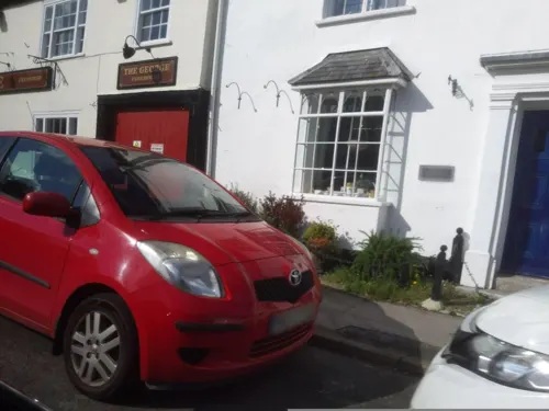
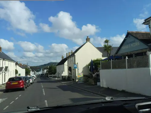
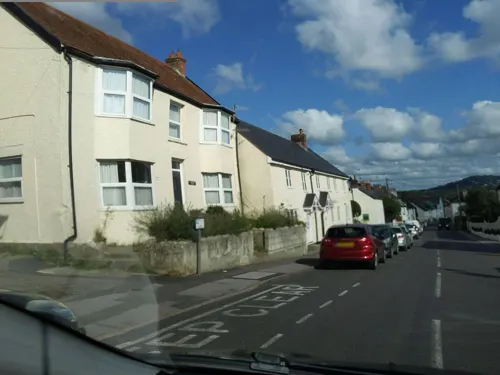
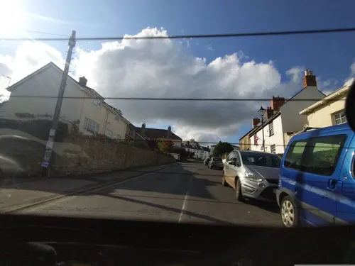
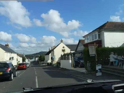
The buildings on either side of Charmouth's main street vary in age; some of the smaller cottages date from the 17th or 18th century, while others are built in later Regency style. A number of buildings in the village have listed building status.
In the 18th and 19th centuries Charmouth village was a noted resort, with visitors including novelist Jane Austen who wrote that it was "a nice place for sitting in unwearied contemplation".
The present parish church, dedicated to Saint Andrew, was built in 1836, replacing an earlier building of circa 1503, which itself had replaced a mediaeval structure. Treves described it as "exceptionally ugly".
Abbots House (previously The Queens Armes Hotel) is a grade II listed, early 16th-century house that was re-faced in the 18th century. It once belonged to Forde Abbey and the badge of Catherine of Aragon was found worked into the plaster of an upstairs room.
The inn gave shelter to the fugitive King Charles II on 22 September 1651, when he came disguised looking for a boat to take him to France following his defeat at the Battle of Worcester. A small trading ship was found bound for St Malo. The master, Stephen Limbry, agreed to pick up the King from Charmouth beach and transport him to the ship, but just two hours before the pick up Limbry told his wife, who locked him in his room and stole his clothes to ensure he would not become involved.
On the following day Charles left Charmouth pursued by troops, who were alerted to his presence by an employee of the inn.
From the History section of Charmouth on Wikipedia, under CC BY-SA 4.0.
More about Charmouth
Geography
Charmouth is a coastal village which overlooks Lyme Bay and is part of the Jurassic Coast. It lies among steep hills and is sited on a sloping site to the west of the River Char, close to its mouth at the English Channel. Stonebarrow Hill is to the east, Black Venn to the west, and Golden Cap, the highest cliff on the south coast of England at 191 metres (627 ft), is 2.5 miles (4 km) to the east. The National Trust owns significant portions of the surrounding area.
The cliffs above the beach are a noted source of fossils from the Jurassic period.
From the Wikipedia article Charmouth, under CC BY-SA 4.0.
Notable people from Charmouth
- Graham MannBritish sailor
- Llewellyn ReesBritish actor (1901–1994)
- Jennie Loriston-ClarkeBritish equestrian
- John Halescricketer (1833-1915)
- Lady Ann Warden SpencerBritish noble
Born in Charmouth, according to Wikidata (CC0). Each name links to its Wikipedia article.
Where to stay10
Churches and places of worship7
Church of St Candida and Holy Cross, Whitchurch Canonicorum
Church · 2.2 mi
Shopping4
Schools, colleges and libraries2
Healthcare1
Map of Charmouth
35 places. The map loads OpenStreetMap tiles when you open it.
Getting there and nearby towns
Royal Naval Air Station Yeovilton (YEO) is the nearest airport with scheduled flights listed in OpenStreetMap, 22 miles away.
- Bridport 6 mi east, about 10 min by car
- Chard 10 mi north, about 16 min by car
- Honiton 13 mi west, about 21 min by car
- Sidmouth 15 mi west, about 24 min by car
- West Coker 16 mi northeast, about 25 min by car
- Dunkeswell 16 mi northwest, about 27 min by car
- Yeovil 18 mi northeast, about 29 min by car
- Newton Poppleford 18 mi west, about 28 min by car
- Taunton 21 mi northwest, about 34 min by car
- Weymouth 21 mi southeast, about 34 min by car
Drive times are estimates from straight-line distance, not routes.
Towns near Charmouth


Keep exploring
Local news
Headlines from INDB.
Reviews, tips and questions
Loading what members have shared...
Sources and licences
- GeoNames (CC BY 4.0): population, coordinates, regions and time zone
- Mapillary (see each image): photos
- OpenStreetMap contributors (ODbL 1.0): places, airports, map data
- Wikidata (CC0 1.0): elevation, founding date, time zone, website, landmarks and historic places
- Wikimedia Commons (see each image): photos
- Wikipedia (CC BY-SA 4.0): overview and history text
Photo credits
- Blue lias cliffs at Lyme Regis, MichaelMaggs, CC BY-SA 2.5
- Charmouth Heritage Coast Centre, Sarah Charlesworth, CC BY-SA 2.0
- Lyme Regis Museum 01, Joadl, CC BY-SA 3.0 at
- Sunset on the Jurassic Coast - Flickr - Robin Mulligan, Robin Mulligan, CC BY 2.0
- Street-level photo, WaggyDog, CC BY-SA 4.0
- Street-level photo, WaggyDog, CC BY-SA 4.0
- Street-level photo, ukchris, CC BY-SA 4.0
- Street-level photo, WaggyDog, CC BY-SA 4.0
- Street-level photo, WaggyDog, CC BY-SA 4.0
- Street-level photo, WaggyDog, CC BY-SA 4.0
- Street-level photo, WaggyDog, CC BY-SA 4.0
- Street-level photo, WaggyDog, CC BY-SA 4.0
- Street-level photo, WaggyDog, CC BY-SA 4.0
- Street-level photo, WaggyDog, CC BY-SA 4.0
- Street-level photo, WaggyDog, CC BY-SA 4.0
- Street-level photo, WaggyDog, CC BY-SA 4.0
Page built November 10, 2026. Spotted a mistake? Tell us or suggest a place.