




Why visit Chard
Townapedia lists 5 museums and landmarks, 6 parks and trails, 14 places to eat, 1 place to stay and 1 attraction in and around town.
Highlights include Barleymow's Farm Shop and Restaurant, Chard Museum and Snowdon Turnpike Cottage.
Weather in Chard
Forecast from MET Norway (CC BY 4.0). Full forecast
About Chard
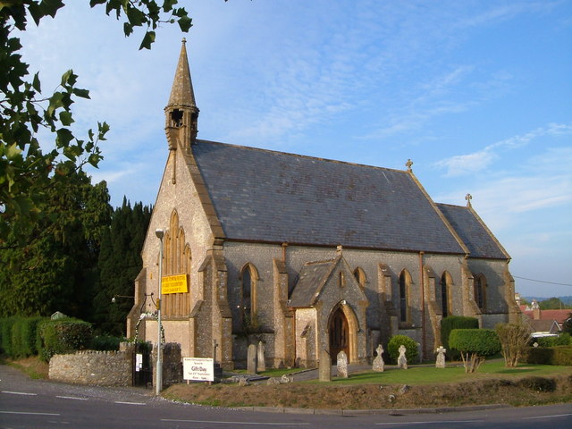
Chard is a town and a civil parish in Somerset, England. It lies on the A30 road near the Devon and Dorset borders, 15 miles (24 km) south-west of Yeovil. With an elevation of 121 metres (397 ft), Chard is one of the highest towns in Somerset. At the 2021 census, the parish had a population of 14,292.
From the Wikipedia article Chard, Somerset (this version), under CC BY-SA 4.0.
Travel tips from other travellers: Chard on Wikivoyage (CC BY-SA 4.0).
Things to do1
Barleymow's Farm Shop and Restaurant
Farm and orchard · 1.0 mi
Snowdon Hill Farm, Chard
Mo-Sa 08:30-18:00; Su,PH 08:30-16:00
Museums and landmarks5

Snowdon Turnpike Cottage
Monument and historic site · 0.5 mi
Snowdon Hill Loop, Chard

Forde Abbey
Museum · 3.2 mi
Grade I listed historic house museum in West Dorset, England, UK
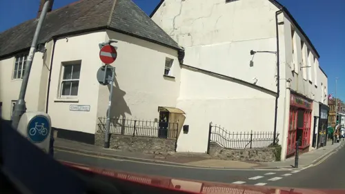
John Stringfellow Monument
Monument and historic site
Memorial to the work of John Stringfellow who built and flew the first powered aeroplane in 1848.
Fore St, Chard

Parks, trails and playgrounds6


Restaurants and cafes14
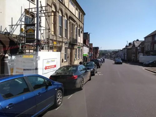
Mrs O's
Cafe · Breakfast, Burger, Coffee Shop, Sandwich, Brunch
15 Fore Street, Chard
Mo-Fr 08:00-15:00; Sa 08:00-13:00
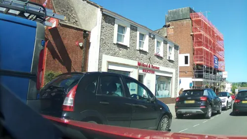
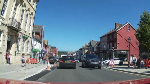
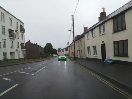
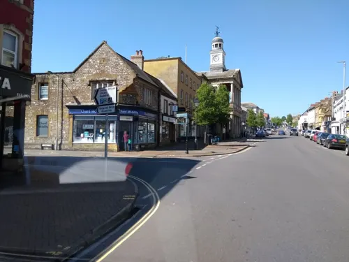
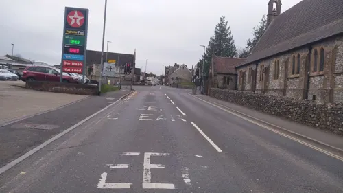


2 more on the map.
History
The earliest evidence of settlement near Chard is the Iron Age fort of Cotley Castle overlooking the Town near Bound's Lane. There was a small Saxon settlement centred round the Church and the area is still known as 'Old Town'. Chard's name was Cerden in 1065 and Cerdre in the Domesday Book of 1086 and it means "house on the chart or rough ground" (Old English: ćeart + renn). Before the Norman Conquest Chard was held by the Bishop of Wells. The town's first charter was from King John and another from the bishop in 1234, which delimited the town and laid out burgage holdings in 1-acre (4,000 m2) lots at a rent of twelve pence per year. The parish of Chard was part of the Kingsbury Hundred,
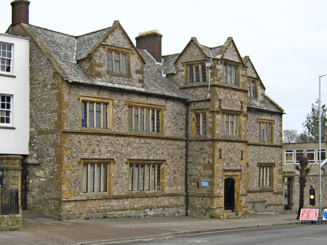
Most of the town was destroyed by fire in 1577. After this time the town was largely rebuilt including Waterloo House and Manor Court House in Fore Street which were built as a house and courtroom, and have now been converted into shops and offices. In 2023, the historic Court House building was acquired by Somerset Council to safeguard its future. Further damage to the town took place during the English Civil War with both sides plundering its resources, particularly in 1644 when Charles I spent a week in the town.
Read more of the history
A 1663 will by Richard Harvey of Exeter established Almshouses which became Harvey's Hospital. These were rebuilt in 1870 largely of stone from previous building. In 1685 during the Monmouth Rebellion, the pretender James Scott, 1st Duke of Monmouth, was proclaimed King in the Town and several locals joined his forces. Commander of the pursuing Royalist army, John Churchill, made a severe cautionary speech to the townsfolk in St Mary's. After the rebellion collapsed, Chard witnessed the execution and traitor's death of 12 of the Duke of Monmouth's rebels, who were summarily tried and condemned at Taunton Castle by Judge Jeffreys. They were hung, drawn and quartered by the 'Handcross tree' whose site was near the present Tesco roundabout. The tree was removed by the railway in 1864 amid loud local protests.
There was a fulling mill in the town by 1394 for the textile industry. After 1820 this expanded with the town becoming a centre for lace manufacture led by manufacturers who fled from the Luddite resistance they had faced in the English Midlands. Bowden's Old Lace Factory and the Gifford Fox factory are examples of the sites constructed. The Guildhall was built as a Corn Exchange and Guildhall in 1834 and is now the Town Hall.
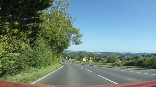
On Snowdon Hill is a small cottage which was originally a toll house built by the Chard Turnpike trust in the 1830s, to collect fees from those using a road up the hill which avoided the steep gradient.
Chard is the birthplace of powered flight, as it was here in 1848 that the Victorian aeronautical pioneer John Stringfellow (1799–1883) first demonstrated that engine-powered flight was possible through his work on the Aerial Steam Carriage. James Gillingham (1839–1924) from Chard pioneered the development of articulated artificial limbs when he produced a prosthesis for a man who lost his arm in a cannon accident in 1863. Chard Museum has a display of Gillingham's work.
Chard was a key point on the Taunton Stop Line, a World War II defensive line consisting of pillboxes and anti-tank obstacles, which runs from Axminster north to the Somerset coast near Highbridge. In 1938 a bomb proof bunker was built behind the branch of the Westminster Bank. During the war it was used to hold duplicate copies of the bank records in case its headquarters in London was destroyed. It was also used to store the emergency bank note supply of the Bank of England. There has also been speculation that the Crown Jewels were also stored there, however this has never been confirmed.
Action Aid, the International Development Charity, had their headquarters in Chard when they started life in 1972 as Action in Distress. The Supporters Services department of the charity is still based in Chard.
From the History section of Chard, Somerset on Wikipedia, under CC BY-SA 4.0.
More about Chard
Geography
At an altitude of 121 metres (397 ft), Chard is one of the highest towns in Somerset, and is also the southernmost. The suburbs include: Crimchard, Furnham, Glynswood, Henson Park and Old Town. Local folklore claims that the town has a very unusual and unique feature, a stream running along either side of Fore Street. One stream eventually flows into the Bristol Channel and the other reaches the English Channel. This situation changed when the tributary of the Axe was diverted into the Isle; the gutter in Holyrood Street, though, still flows into the River Axe and therefore it is still true it lies on the watershed and that two gutters within the town eventually drain into the Bristol Channel and the English Channel.
The 36.97 hectares (91.4 acres) Chard Reservoir, around a mile northeast of the town, is a Local Nature Reserve. It is used for dog walking, fishing and birdwatching, with a bird hide having been installed. Species that are seen regularly include grey herons, kingfishers, great cormorants, little grebes, ducks and also a wide range of woodland songbirds. Others include the great white egret, cattle egret, and spotted redshank.
Economy
Textile manufacture was important to the town during the Middle Ages. Chard is the birthplace of powered flight as in 1848 John Stringfellow first demonstrated that engine-powered flight was possible. Percy and Ernest Petter, who formed Westland Aircraft Works, witnessed some of Stringfellow's demonstrations in Chard and often asked for help in the formation of Westland's first aircraft development factory on the outskirts of Yeovil. AgustaWestland now holds the Henson and Stringfellow lecture yearly for the Royal Aeronautical Society. James Gillingham developed articulated artificial limbs. Chard is a key point on the Taunton Stop Line, a World War II defensive line.
Chard is the home of Numatic International Limited, notable for its 'Henry' vacuum cleaners with the characteristic large smiling face. The company employs over 700 people. In contrast to competitors such as Hoover and Dyson the firm continues to manufacture in Britain. The site occupies an area of more than 10 hectares and operates continuously, producing over 4,000 products per day.
Education
The original school building in Fore Street was built in 1583 a private residence for William Symes of Poundisford. In 1671 his youngest son, John, conveyed the property to 12 trustees so that it should be converted into a grammar school – according to his father's wish. Today, it is known as Chard School, a private school for children ages 4 to 11.
Avishayes Community Primary School, Manor Court Community Primary School, Tatworth Primary School and The Redstart Primary School all offer primary education, while Holyrood Academy offers secondary education. The school, as of 2019, has 1,276 pupils between the ages of 11 and 18.
From the Wikipedia article Chard, Somerset, under CC BY-SA 4.0.
Notable people from Chard
 Margaret BondfieldBritish feminist and trade unionist (1873–1953)Photo: Harris & Ewing, Public domain
 Ben HamerEnglish footballer (born 1987)Photo: https://www.flickr.com/photos/rorals/, CC BY 2.0
 Sheila AllenBritish actress (1932–2011)Photo: PBS, Public domain
- Greg DraperNew Zealand footballer
- Thomas CoganEnglish physician (1545?–1607)
- John Hunwickprofessor, Arabist and Africanist with a focus on Islam in Africa and African Arabic manuscripts
- John BondEnglish jurist, born 1612
- John ElliotBritish physician and scientist
- James PriddyEnglish cricketer (1909-1994)
- Gerald KyrkeEnglish rugby union footballer (1882–1932)
- Frederick Dwellyinaugural Dean of Liverpool
Born in Chard, according to Wikidata (CC0). Each name links to its Wikipedia article.
Where to stay1
Churches and places of worship12
Shopping4
Gas and EV charging1
Schools, colleges and libraries6
Healthcare2
Map of Chard
52 places. The map loads OpenStreetMap tiles when you open it.
Getting there and nearby towns
Royal Naval Air Station Yeovilton (YEO) is the nearest airport with scheduled flights listed in OpenStreetMap, 17 miles away.
- Honiton 11 mi southwest, about 18 min by car
- Sidmouth 17 mi southwest, about 28 min by car
- Street 20 mi northeast, about 32 min by car
- Tiverton 23 mi west, about 37 min by car
- Dorchester 26 mi southeast, about 41 min by car
- Exeter 27 mi southwest, about 43 min by car
- Wells 27 mi northeast, about 43 min by car
- Shepton Mallet 28 mi northeast, about 46 min by car
- Dawlish 30 mi southwest, about 48 min by car
- Teignmouth 32 mi southwest, about 52 min by car
Drive times are estimates from straight-line distance, not routes.
Towns near Chard


Keep exploring
Local news
Headlines from INDB.
Reviews, tips and questions
Loading what members have shared...
Sources and licences
- GeoNames (CC BY 4.0): population, coordinates, regions and time zone
- Mapillary (see each image): photos
- OpenStreetMap contributors (ODbL 1.0): places, airports, map data
- Wikidata (CC0 1.0): elevation, founding date, time zone, website, landmarks and historic places
- Wikimedia Commons (see each image): photos
- Wikipedia (CC BY-SA 4.0): overview and history text
Photo credits
- Chard Museum, Ken Grainger, CC BY-SA 2.0
- Forde Abbey 061, Pengannel, CC BY 2.0
- Tatworthchurch, Derek Harper, CC BY-SA 2.0
- St Mary Magdalene's Church in Cricket Malherbie, Knowle St Giles, Somerset, John Walker, CC BY-SA 2.0
- Chardchurch, Dbown100, CC BY 3.0
- Chard Grammar School, Ken Grainger, CC BY-SA 2.0
- Street-level photo, ukchris, CC BY-SA 4.0
- Street-level photo, ukchris, CC BY-SA 4.0
- Street-level photo, southglos, CC BY-SA 4.0
- Street-level photo, southglos, CC BY-SA 4.0
- Street-level photo, ukchris, CC BY-SA 4.0
- Street-level photo, southglos, CC BY-SA 4.0
- Street-level photo, ukchris, CC BY-SA 4.0
- Street-level photo, ukchris, CC BY-SA 4.0
- Street-level photo, southglos, CC BY-SA 4.0
- Street-level photo, southglos, CC BY-SA 4.0
- Street-level photo, southglos, CC BY-SA 4.0
- Street-level photo, southglos, CC BY-SA 4.0
- Street-level photo, southglos, CC BY-SA 4.0
- Street-level photo, southglos, CC BY-SA 4.0
- Street-level photo, southglos, CC BY-SA 4.0
- Street-level photo, southglos, CC BY-SA 4.0
- Street-level photo, ukchris, CC BY-SA 4.0
- Street-level photo, ukchris, CC BY-SA 4.0
- Street-level photo, southglos, CC BY-SA 4.0
- Street-level photo, noid, CC BY-SA 4.0
- Street-level photo, noid, CC BY-SA 4.0
- Street-level photo, richardc, CC BY-SA 4.0
Page built November 10, 2026. Spotted a mistake? Tell us or suggest a place.