


Llantrisant, United Kingdom
Llantrisant is a town of 14,422 people in Wales, United Kingdom.
Why visit Llantrisant
Townapedia lists 6 museums and landmarks, 4 parks and trails, 55 places to eat and 2 places to stay in and around town.
Highlights include Dr William Price and Llantrisant Castle.
Weather in Llantrisant
Forecast from MET Norway (CC BY 4.0). Full forecast
About Llantrisant
Llantrisant (Welsh pronunciation: [ɬanˈtrɪsant]; "Parish of the Three Saints") is a town and community in the county borough of Rhondda Cynon Taf, Wales. It lies within the historic county boundaries of Glamorgan, on the River Ely and the Afon Clun. The three saints of the town's name are Illtyd, Gwynno, and Dyfodwg. Llantrisant is a hilltop settlement, at an altitude of 174 m (571 ft) above sea level.
From the Wikipedia article Llantrisant (this version), under CC BY-SA 4.0.
Travel tips from other travellers: Llantrisant on Wikivoyage (CC BY-SA 4.0).
Photos of Llantrisant

Museums and landmarks6




Royal Mint Museum
Museum · 1.1 mi
Numismatics museum located in Llantrisant, Wales, United Kingdom
Parks, trails and playgrounds4



Restaurants and cafes55
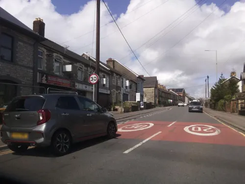
Brunel Arms
Bar and pub · 1.3 mi
Station Approach, Pontyclun
Mo-Th 12:00-23:00; Fr 12:00-00:00; Sa 00:00-00:30,12:00-00:00; Su...
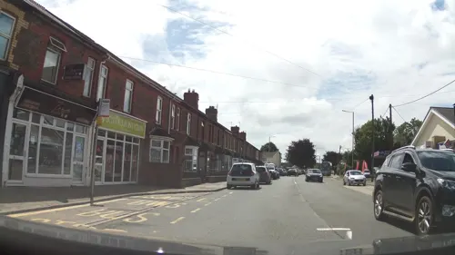
El Cabron Tacos
Restaurant · Mexican · 1.5 mi
Heol Yr Orsaf, Pontyclun
Mo Off; Tu Off; We 11:30-15:00; Th-Sa 09:30-21:00

Miskin Arms
Bar and pub · 1.5 mi
Hensol Road, Bridgend
Mo-Fr 12:00-21:00; Sa 12:00-21:00; Su 12:00-17:30



Cross Inn
Bar and pub · 0.5 mi
Cross Inn Road, Llantrisant
Mo 14:00-24:00; Tu-Su 12:00-24:00
43 more on the map.
Where to stay2

History
There is evidence for settlements in and around Llantrisant stretching back over three millennia. Two Bronze Age burial mounds are on Mynydd Garthmaelwg, the opposite side of the Ely Valley. A 1.05 metres (3 ft 5 in) tall, by 1.68 metres (5 ft 6 in) wide, possibly Bronze Age, standing stone, was discovered in Miskin during excavations prior to the M4 motorway construction. An Iron Age hillfort stands on Rhiwsaeson Hill. The enclosure, now known as Caerau Hillfort, measures 230 metres (750 ft) by 180 metres (590 ft).
A settlement has existed on this site from at least the beginning of the 6th century, when the poet Aneurin wrote of "the white houses of Glamorgan" when referring to Llantrisant. It was seized around 1246 by Richard de Clare, who built Llantrisant Castle. It is thought that de Clare established the borough of Llantrisant.
In 1346, Llantrisant was granted a royal charter months before the archers from the town helped Edward the Black Prince win a victory against the French army at the Battle of Crécy. The Llantrisant longbow men were pivotal in the adoption of the English longbow as the missile weapon of choice for the English crown during the Middle Ages.
Llantrisant was one of the eight boroughs constituting the Glamorgan borough following the Act of Union, a status it held until 1918.
From the History section of Llantrisant on Wikipedia, under CC BY-SA 4.0.
More about Llantrisant
Arts and culture
The ancient tradition of beating the bounds, where local children are bounced by elders on to the boundary stones of the old borough, still occurs every seven years and dates as far back as the 14th century. The rite was intended as a reminder to each generation of the importance of the borough boundaries. The children are held under the arms and the legs, and their backsides are bounced on each of the stones of the old borough. It is believed that the Beating of the Bounds started in 1346, when Llantrisant was awarded its royal charter. This allowed people the freedom to trade without paying tolls within the boundaries of the former borough. The last occasion of this event was in June 2024, and the event is now seen as a purely historic tradition and social community event.
At nearby Tarren Deusant is a spring with unusual petrosomatoglyph carvings of the faces of two saints (1696), but now six are present (Sharp 1979).
The Old Town of Llantrisant has four pubs: the New Inn, the Bear, the Wheatsheaf and the Cross Keys Hotel. Formerly in the Bull Ring was the Rock and Fountain pub, which became the home of the original Llantrisant Workingmen's Club, founded in May 1953 by Seth Morgan, Freeman of Llantrisant.
From the Wikipedia article Llantrisant, under CC BY-SA 4.0.
Notable people from Llantrisant
 Alexander VlahosWelsh actorPhoto: 1=Roger Murmann, CC BY 2.0
 Andrew BishopWelsh rugby union playerPhoto: Caroline Léna Becker, CC BY 3.0
 Cameron WinnettWelsh rugby union playerPhoto: Stefano Delfrate, CC BY-SA 2.0
 Ella Maclean-HowellBritish cross-country mountain bikerPhoto: Hoebele, CC BY-SA 4.0
 Noel RichardsBritish singerPhoto: Nehézy László - www.ezazanap.hu, CC0
 Ben WarrenWelsh rugby union playerPhoto: Bearas, CC BY-SA 4.0
 Sam FisherBritish track cyclistPhoto: Nicola, CC BY-SA 4.0
- Bradley DaviesWelsh rugby union footballer
- Reg ParkerWelsh footballer (1921-1997)
- Morgan HuntFootballer (1931-2012)
- Walter MorganWelsh barrister and judge; active in India
- Sam CostelowWelsh rugby union player
Born in Llantrisant, according to Wikidata (CC0). Each name links to its Wikipedia article.
Churches and places of worship13
Shopping14
Gas and EV charging3
Schools, colleges and libraries12
Healthcare7
Map of Llantrisant
116 places. The map loads OpenStreetMap tiles when you open it.
Getting there and nearby towns
Cardiff Airport (CWL) is the nearest airport with scheduled flights listed in OpenStreetMap, 10 miles away.
- Pontypridd 4 mi north, about 7 min by car
- Whitchurch 7 mi east, about 11 min by car
- Cardiff 9 mi southeast, about 15 min by car
- Rhondda 9 mi north, about 14 min by car
- Nelson 9 mi northeast, about 14 min by car
- Treharris 9 mi north, about 15 min by car
- Mountain Ash 10 mi north, about 16 min by car
- Llantwit Major 10 mi southwest, about 16 min by car
- Penarth 11 mi southeast, about 18 min by car
- Risca 13 mi east, about 20 min by car
Drive times are estimates from straight-line distance, not routes.
Towns near Llantrisant


Keep exploring
Local news
Headlines from INDB.
Reviews, tips and questions
Loading what members have shared...
Sources and licences
- GeoNames (CC BY 4.0): population, coordinates, regions and time zone
- Mapillary (see each image): photos
- OpenStreetMap contributors (ODbL 1.0): places, airports, map data
- Wikidata (CC0 1.0): elevation, founding date, time zone, website, landmarks and historic places
- Wikimedia Commons (see each image): photos
- Wikipedia (CC BY-SA 4.0): overview and history text
Photo credits
- Llantrisant gateway to the Rhondda Valley, Mick Lobb, CC BY-SA 2.0
- Toll House Cottage, Llantrisant, FruitMonkey, CC BY-SA 4.0
- Penuel Presbyterian Church of Wales. Llantrisant, FruitMonkey, CC BY-SA 4.0
- 2 Yr Allt, Llantrisant, FruitMonkey, CC BY-SA 4.0
- Ysgol Gyfun Bryn Celynnog, Beddau, FruitMonkey, CC BY-SA 4.0
- Llantrisant Castle ruins, FruitMonkey ( talk ), CC BY-SA 3.0
- St Davids church, Miskin, FruitMonkey, CC BY-SA 3.0
- Dr William Price - Statue, FruitMonkey, CC BY-SA 3.0
- Ty Cwrdd Meeting House, Thomas Allen Glenn, Public domain
- Former Stable adjoining 2 Yr Allt, Llantisant, FruitMonkey, CC BY-SA 4.0
- Street-level photo, southglos, CC BY-SA 4.0
- Street-level photo, southglos, CC BY-SA 4.0
- Street-level photo, southglos, CC BY-SA 4.0
- Street-level photo, southglos, CC BY-SA 4.0
- Street-level photo, southglos, CC BY-SA 4.0
- Street-level photo, victuallers, CC BY-SA 4.0
- Street-level photo, victuallers, CC BY-SA 4.0
- Street-level photo, victuallers, CC BY-SA 4.0
- Street-level photo, southglos, CC BY-SA 4.0


Page built November 10, 2026. Spotted a mistake? Tell us or suggest a place.