


Why visit Cold Ash
Townapedia lists 21 museums and landmarks, 20 parks and trails, 32 places to eat, 1 place to stay and 4 attractions in and around town.
Highlights include Black Boys Bridge, Corn Exchange, Shaw House and West Berkshire Museum.
Weather in Cold Ash
Forecast from MET Norway (CC BY 4.0). Full forecast
About Cold Ash
Cold Ash is a village and civil parish in West Berkshire centred 1 mile (1.6 km) from Thatcham and 2.5 miles (4 km) northeast of Newbury.
From the Wikipedia article Cold Ash (this version), under CC BY-SA 4.0.
Things to do4
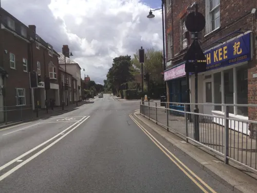

Corn Exchange
Cinema and theater · 3.0 mi
Theatre and cinema in Newbury, England

Newbury Bridge
Bridge · 3.0 mi
Bridge over the River Kennet in Newbury, Berkshire, England, UK

Museums and landmarks21

Shaw House
Museum · 2.4 mi
Grade I listed historic house museum in West Berkshire, England, UK

West Berkshire Museum
Museum · 2.9 mi
Museum in Newbury, Berkshire, England, United Kingdom


Bussock Camp
Monument and historic site · 3.3 mi
Hillfort in West Berkshire, England, UK
Ramsbury Corner
Monument and historic site · 0.8 mi
An iron age hill fort, or what is left of it.
Grimsbury Castle - Main fortifications
Monument and historic site · 1.5 mi
First Women Elected by the public to Thatcham Parish Council
Monument and historic site · 1.5 mi
9 more on the map.
Parks, trails and playgrounds20



Bucklebury Farm Park
Park · 2.7 mi
Animal park located in Berkshire, England
Nature Discovery Centre
Park · 1.7 mi
Nature reserve in Berkshire, England
Snelsmore Common
Park · 3.3 mi
Nature reserve near Newbury, Berkshire
Thatcham Reed Beds
Park · 2.0 mi
Nature reserve in the United Kingdom county of Berkshire
8 more on the map.
Restaurants and cafes32
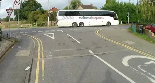
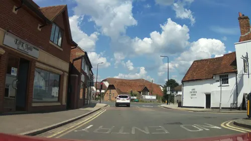
Burgers On The Corner
Restaurant · 1.5 mi
Mo-Th 17:00-19:30; Fr 17:00-20:30; Su 17:00-19:00; Sa 14:00-20:30
Nawab
Restaurant · Indian · 1.5 mi
4 - 5 The Broadway, Thatcham
Tu-Th 12:00-14:30,18:00-23:00; Fr,Sa 12:00-14:30,18:00-23:30; Su...

Costa
Cafe · Coffee Shop · 1.5 mi
Mo-Fr 07:00-18:30; Sa 07:30-18:00; Su 08:30-17:00

20 more on the map.
History
The name Cold Ash dates from the 16th century and is mentioned in a 1549 deed of settlement from John Winchcombe to his third son, Henry. During the English Civil War, troops camped on Cold Ash Common before taking part in the Second Battle of Newbury. The area was largely unpopulated before 1800 and consisted of moorland, the oldest part of the village is believed to be Bucklebury Alley. By the end of the 19th century, there were four principal landowners in Cold Ash and a large number of small tenanted dairy farms. Cold Ash Convalescent Home and Children's hospital was opened by a nurse, Agnes Maria Bowditch, in her home in Cold Ash in 1886. By 1901, the hospital had expanded to accommodate 20 patients and specialised in respiratory illness. The hospital closed in 1964 and was demolished, the cul-de-sac, Sewell Close, was built in its place.
From the History section of Cold Ash on Wikipedia, under CC BY-SA 4.0.
More about Cold Ash
Geography
The village of Cold Ash is situated at about 150 m (490 ft) above sea level, along the top of a ridge, marked by Hermitage Road and The Ridge, which divides the River Pang and River Kennet valleys. Parts of the village to the north and east are within the North Wessex Downs and Cold Ash Quarry is a site of Special Scientific Interest (SSSI).
Education
St Mark's Church of England primary school was built in 1873 next to the church and remained there for some 100 years until it was rebuilt on the other side of the road. The former school building is now a residential property.
Hill House Home for Girls, for 'waifs and strays', opened on The Ridge in 1886, it was renamed St Mary's Home for Girls in 1893 and was an industrial school for girls aged 7–14 years old. The 1891 census records 30 girls living at the home. The home closed in 1946 and the buildings used as a nursery school until 1980. The former home is now divided into private residential properties.
From the Wikipedia article Cold Ash, under CC BY-SA 4.0.
Notable people from Cold Ash
- W. R. A. DawsonBritish Army officer of the First World War
Born in Cold Ash, according to Wikidata (CC0). Each name links to its Wikipedia article.
Where to stay1
Churches and places of worship16
Shopping8
Gas and EV charging2
Schools, colleges and libraries14
Healthcare2
Map of Cold Ash
120 places. The map loads OpenStreetMap tiles when you open it.
Getting there and nearby towns
RAF Benson (BEX) is the nearest airport with scheduled flights listed in OpenStreetMap, 15 miles away.
- Thatcham 1 mi south, about 2 min by car
- Hermitage 2 mi north, about 3 min by car
- Newbury 3 mi southwest, about 5 min by car
- Winterbourne 4 mi northwest, about 6 min by car
- Bradfield 6 mi east, about 10 min by car
- Compton 6 mi north, about 10 min by car
- Upper Basildon 7 mi northeast, about 11 min by car
- Wickham 7 mi west, about 12 min by car
- Tadley 8 mi southeast, about 13 min by car
- Highcoems 8 mi southwest, about 12 min by car
Drive times are estimates from straight-line distance, not routes.
Towns near Cold Ash


Keep exploring
Local news
Headlines from INDB.
Reviews, tips and questions
Loading what members have shared...
Sources and licences
- GeoNames (CC BY 4.0): population, coordinates, regions and time zone
- Mapillary (see each image): photos
- OpenStreetMap contributors (ODbL 1.0): places, airports, map data
- Wikidata (CC0 1.0): elevation, founding date, time zone, website, landmarks and historic places
- Wikimedia Commons (see each image): photos
- Wikipedia (CC BY-SA 4.0): overview and history text
Photo credits
- Shaw House, Berkshire 05, Simon Burchell, CC BY-SA 4.0
- The Granary, Wharf Street, Newbury (1), Tom Bastin from Reading, UK, CC BY 2.0
- Victoria Park - Newbury, Unknown author, CC BY-SA 2.0
- St John the Evangelist, Newbury, Bill Boaden, CC BY-SA 2.0
- St Nicholas, Newbury, Tom Bastin from Reading, UK, CC BY 2.0
- Thatcham Church in winter, Marc Evans from Reading, England, CC BY-SA 2.0
- St Mark's Church, Cold Ash, Berkshire (3931317830), Robert Cutts from Bristol, England, CC BY 2.0
- Audrey's Meadow (1), Dudley Miles, CC BY-SA 4.0
- The Corn Exchange, Newbury, Tom Bastin from Reading, UK, CC BY 2.0
- Newbury Bridge - panoramio, mattgirling, CC BY-SA 3.0
- Grimsbury Castle Folly - Gamekeepers Cottage, OneJus, CC BY-SA 4.0
- Street-level photo, jpennycook, CC BY-SA 4.0
- Street-level photo, southglos, CC BY-SA 4.0
- Street-level photo, jpennycook, CC BY-SA 4.0
- Street-level photo, southglos, CC BY-SA 4.0
- Street-level photo, southglos, CC BY-SA 4.0
- Street-level photo, southglos, CC BY-SA 4.0
- Street-level photo, jpennycook, CC BY-SA 4.0
- Street-level photo, southglos, CC BY-SA 4.0
- Street-level photo, jpennycook, CC BY-SA 4.0
- Street-level photo, jpennycook, CC BY-SA 4.0
- Street-level photo, southglos, CC BY-SA 4.0
- Street-level photo, jpennycook, CC BY-SA 4.0
- Street-level photo, southglos, CC BY-SA 4.0
- Street-level photo, 4004, CC BY-SA 4.0
- Street-level photo, southglos, CC BY-SA 4.0
- Street-level photo, southglos, CC BY-SA 4.0
- Street-level photo, southglos, CC BY-SA 4.0
- Street-level photo, jpennycook, CC BY-SA 4.0
- Street-level photo, jpennycook, CC BY-SA 4.0
- Street-level photo, southglos, CC BY-SA 4.0

Page built November 10, 2026. Spotted a mistake? Tell us or suggest a place.