




Upper Basildon, United Kingdom
Upper Basildon is a town of 1,405 people in England, United Kingdom.
Why visit Upper Basildon
Townapedia lists 2 museums and landmarks, 3 parks and trails, 1 place to eat, 1 place to stay and 3 attractions in and around town.
Highlights include Gatehampton Railway Bridge, Goring and Streatley Bridge, Basildon Park and Hartslock.
Weather in Upper Basildon
Forecast from MET Norway (CC BY 4.0). Full forecast
About Upper Basildon
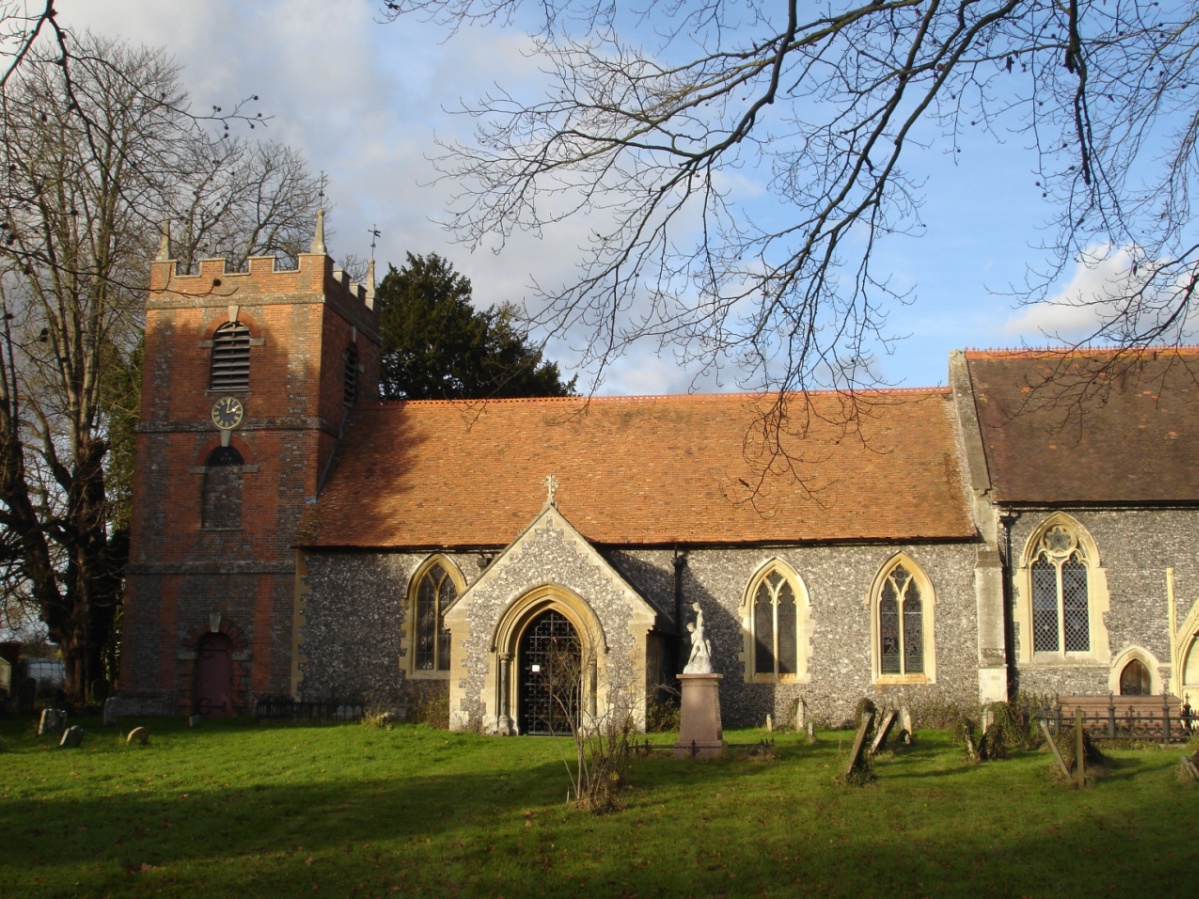
Upper Basildon is a small village in the civil parish of Basildon (where the United Kingdom 2011 Census population is included), near to Pangbourne, in the English county of Berkshire. It has a church, dedicated to St. Stephen, built in 1964 in the shape of the Christian secret symbol of a fish. Basildon Church of England Primary School is located in School Lane.
From the Wikipedia article Upper Basildon (this version), under CC BY-SA 4.0.
Photos of Upper Basildon

Things to do3

Gatehampton Railway Bridge
Bridge · 2.1 mi
Railway bridge in Lower Basildon, Berkshire, England, UK


Whitchurch Bridge
Bridge · 2.4 mi
Bridge between West Berkshire and South Oxfordshire, England,UK
Museums and landmarks2

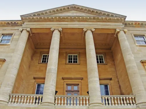
Basildon Park
Museum · 1.5 mi
Grade I listed historic house museum in West Berkshire, England, UK

Parks, trails and playgrounds3

Hartslock
Park · 2.4 mi
Wood and nature reserve by the Thames in south Oxfordshire, UK

Restaurants and cafes1
History
Nobes' Tomb (or mausoleum) is located near Tomb Farm in Upper Basildon. It is now a ruin, but was regarded at one stage as being cursed, with any man who destroyed Nobes' grave being cursed. In the early 20th century, the expression "There goes Nobes on his white horse!" was commonly used. A second ghost is Nan Carey, who haunts Nan Carey's Hill, a cross roads at Upper Basildon.
In old times, Basildon Revel was held from the 20th–25th July on Upper Basildon Green.
From the History section of Upper Basildon on Wikipedia, under CC BY-SA 4.0.
Where to stay1
Churches and places of worship3
Schools, colleges and libraries3
Map of Upper Basildon
16 places. The map loads OpenStreetMap tiles when you open it.
Getting there and nearby towns
RAF Benson (BEX) is the nearest airport with scheduled flights listed in OpenStreetMap, 9 miles away.
- Bradfield 2 mi south, about 4 min by car
- Streatley 3 mi north, about 5 min by car
- Compton 5 mi northwest, about 9 min by car
- Thatcham 7 mi southwest, about 12 min by car
- Blewbury 7 mi northwest, about 12 min by car
- Reading 8 mi east, about 12 min by car
- Wallingford 8 mi north, about 13 min by car
- Rotherfield Peppard 8 mi northeast, about 12 min by car
- Tadley 9 mi south, about 15 min by car
- Newbury 10 mi southwest, about 16 min by car
Drive times are estimates from straight-line distance, not routes.
Towns near Upper Basildon


Keep exploring
Local news
Headlines from INDB.
Reviews, tips and questions
Loading what members have shared...
Sources and licences
- GeoNames (CC BY 4.0): population, coordinates, regions and time zone
- Mapillary (see each image): photos
- OpenStreetMap contributors (ODbL 1.0): places, airports, map data
- Wikidata (CC0 1.0): elevation, founding date, time zone, website, landmarks and historic places
- Wikimedia Commons (see each image): photos
- Wikipedia (CC BY-SA 4.0): overview and history text
Photo credits
- 2008-05 Gatehampton Railway Bridge, Nancy, CC BY-SA 3.0
- GoringBridge01, Motmit, CC BY-SA 3.0
- Basildon House. - panoramio, grumpylumixuser, CC BY 3.0
- St Bartholomew's Church, Lower Basildon, MalcolmGould at English Wikipedia, CC BY-SA 3.0
- Hartslock 03, Chris j wood, CC BY-SA 4.0
- Drawing of a mother and child by Pablo O'Higgins, Pablo O'Higgins, CC0
- Drawing of a man carrying agave leaves by Pablo O'Higgins, Pablo O'Higgins, CC0
- Uk-whitchurch-bridge, The original uploader was Chris j wood at English Wikipedia ., CC BY-SA 4.0
- Street-level photo, coljay72, CC BY-SA 4.0
Page built November 10, 2026. Spotted a mistake? Tell us or suggest a place.