


Why visit Compton
Townapedia lists 2 museums and landmarks, 2 parks and trails, 5 places to eat and 1 attraction in and around town.
Highlights include Lowbury Hill, Perborough Castle and The Living Rainforest.
Weather in Compton
Forecast from MET Norway (CC BY 4.0). Full forecast
About Compton
Compton is a village and civil parish in the River Pang valley in the Berkshire Downs about 6 miles (9.7 km) south of Didcot.
From the Wikipedia article Compton, Berkshire (this version), under CC BY-SA 4.0.
Things to do1

Museums and landmarks2


Perborough Castle
Monument and historic site · 1.1 mi
Hillfort in West Berkshire, England, UK
Parks, trails and playgrounds2


Restaurants and cafes5

More about Compton
Geography
Compton is buffered from neighbouring settlements by cultivated fields to all sides. The village is in a gently sloped dry valley and the fledgling Pang seasonally enters from the north west and discharges in the south east and may be joined at the centre of the village by the Roden from the north, when winter bournes rise to fill their channels. Elevations vary from 95 to 155 m (312 to 509 ft) AOD. Compton has a site of Special Scientific Interest (SSSI) just to the south west of the village, called Ashridge Wood.
Education
The academically successful The Downs School local authority secondary school is in Compton. In the 21st century its new science building was named The Hubble after American astro-physicist Edwin Hubble. Compton Church of England Primary School is located on School Road. The school emblem is a stag.
One section of the Institute for Animal Health, now the Pirbright Institute was at Compton, along with the Edward Jenner Institute for Vaccine Research.
In 2006 Compton became the founding place of a chemical manufacturing company called Carbosynth. Since 2019, it has merged with Swiss company Biosynth AG within the fine chemical industry and now operates under the name Biosynth®.
From the Wikipedia article Compton, Berkshire, under CC BY-SA 4.0.
Notable people from Compton
- Nassau William SeniorBritish lawyer and economist (1790-1864)
- Francis Knappscholar, b. in England in 1672; d. after 1715
Born in Compton, according to Wikidata (CC0). Each name links to its Wikipedia article.
Churches and places of worship4
Schools, colleges and libraries4
Map of Compton
18 places. The map loads OpenStreetMap tiles when you open it.
Getting there and nearby towns
RAF Benson (BEX) is the nearest airport with scheduled flights listed in OpenStreetMap, 10 miles away.
- Streatley 5 mi east, about 7 min by car
- Didcot 6 mi north, about 10 min by car
- Thatcham 8 mi south, about 12 min by car
- Newbury 8 mi south, about 14 min by car
- Wallingford 8 mi northeast, about 13 min by car
- Steventon 8 mi north, about 13 min by car
- Wantage 9 mi northwest, about 14 min by car
- Abingdon 11 mi north, about 17 min by car
- Reading 13 mi east, about 21 min by car
- Tadley 13 mi southeast, about 20 min by car
Drive times are estimates from straight-line distance, not routes.
Towns near Compton


Keep exploring
Local news
Headlines from INDB.
Reviews, tips and questions
Loading what members have shared...
Sources and licences
- GeoNames (CC BY 4.0): population, coordinates, regions and time zone
- Mapillary (see each image): photos
- OpenStreetMap contributors (ODbL 1.0): places, airports, map data
- Wikidata (CC0 1.0): elevation, founding date, time zone, website, landmarks and historic places
- Wikimedia Commons (see each image): photos
- Wikipedia (CC BY-SA 4.0): overview and history text
Photo credits
- Compton Swan pub, Berkshire 01, Simon Burchell, CC BY-SA 4.0
- Compton Swan pub, Berkshire 02, Simon Burchell, CC BY-SA 4.0
- Cheseridge Road, Compton, Berkshire, Simon Burchell, CC BY-SA 4.0
- AmazonicaTLR1, Tsl09, CC BY-SA 4.0
- East Ilsley Church, Rob Stallard, CC BY-SA 3.0
- Aldworth Church, Philip Hind, CC BY 2.0
- Roman temple site, Lowbury Hill, Oxfordshire 04, Simon Burchell, CC BY-SA 4.0
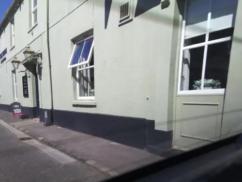
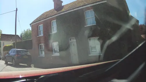
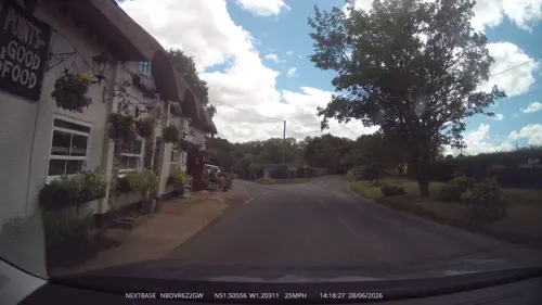
- Street-level photo, southglos, CC BY-SA 4.0
- Street-level photo, southglos, CC BY-SA 4.0
- Street-level photo, southglos, CC BY-SA 4.0
- Street-level photo, swinetown, CC BY-SA 4.0
Page built November 10, 2026. Spotted a mistake? Tell us or suggest a place.