
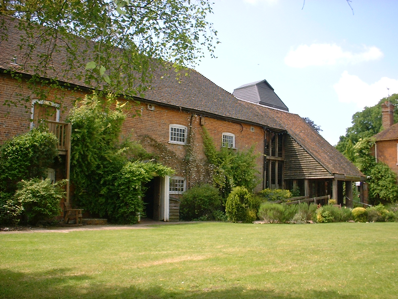


Winterbourne, United Kingdom
Winterbourne is a town of 2,168 people in England, United Kingdom.
Why visit Winterbourne
Townapedia lists 4 museums and landmarks, 7 parks and trails, 8 places to eat and 4 attractions in and around town.
Highlights include Corn Exchange, Newbury Bridge, Shaw House and West Berkshire Museum.
Weather in Winterbourne
Forecast from MET Norway (CC BY 4.0). Full forecast
About Winterbourne
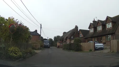
Winterbourne is a village and civil parish in the Berkshire Downs about 3 miles (5 km) north of Newbury in West Berkshire.
From the Wikipedia article Winterbourne, Berkshire (this version), under CC BY-SA 4.0.
Things to do4

Corn Exchange
Cinema and theater · 3.3 mi
Theatre and cinema in Newbury, England

Newbury Bridge
Bridge · 3.2 mi
Bridge over the River Kennet in Newbury, Berkshire, England, UK

Watermill Theatre
Cinema and theater · 1.7 mi
Theatre in Bagnor near Newbury, Berkshire, England, UK

Museums and landmarks4

Shaw House
Museum · 2.7 mi
Grade I listed historic house museum in West Berkshire, England, UK

West Berkshire Museum
Museum · 3.3 mi
Museum in Newbury, Berkshire, England, United Kingdom

Bussock Camp
Monument and historic site · 0.8 mi
Hillfort in West Berkshire, England, UK
Parks, trails and playgrounds7




Snelsmore Common
Park · 0.8 mi
Nature reserve near Newbury, Berkshire

Restaurants and cafes8


History
Borough Hill nearby was settled by Early Saxons in the Iron Age. Romans camped on Bussock Hill, and left a double vallum and ditch around their camp. The Vicinal Way, which was a branch of the old Roman way Ermyn Street, ran through Winterbourne past the camp.
Winterbourne was mentioned in 951 when the bounds of Chieveley were defined at the time when King Edmund's brother Edred gave it to Wulf or Wulfric, his bailiff.
In 1156, Nicholas, son of Turold os Estuna gave land for a churchyard in Winterbourne.
In August 1552 during the plundering of churches under Edward VI, records show that "one cope of satin of Bruge and one frontlet for the hie Altar of braunched damask" were stolen.
In the early 20th century, there remained a historic tradition of a Rogation Day procession for the blessing of the fields.
From the History section of Winterbourne, Berkshire on Wikipedia, under CC BY-SA 4.0.
More about Winterbourne
Geography
Winterbourne has a site of Special Scientific Interest (SSSI), called Winterbourne Chalk Pit and another on its western border called Snelsmore Common
From the Wikipedia article Winterbourne, Berkshire, under CC BY-SA 4.0.
Churches and places of worship2
Schools, colleges and libraries1
Map of Winterbourne
26 places. The map loads OpenStreetMap tiles when you open it.
Getting there and nearby towns
RAF Benson (BEX) is the nearest airport with scheduled flights listed in OpenStreetMap, 16 miles away.
- Newbury 3 mi south, about 5 min by car
- Thatcham 5 mi southeast, about 8 min by car
- Compton 6 mi northeast, about 10 min by car
- Upper Basildon 9 mi east, about 15 min by car
- Bradfield 9 mi east, about 15 min by car
- Wantage 10 mi north, about 17 min by car
- Blewbury 10 mi northeast, about 16 min by car
- Streatley 10 mi northeast, about 16 min by car
- Tadley 11 mi southeast, about 18 min by car
- Didcot 12 mi north, about 20 min by car
Drive times are estimates from straight-line distance, not routes.
Towns near Winterbourne


Keep exploring
Local news
Headlines from INDB.
Reviews, tips and questions
Loading what members have shared...
Sources and licences
- GeoNames (CC BY 4.0): population, coordinates, regions and time zone
- Mapillary (see each image): photos
- OpenStreetMap contributors (ODbL 1.0): places, airports, map data
- Wikidata (CC0 1.0): elevation, founding date, time zone, website, landmarks and historic places
- Wikimedia Commons (see each image): photos
- Wikipedia (CC BY-SA 4.0): overview and history text
Photo credits
- Watermill Theatre, Bagnor, Sheps at English Wikipedia, Public domain
- Shaw House, Berkshire 05, Simon Burchell, CC BY-SA 4.0
- The Granary, Wharf Street, Newbury (1), Tom Bastin from Reading, UK, CC BY 2.0
- Victoria Park - Newbury, Unknown author, CC BY-SA 2.0
- St Nicholas, Newbury, Tom Bastin from Reading, UK, CC BY 2.0
- Sole Common Pond-by-Des-Blenkinsopp, Des Blenkinsopp, CC BY-SA 2.0
- The Corn Exchange, Newbury, Tom Bastin from Reading, UK, CC BY 2.0
- Newbury Bridge - panoramio, mattgirling, CC BY-SA 3.0
- Aerial view of Rack Marsh, Bagnor, Matthew Prior, CC BY-SA 4.0
- Street-level photo, swinetown, CC BY-SA 4.0
- Street-level photo, southglos, CC BY-SA 4.0
- Street-level photo, southglos, CC BY-SA 4.0
- Street-level photo, southglos, CC BY-SA 4.0
Page built November 10, 2026. Spotted a mistake? Tell us or suggest a place.