


Why visit Coven
Townapedia lists 3 museums and landmarks, 1 park or trail, 9 places to eat and 1 place to stay in and around town.
Highlights include Chillington Hall, Moseley Old Hall and Three Hammers Golf Complex.
Weather in Coven
Forecast from MET Norway (CC BY 4.0). Full forecast
About Coven
Coven is a village in the district of South Staffordshire, England, near the border with Wolverhampton. Together with Brewood it forms part of the parish of Brewood & Coven.
From the Wikipedia article Coven, Staffordshire (this version), under CC BY-SA 4.0.
Museums and landmarks3

Chillington Hall
Museum · 2.8 mi
Grade I listed historic house museum in South Staffordshire, England, UK

Moseley Old Hall
Museum · 1.9 mi
Historic house and museum in Featherstone, Staffordshire, England, UK
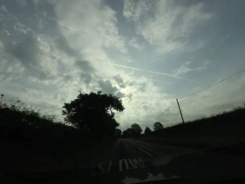
Pennocrucium
Monument and historic site · 2.7 mi
Archaeological site in Penkridge, South Staffordshire, England, UK
Parks, trails and playgrounds1

Restaurants and cafes9




Where to stay1

History
The first record of Coven (as Cove) is in the Domesday Book of 1086; when it was listed as being held by William de Stafford. Prior to the Norman Conquest it was held by the Saxon ceorl Alric.
Iron-making was carried on at a furnace and two forges near to the village from the seventeenth century or earlier. 'The Homage' (circa 1679) is said to be the oldest brick-built house in Staffordshire. During the nineteenth century, John Smith operated a foundry in the village, where he produced stationary steam engines and locomotives.
From the History section of Coven, Staffordshire on Wikipedia, under CC BY-SA 4.0.
Notable people from Coven
- Ryan PriceEnglish footballer (born 1970)
Born in Coven, according to Wikidata (CC0). Each name links to its Wikipedia article.
Churches and places of worship5
Gas and EV charging1
Schools, colleges and libraries2
Healthcare1
Map of Coven
23 places. The map loads OpenStreetMap tiles when you open it.
Getting there and nearby towns
Birmingham Airport (BHX) is the nearest airport with scheduled flights listed in OpenStreetMap, 22 miles away.
- Featherstone 2 mi southeast, about 3 min by car
- Brewood 2 mi northwest, about 4 min by car
- Codsall 3 mi southwest, about 5 min by car
- Wolverhampton 5 mi south, about 8 min by car
- Wednesfield 5 mi southeast, about 7 min by car
- Cannock 5 mi northeast, about 8 min by car
- Great Wyrley 5 mi east, about 8 min by car
- Wheaton Aston 5 mi northwest, about 8 min by car
- Willenhall 6 mi southeast, about 9 min by car
- Bloxwich 6 mi southeast, about 10 min by car
Drive times are estimates from straight-line distance, not routes.
Towns near Coven


Keep exploring
Local news
Headlines from INDB.
Reviews, tips and questions
Loading what members have shared...
Sources and licences
- GeoNames (CC BY 4.0): population, coordinates, regions and time zone
- Mapillary (see each image): photos
- OpenStreetMap contributors (ODbL 1.0): places, airports, map data
- Wikidata (CC0 1.0): elevation, founding date, time zone, website, landmarks and historic places
- Wikimedia Commons (see each image): photos
- Wikipedia (CC BY-SA 4.0): overview and history text
Photo credits
- Coven - Methodist church 01, Sjwells53, CC BY-SA 3.0
- Chillington Hall (2), Philip Halling, CC BY-SA 2.0
- Moseley Old Hall 2015 003, Photograph by Mike Peel ( www.mikepeel.net )., CC BY-SA 4.0
- Brewood CE Church, Original uploader was Oosoom at en.wikipedia, CC BY-SA 3.0
- Brewood and Coven - Roman Catholic Church of St Mary - 20230826095407, Rodw, CC BY-SA 4.0
- Coven - St Pauls church exterior 01, Sjwells53, CC BY-SA 3.0
- St Nicholas' Church, Codsall, Stephen McKay, CC BY-SA 2.0
- Street-level photo, tallguy, CC BY-SA 4.0
- Street-level photo, southglos, CC BY-SA 4.0
- Street-level photo, adam2, CC BY-SA 4.0
- Street-level photo, adam2, CC BY-SA 4.0
- Street-level photo, southglos, CC BY-SA 4.0
- Street-level photo, edloach, CC BY-SA 4.0

Page built November 10, 2026. Spotted a mistake? Tell us or suggest a place.