


Featherstone, United Kingdom
Featherstone is a town of 14,175 people in England, United Kingdom.
Why visit Featherstone
Townapedia lists 2 museums and landmarks, 5 parks and trails, 16 places to eat, 1 place to stay and 1 attraction in and around town.
Highlights include Moseley Old Hall, Sikh Regiment Memorial, Greenfield Golf Club and Three Hammers Golf Complex.
Weather in Featherstone
Forecast from MET Norway (CC BY 4.0). Full forecast
About Featherstone
Featherstone is a village in the district of South Staffordshire in Staffordshire England. It is near to the border with Wolverhampton.
From the Wikipedia article Featherstone, Staffordshire (this version), under CC BY-SA 4.0.
Things to do1

Museums and landmarks2

Moseley Old Hall
Monument and historic site · 0.6 mi
Historic house and museum in Featherstone, Staffordshire, England, UK
Moseley Old Hall Lane, Fordhouses

Sikh Regiment Memorial
Monument and historic site · 3.2 mi
2021 statue in Wolverhampton, England
Parks, trails and playgrounds5




Restaurants and cafes16
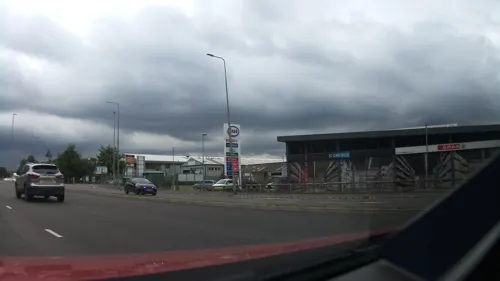
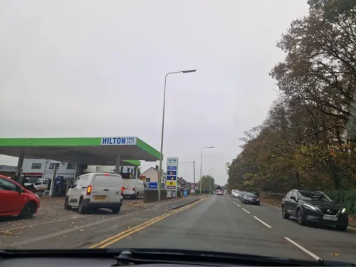
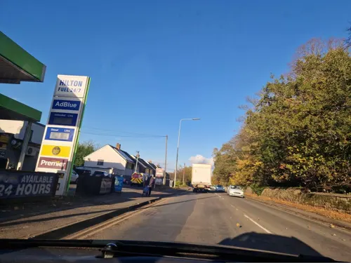
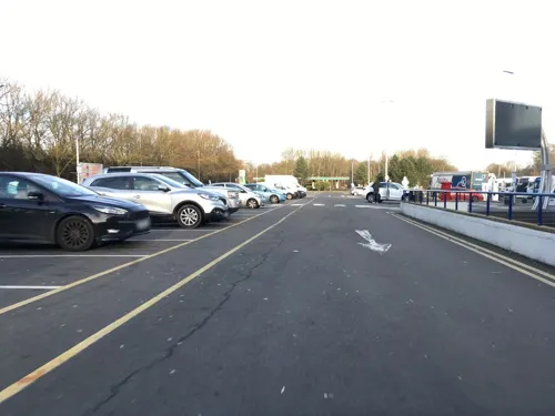




4 more on the map.
History
Originally a farming community consisting of a few scattered farms, it is mentioned in the Domesday Book of 1086 and was owned by the clergy of Wolverhampton Church. It is possible that the population numbers were fairly static until the opening of a new mine, Hilton Main, in the 1920s, it closed in 1969.
The Duke of Cleveland was lord of the manor of this small township of 550 acres and just 34 souls in 1851. This was once the residence of John Huntbach, the noted antiquary. The principal inhabitants were Joshua Price and Edward Tunycliffe, farmers, John Perry the lock manufacturer and Thomas Hill a vermin killer.
The village's population at the time of the 1851 census was 35. By 1921 this had risen to 39. By the time of the 2001 census it was 3,948.
From the History section of Featherstone, Staffordshire on Wikipedia, under CC BY-SA 4.0.
Notable people from Featherstone
- Andy ThompsonEnglish footballer (born 1967)
Born in Featherstone, according to Wikidata (CC0). Each name links to its Wikipedia article.
Where to stay1
Churches and places of worship11
Shopping1
Gas and EV charging6
Schools, colleges and libraries3
Map of Featherstone
46 places. The map loads OpenStreetMap tiles when you open it.
Getting there and nearby towns
Birmingham Airport (BHX) is the nearest airport with scheduled flights listed in OpenStreetMap, 20 miles away.
- Great Wyrley 4 mi east, about 6 min by car
- Wolverhampton 4 mi south, about 7 min by car
- Codsall 5 mi west, about 7 min by car
- Pelsall 5 mi east, about 9 min by car
- Walsall 6 mi southeast, about 10 min by car
- Brownhills 7 mi east, about 11 min by car
- Wednesbury 7 mi southeast, about 11 min by car
- Burntwood 7 mi east, about 12 min by car
- Aldridge 8 mi east, about 13 min by car
- Wombourne 9 mi southwest, about 14 min by car
Drive times are estimates from straight-line distance, not routes.
Towns near Featherstone


Keep exploring
Local news
Headlines from INDB.
Reviews, tips and questions
Loading what members have shared...
Sources and licences
- GeoNames (CC BY 4.0): population, coordinates, regions and time zone
- Mapillary (see each image): photos
- OpenStreetMap contributors (ODbL 1.0): places, airports, map data
- Wikidata (CC0 1.0): elevation, founding date, time zone, website, landmarks and historic places
- Wikimedia Commons (see each image): photos
- Wikipedia (CC BY-SA 4.0): overview and history text
Photo credits
- Featherstone Farm, Mick Malpass, CC BY-SA 2.0
- Moseley Old Hall 2015 003, Photograph by Mike Peel ( www.mikepeel.net )., CC BY-SA 4.0
- Saragarhi Memorial, Wednesfield (53259285121), Elliott Brown from Birmingham, United Kingdom, CC BY-SA 2.0
- Holy Trinity Church Heath Town, John Goldring, CC BY-SA 3.0
- Wolverhampton Wednesfield St Thomas, Brianboru100, CC BY-SA 4.0
- Moseley Old Hall - Knot Garden & View of Building, TomWG00, CC BY-SA 4.0
- Street-level photo, southglos, CC BY-SA 4.0
- Street-level photo, adam2, CC BY-SA 4.0
- Street-level photo, edloach, CC BY-SA 4.0
- Street-level photo, edloach, CC BY-SA 4.0
- Street-level photo, southglos, CC BY-SA 4.0
- Street-level photo, southglos, CC BY-SA 4.0
- Street-level photo, edloach, CC BY-SA 4.0
- Street-level photo, edloach, CC BY-SA 4.0
- Street-level photo, edloach, CC BY-SA 4.0
- Street-level photo, trigpoint, CC BY-SA 4.0
- Street-level photo, edloach, CC BY-SA 4.0
- Street-level photo, edloach, CC BY-SA 4.0
Page built November 10, 2026. Spotted a mistake? Tell us or suggest a place.