


Why visit Warnham
Townapedia lists 24 museums and landmarks, 27 parks and trails, 135 places to eat, 7 places to stay and 3 attractions in and around town.
Highlights include Capitol Horsham, Everyman, Horsham Museum and The Capitol.
Weather in Warnham
Forecast from MET Norway (CC BY 4.0). Full forecast
About Warnham
Warnham is a village and civil parish in the Horsham district of West Sussex, England. The village is centred 2 miles (3.2 km) north-northwest of Horsham, 31 miles (50 km) from London, to the west of the A24 road. The parish is in the north-west of the Weald.
From the Wikipedia article Warnham (this version), under CC BY-SA 4.0.
Things to do3

Capitol Horsham
Cinema and theater · 2.2 mi
Arts centre in Horsham, England
Museums and landmarks24


Horsham Museum and Art Gallery
Museum · 2.2 mi
Museum in Horsham, West Sussex, England, UK

Alfoldean Roman site
Monument and historic site · 2.5 mi
Archaeological site in Slinfold, Horsham, England, UK
Sedgwick Castle
Monument and historic site · 4.4 mi
Castle in Sedgwick, England

12 more on the map.
Parks, trails and playgrounds27
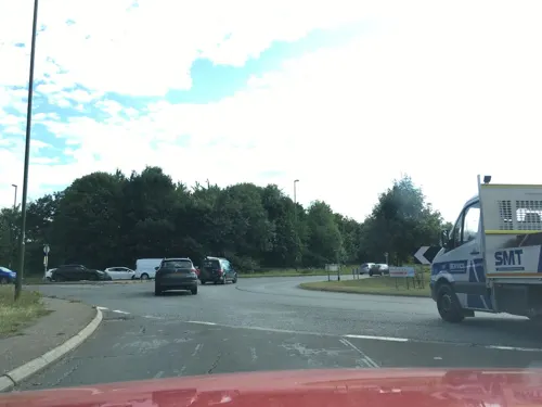



Warnham Local Nature Reserve
Hiking and trails · 1.0 mi
Apr-Sep 10:00-17:00; Oct-Mar 10:00-16:00; Dec 25 off; Dec 26 off

15 more on the map.
Restaurants and cafes135
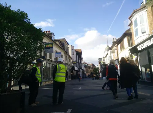
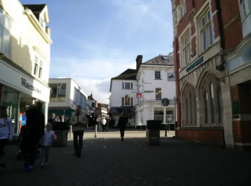
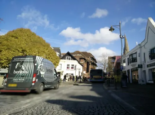
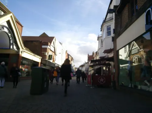
Caffè Nero
Cafe · Coffee Shop · 2.1 mi
50 West Street, Horsham
Mo-Fr 07:00-18:00; Sa 07:30-18:00; Su 08:30-17:30
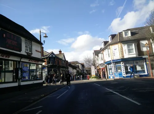
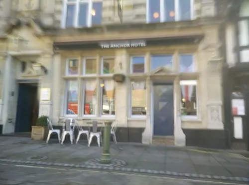
FELIX Bistro
Restaurant · European, Asian, Middle Eastern · 2.2 mi
5 Market Square, Horsham
Tu 17:00-21:00; We-Sa 12:00-15:00,17:00-21:00
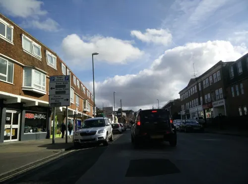
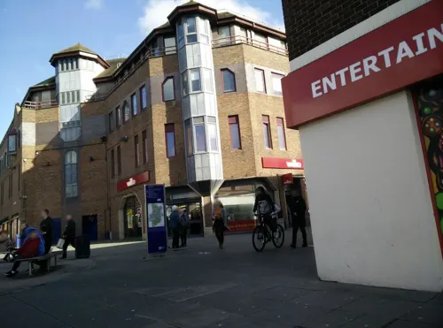

The Shish
Restaurant · Turkish · 2.4 mi
8 Queen Street, Horsham
Mo-Th 16:00-22:30; Fr-Sa 13:00-22:30; Su 13:00-21:00


123 more on the map.
History
The Anglican parish church, dedicated to St Margaret was built in the 14th century, but contains later additions. St Margaret's contains monuments belonging to at least three influential families: the Durford, the Lucas and the Shelley family.
From the History section of Warnham on Wikipedia, under CC BY-SA 4.0.
More about Warnham
Geography
Named settlements within the parish include the hamlets of Goosegreen, Kingsfold and Winterfold as well as parts of Strood Green and Rowhook. The area is in the north-west of the Weald, a sloped remnant forest in south-east England and largely a plain by erosion.
The parish land area is 1980 hectares (4892 acres). In the 2001 census 1958 people lived in 784 households, of whom 935 were economically active. At the 2011 Census the population was 2,068.
Formerly Hollands Manor, Warnham Court built in ashlar was built for Henry Tredcroft in 1828. Warnham Court School until August 1996 occupied the building, set in the listed Warnham Park immediately southeast of the village, with extensions and outbuildings by architect Arthur William Blomfield and his son Sir Arthur Blomfield.
The park grounds were laid out from the early 1830s, developed in the mid- and late 19th century by the landscape designer Henry, and later with a pinetum by Harry J. Veitch. Extended with a wild garden in the early 20th century, the gardens are surrounded by a 19th-century park.
The early 19th-century poet and Romanticist Percy Bysshe Shelley, husband of Mary Shelley was born at Grade I listed Field Place, a broad-fronted country house set on an estate/working farm, and was baptised there in 1792. A cousin was Thomas Medwin.
From the Wikipedia article Warnham, under CC BY-SA 4.0.
Notable people from Warnham
 George Cox, Sr.cricketer (1873-1949)Photo: George Beldam, Public domain
- Joan EardleyScottish artist (1921-1963)
- George Cox, Jr.English cricketer and footballer (1911-1985)
Born in Warnham, according to Wikidata (CC0). Each name links to its Wikipedia article.
Where to stay7
Churches and places of worship32
Hope Strict Baptist Chapel
Church · Baptist · 2.4 mi
Clarence Road, Horsham
Shopping36
Gas and EV charging4
Schools, colleges and libraries22
St Robert Southwell Catholic Primary School
School · Roman Catholic · 2.4 mi
Lambs Farm Road, Horsham
Healthcare10
Map of Warnham
250 places. The map loads OpenStreetMap tiles when you open it.
Getting there and nearby towns
London Gatwick Airport (LGW) is the nearest airport with scheduled flights listed in OpenStreetMap, 8 miles away.
- Horsham 2 mi southeast, about 3 min by car
- Broadfield 6 mi east, about 10 min by car
- Crawley 7 mi east, about 12 min by car
- Cranleigh 7 mi northwest, about 11 min by car
- Handcross 7 mi east, about 11 min by car
- Dorking 10 mi north, about 16 min by car
- Horley 10 mi northeast, about 16 min by car
- Reigate 12 mi northeast, about 19 min by car
- Haywards Heath 12 mi southeast, about 20 min by car
- Redhill 13 mi northeast, about 21 min by car
Drive times are estimates from straight-line distance, not routes.
Towns near Warnham


Keep exploring
Local news
Headlines from INDB.
Reviews, tips and questions
Loading what members have shared...
Sources and licences
- GeoNames (CC BY 4.0): population, coordinates, regions and time zone
- Mapillary (see each image): photos
- OpenStreetMap contributors (ODbL 1.0): places, airports, map data
- Wikidata (CC0 1.0): elevation, founding date, time zone, website, landmarks and historic places
- Wikimedia Commons (see each image): photos
- Wikipedia (CC BY-SA 4.0): overview and history text
Photo credits
- Holy Trinity Rudgwick - from the north west, Martinking73, CC BY-SA 3.0
- Horsham Unitarian Church, Worthing Road, Horsham (IoE Code 298204), The Voice of Hassocks, CC0
- Horsham - museum 01, Whn64, CC BY-SA 3.0
- All Saints Church, Roffey, The Voice of Hassocks, Public domain
- Hope Strict Baptist Chapel, Oakhill Road, Horsham, The Voice of Hassocks, CC0
- Farlington school, Thestationmaster, CC BY-SA 4.0
- Madina Mosque (Formerly Jireh Independent Chapel), Park Terrace East, Horsham, The Voice of Hassocks, CC0
- Appleyards Bible Church, 72 Brighton Road, Horsham (April 2018) (4), User:Hassocks5489, CC0
- St Mark's Church, North Heath Lane, North Heath, Horsham (April 2018) (10), User:Hassocks5489, CC0
- The Capitol theatre and cinema, Horsham, West Sussex, England, Acabashi, CC BY-SA 4.0
- Street-level photo, matt_ellery, CC BY-SA 4.0
- Street-level photo, matt_ellery, CC BY-SA 4.0
- Street-level photo, matt_ellery, CC BY-SA 4.0
- Street-level photo, matt_ellery, CC BY-SA 4.0
- Street-level photo, matt_ellery, CC BY-SA 4.0
- Street-level photo, matt_ellery, CC BY-SA 4.0
- Street-level photo, matt_ellery, CC BY-SA 4.0
- Street-level photo, matt_ellery, CC BY-SA 4.0
- Street-level photo, matt_ellery, CC BY-SA 4.0
- Street-level photo, matt_ellery, CC BY-SA 4.0
- Street-level photo, matt_ellery, CC BY-SA 4.0
- Street-level photo, matt_ellery, CC BY-SA 4.0
- Street-level photo, matt_ellery, CC BY-SA 4.0
- Street-level photo, matt_ellery, CC BY-SA 4.0
- Street-level photo, southglos, CC BY-SA 4.0
- Street-level photo, matt_ellery, CC BY-SA 4.0
- Street-level photo, matt_ellery, CC BY-SA 4.0
- Street-level photo, matt_ellery, CC BY-SA 4.0
- Street-level photo, matt_ellery, CC BY-SA 4.0


Page built November 10, 2026. Spotted a mistake? Tell us or suggest a place.