


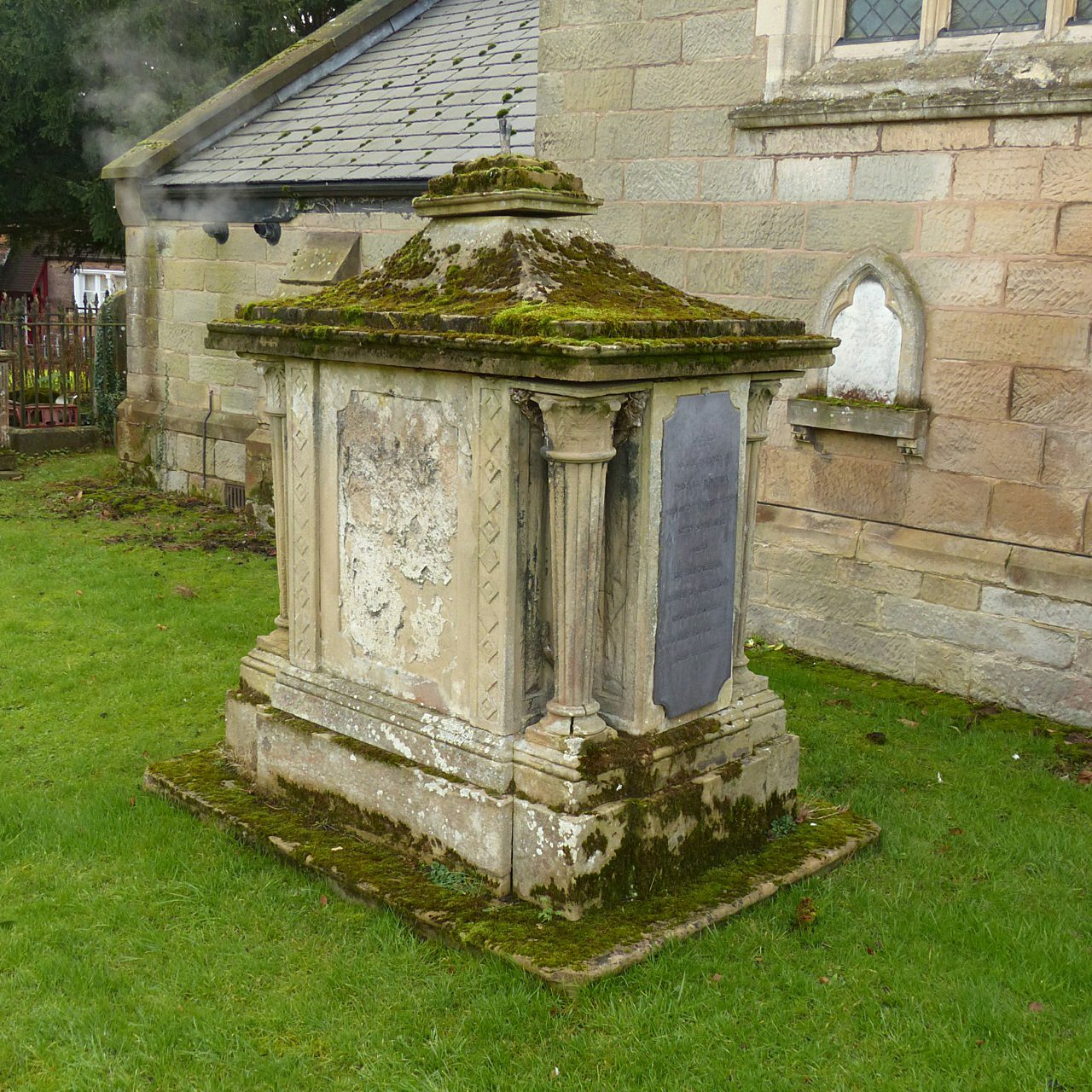

Cropwell Bishop, United Kingdom
Cropwell Bishop is a town of 1,853 people in England, United Kingdom.
Why visit Cropwell Bishop
Townapedia lists 2 museums and landmarks and 4 places to eat in and around town.
Highlights include St Mary's Church.
Weather in Cropwell Bishop
Forecast from MET Norway (CC BY 4.0). Full forecast
About Cropwell Bishop
Cropwell Bishop is a village and civil parish in the borough of Rushcliffe in Nottinghamshire. The population taken at the 2011 census was 1,853; this fell to 1,799 at the 2021 census. The village has one of a select six creameries that produce Stilton cheese.
From the Wikipedia article Cropwell Bishop (this version), under CC BY-SA 4.0.
Museums and landmarks2

Restaurants and cafes4


Churches and places of worship14

All Saints' Church, Cotgrave
Church · 2.5 mi
Grade I listed church in Cotgrave, Rushcliffe, Nottinghamshire, England, UK

Church of St Margaret, Owlthorpe
Church · 1.6 mi
Church in Owthorpe, Nottinghamshire, England, UK

Church of St. Mary and All Saints, Bingham
Church · 3.0 mi
Grade I listed church in Bingham, Nottinghamshire, England, UK
St Mary's Church, Radcliffe on Trent
Church · 3.2 mi
Grade II listed church in Radcliffe-on-Trent, Rushcliffe, Nottinghamshire, England, UK

St. John's Church, Colston Bassett
Church · 1.8 mi
Church in Colston Bassett, Nottinghamshire, England, UK

Holy Trinity Church, Tythby
Church · 1.2 mi
Church in Tithby, Nottinghamshire, England, UK
St Luke's Church, Kinoulton
Church · 3.2 mi
Church in Kinoulton, Rushcliffe, Nottinghamshire, England, UK
St Mary's Church
Church · 3.3 mi
Church in Barnstone, Rushcliffe, Nottinghamshire, England
St. Andrew's Church
Church · 2.4 mi
Church in Langar, Nottinghamshire, England, UK
St. Giles' Church, Cropwell Bishop
Church
Church in Cropwell Bishop, Nottinghamshire, England, UK
2 more on the map.
Shopping1

History
Composed of 12 households, Crophille was in Bingham Wapentake in 1086. In the 12th or 13th century, the wapentake became known as Bingham Hundred until the end of the 19th century.
The Cinema Museum in London holds film of a point-to-point held at the village on April 14, 1952.
From the History section of Cropwell Bishop on Wikipedia, under CC BY-SA 4.0.
More about Cropwell Bishop
Geography
It is 1.2 miles to the east of the A46 in the NG12 postcode. The next village to the north is Cropwell Butler. Both villages form part of the Vale of Belvoir. The Grantham Canal runs along the edge of the village.
From the Wikipedia article Cropwell Bishop, under CC BY-SA 4.0.
Gas and EV charging1
Schools, colleges and libraries1
Map of Cropwell Bishop
23 places. The map loads OpenStreetMap tiles when you open it.
Getting there and nearby towns
Nottingham City Airport (NQT) is the nearest airport with scheduled flights listed in OpenStreetMap, 4 miles away.
- East Bridgford 5 mi north, about 7 min by car
- West Bridgford 6 mi west, about 10 min by car
- Long Clawson 6 mi southeast, about 9 min by car
- Nottingham 7 mi west, about 12 min by car
- Arnold 9 mi northwest, about 14 min by car
- Basford 9 mi northwest, about 14 min by car
- Wymeswold 9 mi southwest, about 15 min by car
- Chilwell 10 mi west, about 17 min by car
- Melton Mowbray 11 mi south, about 18 min by car
- Long Eaton 12 mi west, about 19 min by car
Drive times are estimates from straight-line distance, not routes.
Towns near Cropwell Bishop


Keep exploring
Local news
Headlines from INDB.
Reviews, tips and questions
Loading what members have shared...
Sources and licences
- GeoNames (CC BY 4.0): population, coordinates, regions and time zone
- Mapillary (see each image): photos
- OpenStreetMap contributors (ODbL 1.0): places, airports, map data
- Wikidata (CC0 1.0): elevation, founding date, time zone, website, landmarks and historic places
- Wikimedia Commons (see each image): photos
- Wikipedia (CC BY-SA 4.0): overview and history text
Photo credits
- St Margaret's, Owthorpe, Nottinghamshire, Russ Hamer, CC BY-SA 3.0
- StJohnsColBasRH, Russ Hamer, CC BY-SA 3.0
- Chest Tomb, All Saints' Church, Cotgrave, Alan Murray-Rust, CC BY-SA 2.0
- Church of St Mary and All Saints, Bingham 2026 01, Photograph by Mike Peel ( www.mikepeel.net )., CC BY-SA 4.0
- Street-level photo, adam2, CC BY-SA 4.0
Page built November 10, 2026. Spotted a mistake? Tell us or suggest a place.