

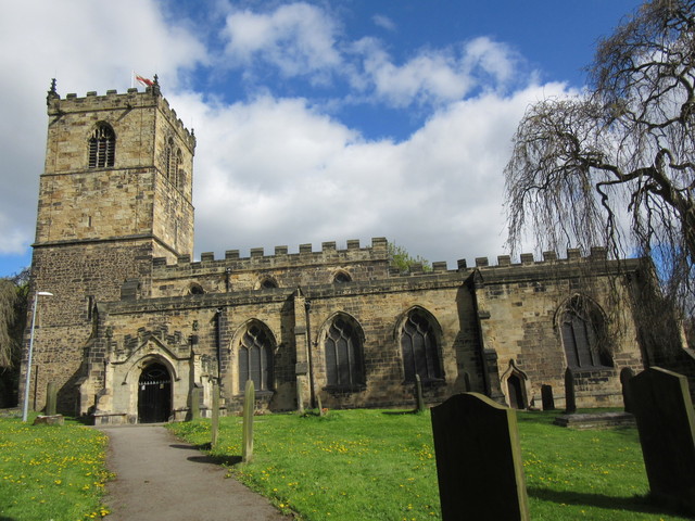


Cudworth, United Kingdom
Cudworth is a town of 11,903 people in England, United Kingdom.
Why visit Cudworth
Townapedia lists 6 museums and landmarks, 11 parks and trails and 17 places to eat in and around town.
Highlights include Monk Bretton Priory, Gatehouse and Cudworth Park.
Weather in Cudworth
Forecast from MET Norway (CC BY 4.0). Full forecast
About Cudworth
Cudworth (English: KUUD-urth) is a village in the Metropolitan Borough of Barnsley in South Yorkshire, England. It had a population of 10,977 in the 2011 Census.
From the Wikipedia article Cudworth, South Yorkshire (this version), under CC BY-SA 4.0.
Photos of Cudworth


Museums and landmarks6



Bleachcroft Farm Freestanding Chimney
Monument and historic site · 0.5 mi
Cudworth Parkway, Barnsley
Opening of The Cudworth and West Green Bypass
Monument and historic site · 1.3 mi
Parks, trails and playgrounds11



Restaurants and cafes17

Sun Inn
Bar and pub · 1.5 mi
Burton Road, Barnsley
Mo-Th 16:00-22:00, Fr 15:00-24:00, Sa 12:00-24:00, Su 11:30-22:00


5 more on the map.
Churches and places of worship10

Church of All Saints
Church · 3.2 mi
Anglican church in Darfield, South Yorkshire, England, UK

Church of St John the Baptist
Church · 2.3 mi
On Church Street in Royston, South Yorkshire, England, UK
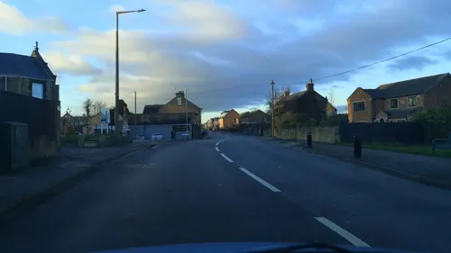
St Michael and All Angels Church, Great Houghton
Church · 2.9 mi
Church in Great Houghton, South Yorkshire, England, UK
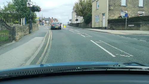

St Mary's Church
Church · 3.0 mi
Church in Barnsley, South Yorkshire, England, UK
The Church of Jesus Christ of Latter-day Saints
Church · Mormon · 1.3 mi
Newfield Avenue, Barnsley
Notable people from Cudworth
 Michael ParkinsonEnglish television and radio personality (1935-2023)Photo: Associated Press, Public domain
- Dorothy HymanBritish athlete
- David HirstEnglish association football player (born 1967)
- Archibald StinchcombeBritish ice hockey player (1912–1994)
- Ralph O'DonnellEnglish footballer (1931-2011)
Born in Cudworth, according to Wikidata (CC0). Each name links to its Wikipedia article.
Shopping3
Gas and EV charging1
Schools, colleges and libraries10
Healthcare4
Map of Cudworth
62 places. The map loads OpenStreetMap tiles when you open it.
Getting there and nearby towns
Leeds Bradford Airport (LBA) is the nearest airport with scheduled flights listed in OpenStreetMap, 23 miles away.
- Wombwell 4 mi south, about 6 min by car
- Darton 5 mi west, about 8 min by car
- Hoyland Nether 5 mi south, about 8 min by car
- Wath upon Dearne 6 mi southeast, about 9 min by car
- South Elmsall 6 mi east, about 9 min by car
- Mexborough 7 mi southeast, about 12 min by car
- Wakefield 8 mi northwest, about 14 min by car
- Featherstone 8 mi north, about 12 min by car
- Rawmarsh 8 mi south, about 13 min by car
- Horbury 9 mi northwest, about 14 min by car
Drive times are estimates from straight-line distance, not routes.
Towns near Cudworth


Keep exploring
Local news
Headlines from INDB.
Reviews, tips and questions
Loading what members have shared...
Sources and licences
- GeoNames (CC BY 4.0): population, coordinates, regions and time zone
- Mapillary (see each image): photos
- OpenStreetMap contributors (ODbL 1.0): places, airports, map data
- Wikidata (CC0 1.0): elevation, founding date, time zone, website, landmarks and historic places
- Wikimedia Commons (see each image): photos
- Wikipedia (CC BY-SA 4.0): overview and history text
Photo credits
- Cudworth - shops on Barnsley Road, Dave Bevis, CC BY-SA 2.0
- All saints church, Darfield, ChicXulub, CC BY-SA 4.0
- StJohnsRoyston, Chemical Engineer, Public domain
- Monk Bretton Priory, from the south, Tony Grist, CC0
- The gatehouse, Monk Bretton Priory 1, Tony Grist, CC0
- MonkBrettonPriory, JohnArmagh, Public domain
- Charlotte Mather (7197051560), AdamKR, CC BY-SA 2.0
- Jack Allison (7197371988), AdamKR, CC BY-SA 2.0
- Calli Thackery (7197866488), AdamKR, CC BY-SA 2.0
- 20120512-Yorkshire-Championships-2012-05579 (7197489714), AdamKR, CC BY-SA 2.0
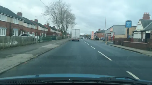
- Street-level photo, cuttlebug, CC BY-SA 4.0
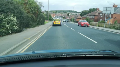
- Street-level photo, cuttlebug, CC BY-SA 4.0
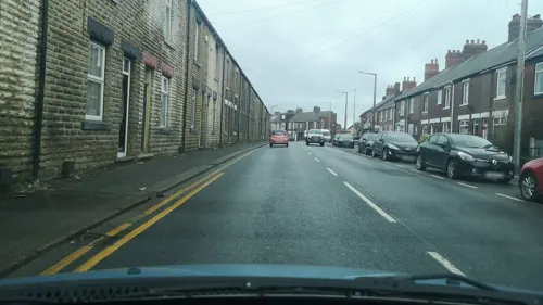
- Street-level photo, cuttlebug, CC BY-SA 4.0
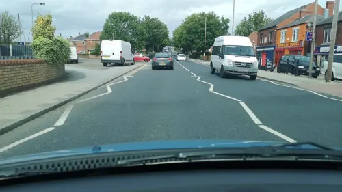
- Street-level photo, cuttlebug, CC BY-SA 4.0
- Street-level photo, cuttlebug, CC BY-SA 4.0
- Street-level photo, cuttlebug, CC BY-SA 4.0
- Street-level photo, cuttlebug, CC BY-SA 4.0
- Street-level photo, cuttlebug, CC BY-SA 4.0
- Street-level photo, cuttlebug, CC BY-SA 4.0
- Street-level photo, cuttlebug, CC BY-SA 4.0
- Street-level photo, cuttlebug, CC BY-SA 4.0
- Street-level photo, cuttlebug, CC BY-SA 4.0
- Street-level photo, cuttlebug, CC BY-SA 4.0
- Street-level photo, cuttlebug, CC BY-SA 4.0

Page built November 10, 2026. Spotted a mistake? Tell us or suggest a place.