


Featherstone, United Kingdom
Featherstone is a town of 11,060 people in England, United Kingdom.
Why visit Featherstone
Townapedia lists 5 museums and landmarks, 6 parks and trails, 41 places to eat, 3 places to stay and 1 attraction in and around town.
Highlights include Tickle Cock Bridge, Lagentium, Nostell Priory and Post Office Road.
Weather in Featherstone
Forecast from MET Norway (CC BY 4.0). Full forecast
About Featherstone
Featherstone is a town and civil parish in the City of Wakefield, West Yorkshire, England, two miles south-west of Pontefract. Historically part of the West Riding of Yorkshire, in 2011 it had a population of 15,244. Featherstone railway station is on the Pontefract Line.
From the Wikipedia article Featherstone (this version), under CC BY-SA 4.0.
Things to do1

Tickle Cock Bridge
Bridge · 3.3 mi
Pedestrian underpass in Castleford, West Yorkshire, England
Museums and landmarks5
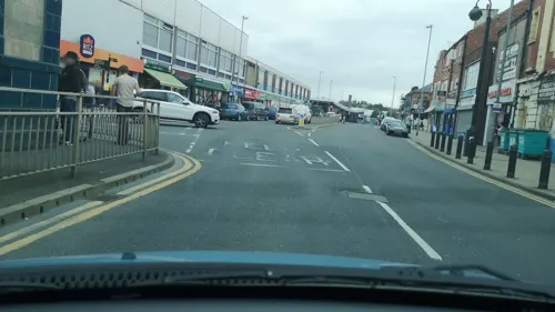

Nostell Priory
Museum · 2.2 mi
Historic house located in West Yorkshire, England, UK

Pontefract Castle
Museum · 2.5 mi
Castle in West Yorkshire, England, UK
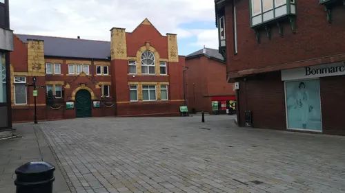
Pontefract Museum
Museum · 2.1 mi
Museum in Pontefract, West Yorkshire, United Kingdom

Parks, trails and playgrounds6



Restaurants and cafes41
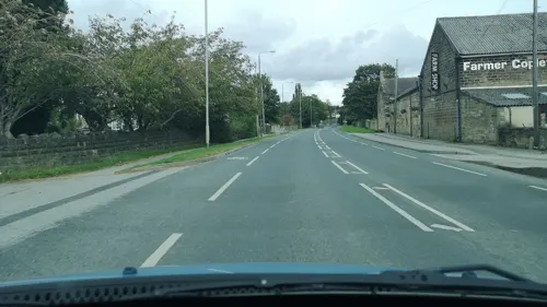
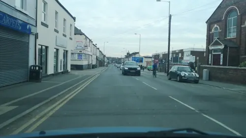
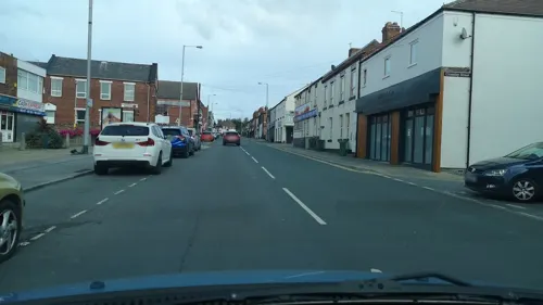

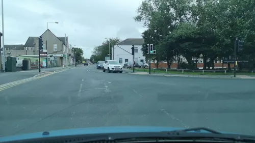
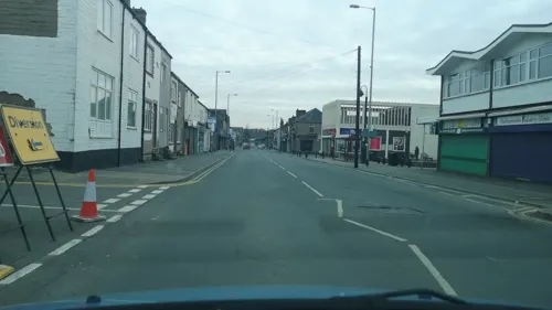


29 more on the map.
History
Despite most population growth taking place around the Industrial Revolution, Featherstone traces its history back much further than this. The Domesday Book (1086) records "In Ferestane [Featherstone] and Prestone [Purston] and Arduwic [Hardwick] and Osele [Nostell], Ligulf had 16 carucates of land for geld, and 6 ploughs may be there." It is thought that a local public house, the Traveller's Rest, can trace its origins to the 17th century whilst the former Jubilee Hotel, a listed building now converted to apartments, once provided a resting place for wealthy Victorians and their horses.
Standing stones just outside the village indicate that there is evidence of an ancient druid grove.
The original village is now known as North Featherstone (at the junction of the B6134 and the B6421 today), set around All Saints' Church and joined to today's centre by Featherstone Lane. The Featherstone family lived at Ackton Hall (now demolished), in the hamlet of Ackton about a mile to the west. What is now known as Featherstone was a later development (originally called South Featherstone) near to the railway station and the village of Purston Jaglin.
Read more of the history
Like many surrounding areas, Featherstone grew around coal mining. Coal had been mined at Featherstone since the 13th century and remains of bell pits can still be seen to the north of Park Lane at North Featherstone. In 1848, the opening of the Wakefield, Pontefract and Goole railway line through Featherstone provided the basis for large scale coal mining in Featherstone, by opening up new markets in the South of England and Europe. Featherstone Main Colliery was opened in 1866, followed by Ackton Hall Colliery in 1873. These were closer to what is now the main part of Featherstone, which consequently expanded.
The town came to national attention during a national "lockout" of mine workers in 1893 due to low coal prices and overproduction. Soldiers fired on a crowd who were demonstrating at the colliery gates, killing two instantly. (The Guardian claimed that a third man, a Mr. Tomlinson from Normanton, died the following day from injuries from being shot but only two dead are named on the town's sculpture.) A distinctive sculpture marking the centenary of the Featherstone Massacre stands in the shopping precinct and a large mural depicting the town's heritage can be seen at the town's main crossroads. Ackton Hall Colliery was the first pit to close following the end of the miners' strike and this could not be contested as geological difficulties had made it impossible for the pit to continue production.
Featherstone is the subject of a study, Coal is Our Life, by the sociologist Norman Dennis, published in 1956.
Opened in the 1950s, Purston Park takes up a large area of space and offers a lake and a children's play area. There was also previously a bowling green, until being changed to a rose garden in 2004. It has been made out of the grounds of what was originally a private residence and a country estate, with the stately home formerly acting as the town hall. This building was sold to developers in 2007 and has since been converted into luxury flats.
Featherstone is undergoing continual change and as part of this a new, state-of-the-art £2.5-million community centre has been built in Station Lane. The "Pit Houses", the houses constituting a council estate which formerly belonged to the National Coal Board, have been demolished to make room for further developments.
From the History section of Featherstone on Wikipedia, under CC BY-SA 4.0.
More about Featherstone
Education
The town has two secondary schools, the Featherstone Academy and St Wilfrid's Catholic High School.
Primary and infant schools include St Thomas' Junior, Girnhill Infants', Purston Infants', North Featherstone Junior and Infants' and All Saints Junior and Infants'.
From the Wikipedia article Featherstone, under CC BY-SA 4.0.
Notable people from Featherstone
 Tom BriscoeEnglish rugby league footballerPhoto: Fleets, CC BY-SA 4.0
 Liam WattsEnglish rugby league footballerPhoto: Fleets, CC BY-SA 4.0
 Luke BriscoeEnglish rugby league footballerPhoto: Fleets, CC BY-SA 4.0
 Richard WhitingEnglish rugby league footballerPhoto: Fleets, CC BY-SA 4.0
 Josh HardcastleEnglish professional rugby league footballerPhoto: Fleets, CC BY-SA 4.0
 Danny EvansEnglish rugby league footballer and coachPhoto: Fleets, CC BY-SA 4.0
- Wilfred AdeyEnglish footballer (1909-1975)
- Geoffrey Lofthouse, Baron Lofthouse of PontefractBritish politician and life peer (1925-2012)
- Wilf BottEnglish footballer (1907-1992)
- Malcolm KirkEnglish professional wrestler, and rugby league footballer
- Bill FrancisEnglish rugby league footballer
- Mick MorganEnglish rugby league footballer and coach
Born in Featherstone, according to Wikidata (CC0). Each name links to its Wikipedia article.
Where to stay3
Churches and places of worship9
Shopping6
Gas and EV charging3
Schools, colleges and libraries11
St Wilfrid's Catholic High School & Sixth Form College: A Voluntary Academy
School · Roman Catholic · 1.4 mi
Cutsyke Road, Pontefract
Healthcare2
Map of Featherstone
87 places. The map loads OpenStreetMap tiles when you open it.
Getting there and nearby towns
Leeds Bradford Airport (LBA) is the nearest airport with scheduled flights listed in OpenStreetMap, 18 miles away.
- Knottingley 5 mi northeast, about 7 min by car
- Wakefield 6 mi west, about 9 min by car
- Kippax 6 mi north, about 10 min by car
- South Elmsall 6 mi southeast, about 10 min by car
- Lofthouse 7 mi northwest, about 11 min by car
- Garforth 8 mi north, about 13 min by car
- Horbury 8 mi west, about 14 min by car
- Ossett 9 mi west, about 15 min by car
- Leeds 11 mi northwest, about 18 min by car
- Wombwell 11 mi south, about 17 min by car
Drive times are estimates from straight-line distance, not routes.
Towns near Featherstone


Keep exploring
Local news
Headlines from INDB.
Reviews, tips and questions
Loading what members have shared...
Sources and licences
- GeoNames (CC BY 4.0): population, coordinates, regions and time zone
- Mapillary (see each image): photos
- OpenStreetMap contributors (ODbL 1.0): places, airports, map data
- Wikidata (CC0 1.0): elevation, founding date, time zone, website, landmarks and historic places
- Wikimedia Commons (see each image): photos
- Wikipedia (CC BY-SA 4.0): overview and history text
Photo credits
- Tickle Cock Bridge April 2017, Chemical Engineer, CC BY-SA 4.0
- Nostell Priory Front Facade, Wehha, CC BY-SA 3.0
- Pontefract Castle, Unknown author, Public domain
- All Saints Church Normanton, Jonobass, CC BY 3.0
- All Saints, Pontefract (27364027412), Tim Green from Bradford, CC BY 2.0
- Micklegate Methodist Church, Pontefract (1), Rept0n1x, CC BY-SA 3.0
- All Saints Church, North Featherstone, JThomas, CC BY-SA 2.0
- FeatherstoneBuilding2017, Spyran, CC BY-SA 4.0
- War Horse, from the front, ColinFine, CC BY-SA 4.0
- Featherstone main stand, Northern Wonder, CC BY-SA 4.0
- Bradley Arms, Featherstone (16659714870), Tim Green from Bradford, UK, CC BY 2.0
- Street-level photo, cuttlebug, CC BY-SA 4.0
- Street-level photo, cuttlebug, CC BY-SA 4.0
- Street-level photo, cuttlebug, CC BY-SA 4.0
- Street-level photo, cuttlebug, CC BY-SA 4.0
- Street-level photo, cuttlebug, CC BY-SA 4.0
- Street-level photo, cuttlebug, CC BY-SA 4.0
- Street-level photo, cuttlebug, CC BY-SA 4.0
- Street-level photo, cuttlebug, CC BY-SA 4.0
- Street-level photo, cuttlebug, CC BY-SA 4.0
- Street-level photo, humez, CC BY-SA 4.0
- Street-level photo, cuttlebug, CC BY-SA 4.0
- Street-level photo, cuttlebug, CC BY-SA 4.0
- Street-level photo, cuttlebug, CC BY-SA 4.0
- Street-level photo, humez, CC BY-SA 4.0
- Street-level photo, cuttlebug, CC BY-SA 4.0
- Street-level photo, cuttlebug, CC BY-SA 4.0
- Street-level photo, cuttlebug, CC BY-SA 4.0
- Street-level photo, cuttlebug, CC BY-SA 4.0
- Street-level photo, cuttlebug, CC BY-SA 4.0
- Street-level photo, cuttlebug, CC BY-SA 4.0
- Street-level photo, humez, CC BY-SA 4.0
- Street-level photo, cuttlebug, CC BY-SA 4.0
- Street-level photo, humez, CC BY-SA 4.0
- Street-level photo, humez, CC BY-SA 4.0
- Street-level photo, cuttlebug, CC BY-SA 4.0
- Street-level photo, cuttlebug, CC BY-SA 4.0
- Street-level photo, cuttlebug, CC BY-SA 4.0
- Street-level photo, cuttlebug, CC BY-SA 4.0
- Street-level photo, cuttlebug, CC BY-SA 4.0


Page built November 10, 2026. Spotted a mistake? Tell us or suggest a place.