


Cullingworth, United Kingdom
Cullingworth is a town of 2,596 people in England, United Kingdom.
Why visit Cullingworth
Townapedia lists 7 museums and landmarks, 3 parks and trails, 17 places to eat, 2 places to stay and 2 attractions in and around town.
Highlights include Ireland Bridge, Brontë Parsonage Museum, Museum of Rail Travel and Holden Park.
Weather in Cullingworth
Forecast from MET Norway (CC BY 4.0). Full forecast
About Cullingworth
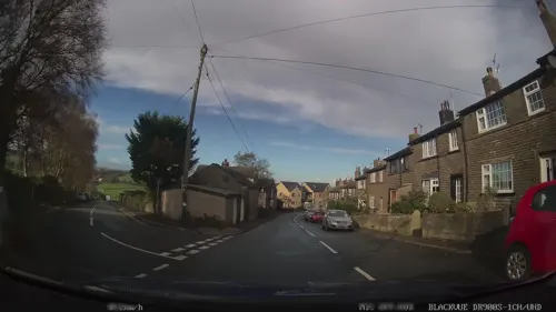
Cullingworth is a village and civil parish in the City of Bradford, West Yorkshire, England. Within the boundaries of the historic West Riding of Yorkshire, it is 7 miles (11 km) west of Bradford and 3 miles (5 km) south of Keighley. The surrounding countryside is mainly used for sheep and cattle farming, with areas of moorland lying to the north and west.
From the Wikipedia article Cullingworth (this version), under CC BY-SA 4.0.
Things to do2

Ireland Bridge
Bridge · 2.9 mi
Bridge in Bingley, West Yorkshire, England,UK

Museums and landmarks7

Brontë Parsonage Museum
Museum · 2.5 mi
Grade I listed historic house museum in Haworth, Cross Roads and Stanbury, West Yorkshire, England,UK
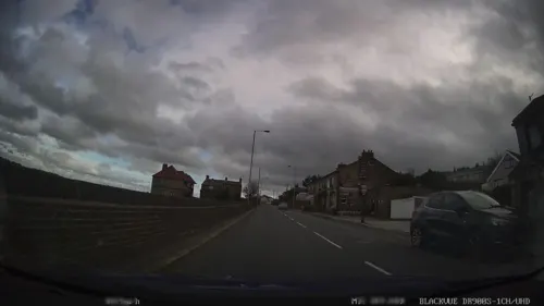
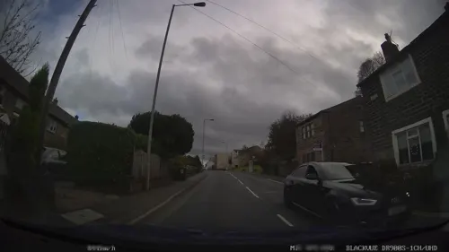
site of Sunday School to Denholme United Reformed Church
Monument and historic site · 1.3 mi

Museum of Rail Travel
Museum · 2.2 mi
Rail travel museum operated by the Vintage Carriages Trust in West Yorkshire, England, United Kingdom

Parks, trails and playgrounds3


Bingley St Ives
Park · 2.2 mi
Country park in West Yorkshire, England
Penistone Hill Country Park
Park · 2.9 mi
Moorland in West Yorkshire, England
Restaurants and cafes17


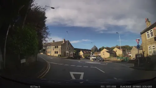
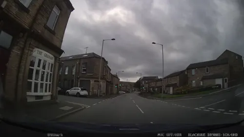



5 more on the map.
More about Cullingworth
Geography
Cullingworth is in the eastern foothills of the South Pennines. Manywells Beck flows through the village, leading into Harden Beck, a small tributary of the River Aire. Cullingworth has a maritime climate, similar to the rest of Britain.
Education
Parkside School educates approximately 1,200 local pupils from Cullingworth and the surrounding villages of Wilsden, Denholme, Thornton and Harden. Cullingworth Village Primary School, which gained a new school building in 2004, educates local primary school children. Cullingworth Preschool cares for and educates young children operating from Cullingworth Village Hall. The Preschool is rated Outstanding by Ofsted.
From the Wikipedia article Cullingworth, under CC BY-SA 4.0.
Where to stay2
Churches and places of worship8
Shopping1
Schools, colleges and libraries4
Healthcare1
Map of Cullingworth
45 places. The map loads OpenStreetMap tiles when you open it.
Getting there and nearby towns
Leeds Bradford Airport (LBA) is the nearest airport with scheduled flights listed in OpenStreetMap, 10 miles away.
- Oxenhope 2 mi west, about 4 min by car
- Keighley 3 mi north, about 5 min by car
- Bingley 3 mi northeast, about 5 min by car
- Baildon 5 mi east, about 8 min by car
- Shipley 5 mi east, about 9 min by car
- Bradford 6 mi east, about 10 min by car
- Cross Hills 7 mi northwest, about 11 min by car
- Halifax 8 mi south, about 12 min by car
- Ilkley 8 mi northeast, about 12 min by car
- Guiseley 8 mi northeast, about 13 min by car
Drive times are estimates from straight-line distance, not routes.
Towns near Cullingworth


Keep exploring
Local news
Headlines from INDB.
Reviews, tips and questions
Loading what members have shared...
Sources and licences
- GeoNames (CC BY 4.0): population, coordinates, regions and time zone
- Mapillary (see each image): photos
- OpenStreetMap contributors (ODbL 1.0): places, airports, map data
- Wikidata (CC0 1.0): elevation, founding date, time zone, website, landmarks and historic places
- Wikimedia Commons (see each image): photos
- Wikipedia (CC BY-SA 4.0): overview and history text
Photo credits
- St John's Church Cullingworth, Decvalts ( talk ), Public domain
- Bingley Ireland Bridge 1, Unknown author, CC BY-SA 2.0
- Bronte Parsonage Museum, SpaceMonkey at en.wikipedia, Public domain
- Bingley All Saints Parish Church1, Unknown author, CC BY-SA 2.0
- Holy Trinity Church Bingley, The joy of all things, CC BY-SA 4.0
- Malt Shovel, Harden (4596160344), Tim Green from Bradford, UK, CC BY 2.0
- Goit Stock Falls (27055469605), Tim Green from Bradford, CC BY 2.0
- Boundary Wall, Holden Park, Roger Templeman, CC BY-SA 2.0
- The Flappit, Keighley (4951528053), Tim Green from Bradford, CC BY 2.0
- Street-level photo, humez, CC BY-SA 4.0
- Street-level photo, humez, CC BY-SA 4.0
- Street-level photo, humez, CC BY-SA 4.0
- Street-level photo, humez, CC BY-SA 4.0
- Street-level photo, humez, CC BY-SA 4.0
- Street-level photo, humez, CC BY-SA 4.0
- Street-level photo, humez, CC BY-SA 4.0
- Street-level photo, humez, CC BY-SA 4.0
Page built November 10, 2026. Spotted a mistake? Tell us or suggest a place.