


Why visit Oxenhope
Townapedia lists 6 museums and landmarks, 5 parks and trails, 37 places to eat, 8 places to stay and 4 attractions in and around town.
Highlights include Brontë Waterfall, Bronte Parsonage Museum, Brontë Parsonage Museum and Holden Park.
Weather in Oxenhope
Forecast from MET Norway (CC BY 4.0). Full forecast
About Oxenhope
Oxenhope is a village and civil parish near Keighley in the metropolitan borough of Bradford, West Yorkshire, England. It is historically part of the West Riding of Yorkshire. The population was 2,476 at the time of the 2001 census and had increased to 2,626 at the 2011 Census. Oxenhope railway station is the terminus for the Keighley and Worth Valley Railway heritage railway.
From the Wikipedia article Oxenhope (this version), under CC BY-SA 4.0.
Things to do4

Brontë Waterfall
Waterfall · 2.1 mi
Waterfall in West Yorkshire, England, UK

Museums and landmarks6

Bronte Parsonage Museum
Museum · 1.3 mi
Church Street, Keighley
Jan-Jun,Sep-Dec We-Su 10:00-17:00; Jul-Aug 10:00-17:00; Jul-Aug Tu off
Brontë Parsonage Museum
Museum · 1.3 mi
Grade I listed historic house museum in Haworth, Cross Roads and Stanbury, West Yorkshire, England,UK
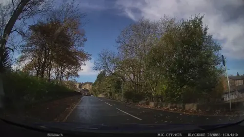

Museum of Rail Travel
Museum · 3.4 mi
Rail travel museum operated by the Vintage Carriages Trust in West Yorkshire, England, United Kingdom

Parks, trails and playgrounds5


Penistone Hill Country Park
Park · 1.2 mi
Moorland in West Yorkshire, England
Restaurants and cafes37


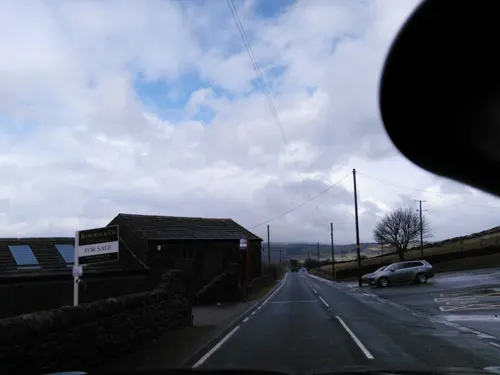
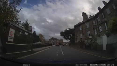
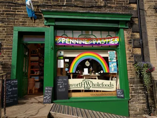
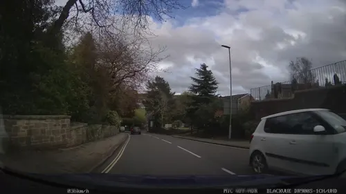


Mill Hey Fisheries (Fish n chip shop)
Cafe · 1.3 mi
4-6 Mill Hey, Keighley
25 more on the map.
History
The name Oxenhope derives from the Old English hop which means valley head, so Oxenhope literally means Oxen Valley Head. The industrialisation of the village came about through the cloth and wool trade and by 1850 Oxenhope had more than 20 mills.
Leeming Reservoir was constructed between 1872 and 1873 to supply the many mills in the area. Its construction necessitated the closure and demolition of at least two mills and their associated houses.
The modern village of Oxenhope encompasses what were originally the separate settlements of Uppertown, Lowertown, Leeming and Horkinstone. The historic hamlets of Marsh and Shaw are also included in the village. The area became known as Oxenhope when the Railway Company named the station serving the area and opened the line from Keighley in 1867. Until then the name Oxenhope referred to a small settlement between the hamlet of Marsh and Haworth.
Read more of the history
The street pattern of Oxenhope was much altered when the railway arrived. It had originally been intended that the railway would terminate at Haworth; however the owners of Lowertown Mill in Oxenhope persuaded the railway company to extend the line. It was found impracticable to take the railway as far as Lowertown because of the gradients that would have been required. As a compromise, the railway company built a road from its station to Lowertown, appropriately named Station Road. The bridge by which this road crosses Leeming Water is of the same construction as many of the railway's bridges.
From the History section of Oxenhope on Wikipedia, under CC BY-SA 4.0.
More about Oxenhope
Arts and culture
The village hosts a number of annual events including a show, a beer festival (organised by Keighley and Worth Valley Railway) and a music festival at a pub.
Each summer the village holds an annual Straw Race. The race was inaugurated in 1976 and since then has raised £300,000 for charity from its participants via sponsorship. Competitors are required to carry a 20-kilogram (44 lb) bale of straw 2+1⁄2 miles (4.0 km) between five public houses in the Oxenhope area (including the Waggon and Horses, The Bay Horse and The Lamb) and drink a beer in each pub. The last stretch to the Dog & Gun Pub is 1+1⁄2 miles (2.4 km) uphill, past Leeming Reservoir. Many of the competitors wear fancy dress.
On 6 July 2014, Stage 2 of the 2014 Tour de France from York to Sheffield passed through the village. The subsequent Tour de Yorkshire cycling event also passed through the village in 2015, 2017 and 2018.
Oxenhope is represented in Association Football by Oxenhope Recreation AFC, which fields multiple teams, with the men's first team competing in the West Yorkshire Football League. Home matches are played at the Recreation Ground on Bridge Road. In cricket, Oxenhope Cricket Club competes in the Halifax Cricket League.
From the Wikipedia article Oxenhope, under CC BY-SA 4.0.
Notable people from Oxenhope
- Herbert ButterfieldBritish historian (1900 – 1979)
Born in Oxenhope, according to Wikidata (CC0). Each name links to its Wikipedia article.
Where to stay8
Churches and places of worship6
Shopping20
Schools, colleges and libraries2
Map of Oxenhope
88 places. The map loads OpenStreetMap tiles when you open it.
Getting there and nearby towns
Leeds Bradford Airport (LBA) is the nearest airport with scheduled flights listed in OpenStreetMap, 12 miles away.
- Keighley 4 mi northeast, about 7 min by car
- Bingley 5 mi northeast, about 8 min by car
- Cross Hills 7 mi north, about 11 min by car
- Baildon 7 mi east, about 11 min by car
- Bradford 8 mi east, about 13 min by car
- Halifax 8 mi southeast, about 13 min by car
- Shipley 8 mi east, about 12 min by car
- Todmorden 9 mi southwest, about 14 min by car
- Colne 9 mi west, about 15 min by car
- Ilkley 9 mi northeast, about 15 min by car
Drive times are estimates from straight-line distance, not routes.
Towns near Oxenhope


Keep exploring
Local news
Headlines from INDB.
Reviews, tips and questions
Loading what members have shared...
Sources and licences
- GeoNames (CC BY 4.0): population, coordinates, regions and time zone
- Mapillary (see each image): photos
- OpenStreetMap contributors (ODbL 1.0): places, airports, map data
- Wikidata (CC0 1.0): elevation, founding date, time zone, website, landmarks and historic places
- Wikimedia Commons (see each image): photos
- Wikipedia (CC BY-SA 4.0): overview and history text
Photo credits
- St Mary's Church, Oxenhope, David Dixon, CC BY-SA 2.0
- Bronte Parsonage Museum, SpaceMonkey at en.wikipedia, Public domain
- The Fleece, Haworth (5482880507), Tim Green from Bradford, CC BY 2.0
- Bay Horse, Oxenhope (3074856923), Tim Green from Bradford, UK, CC BY 2.0
- The Kings Arms, Church Street, Haworth, W Yorks, tattyapple, CC BY-SA 4.0
- Brontë Parsonage, DeFacto, CC BY-SA 4.0
- Boundary Wall, Holden Park, Roger Templeman, CC BY-SA 2.0
- Street-level photo, humez, CC BY-SA 4.0
- Street-level photo, nello, CC BY-SA 4.0
- Street-level photo, chris_debian, CC BY-SA 4.0
- Street-level photo, humez, CC BY-SA 4.0
- Street-level photo, humez, CC BY-SA 4.0
- Street-level photo, humez, CC BY-SA 4.0
- Street-level photo, humez, CC BY-SA 4.0
- Street-level photo, humez, CC BY-SA 4.0
- Street-level photo, humez, CC BY-SA 4.0
- Street-level photo, humez, CC BY-SA 4.0
- Street-level photo, humez, CC BY-SA 4.0
- Street-level photo, humez, CC BY-SA 4.0
- Street-level photo, humez, CC BY-SA 4.0
Page built November 10, 2026. Spotted a mistake? Tell us or suggest a place.