


Why visit Debenham
Townapedia lists 2 parks and trails and 3 places to eat in and around town.
Highlights include Fox Fritillary Meadow and Mickfield Meadow.
Weather in Debenham
Forecast from MET Norway (CC BY 4.0). Full forecast
About Debenham
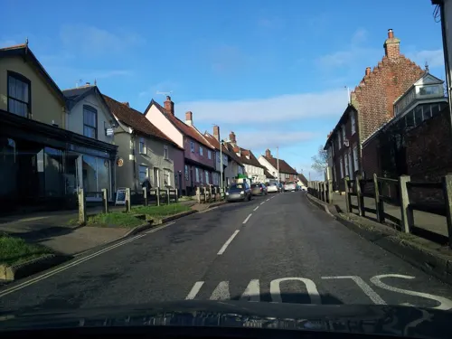
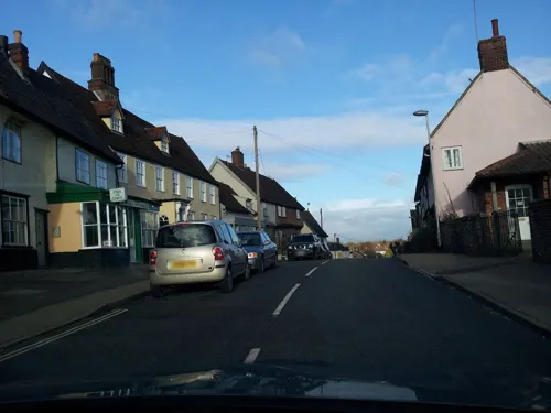
Debenham is a village and civil parish located 11 miles (18 km) north of Ipswich in the Mid Suffolk district of Suffolk, England. The River Deben rises in the parish, and flows along a prolonged ford through the village.
From the Wikipedia article Debenham (this version), under CC BY-SA 4.0.
Travel tips from other travellers: Debenham on Wikivoyage (CC BY-SA 4.0).
Parks, trails and playgrounds2

Fox Fritillary Meadow
Park · 1.9 mi
Suffolk Wildlife Trust nature reserve

Restaurants and cafes3

Churches and places of worship4


Shopping3
History
In 1086, Debenham was a comparatively large village of 69 households in the hundred of Claydon.
In 1991, Prince Alexandre of Belgium was married in the village, however the marriage was kept a secret until 1998.
At the 2001 census the parish population was recorded as 1,728 increasing to 2,210 at the 2011 census though including the parishes of Aspall and Winston. It is currently estimated to be 2,274.
In November 2020, filming on the thriller movie Confession started at Debenham Church. The film stars Colm Meaney.
St Mary's Arts Exhibition started in 1976 and runs each year during the summer.
From the History section of Debenham on Wikipedia, under CC BY-SA 4.0.
Schools, colleges and libraries2
Sir Robert Hitcham Church of England Voluntary Aided Primary School
School · Anglican
School Corner, Stowmarket
Map of Debenham
14 places. The map loads OpenStreetMap tiles when you open it.
Getting there and nearby towns
RAF Honington (BEQ) is the nearest airport with scheduled flights listed in OpenStreetMap, 19 miles away.
- Eye 7 mi north, about 11 min by car
- Stowmarket 8 mi west, about 13 min by car
- Wickham Market 9 mi southeast, about 15 min by car
- Haughley 9 mi west, about 15 min by car
- Scole 10 mi north, about 16 min by car
- Ipswich 11 mi south, about 18 min by car
- Woodbridge 11 mi southeast, about 17 min by car
- Diss 11 mi north, about 18 min by car
- Kesgrave 11 mi south, about 18 min by car
- Rickinghall 11 mi northwest, about 18 min by car
Drive times are estimates from straight-line distance, not routes.
Towns near Debenham


Keep exploring
Local news
Headlines from INDB.
Reviews, tips and questions
Loading what members have shared...
Sources and licences
- GeoNames (CC BY 4.0): population, coordinates, regions and time zone
- Mapillary (see each image): photos
- OpenStreetMap contributors (ODbL 1.0): places, airports, map data
- Wikidata (CC0 1.0): elevation, founding date, time zone, website, landmarks and historic places
- Wikimedia Commons (see each image): photos
- Wikipedia (CC BY-SA 4.0): overview and history text
Photo credits
- St Mary Magdalene - Debenham aerial image - Suffolk UK (13703335704), John Fielding from Norwich, UK, CC BY 2.0
- Fox Fritillary Meadow 2, Dudley Miles, CC BY-SA 4.0
- Debenham - Church of St Mary Magdalene, Tim Marchant, CC BY-SA 2.0
- Street-level photo, adam2, CC BY-SA 4.0
- Street-level photo, adam2, CC BY-SA 4.0
- Street-level photo, adam2, CC BY-SA 4.0
- Street-level photo, adam2, CC BY-SA 4.0
- Street-level photo, adam2, CC BY-SA 4.0
- Street-level photo, adam2, CC BY-SA 4.0
Page built November 10, 2026. Spotted a mistake? Tell us or suggest a place.