


Wickham Market, United Kingdom
Wickham Market is a town of 2,156 people in England, United Kingdom.
Why visit Wickham Market
Townapedia lists 4 museums and landmarks, 2 parks and trails, 7 places to eat and 5 places to stay in and around town.
Highlights include Campsey Priory, Parham Airfield Museum, Bromeswell Green and Foxburrow Farm.
Weather in Wickham Market
Forecast from MET Norway (CC BY 4.0). Full forecast
About Wickham Market
Wickham Market is a large village and electoral ward in the River Deben valley, Suffolk, England, within the Suffolk Coastal heritage area.
From the Wikipedia article Wickham Market (this version), under CC BY-SA 4.0.
Museums and landmarks4

Campsey Priory
Monument and historic site · 1.4 mi
Priory in Suffolk, England, UK

Parham Airfield Museum
Museum · 3.4 mi
UK museum in East Suffolk, Suffolk, England

Parks, trails and playgrounds2


Restaurants and cafes7

Where to stay5


Notable people from Wickham Market
 Anne WalkerBritish astronomer (1863–1940)Photo: Original image: anonymous. Scan:..., Public domain
Born in Wickham Market, according to Wikidata (CC0). Each name links to its Wikipedia article.
Churches and places of worship2
Shopping3
Schools, colleges and libraries2
Healthcare2
Map of Wickham Market
27 places. The map loads OpenStreetMap tiles when you open it.
Getting there and nearby towns
RAF Honington (BEQ) is the nearest airport with scheduled flights listed in OpenStreetMap, 28 miles away.
- Woodbridge 5 mi southwest, about 7 min by car
- Kesgrave 8 mi southwest, about 13 min by car
- Ipswich 11 mi southwest, about 18 min by car
- Felixstowe 13 mi south, about 21 min by car
- Shotley Gate 14 mi south, about 23 min by car
- Harwich 15 mi south, about 24 min by car
- Holbrook 15 mi southwest, about 23 min by car
- Dovercourt 15 mi south, about 25 min by car
- Stowmarket 16 mi west, about 25 min by car
- Diss 19 mi northwest, about 30 min by car
Drive times are estimates from straight-line distance, not routes.
Towns near Wickham Market


Keep exploring
Local news
Headlines from INDB.
Reviews, tips and questions
Loading what members have shared...
Sources and licences
- GeoNames (CC BY 4.0): population, coordinates, regions and time zone
- Mapillary (see each image): photos
- OpenStreetMap contributors (ODbL 1.0): places, airports, map data
- Wikidata (CC0 1.0): elevation, founding date, time zone, website, landmarks and historic places
- Wikimedia Commons (see each image): photos
- Wikipedia (CC BY-SA 4.0): overview and history text
Photo credits
- Campsey Priory groundplan 1790, John Nichols (printer), (1745-1826), Public domain
- Bromeswell Green 3, Dudley Miles, CC BY-SA 4.0
- Foxburrow Farm 8, Dudley Miles, CC BY-SA 4.0
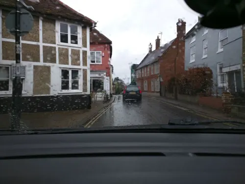
- Street-level photo, richardwest, CC BY-SA 4.0
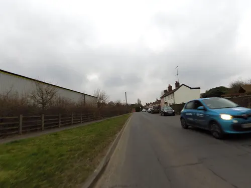
- Street-level photo, richardwest, CC BY-SA 4.0
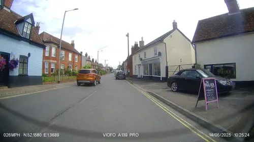
- Street-level photo, IpswichEdits, CC BY-SA 4.0
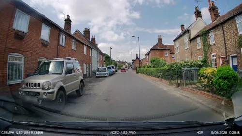
- Street-level photo, richardwest, CC BY-SA 4.0
- Street-level photo, richardwest, CC BY-SA 4.0
- Street-level photo, IpswichEdits, CC BY-SA 4.0
- Street-level photo, adam2, CC BY-SA 4.0
- Street-level photo, richardwest, CC BY-SA 4.0
- Street-level photo, smsm1, CC BY-SA 4.0
- Street-level photo, IpswichEdits, CC BY-SA 4.0
- Street-level photo, IpswichEdits, CC BY-SA 4.0
Page built November 10, 2026. Spotted a mistake? Tell us or suggest a place.