


Deddington, United Kingdom
Deddington is a town of 1,594 people in England, United Kingdom.
Why visit Deddington
Townapedia lists 5 museums and landmarks, 3 parks and trails, 11 places to eat and 4 places to stay in and around town.
Highlights include Bloxham Village Museum, Deddington Castle and Adderbury Lakes.
Weather in Deddington
Forecast from MET Norway (CC BY 4.0). Full forecast
About Deddington
Deddington is a town and civil parish in Oxfordshire, England, 6 miles (10 km) south of Banbury. The parish includes two hamlets, Clifton and Hempton. The 2011 Census recorded the parish's population as 2,146. It has been a market town since the 12th century.
From the Wikipedia article Deddington (this version), under CC BY-SA 4.0.
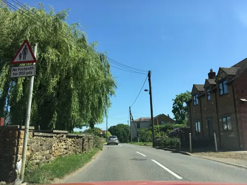
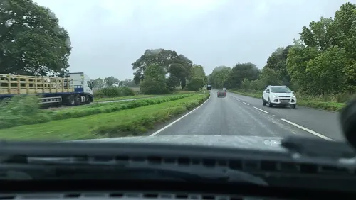
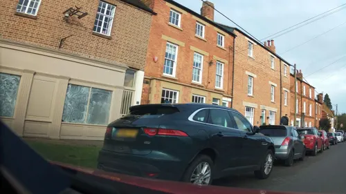
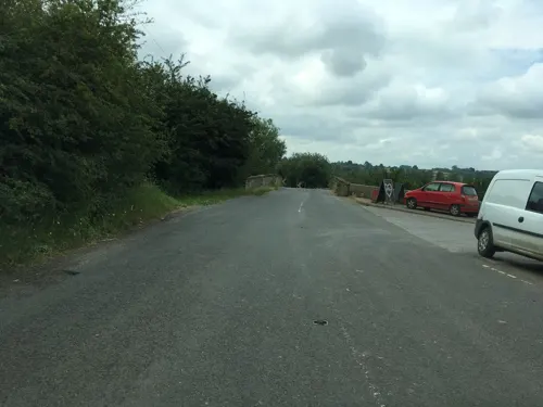
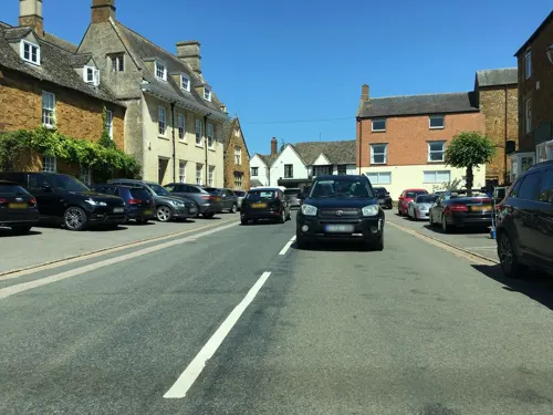
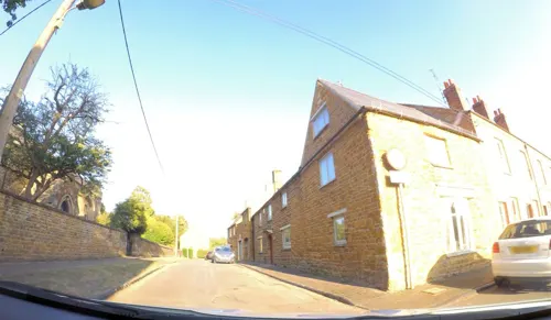
Photos of Deddington

Museums and landmarks5
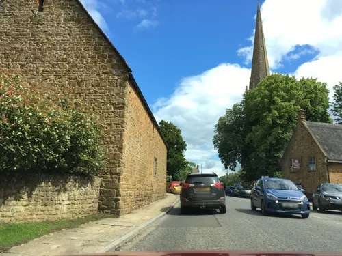
Bloxham Village Museum
Museum · 3.5 mi
Local museum in Bloxham, England, United Kingdom


Parks, trails and playgrounds3
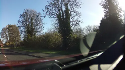

Adderbury Lakes
Park · 2.5 mi
Local nature reserve in Oxfordshire, England, UK

Restaurants and cafes11



Where to stay4


More about Deddington
Geography
The parish is about 3 miles (5 km) wide east–west, about 2 miles (3 km) wide north–south and has an area of about 4,246 acres (1,718 ha). Watercourses bound it on three sides: The River Cherwell to the east, its tributary the River Swere to the north and the Sowbrook (i.e. "South Brook") to the south. Here the Cherwell also forms the county boundary with Northamptonshire. To the west the parish is bounded by field boundaries. In the southwest of the parish, about 1 mile (1.6 km) south of Hempton, is Ilbury Iron Age hill fort, atop a hill 433 feet (132 m) high. Near the fort is the site of a deserted medieval village, also called Ilbury. In 1980 the village site was rediscovered and Medieval pottery from the 12th, 13th and 14th centuries was found.
Clifton, Deddington and Hempton stand on a ridge of Jurassic ferruginous marlstone hills between the three watercourses. Clifton is about 1+1⁄2 miles (2.4 km) east of Deddington, at the eastern end of the ridge where it slopes down to the Cherwell. The ridges rises westward. Deddington is about 430 feet (130 m) above sea level. Hempton is about 1+1⁄2 miles (2.4 km) west of Deddington and about 489 feet (149 m) above sea level. The highest point of the ridge is on the western boundary of the parish, more than 490 feet (150 m) above sea level. The parish's topography is alluded to in a local rhyme:
From the Wikipedia article Deddington, under CC BY-SA 4.0.
Notable people from Deddington
- Rob TaylorBritish motorsport designer
- John Hyde HarrisNew Zealand mayor
- John HarrisNew Zealand cricketer (1825-1886)
Born in Deddington, according to Wikidata (CC0). Each name links to its Wikipedia article.
Churches and places of worship16
Church of the Annunciation to the Blessed Virgin Mary
Church · 3.4 mi
Shopping3
Schools, colleges and libraries3
Healthcare1
Map of Deddington
46 places. The map loads OpenStreetMap tiles when you open it.
Getting there and nearby towns
Oxford Airport (OXF) is the nearest airport with scheduled flights listed in OpenStreetMap, 10 miles away.
- Banbury 6 mi north, about 9 min by car
- Brackley 8 mi northeast, about 13 min by car
- Bicester 9 mi southeast, about 15 min by car
- Stonesfield 10 mi southwest, about 16 min by car
- Kidlington 11 mi south, about 18 min by car
- Lower Brailes 11 mi northwest, about 17 min by car
- Tingewick 12 mi east, about 19 min by car
- North Leigh 13 mi southwest, about 20 min by car
- Buckingham 14 mi east, about 23 min by car
- Oxford 16 mi south, about 26 min by car
Drive times are estimates from straight-line distance, not routes.
Towns near Deddington


Keep exploring
Local news
Headlines from INDB.
Reviews, tips and questions
Loading what members have shared...
Sources and licences
- GeoNames (CC BY 4.0): population, coordinates, regions and time zone
- Mapillary (see each image): photos
- OpenStreetMap contributors (ODbL 1.0): places, airports, map data
- Wikidata (CC0 1.0): elevation, founding date, time zone, website, landmarks and historic places
- Wikimedia Commons (see each image): photos
- Wikipedia (CC BY-SA 4.0): overview and history text
Photo credits
- Sandford StMartin SE, Motacilla, CC BY-SA 3.0
- Souldern StMaryTheVirgin SouthElevation, Motacilla, CC BY-SA 3.0
- SouthNewington StPeterAV SSE, Motacilla, CC BY-SA 4.0
- Outer bailey, looking south, Charlesdrakew, Public domain
- Barford St. Michael church, Ben Nicholson, CC BY-SA 2.0
- NorthAston StMary SE01, Motacilla, CC BY-SA 3.0
- Deddington UnicornInn, Motacilla, CC BY-SA 4.0
- Barford St. Michael pub, al partington, CC BY-SA 2.0
- North bank of outer bailey, Deddington Castle, Charlesdrakew, Public domain
- Street-level photo, alexanderar, CC BY-SA 4.0
- Street-level photo, southglos, CC BY-SA 4.0
- Street-level photo, southglos, CC BY-SA 4.0
- Street-level photo, laye, CC BY-SA 4.0
- Street-level photo, 4004, CC BY-SA 4.0
- Street-level photo, southglos, CC BY-SA 4.0
- Street-level photo, southglos, CC BY-SA 4.0
- Street-level photo, 4004, CC BY-SA 4.0
- Street-level photo, alexanderar, CC BY-SA 4.0
- Street-level photo, southglos, CC BY-SA 4.0
- Street-level photo, alexanderar, CC BY-SA 4.0
- Street-level photo, southglos, CC BY-SA 4.0
- Street-level photo, alexanderar, CC BY-SA 4.0
- Street-level photo, 4004, CC BY-SA 4.0
- Street-level photo, southglos, CC BY-SA 4.0
- Street-level photo, southglos, CC BY-SA 4.0
Page built November 10, 2026. Spotted a mistake? Tell us or suggest a place.