


Why visit Denholme
Townapedia lists 9 museums and landmarks, 8 parks and trails, 15 places to eat, 3 places to stay and 3 attractions in and around town.
Highlights include Brontë Parsonage Museum and Thornton War Memorial.
Weather in Denholme
Forecast from MET Norway (CC BY 4.0). Full forecast
About Denholme
Denholme is a town and civil parish in the Bradford Metropolitan Borough, West Yorkshire, England. It is 8 miles (13 km) west of Bradford, 7 miles (11 km) from Keighley and roughly the same distance from Halifax. Administratively, it is part of the Bingley Rural ward of the City of Bradford. Denholme had a population of 2,976 in 2001, this had increased to 3,489 at the 2011 Census.
From the Wikipedia article Denholme (this version), under CC BY-SA 4.0.
Things to do3

Museums and landmarks9

Brontë Parsonage Museum
Museum · 3.2 mi
Grade I listed historic house museum in Haworth, Cross Roads and Stanbury, West Yorkshire, England,UK

site of Sunday School to Denholme United Reformed Church
Monument and historic site

Parks, trails and playgrounds8

Restaurants and cafes15
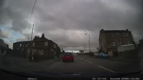
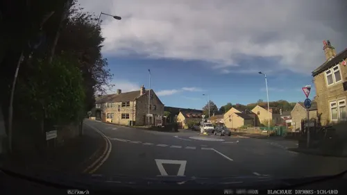
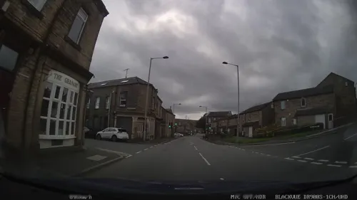
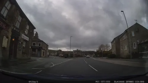
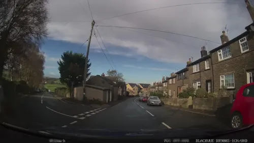


3 more on the map.
History
The name Denholme is probably of Viking origin, translating to "A flat amongst the hillside". This is a good description of the town's geographical setting, since it is located in a broad side valley extending southwards from that of the River Aire - the Aire Valley or Airedale. However, an alternative suggestion of the word "Holme", in old Viking Danelaw, would be that of reclaimed marshland (or an "island" in a wet area) and Den or Denu, in Old English, means Valley. This would also make sense given the areas many springs, marshy terrain and situation in a valley. Denholme is also on the eastern flank of the Pennines, commonly known as the "backbone of England", about midway along their length.
The town sits on the old Roman Road from Manchester (Mamucium or Mancunium) to Ilkley (Olicana) though there is no evidence of any settlement then. The line of the road is visible on the ground to the south of the town, not far from St Paul's church.
The first evidence of habitation in the area dates from the 13th century. There is a grant of land, dated 1239, whereby Thomas de Thornton gave grazing land at Denholme to the monks of Byland Abbey. It is likely that the monks would have built a grange in the area and this may well have given the town its first occupants.
Read more of the history
The entire Victorian housing sites of Denholme were built by the Fosters who also built the old textile mills of Denholme. The houses were for the workers of the mills.
It was common in Victorian England for wealthy businessmen to build entire towns to house the workers of their mills.
Denholme railway station opened on 1 January 1884, closing to passengers on 23 May 1955 and closed completely on 10 April 1961 when sometime after most of its buildings were demolished. The railway was built by the Great Northern Railway (GNR) and linked Bradford, Keighley and Halifax via a triangular junction at Queensbury. The Queensbury lines and station transferred to the London & North Eastern Railway and, ultimately, to the North Eastern Region of British Railways before closure. At 850 feet (259 m) above sea level, Denholme was the highest station on the entire GNR system. The line was mostly rural and needed the construction of many earthworks, viaducts and tunnels. Its hilly nature earned it the nicknames of "the Alpine route" or "the switchback" from its drivers.
The original mills around which the town grew have now gone, though their sites have been partially re-used for light industry. Recent years have seen the closure of the bulk of the remaining manufacturing industry in the town, including specialised textiles, joinery and constructional timber. Whilst there are still employment opportunities in the shops, schools and other town services, or on the surrounding farms, the majority of working residents now commute to Bradford, Keighley, Halifax or Leeds.
From the History section of Denholme on Wikipedia, under CC BY-SA 4.0.
More about Denholme
Education
There is a primary school. The neighbouring hamlet of Keelham also has a primary school and some children from the town attend there.
The nearest high school is Parkside School, Cullingworth, 2.5 miles (4 km) away.
From the Wikipedia article Denholme, under CC BY-SA 4.0.
Where to stay3
Ashtree House Bed and Breakfast
Motel and hotel · 1.2 mi
840 Thornton Road, Bradford
Churches and places of worship2
Shopping2
Schools, colleges and libraries3
Healthcare1
Map of Denholme
46 places. The map loads OpenStreetMap tiles when you open it.
Getting there and nearby towns
Leeds Bradford Airport (LBA) is the nearest airport with scheduled flights listed in OpenStreetMap, 11 miles away.
- Oxenhope 2 mi west, about 4 min by car
- Bingley 4 mi northeast, about 6 min by car
- Keighley 5 mi north, about 7 min by car
- Baildon 5 mi northeast, about 9 min by car
- Bradford 6 mi east, about 9 min by car
- Shipley 6 mi northeast, about 9 min by car
- Halifax 6 mi south, about 10 min by car
- Luddenden Foot 6 mi south, about 10 min by car
- Southowram 7 mi south, about 11 min by car
- Brighouse 8 mi southeast, about 13 min by car
Drive times are estimates from straight-line distance, not routes.
Towns near Denholme


Keep exploring
Local news
Headlines from INDB.
Reviews, tips and questions
Loading what members have shared...
Sources and licences
- GeoNames (CC BY 4.0): population, coordinates, regions and time zone
- Mapillary (see each image): photos
- OpenStreetMap contributors (ODbL 1.0): places, airports, map data
- Wikidata (CC0 1.0): elevation, founding date, time zone, website, landmarks and historic places
- Wikimedia Commons (see each image): photos
- Wikipedia (CC BY-SA 4.0): overview and history text
Photo credits
- St Paul's Denholme 1, Tim Green from Bradford, CC BY 2.0
- Denholme community library (36918487696), JuliaC2006 from Rochester, UK, CC BY 2.0
- Bronte Parsonage Museum, SpaceMonkey at en.wikipedia, Public domain
- War memorial (2531300873), Tim Green from Bradford, CC BY 2.0
- Street-level photo, humez, CC BY-SA 4.0
- Street-level photo, humez, CC BY-SA 4.0
- Street-level photo, humez, CC BY-SA 4.0
- Street-level photo, mappo2, CC BY-SA 4.0
- Street-level photo, humez, CC BY-SA 4.0
- Street-level photo, humez, CC BY-SA 4.0
- Street-level photo, humez, CC BY-SA 4.0
- Street-level photo, humez, CC BY-SA 4.0
- Street-level photo, humez, CC BY-SA 4.0
- Street-level photo, humez, CC BY-SA 4.0
- Street-level photo, humez, CC BY-SA 4.0
- Street-level photo, humez, CC BY-SA 4.0
- Street-level photo, humez, CC BY-SA 4.0
- Street-level photo, humez, CC BY-SA 4.0
- Street-level photo, humez, CC BY-SA 4.0
Page built November 10, 2026. Spotted a mistake? Tell us or suggest a place.