

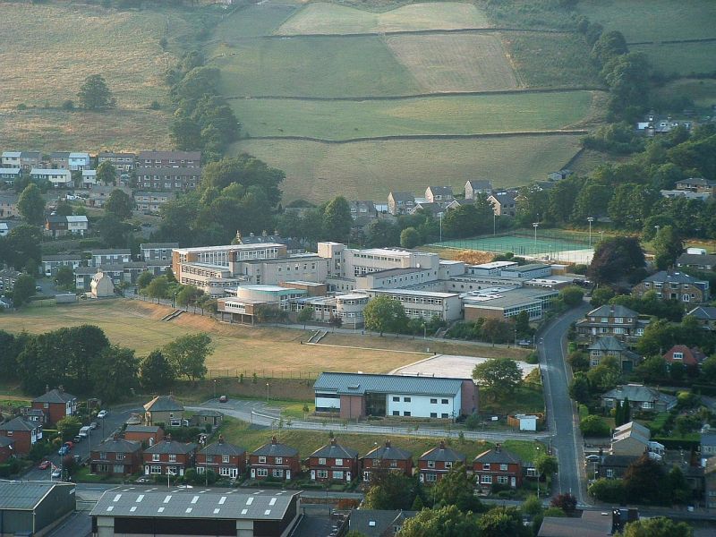


Luddenden Foot, United Kingdom
Luddenden Foot is a town of 2,190 people in England, United Kingdom.
Why visit Luddenden Foot
Townapedia lists 4 museums and landmarks, 10 parks and trails, 24 places to eat and 1 place to stay in and around town.
Highlights include Warley Museum, Sowerby Castle, People's Park and Savile Park.
Weather in Luddenden Foot
Forecast from MET Norway (CC BY 4.0). Full forecast
About Luddenden Foot
Luddendenfoot or Luddenden Foot is a village in West Yorkshire, England. It is in the borough of Calderdale, to the northwest of Sowerby Bridge and west of Halifax. The population of Luddendenfoot is 2,547, with the wider Calderdale Ward having a population of 10,653 at the 2011 Census. The village lies along the Upper Calder Valley below Luddenden, between Sowerby Bridge and Mytholmroyd.
From the Wikipedia article Luddendenfoot (this version), under CC BY-SA 4.0.
Museums and landmarks4


Parks, trails and playgrounds10

People's Park
Park · 3.0 mi
Park in Halifax, West Yorkshire, England, UK

Savile Park
Park · 3.0 mi
Open space in Halifax, West Yorkshire, England, UK


Holmes Park
Park
A wonderful and popular open space accessible to all. Bounded on one side by the Rochdale Canal, and on the other the river Calder....
Station Road, Halifax
24/7


Restaurants and cafes24

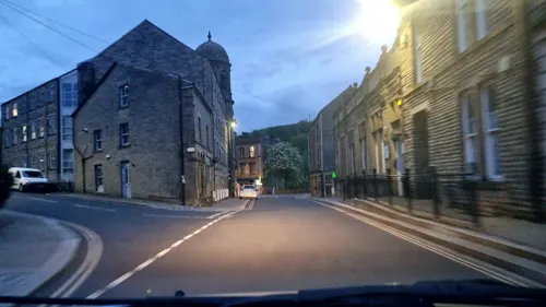
Hollins Mill
Bar and pub · 1.5 mi
12 Hollins Mill Lane, Sowerby Bridge
Mo,Tu 14:00-09:00; We 14:00-09:00; Th 14:00-11:00; Fr,Sa...
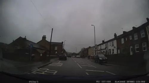
SOUL Wellness Hub
Cafe · 1.2 mi
Float tank, infrared sauna, two yoga studios, bohemian cloths shop, therapy rooms
Burnley Road, Sowerby Bridge
Mo,We,Th,Fr,Sa,Su 10:00-19:00
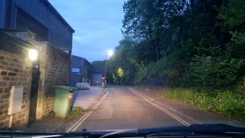

The Crusty Cob
Cafe · Sandwich, Cake, Breakfast · 1.0 mi
23 Towngate
Mo-Fr 07:30-14:30, Sa 08:00-13:00

The Royal Oak
Bar and pub · 1.5 mi
Sowerby Street
Mo 16:00-23:00, Tu-Fr 14:00-23:00, Sa-Su 12:00-23:00
The Church Stile Inn
Bar and pub · 1.0 mi
Sowerby New Road, Sowerby Bridge
Mo-Th 16:00-23:00, Fr 16:00-00:00, Sa 12:00-00:00, Su 12:00-23:00
12 more on the map.
Where to stay1

History
The settlement grew up around the confluence of Luddenden Brook and the River Calder and the existence of the woollen textile industry. The industrial growth facilitated by the opening of the Rochdale Canal in 1804 and the opening of the Manchester and Leeds Railway in 1840. There were several mills including Boy Mill, Luddendenfoot Mill, Delph Mill and Denholme Mill. None of these mills remain in their original use.
Between 1840 and 1962 the village was served by Luddendenfoot railway station.
Luddendenfoot grew up around the industry along the river and brook, then later the canal; then the railway and then the A646 Burnley Road.
In the late 20th century, many houses along Burnley Road were cleared and a new housing estate at Kershaw was developed. In the early 21st century, housing has been built on a cleared mill site in the centre of the village.
From the History section of Luddendenfoot on Wikipedia, under CC BY-SA 4.0.
More about Luddenden Foot
Education
There are two primary schools in Luddendenfoot; Luddendenfoot Academy, formerly Luddendenfoot Junior and Infant School and Luddenden CE School.
From the Wikipedia article Luddendenfoot, under CC BY-SA 4.0.
Notable people from Luddenden Foot
- Peter JacksonEnglish football player and manager, born 1905 (1905–1986)
Born in Luddenden Foot, according to Wikidata (CC0). Each name links to its Wikipedia article.
Churches and places of worship9
Kingdom Hall of Jehovah's Witnesses
Church · Jehovahs Witness · 1.5 mi
50 Sowerby Street, Sowerby Bridge
St Paul's Methodist Church
Church · Methodist · 1.5 mi
Tower Hill, Sowerby Bridge
Shopping1
Gas and EV charging2
Schools, colleges and libraries14
Sacred Heart Catholic Voluntary Academy
School · Roman Catholic · 1.3 mi
St Peters Avenue, Sowerby Bridge
Map of Luddenden Foot
65 places. The map loads OpenStreetMap tiles when you open it.
Getting there and nearby towns
Leeds Bradford Airport (LBA) is the nearest airport with scheduled flights listed in OpenStreetMap, 16 miles away.
- Barkisland 3 mi south, about 5 min by car
- Halifax 4 mi east, about 6 min by car
- Elland 5 mi southeast, about 8 min by car
- Southowram 5 mi east, about 8 min by car
- Todmorden 6 mi west, about 10 min by car
- Oxenhope 6 mi north, about 10 min by car
- Brighouse 7 mi east, about 11 min by car
- Rastrick 7 mi east, about 11 min by car
- Walsden 7 mi west, about 11 min by car
- Huddersfield 8 mi southeast, about 13 min by car
Drive times are estimates from straight-line distance, not routes.
Towns near Luddenden Foot


Keep exploring
Local news
Headlines from INDB.
Reviews, tips and questions
Loading what members have shared...
Sources and licences
- GeoNames (CC BY 4.0): population, coordinates, regions and time zone
- Mapillary (see each image): photos
- OpenStreetMap contributors (ODbL 1.0): places, airports, map data
- Wikidata (CC0 1.0): elevation, founding date, time zone, website, landmarks and historic places
- Wikimedia Commons (see each image): photos
- Wikipedia (CC BY-SA 4.0): overview and history text
Photo credits
- View of Luddendenfoot, from Styes Lane, Sowerby (4572562654), Tim Green from Bradford, CC BY 2.0
- Calder High, Leg1ndyoll ( talk ), Public domain
- St Peter's Church - Sowerby, Betty Longbottom, CC BY-SA 2.0
- Savile Park and St Jude (44757646135), Tim Green from Bradford, UK, CC BY 2.0
- Hercules, People's Park, Halifax, Tim Green, CC BY 2.0
- Shroggs Park 2 (4815677431), Tim Green from Bradford, CC BY 2.0
- Rushcart Inn, Sowerby (3513508856), Tim Green from Bradford, CC BY 2.0
- Street-level photo, humez, CC BY-SA 4.0
- Street-level photo, mappo2, CC BY-SA 4.0
- Street-level photo, mappo2, CC BY-SA 4.0
- Street-level photo, mappo2, CC BY-SA 4.0
- Street-level photo, humez, CC BY-SA 4.0
- Street-level photo, mappo2, CC BY-SA 4.0
- Street-level photo, mappo2, CC BY-SA 4.0
- Street-level photo, humez, CC BY-SA 4.0
- Street-level photo, mappo2, CC BY-SA 4.0
- Street-level photo, mappo2, CC BY-SA 4.0
- Street-level photo, mappo2, CC BY-SA 4.0
- Street-level photo, mappo2, CC BY-SA 4.0
- Street-level photo, humez, CC BY-SA 4.0
- Street-level photo, humez, CC BY-SA 4.0
Page built November 10, 2026. Spotted a mistake? Tell us or suggest a place.