


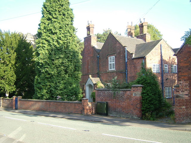


Donisthorpe, United Kingdom
Donisthorpe is a town of 1,886 people in England, United Kingdom.
Why visit Donisthorpe
Townapedia lists 4 museums and landmarks, 7 parks and trails, 9 places to eat and 2 places to stay in and around town.
Highlights include Moira Furnace Museum, Ashby de la Zouch Museum, Donisthorpe Woodland Park and Saltersford Wood.
Weather in Donisthorpe
Forecast from MET Norway (CC BY 4.0). Full forecast
About Donisthorpe
Donisthorpe is a village in the civil parish of Oakthorpe, Donisthorpe and Acresford, in the North West Leicestershire district of Leicestershire, England, historically an exclave of Derbyshire.
From the Wikipedia article Donisthorpe (this version), under CC BY-SA 4.0.
Photos of Donisthorpe


Museums and landmarks4


Ashby de la Zouch Museum
Museum · 3.3 mi
Local museum in Ashby de la Zouch, Leicestershire, United Kingdom

Parks, trails and playgrounds7






Restaurants and cafes9
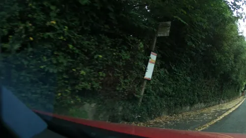
Halfway House
Bar and pub
65 Church Street, Swadlincote
Su-Th 12:00-23:00, Fr,Sa 12:00-24:00
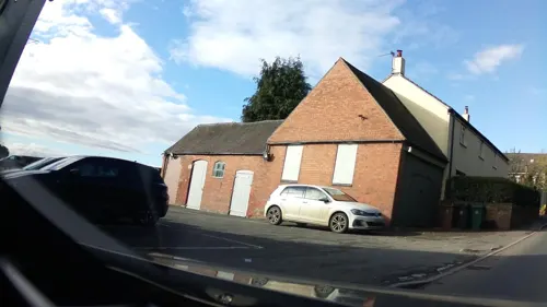


The Admiral Fish Bar
Fast food · Fish And Chips · 1.2 mi
7 Main Street, Swadlincote
Where to stay2


History
In 1086 Donisthorpe was part of the land given to Nigel of Stafford by William the Conqueror. It was then known as "Durandestorp" which has been interpreted as 'the outlying settlement associated with Durand'.
From: A Topographical Dictionary of England, published by S Lewis, London, 1848.
Read more of the history
DONISTHORPE, an ecclesiastical district, in the union of Ashby-de-la-Zouch, partly in the parish of Nether Seal, W. division of the hundred of Goscote, N. division of the county of Leicester, and partly in the parishes of Church-Gresley, Measham, and Stretton-en-le-Fields, hundred of Repton and Gresley, S. division of the county of Derby, 3½ miles (S. W.) from Ashby-de-la-Zouch; containing about 1700 inhabitants, of whom 344 are in the hamlet of Donisthorpe. The district includes Oakthorpe and Moira; the Moira baths are celebrated for the cure of rheumatism, and there is a convenient hotel for the accommodation of visitors. The living is a perpetual curacy, in the patronage of the Bishop of Lichfield; net income, £150, with a parsonage-house. The impropriate tithes of Donisthorpe have been commuted for £87. The church, dedicated to St. John, was built and endowed in 1838, at an expense of £6000, chiefly by three maiden ladies of the name of Moore; it is a neat edifice, with a tower and pinnacles. A national school was built in 1840, by Sir John Cave Browne Cave, Bart., by whom, also, it is supported
From: Kelly's Directory of Leicestershire & Rutland (1899) DONISTHORPE is a parish, formed in 1838, from the civil parishes of Church Gresley, Measham and Stretton-en-le-Field, and Ashby-de-la-Zouch and Seal, in Leicestershire, with a station on the Ashby and Nuneaton joint line of the Midland and London and North Western railways, 3 miles southwest from Ashby-de-la-Zouch, 8 southeast from Burton-upon-Trent and 114 northwest from London, in the Western division of the county, hundreds of Repton, Gresley and West Goscote, petty sessional division, union and county court district of Ashby-de-la-Zouch, rural deanery of Repton, archdeaconry of Derby and diocese of Southwell. Donisthorpe and Oakthorpe hamlets form a joint township in this ecclesiastical parish.
This parish, formerly in Derbyshire, was transferred to Leicestershire under the provisions of the Local Government (England and Wales) Act, 1888, by the counties of Derby and Leicester (Woodville &c.) Order, which came into operation Sept. 30, 1897.
The church of St John the Evangelist, erected in 1838, is a building of grey sandstone in the Perpendicular style, consisting of nave, west porch and an embattled western tower, with pinnacles, containing a clock and one bell: the nave was restored in 1889—90, and further restorations were effected in 1891, at a total cost of £700, and again in 1898: there are 500 sittings, 200 being free. The register dates from the year 1838. The living is a vicarage, net yearly value £214, including 17 acres of glebe, with residence, in the gift of the Bishop of Southwell, and held since 1885 by the Rev. Edward Bertram Lavies Theol. Assoc. K.C.L. Here are two Primitive Methodist chapels. A cemetery, containing 1 ½ acres was opened in 1875, and is under the control of the Parish Council of Oakthorpe and Donisthorpe and Urban District Council of Moira. There is a colliery, worked by Messrs. Checkland, Son and Williams, and the brewery of G. and W. F. Cooper. The principal landowners are the trustees of the late Lord Donington (d. 1895), Sir Mylles Cave-Brown-Cave bart. of Stretton-en-le-Field, the trustees of the late William Turner, Messrs. W. F. Cooper, S. Greaves, Drewry and some small freeholders. The soil is mixed; subsoil, chiefly clay. The chief crops are wheat, barley and oats. The area is 1,785 acres of land and 20 of water; rateable value, including Oakthorpe, £6,671; the population of the township in 1891 was 1,678, and of the parish 2,955.
National School (mixed), erected in 1830, for 82 children; average attendance, 82.
Wesleyan School (mixed), erected in 1875 & enlarged in 1894, for 142 children; average attendance, 130.A Primitive Methodist Chapel was built in 1852 and the Ordnance Survey map of 1884 shows one just north of the Engine Inn, the Mount Zion Chapel that was demolished in 2003. By 1908 there were two Primitive Methodist Chapels together with a Wesleyan chapel.
Donisthorpe Colliery was first sunk in 1871 and closed in 1991. It had the last steam winding engine still working in the Midlands which was recorded on its last working day by I.A. Recordings, listed in the External Links.
When the pit was operating the village had two post offices, five public houses, and 14 shops including a Coop Store (now the Scout Centre), a VG store, two butchers, a baker, a general store, a betting shop and a chip shop. At the time of pit closure in 1991 Donisthorpe contained four local shops, and a post office. Today the village has one shop (opened in 2014), and two pubs. Donisthorpe Miners' Welfare Centre closed during 2005, and since became a children's fun centre. The former mine site was developed into a housing estate. The colliery site became the Donisthorpe Woodland Park. Further sites of former employment included a shoe factory and brickyard.
From the History section of Donisthorpe on Wikipedia, under CC BY-SA 4.0.
More about Donisthorpe
Geography
Donisthorpe is 3 miles (5 km) south-west of Ashby-de-la-Zouch, 3.5 miles (6 km) south of Swadlincote and 1,000 yards (914 m) from the Derbyshire border, at the heart of The National Forest. A former mining village, it is just under 4 miles (6 km) due east of Church Flatts Farm (near Coton-in-the-Elms, Derbyshire), the furthest point from coastal waters on the British mainland.
The historic county boundary between Leicestershire and Derbyshire is the River Mease, which runs less than 1 mile (1.6 km) south of Donisthorpe, with the village centre previously on the southern (Derbyshire) side, which formed part of an exclave of Derbyshire. Together with Measham and Oakthorpe, the village became part of Leicestershire in 1897 when administrative counties were established and now lies within the civil parish of "Oakthorpe, Donisthorpe and Acresford".
The Derbyshire town of Swadlincote, four miles to the north, is usually given as the nearest town for the purposes of the postal service, though the village is marginally closer to Ashby, to the north-east. Surrounding villages include Moira, Oakthorpe, Overseal, Netherseal, Acresford and Albert Village.
From the Wikipedia article Donisthorpe, under CC BY-SA 4.0.
Notable people from Donisthorpe
 David GilbertEnglish snooker playerPhoto: Benutzer:Bill da Flute, CC BY-SA 3.0
 Thomas William MarshallEnglish painter (1875–1914)Photo: Henri Manuel, CC BY-SA 4.0
- Jeanne D'OrgeAmerican artist
Born in Donisthorpe, according to Wikidata (CC0). Each name links to its Wikipedia article.
Churches and places of worship13
Shopping2
Schools, colleges and libraries3
Map of Donisthorpe
40 places. The map loads OpenStreetMap tiles when you open it.
Getting there and nearby towns
East Midlands Airport (EMA) is the nearest airport with scheduled flights listed in OpenStreetMap, 11 miles away.
- Ashby-de-la-Zouch 3 mi northeast, about 5 min by car
- Swadlincote 4 mi north, about 6 min by car
- Ravenstone 6 mi east, about 9 min by car
- Burton upon Trent 7 mi northwest, about 12 min by car
- Coalville 7 mi east, about 11 min by car
- Tamworth 9 mi southwest, about 15 min by car
- Atherstone 10 mi south, about 17 min by car
- Findern 10 mi north, about 16 min by car
- Shepshed 11 mi east, about 17 min by car
- Sinfin 11 mi north, about 18 min by car
Drive times are estimates from straight-line distance, not routes.
Towns near Donisthorpe


Keep exploring
Local news
Headlines from INDB.
Reviews, tips and questions
Loading what members have shared...
Sources and licences
- GeoNames (CC BY 4.0): population, coordinates, regions and time zone
- Mapillary (see each image): photos
- OpenStreetMap contributors (ODbL 1.0): places, airports, map data
- Wikidata (CC0 1.0): elevation, founding date, time zone, website, landmarks and historic places
- Wikimedia Commons (see each image): photos
- Wikipedia (CC BY-SA 4.0): overview and history text
Photo credits
- Rooftops in Donisthorpe, Leicestershire, cris sloan, CC BY-SA 2.0
- Narrow Lane in Donisthorpe, Leicestershire, cris sloan, CC BY-SA 2.0
- Church Street, Donisthorpe, Leicestershire, cris sloan, CC BY-SA 2.0
- St John's Vicarage at Donisthorpe, Leicestershire, cris sloan, CC BY-SA 2.0
- The Grange on Church Street, Donisthorpe, Leicestershire, cris sloan, CC BY-SA 2.0
- The Turks Head public house, Donisthorpe, Leicestershire, cris sloan, CC BY-SA 2.0
- Hall Lane, Donisthorpe, Leicestershire, cris sloan, CC BY-SA 2.0
- Dog waste bin at Donisthorpe, Leicestershire, cris sloan, CC BY-SA 2.0
- The Engine Inn, Donisthorpe, Leicstershire, cris sloan, CC BY-SA 2.0
- Donisthorpe Woodlands Centre, Church Street, Donisthorpe, Leicestershire, cris sloan, CC BY-SA 2.0
- Bridge over Bramborough Brook, Donisthorpe, Leicestershire, cris sloan, CC BY-SA 2.0
- Saltersford Wood 8, Dudley Miles, CC BY-SA 4.0
- Ashby de la Zouch Holy Trinity Church, Russ Hamer, CC BY-SA 3.0
- Church Gresley Church St Geo and St Mary, RAY COFFEY, CC BY-SA 2.0
- Moira Furnace and bridge, TomtheTaleTeller, CC BY-SA 4.0
- 20190518ParkInfoBoard, LocalColour, CC BY-SA 4.0
- Leave Me Alone, Neil Johnson, CC BY 3.0
- 20190518AshbyWoulds Trail, LocalColour, CC BY-SA 4.0
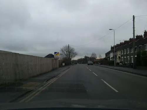
- Street-level photo, southglos, CC BY-SA 4.0
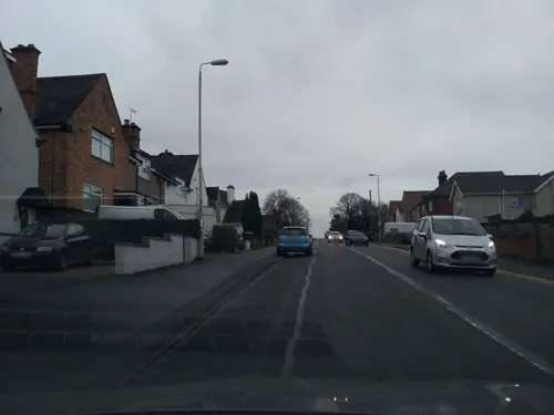
- Street-level photo, southglos, CC BY-SA 4.0
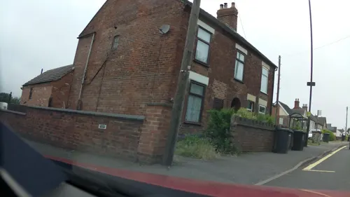
- Street-level photo, adam2, CC BY-SA 4.0
- Street-level photo, adam2, CC BY-SA 4.0
- Street-level photo, southglos, CC BY-SA 4.0
- Street-level photo, adam2, CC BY-SA 4.0
- Street-level photo, adam2, CC BY-SA 4.0
- Street-level photo, southglos, CC BY-SA 4.0
- Street-level photo, southglos, CC BY-SA 4.0
- Street-level photo, southglos, CC BY-SA 4.0
- Street-level photo, southglos, CC BY-SA 4.0


Page built November 10, 2026. Spotted a mistake? Tell us or suggest a place.