


Why visit Sinfin
Townapedia lists 10 museums and landmarks, 16 parks and trails, 64 places to eat, 2 places to stay and 8 attractions in and around town.
Highlights include Assembly Rooms, Derby Theatre, Derby Museum and Art Gallery and Derby War Memorial.
Weather in Sinfin
Forecast from MET Norway (CC BY 4.0). Full forecast
About Sinfin
Sinfin is a suburb of Derby, in Derbyshire, England, 3 miles (4.8 km) southwest of the city centre on its southern outskirts. The ward, which includes Osmaston as well as Sinfin itself, had a population of 15,128 in 2011. Historically, Sinfin and Osmaston were separate villages before being swallowed up by the expansion of Derby. Osmaston is characterised by inter-war housing developments while much of the housing in Sinfin is post-war.
From the Wikipedia article Sinfin (this version), under CC BY-SA 4.0.
Photos of Sinfin


Things to do8

Assembly Rooms
Cinema and theater · 2.9 mi
Theatre and multi-purpose venue in Derby, England


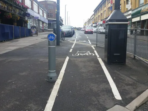
Grand Theatre
Cinema and theater · 2.6 mi
Former theatre in Derby, England, now a restaurant

Guildhall Theatre
Cinema and theater · 2.9 mi
Theatre in Derby, Derbyshire, England, UK


Museums and landmarks10

Derby Museum and Art Gallery
Museum · 2.9 mi
Museum and art gallery in Derby, England, United Kingdom

Derby War Memorial
Monument and historic site · 2.9 mi
War memorial in Derby, Derbyshire, England, UK

Midland Railway War Memorial
Monument and historic site · 2.5 mi
War memorial in Derby, England


Pickford's House
Museum · 2.9 mi
Historic house museum in Derby, United Kingdom

Swarkestone Bridge
Monument and historic site · 2.4 mi
Grade I listed bridge in Swarkestone, Derbyshire, England


Parks, trails and playgrounds16

The Sanctuary
Park · 2.8 mi
Bird and wildlife sanctuary and local nature reserve in Derby, England, UK

Railway Technical Centre
Park · 2.3 mi
Former technical headquarters of the British Railways Board; business park


4 more on the map.
Restaurants and cafes64
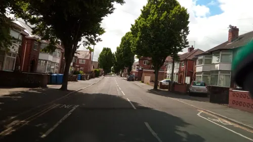
The Mumbai Barrel
Restaurant · Indian · 1.4 mi
174 Portland Street, Derby
Mo-Th 15:00-23:00; Fr 13:00-00:00; Sa 12:00-00:00; Su 12:00-22:00
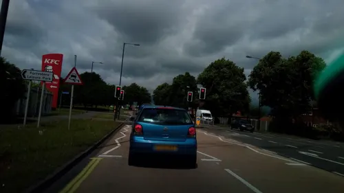
Costa Drive Thru
Cafe · Coffee Shop · 1.2 mi
Foresters Way, Derby
Mo-Fr 06:30-21:00; Sa 06:30-20:00; Su 07:00-19:00


52 more on the map.
History
Sinfin is recorded in the Domesday Book produced in 1086 as Sedenfeld as a manor that belonged to baron Henry de Ferrers. Mention is made of two carucates of land assessed to the geld; land for one plough and two villeins having another and of 6 acres (2.4 ha) of meadow. The land was valued at ten shillings. Its undertenant was named William, later William de Rolleston, a vassal to Henry de Ferrers, who displaced a Saxon thegn named Ulfkell. Today the Ferrers name is still seen in Sinfin.
Sinfin now has two distinct areas – the "new" and the "old"; it also merges with the Stenson Fields district of South Derbyshire to the south.
The "old" part is bordered to the north by the Derby – Crewe railway. Here, at the outset of WW2, was built a substantial ordnance depot. This was protected by a series of pillboxes, gun emplacements and barrage balloons. Most of this is now built over but some evidence remains.
It once had a railway passenger station — Sinfin Central railway station — at which passenger trains last called in May 1993.
From the History section of Sinfin on Wikipedia, under CC BY-SA 4.0.
More about Sinfin
Education
Secondary schools serving the Sinfin area include City of Derby Academy.
Primary schools serving the Sinfin area include Redwood Primary School, Ash Croft Primary Academy, Grampian Primary School, and Stenson Fields Primary School.
From the Wikipedia article Sinfin, under CC BY-SA 4.0.
Where to stay2
Churches and places of worship50
Shopping5
Gas and EV charging2
Schools, colleges and libraries22
Healthcare6
Map of Sinfin
185 places. The map loads OpenStreetMap tiles when you open it.
Getting there and nearby towns
East Midlands Airport (EMA) is the nearest airport with scheduled flights listed in OpenStreetMap, 7 miles away.
- Derby 3 mi north, about 5 min by car
- Chaddesden 4 mi northeast, about 6 min by car
- Burton upon Trent 8 mi southwest, about 13 min by car
- Ashby-de-la-Zouch 9 mi south, about 15 min by car
- Stapleford 9 mi east, about 15 min by car
- Belper 10 mi north, about 16 min by car
- Heanor 11 mi northeast, about 17 min by car
- Chilwell 11 mi east, about 17 min by car
- Ripley 11 mi north, about 18 min by car
- Eastwood 11 mi northeast, about 18 min by car
Drive times are estimates from straight-line distance, not routes.
Towns near Sinfin


Keep exploring
Local news
Headlines from INDB.
Reviews, tips and questions
Loading what members have shared...
Sources and licences
- GeoNames (CC BY 4.0): population, coordinates, regions and time zone
- Mapillary (see each image): photos
- OpenStreetMap contributors (ODbL 1.0): places, airports, map data
- Wikidata (CC0 1.0): elevation, founding date, time zone, website, landmarks and historic places
- Wikimedia Commons (see each image): photos
- Wikipedia (CC BY-SA 4.0): overview and history text
Photo credits
- Sinfin Moor Church showing cross and welcome board, Vincem8, CC BY-SA 3.0
- Xmas at asda sinfin, Victuallers, CC BY-SA 3.0
- Asda sinfin derby, Victuallers, CC BY-SA 3.0
- Asda line sinfin, Victuallers, CC BY-SA 3.0
- Asda sinfin frozen, Victuallers, CC BY-SA 3.0
- Ferrers arms Sinfin, Victuallers, CC BY-SA 3.0
- Asda sinfin, Victuallers, CC BY-SA 3.0
- Post in Sinfin, Victuallers, CC BY-SA 3.0
- Assembly Rooms Study, Dan Sellers, CC BY-SA 4.0
- Derby Theatre, Derby Theatre, CC BY-SA 3.0
- Exeter Bridge, Steve Bowen ( talk ), Public domain
- Derby Guildhall, Charlesdrakew, Public domain
- Derby Museum Flowers 2475926344 d64a8a8f6e o, Janet Roberts from UK, CC BY-SA 2.0
- Midland Railway War Memorial, Derby 10, Harry Mitchell, CC BY-SA 3.0
- Derby's Museum of Making, Matt Brown, CC BY 2.0
- Derby 41 Friar Gate (Pickford's House) 2012-12-10 (8261629423), sps1955 from UK, CC BY 2.0
- Stanton by Bridge 682646 fd93061e, Jerry Evans, CC BY-SA 2.0
- The Sanctuary (1), G105b, CC BY-SA 3.0
- St John the Evangelist Church, Derby (2), Harry Mitchell, CC BY-SA 3.0
- Boulton St Mary's Church 1, Markz55, Public domain
- Stanton by Bridge, St Michael, South Derbyshire, histman, CC BY 2.0
- St Thomas Church Normanton Derby, Victuallers, CC BY-SA 3.0
- Derby Moor Community Sports College, Moorway Lane, August 2013, Russ Hamer, CC BY-SA 3.0
- StStephensRH, Russ Hamer, CC BY-SA 3.0
- County Hotel infin, Russ Hamer, CC BY-SA 3.0
- PillboxRH, Russ Hamer, CC BY-SA 3.0
- Asda checkouts, Victuallers, CC BY-SA 3.0
- Underside of Friar Gate Bridge, JHMcGloin, CC BY-SA 4.0
- Saint Alkmunds Way Footbridge, TenthEagle Steve Bowen, CC BY-SA 3.0
- City of Derby - Derby War Memorial - 20240913102552, Acediscovery, CC BY-SA 4.0
- Street-level photo, southglos, CC BY-SA 4.0
- Street-level photo, victuallers, CC BY-SA 4.0
- Street-level photo, victuallers, CC BY-SA 4.0
- Street-level photo, southglos, CC BY-SA 4.0
- Street-level photo, tonys999, CC BY-SA 4.0
- Street-level photo, matth81, CC BY-SA 4.0
- Street-level photo, matth81, CC BY-SA 4.0
- Street-level photo, victuallers, CC BY-SA 4.0
- Street-level photo, matth81, CC BY-SA 4.0
- Street-level photo, southglos, CC BY-SA 4.0
- Street-level photo, southglos, CC BY-SA 4.0


Page built November 10, 2026. Spotted a mistake? Tell us or suggest a place.