


Why visit Findern
Townapedia lists 9 parks and trails, 23 places to eat, 4 places to stay and 1 attraction in and around town.
Highlights include Monks Bridge and Mercia Marina.
Weather in Findern
Forecast from MET Norway (CC BY 4.0). Full forecast
About Findern
Findern is a village and civil parish in the District of South Derbyshire, approximately 5–6 miles (9.7 km) south of Derby (Grid reference: SK309307). The population of the civil parish was 1,669 at the 2011 Census.
From the Wikipedia article Findern (this version), under CC BY-SA 4.0.
Things to do1

Monks Bridge
Bridge · 3.2 mi
Bridge across the River Dove between Stretton (Staffordshire) and Egginton (Derbyshire), in the United Kingdom
Parks, trails and playgrounds9




Restaurants and cafes23

The Bubble Inn
Bar and pub · 1.1 mi
Stenson Road, Derby
Mo-Tu 11:00-22:00; We 11:00-22:30; Th 11:00-23:00; Fr-Sa...

Been Coffee
Cafe · Coffee Shop · 0.9 mi
Independent, family-run coffee house
Etwall Road, Derby
Mo-Sa 07:00 - 17:30, Su 09:00 - 16:00
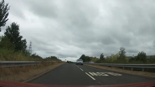
Boat Street
Cafe · Coffee Shop, Sandwich · 0.7 mi
Cafe on a narrowboat, with seats onboard and outside on the canalside.
Tu-Fr 10:00-14:00; Sa-Su 10:00-16:00
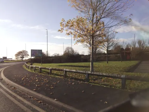
Farmhouse Kitchen
Restaurant · British · 1.0 mi
Etwall Road, Derby
Mo-Th 09:00-22:00; Fr-Sa 08:00-22:00; Su 08:00-22:00
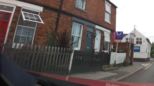
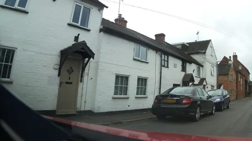
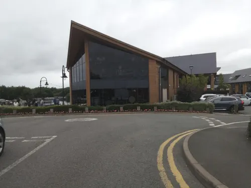
The Boardwalk Bar & Dining
Restaurant · 0.8 mi
Findern Lane, Derby
Mo-Th 10:30-22:00; Fr 10:30-23:00; Sa 10:00-23:00; Su 10:00-21:00
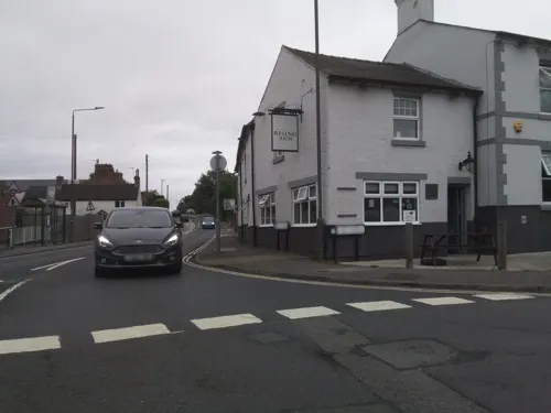
Toast Coffee House
Cafe · Coffee Shop · 1.4 mi
Cafe, breakfast, lunch, coffee.
5 The Green, Derby


11 more on the map.
Where to stay4

Churches and places of worship12
Shopping4
Gas and EV charging1
Schools, colleges and libraries3
Healthcare1
Map of Findern
58 places. The map loads OpenStreetMap tiles when you open it.
Getting there and nearby towns
East Midlands Airport (EMA) is the nearest airport with scheduled flights listed in OpenStreetMap, 9 miles away.
- Sinfin 3 mi east, about 4 min by car
- Derby 5 mi northeast, about 7 min by car
- Burton upon Trent 6 mi southwest, about 10 min by car
- Chaddesden 6 mi northeast, about 10 min by car
- Swadlincote 7 mi south, about 11 min by car
- Ashby-de-la-Zouch 9 mi south, about 15 min by car
- Belper 11 mi north, about 18 min by car
- Long Eaton 12 mi east, about 19 min by car
- Ilkeston 12 mi northeast, about 19 min by car
- Coalville 13 mi southeast, about 20 min by car
Drive times are estimates from straight-line distance, not routes.
Towns near Findern


Keep exploring
Local news
Headlines from INDB.
Reviews, tips and questions
Loading what members have shared...
Sources and licences
- GeoNames (CC BY 4.0): population, coordinates, regions and time zone
- Mapillary (see each image): photos
- OpenStreetMap contributors (ODbL 1.0): places, airports, map data
- Wikidata (CC0 1.0): elevation, founding date, time zone, website, landmarks and historic places
- Wikimedia Commons (see each image): photos
- Wikipedia (CC BY-SA 4.0): overview and history text
Photo credits
- Findern Derbyshire Church, moj_palmer, CC BY-SA 2.0
- Somerville House, Findern, Alan Murray-Rust, CC BY-SA 2.0
- Corner House, Findern, Alan Murray-Rust, CC BY-SA 2.0
- Etwall, St Helen, histman, CC BY 2.0
- Newton Solney St Mary's Church, Gammock, CC BY-SA 4.0
- Foremark, St Saviour, South Derbyshire, histman, CC BY 2.0
- Church of St Wystan, Repton, Tim Heaton, CC BY-SA 2.0
- 2021-04-10 Mercia Marina, Trent and Mersey Canal, Willington, Derbyshire, Malcolm Neal, CC BY-SA 2.0
- Stenson marina, User:Victuallers, CC BY-SA 1.0
- Stenson Bubble inn, User:Victuallers, CC BY-SA 1.0
- Coffee and egg butty, Been Coffee, Derby with Burton Services, Photograph by Mike Peel ( www.mikepeel.net )., CC BY-SA 4.0
- Street-level photo, southglos, CC BY-SA 4.0
- Street-level photo, southglos, CC BY-SA 4.0
- Street-level photo, southglos, CC BY-SA 4.0
- Street-level photo, southglos, CC BY-SA 4.0
- Street-level photo, southglos, CC BY-SA 4.0
- Street-level photo, jamestait, CC BY-SA 4.0
- Street-level photo, victuallers, CC BY-SA 4.0
- Street-level photo, southglos, CC BY-SA 4.0
- Street-level photo, southglos, CC BY-SA 4.0
- Street-level photo, southglos, CC BY-SA 4.0
- Street-level photo, southglos, CC BY-SA 4.0
- Street-level photo, southglos, CC BY-SA 4.0
- Street-level photo, southglos, CC BY-SA 4.0
- Street-level photo, southglos, CC BY-SA 4.0
- Street-level photo, southglos, CC BY-SA 4.0
- Street-level photo, ricorico, CC BY-SA 4.0
- Street-level photo, victuallers, CC BY-SA 4.0
- Street-level photo, southglos, CC BY-SA 4.0
- Street-level photo, southglos, CC BY-SA 4.0

Page built November 10, 2026. Spotted a mistake? Tell us or suggest a place.