
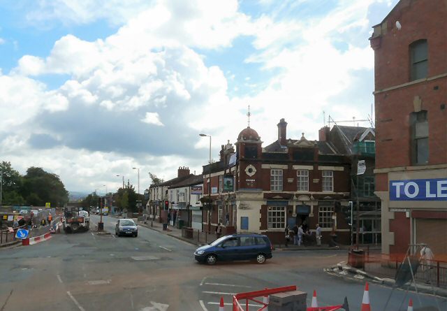


Droylsden, United Kingdom
Droylsden is a town of 23,689 people in England, United Kingdom.
Why visit Droylsden
Townapedia lists 13 museums and landmarks, 28 parks and trails, 73 places to eat, 3 places to stay and 6 attractions in and around town.
Highlights include Alhambra Theatre, Belle Vue Zoological Gardens, Ashton Under Lyne War Memorial and Brunswick Mill, Ancoats.
Weather in Droylsden
Forecast from MET Norway (CC BY 4.0). Full forecast
About Droylsden
Droylsden is a town in Tameside, Greater Manchester, England, 4 miles (6.4 km) east of Manchester city centre, with a population at the 2011 Census of 22,689.
From the Wikipedia article Droylsden (this version), under CC BY-SA 4.0.
Photos of Droylsden


Things to do6
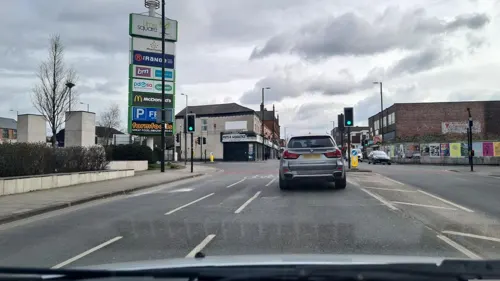
Alhambra Theatre
Cinema and theater · 0.9 mi
Former theatre and cinema in Openshaw, Manchester, England, later a bingo hall and sports venue

Belle Vue Zoological Gardens
Monument and historic site · 2.1 mi
Former zoo, amusement park, exhibition hall complex and speedway in Manchester, England
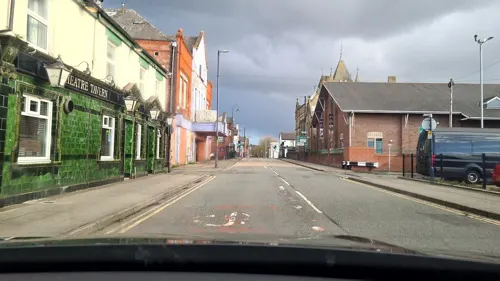
Tameside Hippodrome
Cinema and theater · 2.1 mi
Theatre and former cinema in Ashton-under-Lyne, Greater Manchester, England, UK

Theatre Royal
Cinema and theater · 3.4 mi
Former theatre and cinema in Hyde, Greater Manchester, England, UK

Hope Mill Theatre
Cinema and theater · 2.9 mi
Theatre in Manchester, UK
Queen's Park Hippodrome, Harpurhey
Cinema and theater · 3.4 mi
Former theatre in Harpurhey, Manchester, England
Museums and landmarks13

Ashton Under Lyne War Memorial
Monument and historic site · 2.4 mi
War memorial in Tameside, Greater Manchester, England, UK

Brunswick Mill, Ancoats
Monument and historic site · 2.9 mi
Grade II listed mill in Manchester, United Kingdom


Peacock Mausoleum
Monument and historic site · 1.7 mi
Mausoleum in Gorton, Manchester


Manchester Art Museum
Museum · 2.9 mi
Art museum in Manchester, England, UK (1877-1953)

1 more on the map.
Parks, trails and playgrounds28

Ardwick Green
Park · 3.3 mi
Public park in Ardwick, Manchester, England


Highfield Country Park
Park · 3.1 mi
Local Nature Reserve in Manchester, England



Clayton Vale
Park · 1.5 mi
Valley in Clayton, Manchester, England, UK

16 more on the map.
Restaurants and cafes73
Plaza
Restaurant · Indian · 1.1 mi
90 Audenshaw Road, Manchester
Mo-Th 16:00-23:00, Fr 16:00-00:00, Sa 13:00-24:00; Su 13:00-22:00
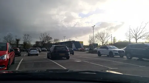
Bella Italia
Restaurant · Italian · 1.5 mi
Fold Way, Ashton-under-Lyne
Mo-Th 11:30-22:00; Fr-Sa 11:30-23:00; Su 11:30-22:00
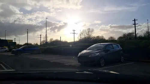
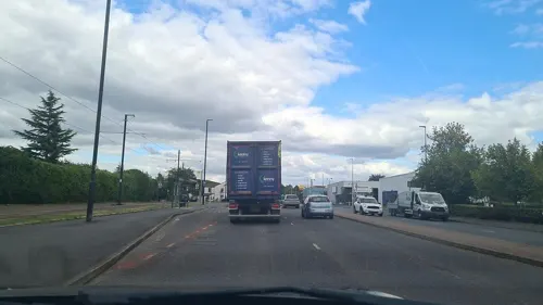
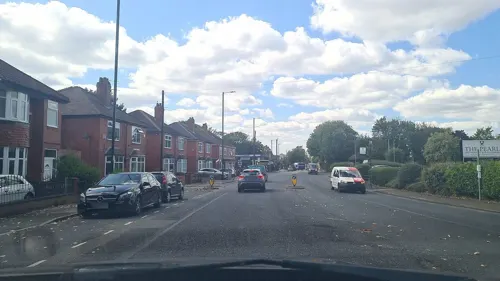
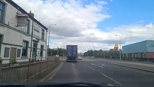
The Snipe
Bar and pub · 0.8 mi
387 Manchester Road, Manchester
Mo 17:00-20:00; Tu 17:00-23:30; We-Fr 16:00-24:00; Sa 12:00-24:00;...

Morrisons Cafe
Cafe · Coffee Shop · 0.9 mi
Ashton Old Road, Manchester
Mo-Sa 08:00-17:00; Su 10:00-16:00


61 more on the map.
History
Before Droylsden became a part of Greater Manchester, it was popularly referred to by Mancunians as "The Silly Country". One suggestion as to the source of that nickname is that once a year, some of the townsfolk used to watch an annual carnival by bringing a pig and sitting it on a wall to watch the passing entertainment with them. The Pig on the Wall public house, converted from a farm in 1978, takes its name from that story.
The first machine woven towel in the world – the terry towel – was produced by W. M. Christy and Sons of Fairfield Mills, in Droylsden, in 1851. William Miller Christy's son, Henry Christy, had brought back a looped towel from Turkey in the 1840s, which Christy's managed to copy on an adapted loom. Their Royal Turkish towels became famous, with Queen Victoria having a regular order. The mill closed at the end of the 1980s, and in 1997 Tesco opened a supermarket on the site.
Construction of a marina began in 2007, and was completed in 2012. The marina has 92 three and four-bedroom houses, and 291 one and two-bedroom apartments as well as waterside offices, restaurants, and shops.
From the History section of Droylsden on Wikipedia, under CC BY-SA 4.0.
More about Droylsden
Geography
Droylsden is located at 53°28′58″N 2°9′30″W (53.4826, −2.1582), about 4 miles (6 km) to the east of Manchester city centre, close to Ashton-under-Lyne, Failsworth, Clayton, Openshaw and Newton Heath.
Economy
During the 1930s, Droylsden's population expanded rapidly, as it became a housing overflow area for Manchester. Today the area is predominately occupied by employed home owners.
Robertson's Jam was a significant employer in the area. The factory was established in 1891, on the banks of the Ashton Canal, on Ashton Hill Lane. At its peak it employed around 1,000 workers; that number was reduced to around 400 before closing during 2008. The factory was demolished during the early part of 2010.
Arts and culture
The Droylsden Little Theatre has been running amateur productions since 1931.
Horror film production company Fade To Blood Films is based in Droylsden
Education
In January 2009, the closure of Droylsden School Mathematics and Computing College for Girls and Littlemoss High School for Boys was approved by Tameside Council. This was conditional on the Secretary of State signing an Academy Funding Agreement by 30 April 2009 for the two schools to be replaced by Droylsden Academy. Droylsden Academy, which was sponsored by Tameside College, opened in September 2009, in the existing buildings of the two former schools. The new Droylsden Academy building opened on the school site of Droylsden School Mathematics and Computing College for Girls in January 2012.
Fairfield High School for Girls was unaffected by these changes and has been granted Specialist Science College status.
Tameside College also operates a Local Learning Centre for adult learners in Droylsden.
From the Wikipedia article Droylsden, under CC BY-SA 4.0.
Notable people from Droylsden
 Howard DonaldBritish singer, songwriter, musician, dancer, DJ and producer (born 1968)Photo: Marc E., CC BY 2.0
 Jeff NoonBritish writerPhoto: Stuart, CC BY 2.0
 Harry PollittBritish communist (1890–1960)Photo: Howard Coster (1885–1959), CC0
 Charlie McNeillEnglish footballerPhoto: Timmy96, CC0
 Victor BroxBlues Musician (1940–2023)Photo: Informalmrtom, CC BY-SA 3.0
 Jason TaylorEnglish association football playerPhoto: Mattythewhite, CC BY-SA 3.0
 Eric EvansEnglish rugby union footballer (1921–1991)Photo: Unknown author Unknown author, CC0
- Eric StewartBritish musician
- Brian GreenEnglish footballer (1935–2012)
- Horace MossBritish theatre and music-hall manager (1852–1912)
- Allan RobertsBritish politician (1943-1990)
- Norman Frederick Charles IIIAustralian amateur wrestler
Born in Droylsden, according to Wikidata (CC0). Each name links to its Wikipedia article.
Where to stay3
Churches and places of worship45
Shopping9
Gas and EV charging4
Schools, colleges and libraries28
Healthcare4
Map of Droylsden
213 places. The map loads OpenStreetMap tiles when you open it.
Getting there and nearby towns
Manchester Airport (MAN) is the nearest airport with scheduled flights listed in OpenStreetMap, 11 miles away.
- Dukinfield 2 mi east, about 4 min by car
- Hollinwood 3 mi north, about 4 min by car
- Manchester 4 mi west, about 6 min by car
- Stalybridge 4 mi east, about 6 min by car
- Oldham 4 mi north, about 7 min by car
- Stockport 5 mi south, about 8 min by car
- Lees 5 mi northeast, about 8 min by car
- Salford 6 mi west, about 10 min by car
- Royton 6 mi north, about 10 min by car
- Prestwich 7 mi northwest, about 11 min by car
Drive times are estimates from straight-line distance, not routes.
Towns near Droylsden


Keep exploring
Local news
Headlines from INDB.
Reviews, tips and questions
Loading what members have shared...
Sources and licences
- GeoNames (CC BY 4.0): population, coordinates, regions and time zone
- Mapillary (see each image): photos
- OpenStreetMap contributors (ODbL 1.0): places, airports, map data
- Wikidata (CC0 1.0): elevation, founding date, time zone, website, landmarks and historic places
- Wikimedia Commons (see each image): photos
- Wikipedia (CC BY-SA 4.0): overview and history text
Photo credits
- DroysldenTownCentre, Gerald England, CC BY-SA 2.0
- Droylsden Independent Church, Greater Manchester, Rcchilds, CC BY-SA 4.0
- Droylsden Metrolink station, David Dixon, CC BY-SA 2.0
- Belle-Vue-guide-circa-late-1800s, Unknown Unknown, Public domain
- Theatre Royal, Hyde, Izzak, CC BY-SA 3.0
- Ashton-under-Lyne War Memorial (1), Rept0n1x, CC BY-SA 3.0
- Brunswick Mill 5217, Photograph by Clem Rutter, Rochester, Kent. ( www.clemrutter.net )., CC BY-SA 3.0
- 84 Plymouth Grove, Manchester, Photograph by Mike Peel ( www.mikepeel.net )., CC BY-SA 4.0
- Peacock Family Memorial, Brookfield Unitarian Church, Gorton, A. Carty ( talk ), CC BY-SA 3.0
- Rochdale Canal, Miles Platting, Mikey from Wythenshawe, Manchester, UK, CC BY 2.0
- Path near Dean Drook Broadhurst Clough, Sophiriel, CC BY-SA 4.0
- Highfield Country Park pond, Kurt Adkins, CC BY-SA 3.0
- Mayfield Park - Aerial Photo, Biguana99, CC BY-SA 4.0
- Stamford Park, Tameside (5), Rept0n1x, CC BY-SA 3.0
- Albion United Reformed Church, Ashton under Lyne, A. Carty ( talk ), CC BY-SA 3.0
- St Benedict's Church, Ardwick, David Dixon, CC BY-SA 2.0
- Church of All Souls, Manchester, Photograph by Mike Peel ( www.mikepeel.net )., CC BY-SA 4.0
- Gorton Monastery, Gorton, Mikey, CC BY 2.0
- Butcher's Arms Ground - October 2007, Jimbo online at English Wikipedia, Public domain
- Wright Robinson Sports College 2697980, David Dixon, CC BY-SA 2.0
- Clayton Hall, Clayton, Manchester, England in June 2023 01, Ridiculopathy, CC0
- Front college blue sky, Wrcollege, CC BY-SA 4.0
- 3024 - Holt Town, Mikey, CC BY 2.0
- Ardwick Green War Memorial, David Dixon, CC BY-SA 2.0
- Stannybrook road on daisy nook, Marc A Gibbs, CC BY-SA 4.0
- Street-level photo, mappo2, CC BY-SA 4.0
- Street-level photo, mappo2, CC BY-SA 4.0
- Street-level photo, mappo2, CC BY-SA 4.0
- Street-level photo, mappo2, CC BY-SA 4.0
- Street-level photo, mappo2, CC BY-SA 4.0
- Street-level photo, mappo2, CC BY-SA 4.0
- Street-level photo, mappo2, CC BY-SA 4.0
- Street-level photo, mappo2, CC BY-SA 4.0
- Street-level photo, mappo2, CC BY-SA 4.0
- Street-level photo, mappo2, CC BY-SA 4.0
- Street-level photo, mappo2, CC BY-SA 4.0
- Street-level photo, mappo2, CC BY-SA 4.0
- Street-level photo, mappo2, CC BY-SA 4.0
- Street-level photo, technicalfault, CC BY-SA 4.0
- Street-level photo, technicalfault, CC BY-SA 4.0
- Street-level photo, mappo2, CC BY-SA 4.0
- Street-level photo, mappo2, CC BY-SA 4.0
- Street-level photo, mappo2, CC BY-SA 4.0
- Street-level photo, mappo2, CC BY-SA 4.0
- Street-level photo, mappo2, CC BY-SA 4.0
- Street-level photo, mappo2, CC BY-SA 4.0


Page built November 10, 2026. Spotted a mistake? Tell us or suggest a place.