


Dulverton, United Kingdom
Dulverton is a town of 1,052 people in England, United Kingdom.
Why visit Dulverton
Townapedia lists 4 museums and landmarks, 1 park or trail, 11 places to eat, 6 places to stay and 4 attractions in and around town.
Highlights include Barle Bridge, Bury Bridge, Pixton Park and Barlynch Priory.
Weather in Dulverton
Forecast from MET Norway (CC BY 4.0). Full forecast
About Dulverton
Dulverton is a town and civil parish in west Somerset, England, near the border with Devon. The town had a population of 1,408 at the 2011 Census. The parish includes the hamlets of Battleton and Ashwick which is located approximately 4 miles (6.4 km) north west of Dulverton.
From the Wikipedia article Dulverton (this version), under CC BY-SA 4.0.
Travel tips from other travellers: Dulverton on Wikivoyage (CC BY-SA 4.0).
Photos of Dulverton

Things to do4


Bury Bridge
Bridge · 1.9 mi
Bridge in Brompton Regis, Somerset West and Taunton, Somerset, England, UK

Museums and landmarks4


Barlynch Priory
Monument and historic site · 1.1 mi
Priory in Somerset, England, UK

Parks, trails and playgrounds1

Restaurants and cafes11
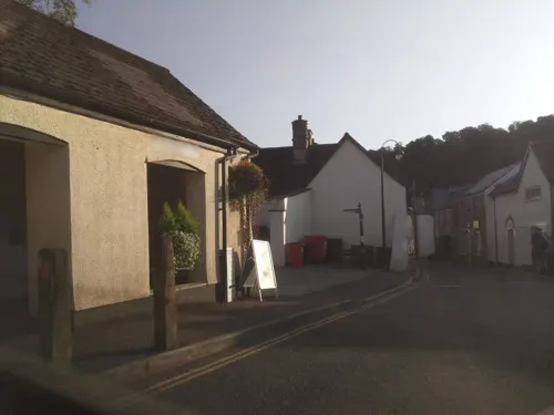
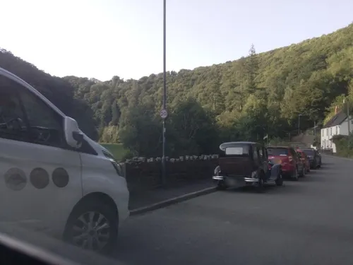
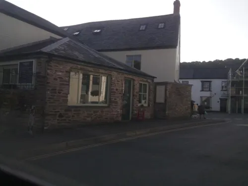




History
The town lies below the Iron Age hillforts of Oldberry Castle, Mounsey Castle and Brewer's Castle.
The manor was granted to the Turbervilles by William I and in the late 12th century they gave the church and some land to Taunton Priory. The remainder of the manor passed to the Shete family. The parish of Dulverton was part of the Williton and Freemanners Hundred.
The Middle Ages saw continued growth and the establishment of fairs and markets, with several small industries based upon the traditions of upland farming and the wool trade. These include related works such as laundries; originally used for the washing of sheep fleeces in the leats feeding the wide and fast-flowing River Barle, the surviving 19th-century industrial laundries continue to provide a service to surrounding businesses. The market house in Fore Street, which is believed to date from 1760, was re-modelled to become Dulverton Town Hall in 1866, with the porch and external double staircase being added in 1930 by Sir Albert Richardson.
Read more of the history
The manor of Dulverton was purchased in 1568 by the Sydenham family seated at Combe House, on the opposite side of the River Barle to Dulverton, a junior branch of the ancient de Sydenham family which originated at the manor of Sydenham, near Bridgwater in Somerset, of which other branches were seated in Somerset at Combe Sydenham, Orchard Sydenham (later called Orchard Wyndham) and Brympton d'Evercy, which latter remained the seat of the Sydenham baronets, which title was created in 1641. In 1858 the Sydenhams sold the manor to the Earl of Carnarvon of Pixton Park, Dulverton. George Sydenham Clarke, 1st Baron Sydenham of Combe (1848–1933) took his title from Combe, Dulverton.
Exmoor House was built as the Dulverton Union Workhouse in 1855. It is now the headquarters of the Exmoor National Park Authority.
Dr Charles Palk Collyns (1793–1864) set up as a surgeon and apothecary in Dulverton in 1814. Dr Collyns moved into Bilboa House in 1820, where he authored The Chase of the Wild Red Deer; his grave stone is located at All Saints' Church in Dulverton.
Private housing stock generally ranges from medium-size to substantial Georgian to late Victorian family houses, with a small estate of post-war modern houses and bungalows to the east of the town centre.
From the History section of Dulverton on Wikipedia, under CC BY-SA 4.0.
More about Dulverton
Geography
The town lies in the deep, wooded valley of the River Barle, at an ancient route convergence and river crossing. The river and the Barle Valley are both designated as biological Site of Special Scientific Interest. The river passes under the Tarr Steps, a prehistoric clapper bridge possibly dating from 1000 BC. The stone slabs weigh up to 5 tons each. According to local legend, they were placed by the devil to win a bet. The bridge is 180 feet (55 m) long and has 17 spans. It has been designated by English Heritage as a grade I listed building. The other bridges over the Barle include the five span Barle Bridge which is medieval in origin. It has double rings on the downstream side and single rings on the upstream side. It was repaired in 1624, and subsequently widened in 1819 by John Stone. It was further repaired in 1866 and in 1952–1953 after flood damage. The 18th-century Marsh Bridge was altered in 1866 when the central pier was removed and an iron bridge inserted. The parapet was destroyed in 1952 and reconstructed in steel in 1979. Towards Brushford the River Barle is crossed by the New Bridge dating from 1870, which led to Pixton Park, which was the home of John Dyke Acland and his wife Harriet Acland and later the family of Evelyn Waugh and Auberon Waugh.
From the Wikipedia article Dulverton, under CC BY-SA 4.0.
Notable people from Dulverton
 Bill EmmottBritish journalistPhoto: International Journalism Festival..., CC BY-SA 2.0
- Auberon WaughEnglish author
- John NelderBritish statistician (1924-2010)
- Phil Rookesfootballer (1919-2003)
Born in Dulverton, according to Wikidata (CC0). Each name links to its Wikipedia article.
Where to stay6
Churches and places of worship6
Shopping2
Gas and EV charging3
Schools, colleges and libraries3
Healthcare1
Map of Dulverton
41 places. The map loads OpenStreetMap tiles when you open it.
Getting there and nearby towns
Exeter Airport (EXT) is the nearest airport with scheduled flights listed in OpenStreetMap, 22 miles away.
- Tiverton 10 mi south, about 16 min by car
- Minehead 12 mi north, about 19 min by car
- Taunton 20 mi east, about 31 min by car
- Exeter 22 mi south, about 35 min by car
- Barnstaple 22 mi west, about 36 min by car
- Honiton 23 mi southeast, about 37 min by car
- Bridgwater 25 mi east, about 39 min by car
- Llantwit Major 26 mi north, about 41 min by car
- Barry 27 mi northeast, about 44 min by car
- Burnham-on-Sea 28 mi northeast, about 44 min by car
Drive times are estimates from straight-line distance, not routes.
Towns near Dulverton


Keep exploring
Local news
Headlines from INDB.
Reviews, tips and questions
Loading what members have shared...
Sources and licences
- GeoNames (CC BY 4.0): population, coordinates, regions and time zone
- Mapillary (see each image): photos
- OpenStreetMap contributors (ODbL 1.0): places, airports, map data
- Wikidata (CC0 1.0): elevation, founding date, time zone, website, landmarks and historic places
- Wikimedia Commons (see each image): photos
- Wikipedia (CC BY-SA 4.0): overview and history text
Photo credits
- Lion Hotel, Dulverton, Simon Burchell, CC BY-SA 4.0
- Dulverton Market Hall, Simon Burchell, CC BY-SA 4.0
- Dulverton bridge, Brian Green, CC BY-SA 2.0
- BuryExmoor, Mark Robinson from Williton, UK, CC BY 2.0
- St. George's Church, Morebath 01, Simon Burchell, CC BY-SA 4.0
- All Saints' Church, Dulverton 02, Simon Burchell, CC BY-SA 4.0
- PixtonPark Dulverton Somerset, Lobsterthermidor ( talk ) 21:33, 30 August 2018 (UTC), CC BY-SA 3.0
- All Saints, Dulverton, Somerset (2866554658), Robert Cutts from Bristol, England, UK, CC BY 2.0
- Street-level photo, southglos, CC BY-SA 4.0
- Street-level photo, southglos, CC BY-SA 4.0
- Street-level photo, southglos, CC BY-SA 4.0
- Street-level photo, southglos, CC BY-SA 4.0
- Street-level photo, southglos, CC BY-SA 4.0
- Street-level photo, southglos, CC BY-SA 4.0
Page built November 10, 2026. Spotted a mistake? Tell us or suggest a place.