


East Ayton, United Kingdom
East Ayton is a town of 2,559 people in England, United Kingdom.
Why visit East Ayton
Townapedia lists 6 museums and landmarks, 4 parks and trails, 6 places to eat, 3 places to stay and 4 attractions in and around town.
Highlights include Capitol, Stephen Joseph Theatre, Woodend Museum of Natural History and Ayton Castle.
Weather in East Ayton
Forecast from MET Norway (CC BY 4.0). Full forecast
About East Ayton
East Ayton is a village and civil parish in the county of North Yorkshire, England.
From the Wikipedia article East Ayton (this version), under CC BY-SA 4.0.
Things to do4

Capitol
Cinema and theater · 3.4 mi
Former cinema and theatre in Scarborough, England, now a bingo hall

Stephen Joseph Theatre
Cinema and theater · 3.3 mi
Theatre in Scarborough, England, a former cinema

Museums and landmarks6
Woodend Museum of Natural History
Museum · 3.3 mi
Museum building in Scarborough, North Yorkshire, England, UK



Scarborough War Memorial
Monument and historic site · 3.0 mi
War memorial in Scarborough, North Yorkshire, England, UK
Parks, trails and playgrounds4
Valley Gardens and South Cliff Gardens
Park · 3.4 mi
Park in Scarborough, North Yorkshire, England

Forge Valley
Park · 1.2 mi
Valley and nature reserve in North Yorkshire, England, UK

Restaurants and cafes6
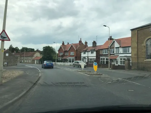
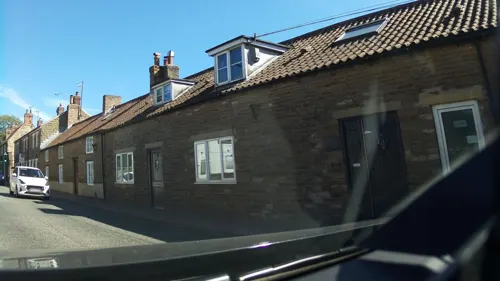
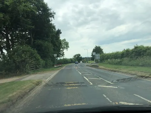
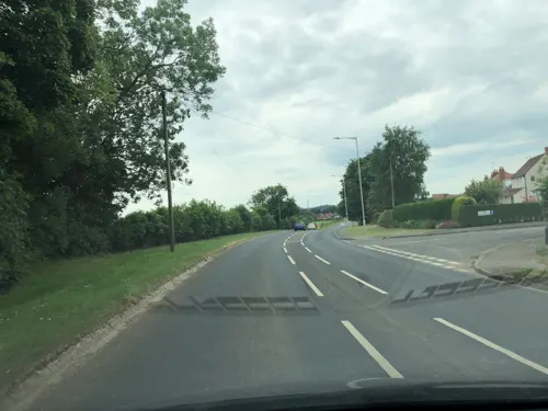
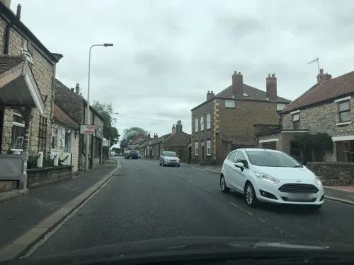
East Ayton Fisheries
Fast food · Fish And Chips · 0.4 mi
33 Main Street, East Avton
We-Sa 16:30-19:30, Fr 11:30-13:30
Notable people from East Ayton
- Philip Cunliffe-Lister, 1st Earl of SwintonBritish politician
Born in East Ayton, according to Wikidata (CC0). Each name links to its Wikipedia article.
Where to stay3
Churches and places of worship17
Schools, colleges and libraries2
Derwent Valley Community Library & Resource Centre
Library · 0.6 mi
Pickering Road, West Ayton
Healthcare1
Map of East Ayton
43 places. The map loads OpenStreetMap tiles when you open it.
Getting there and nearby towns
Teesside International Airport (MME) is the nearest airport with scheduled flights listed in OpenStreetMap, 42 miles away.
- Scarborough 3 mi northeast, about 5 min by car
- Burniston 5 mi north, about 8 min by car
- Hunmanby 8 mi southeast, about 13 min by car
- Thornton Dale 10 mi west, about 16 min by car
- Rillington 11 mi southwest, about 18 min by car
- Bempton 15 mi southeast, about 24 min by car
- Bridlington 16 mi southeast, about 27 min by car
- Sleights 16 mi northwest, about 25 min by car
- Whitby 17 mi north, about 27 min by car
- Driffield 17 mi south, about 28 min by car
Drive times are estimates from straight-line distance, not routes.
Towns near East Ayton


Keep exploring
Local news
Headlines from INDB.
Reviews, tips and questions
Loading what members have shared...
Sources and licences
- GeoNames (CC BY 4.0): population, coordinates, regions and time zone
- Mapillary (see each image): photos
- OpenStreetMap contributors (ODbL 1.0): places, airports, map data
- Wikidata (CC0 1.0): elevation, founding date, time zone, website, landmarks and historic places
- Wikimedia Commons (see each image): photos
- Wikipedia (CC BY-SA 4.0): overview and history text
Photo credits
- St John the Baptist East Ayton 1 (Nigel Coates), Nigel Coates ( talk ), CC BY-SA 3.0
- Capitol Cinema (former) (28459699895), Tim Green from Bradford, CC BY 2.0
- The Stephen Joseph Theatre in Scarborough, Daantje van Delft, CC BY-SA 3.0
- Albemarle Baptist Church, Scarborough, Rcsprinter123, CC BY 3.0
- St Matthews Church Hutton Bascel, Patricia Steel, CC BY-SA 2.0
- Ayton Castle, Alison Stamp, CC BY-SA 2.0
- Spa Footbridge seen from Valley Bridge - panoramio, Immanuel Giel, CC BY 3.0
- Street-level photo, IpswichEdits, CC BY-SA 4.0
- Street-level photo, southglos, CC BY-SA 4.0
- Street-level photo, southglos, CC BY-SA 4.0
- Street-level photo, southglos, CC BY-SA 4.0
- Street-level photo, lamaar639, CC BY-SA 4.0
- Street-level photo, southglos, CC BY-SA 4.0
- Street-level photo, dcp, CC BY-SA 4.0
- Street-level photo, southglos, CC BY-SA 4.0
- Street-level photo, locator, CC BY-SA 4.0
- Street-level photo, locator, CC BY-SA 4.0
- Street-level photo, locator, CC BY-SA 4.0
- Street-level photo, locator, CC BY-SA 4.0
- Street-level photo, southglos, CC BY-SA 4.0
- Street-level photo, locator, CC BY-SA 4.0
- Street-level photo, locator, CC BY-SA 4.0
- Street-level photo, southglos, CC BY-SA 4.0
Page built November 10, 2026. Spotted a mistake? Tell us or suggest a place.