


Rillington, United Kingdom
Rillington is a town of 1,114 people in England, United Kingdom.
Why visit Rillington
Townapedia lists 2 museums and landmarks, 1 park or trail, 3 places to eat and 1 attraction in and around town.
Highlights include Scampston Bridge and Scampston Hall.
Weather in Rillington
Forecast from MET Norway (CC BY 4.0). Full forecast
About Rillington
Rillington is a village and civil parish in North Yorkshire, England.
From the Wikipedia article Rillington (this version), under CC BY-SA 4.0.
Things to do1
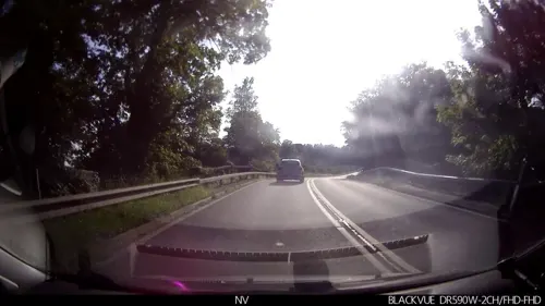
Scampston Bridge
Bridge · 0.9 mi
Bridge in Scampston, Ryedale, North Yorkshire, England, UK
Museums and landmarks2

Scampston Hall
Museum · 1.0 mi
Country house in North Yorkshire, England, UK

Parks, trails and playgrounds1

Restaurants and cafes3

More about Rillington
Education
The village is served by Rillington Community Primary School. It also falls within the catchment area for Norton College.
Friends of Rillington School is a registered charity that raises funds for the Primary School.
From the Wikipedia article Rillington, under CC BY-SA 4.0.
Churches and places of worship11
Schools, colleges and libraries1
Map of Rillington
19 places. The map loads OpenStreetMap tiles when you open it.
Getting there and nearby towns
Teesside International Airport (MME) is the nearest airport with scheduled flights listed in OpenStreetMap, 39 miles away.
- Thornton Dale 5 mi north, about 9 min by car
- Sheriff Hutton 13 mi west, about 22 min by car
- Scarborough 14 mi northeast, about 23 min by car
- Driffield 15 mi southeast, about 23 min by car
- Haxby 18 mi southwest, about 29 min by car
- York 21 mi southwest, about 34 min by car
- Bridlington 21 mi east, about 34 min by car
- Skelton 21 mi southwest, about 34 min by car
- Whitby 23 mi north, about 37 min by car
- Beverley 24 mi southeast, about 39 min by car
Drive times are estimates from straight-line distance, not routes.
Towns near Rillington


Keep exploring
Local news
Headlines from INDB.
Reviews, tips and questions
Loading what members have shared...
Sources and licences
- GeoNames (CC BY 4.0): population, coordinates, regions and time zone
- Mapillary (see each image): photos
- OpenStreetMap contributors (ODbL 1.0): places, airports, map data
- Wikidata (CC0 1.0): elevation, founding date, time zone, website, landmarks and historic places
- Wikimedia Commons (see each image): photos
- Wikipedia (CC BY-SA 4.0): overview and history text
Photo credits
- St Andrews Church Rillington 1907 (archive ref PO-1-110-3) (33050730132), East Riding Archives, CC0
- St Andrews Church Rillington 1 (Nigel Coates), Nigel Coates ( talk ), CC BY-SA 3.0
- All Saints Church, Thorpe Bassett, Stephen Horncastle, CC BY-SA 2.0
- Scampston Hall 1, Peter Mattock, CC BY-SA 2.0
- Street-level photo, lamaar639, CC BY-SA 4.0
- Street-level photo, lamaar639, CC BY-SA 4.0
- Street-level photo, aidan573, CC BY-SA 4.0
- Street-level photo, lamaar639, CC BY-SA 4.0
Page built November 10, 2026. Spotted a mistake? Tell us or suggest a place.