

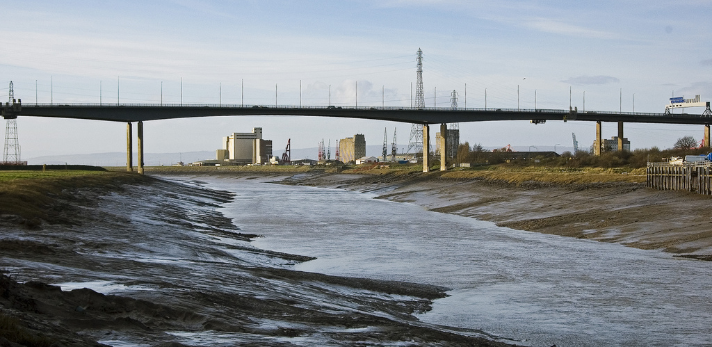


Easton-in-Gordano, United Kingdom
Easton-in-Gordano is a town of 4,824 people in England, United Kingdom.
Why visit Easton-in-Gordano
Townapedia lists 10 museums and landmarks, 14 parks and trails, 33 places to eat, 1 place to stay and 5 attractions in and around town.
Highlights include Avonmouth Bridge, Iron Footbridge Over Kings Weston Road, Ashton Court and Bewys Cross.
Weather in Easton-in-Gordano
Forecast from MET Norway (CC BY 4.0). Full forecast
About Easton-in-Gordano
Easton in Gordano () is a village in Somerset, England, about 4+1⁄2 miles (7 km) northwest of Bristol city centre. It is part of the civil parish of Pill and Easton-in-Gordano and within the unitary authority of North Somerset. In 2011 the population of the parish was 4,828.
From the Wikipedia article Easton in Gordano (this version), under CC BY-SA 4.0.
Photos of Easton-in-Gordano


Things to do5

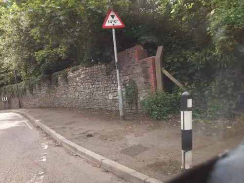
Iron Footbridge Over Kings Weston Road
Bridge · 2.2 mi
Footbridge in City of Bristol, England, UK

Portishead Point lighthouse
Lighthouse · 3.3 mi
Lighthouse in Somerset, England

Museums and landmarks10

Ashton Court
Museum · 3.1 mi
Mansion house and estate to the west of Bristol in England
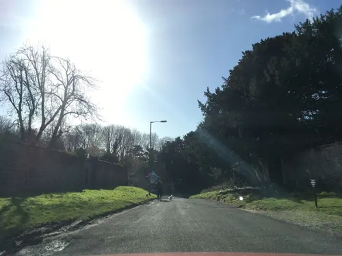
Bewys Cross
Monument and historic site · 2.2 mi
Monumental cross in Shirehampton, Bristol, England, UK

Kings Weston Roman Villa
Monument and historic site · 1.8 mi
Ancient Roman structure in City of Bristol, South West England, England, UK

Tyntesfield
Museum · 2.5 mi
Grade I listed historic house museum in North Somerset, England, UK

Parks, trails and playgrounds14



Blaise Castle Estate
Park · 3.2 mi
Parkland surrounding Blaise Castle near Henbury in Bristol, England, UK



2 more on the map.
Restaurants and cafes33
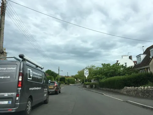
The Priory
Bar and pub · 1.0 mi
Station Road, Bristol
Mo-Fr 11:00-23:00; Sa 09:00-23:00; Su 09:00-22:00
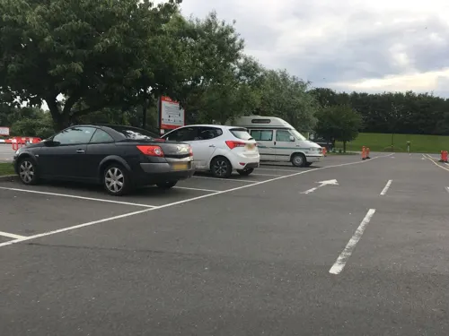
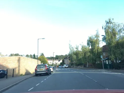
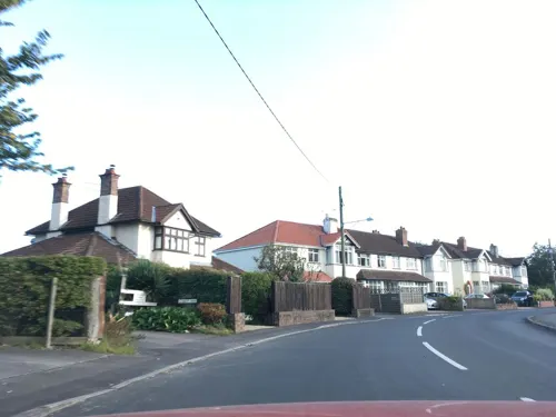
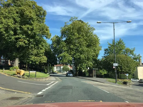



21 more on the map.
History
A settlement of 24 households was recorded in the Domesday Book of 1086; for many centuries it was also known as St George. The name Gordano comes from Old English and is descriptive of the triangular shape of the whole valley from Clevedon to Portishead, being the ablative singular of the Latinised form of Gorden meaning muddy valley.
Easton in Gordano was an ancient parish in the Portbury Hundred. The parish also included the village of Pill. It became a civil parish in 1866.
After the Second World War a large housing development grew up in the Lodway area, northwest of Pill village. Construction of the M5 motorway included the nearby Gordano service area.
From the History section of Easton in Gordano on Wikipedia, under CC BY-SA 4.0.
More about Easton-in-Gordano
Geography
Easton in Gordano is at the north-eastern end of the Gordano Valley, on the south bank of the Avon, opposite Shirehampton, adjacent to the village of Pill. It commands an extensive view over the Bristol Channel; South Wales and Royal Portbury Dock are also clearly visible. Part of the dock is within the parish.
St George's Flower Bank is a 1.48 hectares (3.7 acres) local nature reserve alongside a main road.
Arts and culture
The local Clevedon Mercury and Portishead Times newspapers are delivered to residents free of charge, usually by Saturday morning.
The village is celebrated in the song of the same name by The Wurzels.
From the Wikipedia article Easton in Gordano, under CC BY-SA 4.0.
Notable people from Easton-in-Gordano
 William BattenEnglish naval officerPhoto: Willem van de Velde the Elder, Public domain
- Paul CheesleyEnglish footballer (born 1953)
- George MirehouseEnglish cricketer (1863-1923)
Born in Easton-in-Gordano, according to Wikidata (CC0). Each name links to its Wikipedia article.
Where to stay1
Churches and places of worship18
Shopping4
Gas and EV charging5
Schools, colleges and libraries8
Avonmouth Church of England Primary School and Nursery
School · Anglican · 1.4 mi
Catherine Street, Bristol
Healthcare5
Map of Easton-in-Gordano
103 places. The map loads OpenStreetMap tiles when you open it.
Getting there and nearby towns
Bristol Airport (BRS) is the nearest airport with scheduled flights listed in OpenStreetMap, 6 miles away.
- Portishead 3 mi west, about 5 min by car
- Long Ashton 4 mi southeast, about 6 min by car
- Nailsea 4 mi southwest, about 6 min by car
- Bristol 5 mi east, about 8 min by car
- Severn Beach 6 mi north, about 10 min by car
- Clevedon 7 mi west, about 12 min by car
- Stoke Gifford 7 mi east, about 12 min by car
- Pilning 7 mi north, about 10 min by car
- Winford 7 mi south, about 11 min by car
- Kingswood 8 mi east, about 14 min by car
Drive times are estimates from straight-line distance, not routes.
Towns near Easton-in-Gordano


Keep exploring
Local news
Headlines from INDB.
Reviews, tips and questions
Loading what members have shared...
Sources and licences
- GeoNames (CC BY 4.0): population, coordinates, regions and time zone
- Mapillary (see each image): photos
- OpenStreetMap contributors (ODbL 1.0): places, airports, map data
- Wikidata (CC0 1.0): elevation, founding date, time zone, website, landmarks and historic places
- Wikimedia Commons (see each image): photos
- Wikipedia (CC BY-SA 4.0): overview and history text
Photo credits
- St George's Church Easton-in-Gordano - panoramio, BarnabyKirsen, CC BY 3.0
- 040424 026 avonmouth, April 2004, by Joe D ., CC BY-SA 1.0
- Battery Point lighthouse, Portishead, England arp, Myself ( Adrian Pingstone )., Public domain
- Ashton Court Mansion, Linda Bailey, CC BY-SA 2.0
- Roman Villa Long Cross B, Hamburg103a, CC BY-SA 4.0
- Tyntesfield 2, Chilli Head from Weston-super-Mare, UK, CC BY 2.0
- WraxallAllSaintsChurch, ChurchCrawler, CC BY-SA 2.0
- Church of St Peter Portishead, Rodw, Public domain
- Portbury church, ChurchCrawler, CC BY-SA 2.0
- Giraffe enclosure - Noah's Ark Zoo Farm, Marie Hale, CC BY 2.0
- Lych Gate To Churchyard Of Church Of St Mary Magdalene, Hamburg103a, CC BY-SA 4.0
- Gravestone in St George's Church - panoramio, BarnabyKirsen, CC BY 3.0
- Easton Church - panoramio, BarnabyKirsen, CC BY 3.0
- Boat on Pill Foreshore - DSC 0175, Tadeusz Hare, CC BY-SA 4.0
- Street-level photo, southglos, CC BY-SA 4.0
- Street-level photo, southglos, CC BY-SA 4.0
- Street-level photo, southglos, CC BY-SA 4.0
- Street-level photo, southglos, CC BY-SA 4.0
- Street-level photo, southglos, CC BY-SA 4.0
- Street-level photo, southglos, CC BY-SA 4.0
- Street-level photo, southglos, CC BY-SA 4.0
- Street-level photo, southglos, CC BY-SA 4.0
- Street-level photo, southglos, CC BY-SA 4.0
- Street-level photo, southglos, CC BY-SA 4.0
- Street-level photo, southglos, CC BY-SA 4.0
- Street-level photo, southglos, CC BY-SA 4.0
- Street-level photo, southglos, CC BY-SA 4.0
- Street-level photo, southglos, CC BY-SA 4.0
- Street-level photo, southglos, CC BY-SA 4.0
- Street-level photo, southglos, CC BY-SA 4.0


Page built November 10, 2026. Spotted a mistake? Tell us or suggest a place.