


Why visit Pilning
Townapedia lists 5 museums and landmarks, 2 parks and trails, 7 places to eat, 2 places to stay and 2 attractions in and around town.
Highlights include Prince of Wales Bridge, Severn Bridge and Bristol Zoo Project.
Weather in Pilning
Forecast from MET Norway (CC BY 4.0). Full forecast
About Pilning
Pilning is a village in South Gloucestershire, England, close to Redwick and Severn Beach. Pilning is close to the M4, M49 and A403 roads, and has the South Wales Main Line railway running through it, with a minor station.
From the Wikipedia article Pilning (this version), under CC BY-SA 4.0.
Things to do2

Prince of Wales Bridge
Bridge · 2.6 mi
M4 motorway bridge over the Severn Estuary in the United Kingdom

Severn Bridge
Bridge · 3.2 mi
Suspension bridge in Gloucestershire, England
Museums and landmarks5
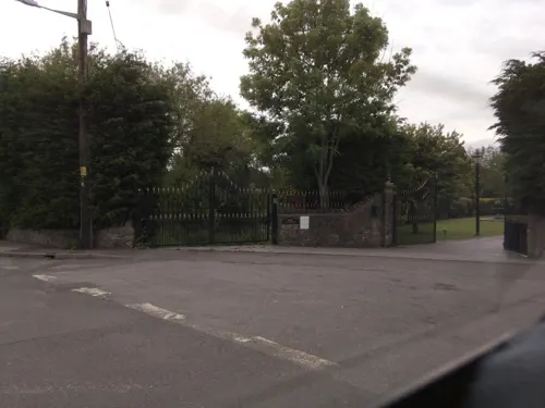

Old Sea Bank
Monument and historic site · 0.9 mi
Visible as long shallow banks, 350m long just north of Gilslake Fm, and 130m north from Chequers Fm. Medieval or post-Medieval flood...
Parks, trails and playgrounds2

Bristol Zoo Project
Park · 2.6 mi
Wildlife conservation park in South Gloucestershire, England

Restaurants and cafes7
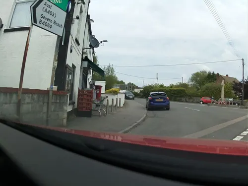
The Old Cross Hands Restaurant
Restaurant
Cross Hands Road, Pilning



Where to stay2
Churches and places of worship3
Schools, colleges and libraries3
Map of Pilning
24 places. The map loads OpenStreetMap tiles when you open it.
Getting there and nearby towns
Bristol Airport (BRS) is the nearest airport with scheduled flights listed in OpenStreetMap, 13 miles away.
- Stoke Gifford 5 mi southeast, about 9 min by car
- Chepstow 6 mi north, about 9 min by car
- Thornbury 6 mi northeast, about 10 min by car
- Bristol 8 mi south, about 12 min by car
- Mangotsfield 8 mi southeast, about 13 min by car
- Portishead 8 mi southwest, about 13 min by car
- Kingswood 10 mi southeast, about 15 min by car
- Yate 10 mi east, about 16 min by car
- Nailsea 10 mi southwest, about 17 min by car
- Keynsham 12 mi southeast, about 19 min by car
Drive times are estimates from straight-line distance, not routes.
Towns near Pilning


Keep exploring
Local news
Headlines from INDB.
Reviews, tips and questions
Loading what members have shared...
Sources and licences
- GeoNames (CC BY 4.0): population, coordinates, regions and time zone
- Mapillary (see each image): photos
- OpenStreetMap contributors (ODbL 1.0): places, airports, map data
- Wikidata (CC0 1.0): elevation, founding date, time zone, website, landmarks and historic places
- Wikimedia Commons (see each image): photos
- Wikipedia (CC BY-SA 4.0): overview and history text
Photo credits
- New severn bridge best 750pix, Unknown author, Public domain
- Fixing you with his predatory gaze, Charlie Marshall, CC BY 2.0
- FIGURINE, Bristol City Council, Kurt Adams, 2021-03-04 14:24:28, CC BY 2.0
- Under Severn Bridge, Krooczek, CC BY-SA 3.0
- Street-level photo, southglos, CC BY-SA 4.0
- Street-level photo, ndm, CC BY-SA 4.0
- Street-level photo, southglos, CC BY-SA 4.0
- Street-level photo, southglos, CC BY-SA 4.0
- Street-level photo, southglos, CC BY-SA 4.0
- Street-level photo, southglos, CC BY-SA 4.0
- Street-level photo, southglos, CC BY-SA 4.0
- Street-level photo, southglos, CC BY-SA 4.0
Page built November 10, 2026. Spotted a mistake? Tell us or suggest a place.