


Severn Beach, United Kingdom
Severn Beach is a town of 2,182 people in England, United Kingdom.
Why visit Severn Beach
Townapedia lists 5 museums and landmarks, 2 parks and trails, 6 places to eat, 2 places to stay and 1 attraction in and around town.
Highlights include Prince of Wales Bridge and Bristol Zoo Project.
Weather in Severn Beach
Forecast from MET Norway (CC BY 4.0). Full forecast
About Severn Beach
Severn Beach is a village on the Severn Estuary in South Gloucestershire, England. The eastern portal of the Severn Tunnel is on the outskirts of the village. The Severn footpath – on the sea wall – is part of the Severn Way, a 224-mile footpath that leads from Gloucester, Slimbridge and the Second Severn Crossing. Extensive sea defences have been constructed and this provides a popular walkway along its length.
From the Wikipedia article Severn Beach (this version), under CC BY-SA 4.0.
Travel tips from other travellers: Severn Beach on Wikivoyage (CC BY-SA 4.0).
Things to do1

Prince of Wales Bridge
Bridge · 1.9 mi
M4 motorway bridge over the Severn Estuary in the United Kingdom
Museums and landmarks5
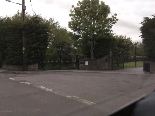

Old Sea Bank
Monument and historic site · 1.5 mi
Visible as long shallow banks, 350m long just north of Gilslake Fm, and 130m north from Chequers Fm. Medieval or post-Medieval flood...
Parks, trails and playgrounds2

Bristol Zoo Project
Park · 2.9 mi
Wildlife conservation park in South Gloucestershire, England

Restaurants and cafes6
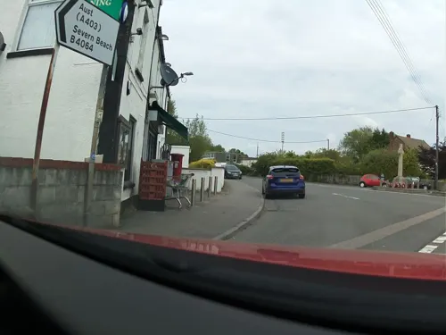
The Old Cross Hands Restaurant
Restaurant · 0.9 mi
Cross Hands Road, Pilning
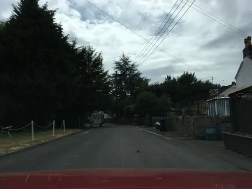



Kings Arms
Bar and pub · 0.8 mi
Redwick Road, Bristol
Mo-Sa 11:00-23:00; Su 12:00-23:00
History
Before the Great Western Railway arrived in 1900, the area was farmland. In 1922, the village became a seaside resort with a swimming pool called the "Blue Lagoon", a boating lake, dozens of fun-fair stalls, donkey rides (on grass), mostly by local entrepreneur Robert Stride. Many people came from nearby Bristol because Severn Beach had less strict licensing laws. The Beach Comber club appeared in the 1960s.
Robert Charles Barton Stride (1894–1970) was son of Albert and Alice Stride. Albert's father George was the brother of Edmund Stride who was involved in the construction of Avonmouth docks and housing. His sons Jared and Jethro Stride were the original ‘Stride Brothers’ who built one-off luxury houses in Sneyd Park, Bristol. Robert lived next door to his cousins Jared and Jethro in Shirehampton.
Robert enlisted in WW1 and was a driver, driving a range of vehicles including ambulances.
Read more of the history
Like many other Strides in Shirehampton Robert was a builder by trade. After the war ended he resumed trading. With the opening of the rail link from Avonmouth in 1924 Robert Stride moved his operations from his house on Station Road, Shirehampton, to Severn Beach, and built a restaurant and six shops opposite the tennis courts. He bought up surplus material from the remount depot in Shirehampton which had closed at the end of the war. He re-used much of this in his buildings at Severn Beach. The swimming pool was built by Robert and he also built Osborne Road, Beach Road and Beach Avenue, laying out a putting green, boating lake and miniature railway. During the 1930s he installed electricity for all. He was Parish Councillor for 26 years between 1937 and 1964. His family were staunch Methodists and were involved with the Methodist church in Shirehampton. His brother Horatio was a keen supporter of Toc H.
Robert's daughter (Mrs Turner) taught at Severn Beach Primary School.
With its era as a holiday and pleasure resort ending in the 1970s, many of the shops have also closed; however, the convenience store and Down's Bakery still trade. Severn Beach had a dedicated Post Office at 103 Beach Road but this also closed and a small Post Office is now housed a few doors away at the Morrisons Daily convenience store. The village pub (Severn Salmon, formerly Severn Beach Hotel) was demolished to make way for housing. The Blue Lagoon swimming pool was demolished in the 1980s in favour of creating more open space and some housing plus part purchased by Northavon District Council to act as a sea defence when over-topping occurs from the River Severn. It was during this time that all the railway station buildings were demolished to make way for new housing leaving just the platform. The station is now unstaffed, with a ticket machine on the platform. The boating lake has been filled in and landscaped and now forms part of the sea defence known as Sea Wall Gardens. Public toilets that were built on Beach Road during its heyday as a pleasure resort are still there but are locked overnight. A new sea front Tea Cottage opened in 2018 on the site of the old Burger Bar and its associated children's fun rides. Shirley's Cafe also remains open on Station Road.
From the History section of Severn Beach on Wikipedia, under CC BY-SA 4.0.
More about Severn Beach
Education
Primary education is provided by Severn Beach Primary School at Ableton Lane, Severn Beach. There are no senior schools in Severn Beach.
From the Wikipedia article Severn Beach, under CC BY-SA 4.0.
Where to stay2
Churches and places of worship4
St Peter's Church
Church · Anglican, Methodist · 1.0 mi
Cross Hands Road, Bristol
Schools, colleges and libraries2
Map of Severn Beach
22 places. The map loads OpenStreetMap tiles when you open it.
Getting there and nearby towns
Bristol Airport (BRS) is the nearest airport with scheduled flights listed in OpenStreetMap, 12 miles away.
- Pilning 1 mi east, about 1 min by car
- Almondsbury 4 mi east, about 6 min by car
- Chepstow 6 mi north, about 9 min by car
- Stoke Gifford 6 mi southeast, about 10 min by car
- Portishead 7 mi southwest, about 11 min by car
- Thornbury 7 mi northeast, about 11 min by car
- Bristol 8 mi south, about 13 min by car
- Mangotsfield 8 mi southeast, about 14 min by car
- Kingswood 10 mi southeast, about 16 min by car
- Nailsea 10 mi southwest, about 16 min by car
Drive times are estimates from straight-line distance, not routes.
Towns near Severn Beach


Keep exploring
Local news
Headlines from INDB.
Reviews, tips and questions
Loading what members have shared...
Sources and licences
- GeoNames (CC BY 4.0): population, coordinates, regions and time zone
- Mapillary (see each image): photos
- OpenStreetMap contributors (ODbL 1.0): places, airports, map data
- Wikidata (CC0 1.0): elevation, founding date, time zone, website, landmarks and historic places
- Wikimedia Commons (see each image): photos
- Wikipedia (CC BY-SA 4.0): overview and history text
Photo credits
- Severn Beach railway station MMB 18, mattbuck ( category ), CC BY-SA 3.0
- B132 (W55032) at Severn Beach, Hugh Llewelyn, CC BY-SA 2.0
- Severn Beach (5628708169), Alessandro Benedetti from Bristol, United Kingdom, CC BY-SA 2.0
- Severn Beach railway station MMB 02C, Photo by mattbuck ( category ) Crop by Jackofhearts, CC BY-SA 3.0
- Severn Beach railway station MMB 02, mattbuck ( category ), CC BY-SA 3.0
- 2015 at Severn Beach station - entrance and information boards, Geof Sheppard, CC BY-SA 4.0
- New severn bridge best 750pix, Unknown author, Public domain
- Fixing you with his predatory gaze, Charlie Marshall, CC BY 2.0
- Portskewett, Chris Downer, CC BY-SA 2.0
- Street-level photo, southglos, CC BY-SA 4.0
- Street-level photo, ndm, CC BY-SA 4.0
- Street-level photo, southglos, CC BY-SA 4.0
- Street-level photo, southglos, CC BY-SA 4.0
- Street-level photo, southglos, CC BY-SA 4.0
- Street-level photo, southglos, CC BY-SA 4.0
- Street-level photo, southglos, CC BY-SA 4.0

Page built November 10, 2026. Spotted a mistake? Tell us or suggest a place.