


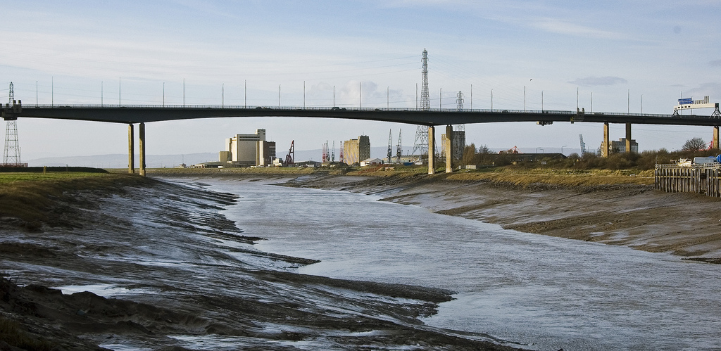

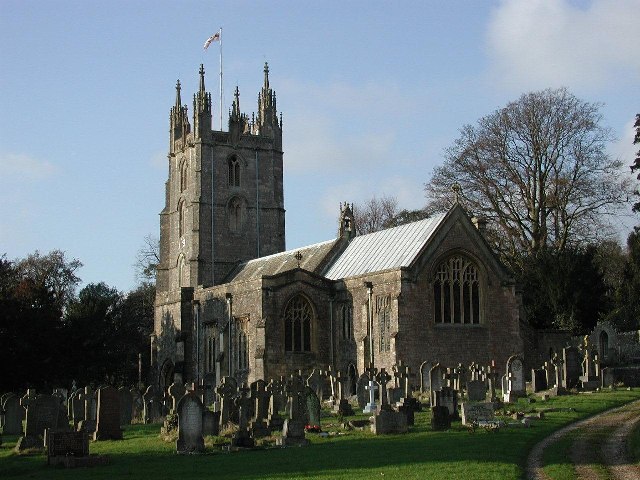
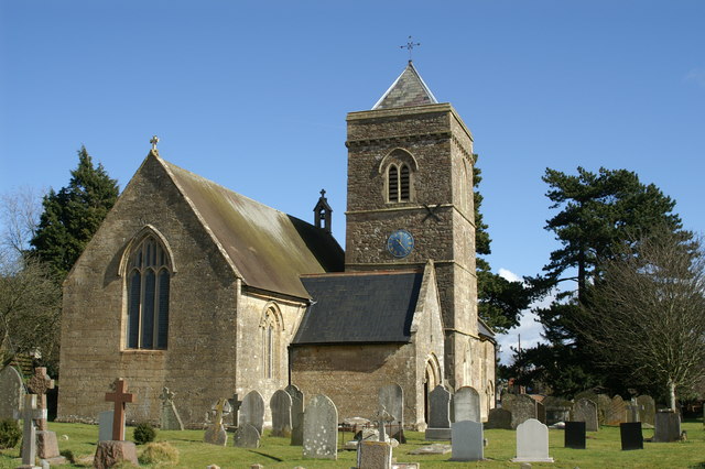
Portishead, United Kingdom
Portishead is a town of 26,355 people in England, United Kingdom.
Why visit Portishead
Townapedia lists 13 museums and landmarks, 33 parks and trails, 55 places to eat, 4 places to stay and 9 attractions in and around town.
Highlights include Black Nore Lighthouse, Portishead Point lighthouse, Nailsea Glassworks and Noah's Ark Zoo Farm.
Weather in Portishead
Forecast from MET Norway (CC BY 4.0). Full forecast
About Portishead
Portishead is a town and civil parish in the North Somerset unitary authority area, in the county of Somerset, England. With a population of 26,366 at the 2021 Census, the town is located on the Severn Estuary opposite Cardiff and Newport in Wales. The town is 8 miles (13 km) to the west of Bristol and 18 miles northeast of Weston-super-Mare and approximately 110 miles (180 km) west of London.
From the Wikipedia article Portishead, Somerset (this version), under CC BY-SA 4.0.
Travel tips from other travellers: Portishead on Wikivoyage (CC BY-SA 4.0).
Things to do9

Black Nore Lighthouse
Lighthouse · 1.3 mi
Lighthouse in Somerset, England, UK

Portishead Point lighthouse
Lighthouse · 0.8 mi
Lighthouse in Somerset, England



Museums and landmarks13

Nailsea Glassworks
Monument and historic site · 3.4 mi
Former glass factory in Nailsea, Somerset, England, UK

ROC Post Portishead
Monument and historic site · 1.1 mi
Royal Observer Corps cold war nuclear fallout shelter and monitoring post. Operational 1964 to 1968.
1 more on the map.
Parks, trails and playgrounds33




Portishead Town and Village Green
Park · 0.8 mi
Ex. Portishead Golf Course - now town and village green
Nore Road, Bristol

21 more on the map.
Restaurants and cafes55
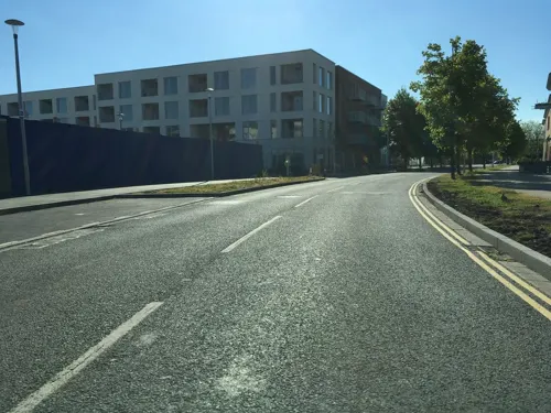
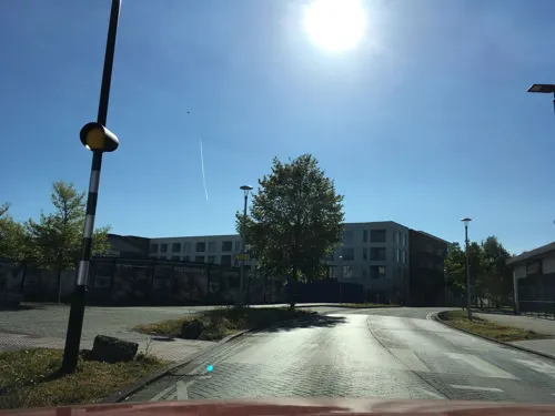
Bottelino's
Restaurant · Italian · 0.4 mi
21 Harbour Road, Bristol
Tu-Fr 17:00-21:00,12:00-15:00; Sa,Su 12:00-21:30
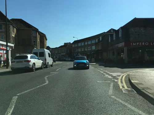
Coffi Lab
Cafe · Coffee Shop, Cake
29-31 High Street, Bristol
Mo-Fr 07:30-17:30; Sa 08:00-17:30; Su 08:30-17:30
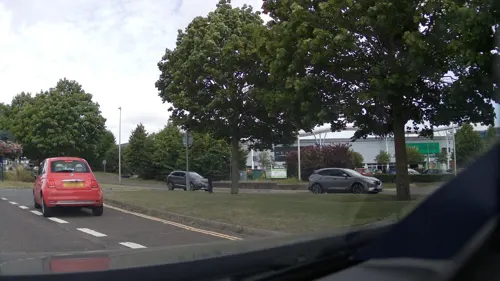
The Port
Restaurant · Pizza, Coffee Shop
High Street, Bristol
Tu-Th 09:00-22:00; Fr-Sa 09:00-23:00; Su 10:00-20:00

The Black Horse
Bar and pub · 1.5 mi
Clevedon Lane, Bristol
Tu-Sa 12:00-23:00; Su,Mo 12:00-22:00

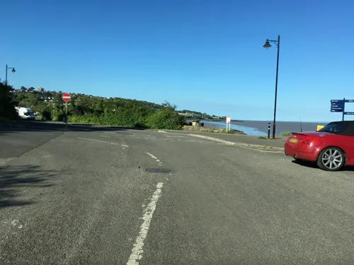

43 more on the map.
History
The name Portishead derives from the "port at the head of the river". It has been called 'Portshead' and 'Portschute' at times in its history and Portesheve in the Domesday Book, and was locally known as Posset.
The town's recorded history dates back to Roman times, although there is also evidence of prehistoric settlement, including polished flint axe heads. There were also Iron Age settlements in the area, of which Cadbury Camp was the largest. Other sites that have been identified include a 1,200 by 600 feet (370 by 180 m) site that was successively occupied by the Romans, Britons and Danes. There is some evidence that it may have been the western end of the Wansdyke, an early medieval or possibly Roman boundary with a series of defensive linear earthworks extending to the Savernake Forest near Marlborough in Wiltshire.
Read more of the history
After the Norman conquest the manor was held by the Bishop of Coutances and later reverted to the Crown, after which William II gave it to a merchant from Bristol known as Harding and then to his son Robert Fitzharding, who became Lord of Berkeley. The Berkeley family held it for generations until it passed by marriage to the Cokes of Holkham in Norfolk. In the 14th century it belonged to Everard le Frenshe. In 1621 the Bristol Corporation purchased large portions of land in Portishead and revived the Manor Court. The rights of the corporation over the manor were disputed, but they held it until 1836, when they sold it for £8,050. The parish of Portishead was part of the Portbury Hundred.
The town was built at the mouth of a small tributary of the Severn Estuary near the mouth of the River Avon. The old pill or jetty provided protection for craft against the Bristol Channel's large tidal range, and iron rings can be seen in the high street at which fishing boats used to moor. Its position meant Portishead was used to guard the "King Road", as the waters around the headland are called. In 1497 it was the departure point for John Cabot on the Matthew. A fort was built on Battery Point, and was used during the English Civil War when the town supported the Royalists, but surrendered to Fairfax in 1645. Guns were also placed at Battery Point during World War II. The King Road was the site of a naval action in 1758 when HMS Antelope captured Belliqueux, one of a French squadron returning from Quebec.
A mill was built on Welhay stream but this was replaced by tidal mills. In the 17th century the City of Bristol bought the manors of North Weston and Portishead for access to the channel and as a place to stay outside of the city and, in the 19th century, as a seaside resort. An outer sea wall was built, allowing the local marshes to be drained and increasing the land available for farming. The dominant architecture is early Victorian, with some buildings maintaining their original features. The expansion in residential property coincided with the construction of the dock, pier and the rail link to Bristol. The Royal Hotel by the pier was built in a Tudor Gothic style in 1830, to provide accommodation and catering for travellers on the steamers from Bristol, Wales and Ireland.
The act of Parliament governing the enclosure of Portishead was passed in 1814, and stipulated the right to a public wharf, although there is historical evidence of nautical connections dating back to the Patent Rolls of 1331. Around the 1860s, at the height of the iron and steel era, a pier and a deep-water dock were built by the Bristol & Portishead Pier and Railway to accommodate the large ships that had difficulty in reaching Bristol Harbour. They brought valuable cargoes from across the globe and exported local products overseas. Ships carrying coal were commonplace in Portishead Docks.
In the 1880s Portishead Dock was acquired by Bristol Corporation, and was subsequently managed as part of the Port of Bristol until its closure.
The Portishead power stations were coal-fed power stations built next to the dock. Construction work started on Portishead "A" power station in 1926. It began generating electricity in 1929 for the Bristol Corporation's Electricity Department. In 1937 its original six short chimney stacks were replaced by a 350 ft (110 m) high stack. A second 350 ft (110 m) stack was added when the power station was expanded in 1948.
Construction of Portishead "B" power station began in 1949; it became operational in 1955. The power stations became part of the nationalised electricity industry after 1949, and were operated in turn by the British Electricity Authority, the Central Electricity Authority and the CEGB. They used some local coal produced in the Somerset coalfield, which was delivered by train along the Portishead branch of the Great Western Railway (GWR). The line had opened on 12 April 1867 as the Bristol and Portishead Pier and Railway Company; it opened to the dock on 5 July 1879. The main supply of coal was imported by boat from Newport and Ely in South Wales; it was carried by Osborn & Wallis of Bristol.
Portishead had two passenger stations on the GWR's Portishead branch line. The main station was near the centre of the village of Portishead, as it was then; the other was at the pier. The construction of Portishead "B" power station caused the original railway station to be demolished and a replacement station was opened in the High Street on 2 January 1954. The new station closed on 7 September 1964.
The majority of the line was reopened in 2002, to transport goods from the Royal Portbury Dock. A new junction was created, 3 miles (5 km) from Portishead station, and a new goods line built from there to the Royal Portbury Dock. There is a campaign group aimed at reopening the station and the short stretch of unopened line. The campaign was successful and the go-ahead was given in 2025. The re-opening of the line is expected to be in 2028.
From the History section of Portishead, Somerset on Wikipedia, under CC BY-SA 4.0.
More about Portishead
Geography
Portishead is a coastal town on the Severn Estuary. It lies north east of Clevedon and immediately south west of Avonmouth just across the River Avon, which forms the boundary between Somerset and Bristol. The city of Bristol is 6 miles (9.7 km) to the east and Portishead is approximately 110 miles (180 km) west of London. On clear days, Wales can be seen across the Severn Estuary from the town. The Eastwood area has been designated as a local nature reserve. It consists broadleaf woodland on a coastal limestone ridge which leads to Battery Point which had a defensive gun position and Portishead Point Lighthouse is on the promontory. There is also geological interest in the fossils, folds and faults found in the area.
Arts and culture
The Bristol-based trip hop group Portishead took their name from the town, despite describing it as their "dreary home-town". Chaos UK is a punk band that was formed in Portishead in 1979. The town was also the birthplace of leading Scrumpy and Western singer Adge Cutler.
There are various groups and societies in the town, including the Gordano society that is involved in history, conservation, environment, planning and wildlife issues; a horticultural society; and the Portishead Railway Group that is campaigning for the Portishead to Bristol railway line to be re-opened. There are also church and youth organisations such as the Portishead Youth Club - a choral society, which was formed in 1955 - and an annual carnival.
A public art programme started in 1999 from the marina development, as part of a planning agreement between the developers (Crest Nicholson and Persimmon Homes) and North Somerset Council. An art trail takes in 28 public art works around the marina and Ashlands development. including works by artists Jon Buck, Lucy Glendinning, Mark Merer, and Ann Christopher
Education
The Unitary Authority of North Somerset provides support for 78 schools, delivering education to approximately 28,000 pupils. Infant and primary schools in Portishead include: High Down Infant and Junior, Portishead Primary, St. Joseph's Catholic Primary, St. Peter's C of E Primary and Trinity Anglican Methodist Primary School. Secondary education is provided by Gordano School. In 1999, the school was awarded Specialist Schools Technology College status (see awards). Gordano School enrolls over 2000 students annually, ages 11–19.
As of 1 September 2016 High Down Infant and Junior Schools, Gordano School, Portishead Primary School and St. Peter's C of E Primary School in the town, and St. Mary's in nearby Portbury formed a Multi Academy Trust (MAT) called The Lighthouse Partnership.
Trinity Anglican Methodist School has become part of the Bath & Wells Multi Academy Trust.
From the Wikipedia article Portishead, Somerset, under CC BY-SA 4.0.
Notable people from Portishead
 Frederic WeatherlyEnglish lawyer, author, lyricist and broadcasterPhoto: Unknown author Unknown author ;..., Public domain
 George Ryallprofessional golferPhoto: Pvt pauline, CC BY-SA 3.0
- Richard BraineBritish actor
- Andy RollingsFootballer (born 1954)
- Chris ConnBritish motorcycle racer
- Mary Harriett Griffith(1849-1930) Australian philanthropist
- Henry Noble ShiptonRoyal Marines officer
- Adge Cutlersinger-songwriter, founder of The Wurzels (1930-1974)
- Tommy Broom
Born in Portishead, according to Wikidata (CC0). Each name links to its Wikipedia article.
Where to stay4
Churches and places of worship15
Shopping10
Gas and EV charging2
Schools, colleges and libraries8
Trinity Anglican-Methodist Primary School
School · Anglican, Methodist · 0.8 mi
Marjoram Way, Bristol
Healthcare3
Map of Portishead
152 places. The map loads OpenStreetMap tiles when you open it.
Getting there and nearby towns
Bristol Airport (BRS) is the nearest airport with scheduled flights listed in OpenStreetMap, 7 miles away.
- Yatton 7 mi south, about 11 min by car
- Bristol 8 mi east, about 12 min by car
- Stoke Gifford 10 mi east, about 16 min by car
- Newport 12 mi northwest, about 20 min by car
- Thornbury 14 mi northeast, about 22 min by car
- Yate 16 mi east, about 25 min by car
- Cardiff 18 mi west, about 28 min by car
- Bath 19 mi southeast, about 31 min by car
- Wells 20 mi south, about 32 min by car
- Shepton Mallet 22 mi southeast, about 36 min by car
Drive times are estimates from straight-line distance, not routes.
Towns near Portishead


Keep exploring
Local news
Headlines from INDB.
Reviews, tips and questions
Loading what members have shared...
Sources and licences
- GeoNames (CC BY 4.0): population, coordinates, regions and time zone
- Mapillary (see each image): photos
- OpenStreetMap contributors (ODbL 1.0): places, airports, map data
- Wikidata (CC0 1.0): elevation, founding date, time zone, website, landmarks and historic places
- Wikimedia Commons (see each image): photos
- Wikipedia (CC BY-SA 4.0): overview and history text
Photo credits
- PortisheadMarina, Paula Rogers, CC BY-SA 2.0
- Battery Point lighthouse, Portishead, England arp, Myself ( Adrian Pingstone )., Public domain
- 040424 026 avonmouth, April 2004, by Joe D ., CC BY-SA 1.0
- The Old Glass Works, Nailsea label QS:Len,"The Old Glass Works, Nailsea", British School, Public domain
- WraxallAllSaintsChurch, ChurchCrawler, CC BY-SA 2.0
- Weston in Gordano church, Adrian and Janet Quantock, CC BY-SA 2.0
- Church of St Quiricus and St Juliet Tickenham, Linda Bailey, CC BY-SA 2.0
- Portbury church, ChurchCrawler, CC BY-SA 2.0
- Church of St Peter Portishead, Rodw, Public domain
- Gordano School 01, Rodw, CC BY-SA 4.0
- Westonbigwood, FollowMeChaps, CC BY-SA 2.0
- The Black Horse Clapton-in-Gordano - panoramio, Jusben, CC BY 3.0
- Royal Hotel Portishead, ArticCynda, CC BY-SA 4.0
- Giraffe enclosure - Noah's Ark Zoo Farm, Marie Hale, CC BY 2.0
- Black Nore Lighthouse (18999954166), Reading Tom from Reading, UK, CC BY 2.0
- Portishead Point Lighthouse (18840568999), Reading Tom from Reading, UK, CC BY 2.0
- Street-level photo, southglos, CC BY-SA 4.0
- Street-level photo, southglos, CC BY-SA 4.0
- Street-level photo, southglos, CC BY-SA 4.0
- Street-level photo, southglos, CC BY-SA 4.0
- Street-level photo, southglos, CC BY-SA 4.0
- Street-level photo, southglos, CC BY-SA 4.0
- Street-level photo, southglos, CC BY-SA 4.0
- Street-level photo, southglos, CC BY-SA 4.0
- Street-level photo, southglos, CC BY-SA 4.0
- Street-level photo, southglos, CC BY-SA 4.0
- Street-level photo, southglos, CC BY-SA 4.0
- Street-level photo, southglos, CC BY-SA 4.0
- Street-level photo, southglos, CC BY-SA 4.0
- Street-level photo, southglos, CC BY-SA 4.0
- Street-level photo, southglos, CC BY-SA 4.0
- Street-level photo, southglos, CC BY-SA 4.0
- Street-level photo, southglos, CC BY-SA 4.0
- Street-level photo, southglos, CC BY-SA 4.0
- Street-level photo, southglos, CC BY-SA 4.0
- Street-level photo, southglos, CC BY-SA 4.0
- Street-level photo, southglos, CC BY-SA 4.0
- Street-level photo, southglos, CC BY-SA 4.0
- Street-level photo, southglos, CC BY-SA 4.0
- Street-level photo, southglos, CC BY-SA 4.0
- Street-level photo, southglos, CC BY-SA 4.0


Page built November 10, 2026. Spotted a mistake? Tell us or suggest a place.