
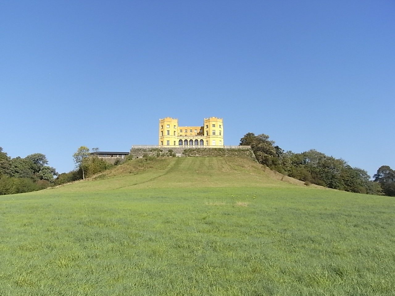


Stoke Gifford, United Kingdom
Stoke Gifford is a town of 13,560 people in England, United Kingdom.
Why visit Stoke Gifford
Townapedia lists 4 museums and landmarks, 24 parks and trails, 72 places to eat, 8 places to stay and 3 attractions in and around town.
Highlights include Gipsy Patch Lane Bridge, Olympus Theatre, Frenchay Village Museum and Glenside Hospital Museum.
Weather in Stoke Gifford
Forecast from MET Norway (CC BY 4.0). Full forecast
About Stoke Gifford
Stoke Gifford is a large village and civil parish in the South Gloucestershire district, in the ceremonial county of Gloucestershire, England. It forms part of the Bristol built-up area, part of the city's North Fringe. The ward had 14,200 residents in 5,788 households at the 2021 census and the parish had 19,794.
From the Wikipedia article Stoke Gifford (this version), under CC BY-SA 4.0.
Photos of Stoke Gifford


Things to do3
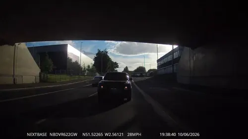
Gipsy Patch Lane Bridge
Bridge · 1.0 mi
Railway bridge in South Gloucestershire, England


Museums and landmarks4
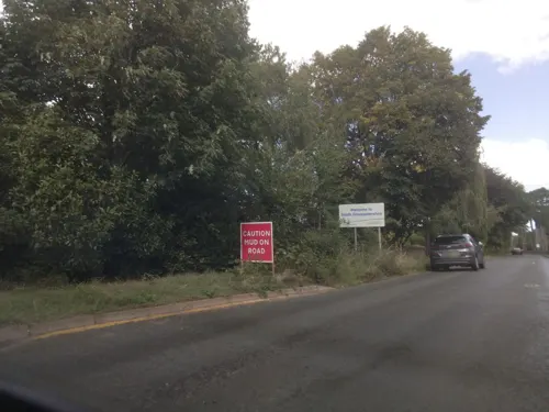

Glenside Hospital Museum
Museum · 2.2 mi
Hospital museum in Stapleton, Bristol, United Kingdom

Parks, trails and playgrounds24
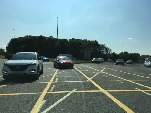
Aztec West
Park · 2.2 mi
Business park in Gloucestershire, England, UK

Bristol Zoo Project
Park · 3.4 mi
Wildlife conservation park in South Gloucestershire, England

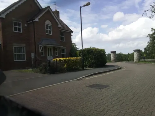


Page Park
Park · 3.0 mi
Park in Staple Hill, South Gloucestershire, United Kingdom


Stoke Park
Park · 1.9 mi
Park in Bristol/South Gloucestershire, England, UK

Three Brooks Local Nature Reserve
Park · 0.9 mi
Park in Bradley Stoke, United Kingdom


12 more on the map.
Restaurants and cafes72

Barranco Lounge
Restaurant · British · 1.1 mi
7 Abbeywood Retail Park, Bristol
Fr-Sa 09:00-23:00; Su-Th 09:00-22:00

Atrium Cafe
Cafe · Sandwich, Coffee Shop · 1.2 mi
Coldharbour Lane, Bristol
Mo-Th 08:00-16:30; Fr 08:00-15:00
Fusion Delights
Restaurant · Indian, Mexican · 1.5 mi
138 Gloucester Road North, Bristol
Tu-Su 07:00-23:00; Mo off
Nando's
Restaurant · Chicken, Portuguese · 1.1 mi
5C Station Road, Bristol
Su-We 11:30-22:00; Th-Sa 11:30-22:30

The Fox Den
Bar and pub · 0.9 mi
New Road, Bristol
Mo-We 12:00-22:00; Th-Fr 12:00-23:00; Sa 11:30-23:00; Su 11:30-22:00
The Students’ Union bar and coffee shop
Cafe · Coffee Shop, Sandwich, Pizza, Burger · 1.2 mi
Coldharbour Lane, Bristol
Mo-Fr 12:00-19:00
60 more on the map.
History
Following the Norman Invasion of 1066, William the Conqueror gave the manor of Stoke Gifford to Osbern Giffard, one of his knights. Giffard himself was a native of Longueville-le-Giffard, Normandy, now known as Longueville-sur-Scie, from which the 'Gifford' suffix derives. The 'Stoke' part of the name may come from the Stoke Brook, or may also be a reference to the Saxon word 'Stoche' meaning 'property of or dependent farmstead'. Bradley Stoke and Stoke Lodge, both 20th-century estates, were also given the name.
The manor remained in the Giffard family until 1337, when it was granted to Maurice de Berkeley (died 1347), 2nd son of Maurice de Berkeley, 2nd Baron Berkeley (1271–1326). Thus was founded the long and distinguished cadet branch of "Berkeley of Stoke Gifford". In 1553 a new late-Tudor manor house was built by Sir Richard Berkeley (died 1604), 7th in descent from Maurice de Berkeley (died 1347). During the siege of Bristol in 1645, the house was used as the headquarters of General Fairfax. It became known as Stoke Park, and was rebuilt in 1750 by Norborne Berkeley, 4th Baron Botetourt (died 1770), from a neo-classical design by Thomas Wright.
Read more of the history
Like much of the nearby area, Stoke Gifford saw rapid population expansion in the late 20th century. Before the 1980s Stoke Gifford was just a small village, straggling along the main street, North Road. In 1987 it was designated for urban expansion, alongside neighbouring Bradley Stoke, as part of the Avon County Council Structural Plan and Northavon Local Plan.
In 2023, following an increase in housing and population in the south of the parish, it was divided into two, with the southern part becoming a new parish of Stoke Park and Cheswick.
From the History section of Stoke Gifford on Wikipedia, under CC BY-SA 4.0.
Notable people from Stoke Gifford
 Norborne Berkeley, 4th Baron BotetourtBritish politician and courtierPhoto: Harry Ashby, Public domain
- Tom ParrinelloEnglish footballer (born 1989)
Born in Stoke Gifford, according to Wikidata (CC0). Each name links to its Wikipedia article.
Where to stay8
Churches and places of worship16
Shopping17
Gas and EV charging2
Schools, colleges and libraries25
Healthcare9
Willow Chiropractic
Clinic and pharmacy · 1.5 mi
10 Shield Retail Centre, Bristol
Map of Stoke Gifford
180 places. The map loads OpenStreetMap tiles when you open it.
Getting there and nearby towns
Bristol Airport (BRS) is the nearest airport with scheduled flights listed in OpenStreetMap, 12 miles away.
- Bristol 5 mi southwest, about 8 min by car
- Yate 6 mi east, about 9 min by car
- Thornbury 6 mi north, about 10 min by car
- Bath 12 mi southeast, about 20 min by car
- Yatton 15 mi southwest, about 24 min by car
- Newport 20 mi west, about 33 min by car
- Wells 22 mi south, about 35 min by car
- Westbury 23 mi southeast, about 38 min by car
- Gloucester 27 mi northeast, about 44 min by car
- Cardiff 28 mi west, about 44 min by car
Drive times are estimates from straight-line distance, not routes.
Towns near Stoke Gifford


Keep exploring
Local news
Headlines from INDB.
Reviews, tips and questions
Loading what members have shared...
Sources and licences
- GeoNames (CC BY 4.0): population, coordinates, regions and time zone
- Mapillary (see each image): photos
- OpenStreetMap contributors (ODbL 1.0): places, airports, map data
- Wikidata (CC0 1.0): elevation, founding date, time zone, website, landmarks and historic places
- Wikimedia Commons (see each image): photos
- Wikipedia (CC BY-SA 4.0): overview and history text
Photo credits
- StokeParkStokeGifford, Lobsterthermidor at en.wikipedia, CC0
- Fixing you with his predatory gaze, Charlie Marshall, CC BY 2.0
- Eastville Park lake, frozen, from west, Rwendland, CC BY-SA 4.0
- OldburyCourtDam, William Avery, CC BY-SA 3.0
- Snuff Mills restored mill, William Avery, CC BY-SA 3.0
- The Church of St Anne, Greenbank, Easton (5461279771), Robert Cutts from Bristol, England, UK, CC BY 2.0
- Stmatthias, The original uploader was Rodw at English Wikipedia ., Public domain
- Bradley Stoke lake, Steve Gregory, CC BY-SA 2.5
- St Michaels Winterbourne, The original uploader was Arpingstone at English Wikipedia ., CC BY-SA 2.5
- SGS Filton Campus 2, Linda Bailey, CC BY-SA 2.0
- Wdown, Lee, CC BY-SA 4.0
- Bristol Parkway station from long term car park 2005-05-03, Chris McKenna, CC BY-SA 4.0
- 158745-BristolParkway02, Chris McKenna, CC BY-SA 4.0
- Unidentified hst at Bristol Parkway 2005-05-03 01, Chris McKenna, CC BY-SA 4.0
- Bristol Parkway-platforms (east-end 2005-05-03), Chris McKenna, CC BY-SA 4.0
- 158745-BristolParkway01, Chris McKenna, CC BY-SA 4.0
- 158xxx-arrivingBristolParkway01, Chris McKenna, CC BY-SA 4.0
- 1949 Daimler Eighteen (44220129381), Hugh Llewelyn from Keynsham, UK, CC BY-SA 2.0
- HIA No.369110, hugh llewelyn, CC BY-SA 2.0
- HIA No.369027, hugh llewelyn, CC BY-SA 2.0
- Bristol Parkway railway station 2019-05-04 47781771851, Hugh Llewelyn, CC BY-SA 2.0
- HIA No.369034, hugh llewelyn, CC BY-SA 2.0
- JGA No.BHQ 17113, hugh llewelyn, CC BY-SA 2.0
- JGA No.BHQ 17141, hugh llewelyn, CC BY-SA 2.0
- JPA No.81 70.9316.063-5, hugh llewelyn, CC BY-SA 2.0
- Clock Tower, Page Park. - panoramio, Robert Powell, CC BY-SA 3.0
- Stoke Park with view of Dower House - PXL 20240713 173638535, Tadeusz Hare, CC BY-SA 4.0
- Street-level photo, southglos, CC BY-SA 4.0
- Street-level photo, RyanBush, CC BY-SA 4.0
- Street-level photo, southglos, CC BY-SA 4.0
- Street-level photo, southglos, CC BY-SA 4.0
- Street-level photo, southglos, CC BY-SA 4.0
- Street-level photo, southglos, CC BY-SA 4.0
- Street-level photo, southglos, CC BY-SA 4.0
- Street-level photo, southglos, CC BY-SA 4.0
- Street-level photo, southglos, CC BY-SA 4.0
- Street-level photo, RyanBush, CC BY-SA 4.0
- Street-level photo, southglos, CC BY-SA 4.0
- Street-level photo, swinetown, CC BY-SA 4.0
- Street-level photo, southglos, CC BY-SA 4.0
- Street-level photo, southglos, CC BY-SA 4.0


Page built November 10, 2026. Spotted a mistake? Tell us or suggest a place.