


Why visit Eversley
Townapedia lists 2 museums and landmarks, 9 parks and trails, 8 places to eat, 1 place to stay and 1 attraction in and around town.
Highlights include Finchampstead War Memorial, Ambarrow Court and California Country Park.
Weather in Eversley
Forecast from MET Norway (CC BY 4.0). Full forecast
About Eversley
Eversley is a village and civil parish in the Hart district of Hampshire, England. The village is located around 11 miles (18 km) northeast of Basingstoke and around 2.5 miles (4 km) west of Yateley. The River Blackwater, and the border with Berkshire, form the northern boundary of the parish.
From the Wikipedia article Eversley (this version), under CC BY-SA 4.0.
Photos of Eversley


Things to do1

Museums and landmarks2
Parks, trails and playgrounds9
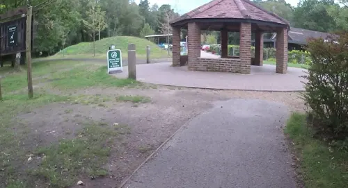
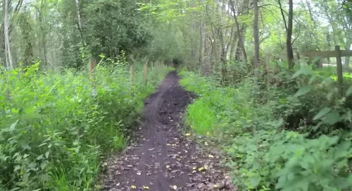



Wellington Country Park
Park · 2.9 mi
Park in Hampshire, United Kingdom
Restaurants and cafes8
The Greyhound
Bar and pub · 1.4 mi
Longwater Road, Finchampstead
Mo-Fr 12:00-23:00; Sa 11:00-23:00; Su 11:00-22:00
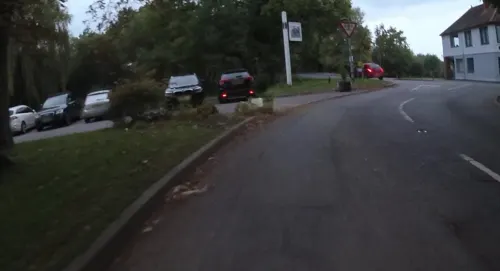

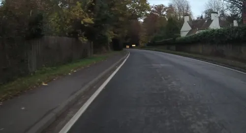
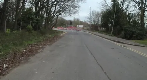


More about Eversley
Education
In Eversley there is a primary school called Charles Kingsley's Primary School, founded by Charles Kingsley in 1853. In 2011, it was inspected by OFSTED, and graded as "outstanding".
The village is home to St. Neots, also an independent preparatory school. It was founded in Sunningdale in 1888 as a proprietorial boys’ preparatory boarding school. It moved to the current site in Eversley in 1894, acquired charitable trust status under a governing board in 1955, opened a co-educational pre-prep in 1988 and attained full co-education in 1990. Since 1997 the school has worked a five-day week, with weekly and flexi-boarding from Year 3. The boarding ceased in 2015. The boar was taken as a symbol of the school, replacing the deer, to link it with the meaning of the name of the village Eversley.
From the Wikipedia article Eversley, under CC BY-SA 4.0.
Notable people from Eversley
- Lucas MaletEnglish novelist
- Sally AndreaeBritish rower
Born in Eversley, according to Wikidata (CC0). Each name links to its Wikipedia article.
Where to stay1
Churches and places of worship2
Shopping1
Schools, colleges and libraries3
Charles Kingsley's Church of England Primary School
School · Anglican · 0.7 mi
Glaston Hill Road, Hook
Map of Eversley
27 places. The map loads OpenStreetMap tiles when you open it.
Getting there and nearby towns
Blackbushe Airport (BBS) is the nearest airport with scheduled flights listed in OpenStreetMap, 2 miles away.
- Finchampstead 1 mi east, about 2 min by car
- Yateley 3 mi east, about 4 min by car
- Crowthorne 4 mi east, about 7 min by car
- Sandhurst 4 mi east, about 7 min by car
- Wokingham 5 mi northeast, about 7 min by car
- Lower Earley 5 mi north, about 8 min by car
- Fleet 5 mi southeast, about 9 min by car
- Camberley 6 mi east, about 10 min by car
- Farnborough 7 mi southeast, about 11 min by car
- Bracknell 7 mi northeast, about 12 min by car
Drive times are estimates from straight-line distance, not routes.
Towns near Eversley


Keep exploring
Local news
Headlines from INDB.
Reviews, tips and questions
Loading what members have shared...
Sources and licences
- GeoNames (CC BY 4.0): population, coordinates, regions and time zone
- Mapillary (see each image): photos
- OpenStreetMap contributors (ODbL 1.0): places, airports, map data
- Wikidata (CC0 1.0): elevation, founding date, time zone, website, landmarks and historic places
- Wikimedia Commons (see each image): photos
- Wikipedia (CC BY-SA 4.0): overview and history text
Photo credits
- Swallowfield meadow Local nature reserve May 2017, Nathan Harvey, CC BY-SA 4.0
- Church of St Mary, Eversley, Lewis Hulbert, CC BY-SA 3.0
- The Chequers, Eversley, Lewis Hulbert, CC BY-SA 4.0
- Shepperlands Farm (3), Dudley Miles, CC BY-SA 4.0
- The Marshes Local Nature Reserve (3), Dudley Miles, CC BY-SA 4.0
- Warbrook House 03, Lewis Hulbert, CC BY-SA 3.0
- Warbrook House 01, Lewis Hulbert, CC BY-SA 3.0
- Warbrook House 02, Lewis Hulbert, CC BY-SA 3.0
- Street-level photo, jpennycook, CC BY-SA 4.0
- Street-level photo, jpennycook, CC BY-SA 4.0
- Street-level photo, jpennycook, CC BY-SA 4.0
- Street-level photo, darbymark, CC BY-SA 4.0
- Street-level photo, jpennycook, CC BY-SA 4.0
- Street-level photo, jpennycook, CC BY-SA 4.0
- Street-level photo, jpennycook, CC BY-SA 4.0
- Street-level photo, cicisxn, CC BY-SA 4.0
- Street-level photo, cicisxn, CC BY-SA 4.0
- Street-level photo, jpennycook, CC BY-SA 4.0
- Street-level photo, cicisxn, CC BY-SA 4.0
- Street-level photo, jpennycook, CC BY-SA 4.0
Page built November 10, 2026. Spotted a mistake? Tell us or suggest a place.