


Why visit Eye
Townapedia lists 9 museums and landmarks, 10 parks and trails, 14 places to eat, 1 place to stay and 1 attraction in and around town.
Highlights include Embassy Theatre, Peterborough Museum and Art Gallery, Flag Fen and Stanground Wash.
Weather in Eye
Forecast from MET Norway (CC BY 4.0). Full forecast
About Eye
Eye is a village in the unitary authority area of Peterborough, in the ceremonial county of Cambridgeshire, England. The village is 3.8 miles (6 km) west of Thorney and 4.5 miles (7 km) south of Crowland, both known for their historic abbeys. The hamlet of Eye Green is immediately to the north, separated by the A47 trunk road.
From the Wikipedia article Eye, Cambridgeshire (this version), under CC BY-SA 4.0.
Things to do1

Embassy Theatre
Cinema and theater · 3.1 mi
Former theatre and cinema in Peterborough, England
Museums and landmarks9

Peterborough Museum and Art Gallery
Museum · 3.4 mi
History and art museum in Peterborough, England, United Kingdom

Flag Fen
Monument and historic site · 2.4 mi
Archaeological open-air museum in Peterborough, Cambridgeshire, England, UK
Peterborough Castle
Monument and historic site · 3.1 mi
Castle in the UK
Parks, trails and playgrounds10


Dogsthorpe Star Pit
Park · 0.7 mi
Nature reserve in the United Kingdom


Restaurants and cafes14
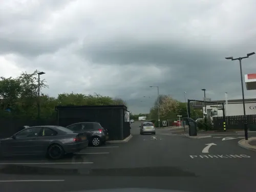
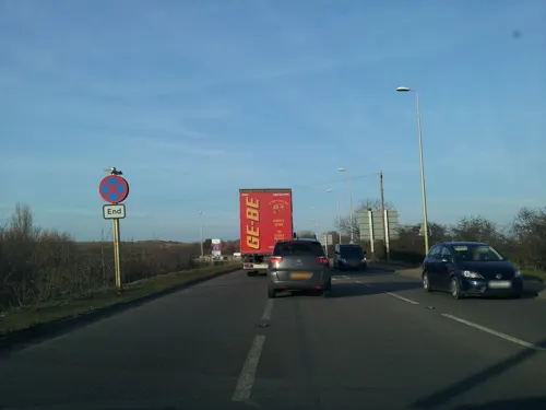
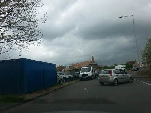




2 more on the map.
History
According to A Dictionary of British Place Names, Eye derives from the Old English ēg, meaning a place at "the island or well-watered land, or dry ground in marsh". In the 10th century, this particular Eye was spelt "Ege".
There has been a chapel at Eye since at least 1543. The present church, dedicated to Matthew the Apostle, was built by George Basevi in 1846. The 125 feet (40 m) broach spire added 10 years later was removed for safety reasons in the early 1980s and the steeple now has a saddleback roof. Adjoining the southeast corner of the churchyard on Back Lane stands the former village fire station dating from 1826, when it housed a Merryweather fire engine. Closed after 1945, it was repaired by the parish council in 2011.
Eye Cornmill was an eight-storey windmill with eight sails 75 yards (70 m) from the church. The village previously had a brick pit (a quarry for clay for making bricks). Northolme in Crowland Road was the site of the brickworks social club. When this closed, the buildings and pit were taken over by the British Sub-Aqua Club and run as a national dive site. The buildings were later demolished and it is now a nature reserve.
Read more of the history
Eye Green railway station (originally named Eye) on the Midland and Great Northern Joint Railway line between Peterborough and Wisbech was opened in 1866 and closed in 1957. Eye war memorial, carved in granite, was erected at Crowland Road cemetery in 1920. It is dedicated to forty-one killed in the First World War, with fourteen Second World War deaths added later. The memorial was Grade II-listed in 2016.
The £7.5 million A47 bypass was opened in October 1991, by Malcolm Moss MP.
There was a mid-air collision between two Harriers at 11.40 am on 23 February 1983, at around 10,000 ft (3,000 m).
Flt Lt John Leeming, 39, married with two children, attended St Mary's College
Flying Officer David Haigh, aged 21, from Sidmouth in east Devon
The pilot of Harrier XV795 of 3 Sqn, Flt Lt D Oakley, aged 32, ejected and landed in Borough Fen, Crowland, around 500 m (1,600 ft) from the Lincolnshire boundary.
From the History section of Eye, Cambridgeshire on Wikipedia, under CC BY-SA 4.0.
More about Eye
Geography
Eye was part of the Soke of Peterborough in Northamptonshire until 1965, when it became part of the short-lived county of Huntingdon and Peterborough. Since 1974, it has formed part of the City of Peterborough in Cambridgeshire. The Eye, Thorney and Newborough ward, comprising 133.1 square kilometres (51.4 mi2), was formed in 2016; it elects three councillors.
The three-mile £7 million A47 Eye bypass opened in October 1991. In recent decades Eye has expanded due to a growing demand for property. However this expansion has been strongly resisted by residents. Between 2001 and 2011, the population grew from under 3,900 to over 4,400.
From the Wikipedia article Eye, Cambridgeshire, under CC BY-SA 4.0.
Where to stay1
Churches and places of worship3
Shopping3
Gas and EV charging2
Schools, colleges and libraries6
Healthcare1
Map of Eye
50 places. The map loads OpenStreetMap tiles when you open it.
Getting there and nearby towns
RAF Marham (KNF) is the nearest airport with scheduled flights listed in OpenStreetMap, 32 miles away.
- Peterborough 3 mi southwest, about 5 min by car
- Thorney 4 mi east, about 6 min by car
- Whittlesey 4 mi southeast, about 7 min by car
- Glinton 5 mi northwest, about 8 min by car
- Market Deeping 7 mi northwest, about 11 min by car
- Castor 7 mi west, about 11 min by car
- Stilton 9 mi southwest, about 15 min by car
- Baston 10 mi northwest, about 16 min by car
- Wittering 10 mi west, about 17 min by car
- Spalding 12 mi north, about 20 min by car
Drive times are estimates from straight-line distance, not routes.
Towns near Eye


Keep exploring
Local news
Headlines from INDB.
Reviews, tips and questions
Loading what members have shared...
Sources and licences
- GeoNames (CC BY 4.0): population, coordinates, regions and time zone
- Mapillary (see each image): photos
- OpenStreetMap contributors (ODbL 1.0): places, airports, map data
- Wikidata (CC0 1.0): elevation, founding date, time zone, website, landmarks and historic places
- Wikimedia Commons (see each image): photos
- Wikipedia (CC BY-SA 4.0): overview and history text
Photo credits
- Eye parish church 2006-07-31 002web2, Kev747 at en.wikipedia, Public domain
- Stanground Wash 4, Dudley Miles, CC BY-SA 4.0
- Ashton lead tank at Peterborough Museum and Art Gallery, Lajmmoore, CC BY-SA 4.0
- Street-level photo, adam2, CC BY-SA 4.0
- Street-level photo, dzidek23, CC BY-SA 4.0
- Street-level photo, coljay72, CC BY-SA 4.0
- Street-level photo, adam2, CC BY-SA 4.0
- Street-level photo, adam2, CC BY-SA 4.0
- Street-level photo, adam2, CC BY-SA 4.0
- Street-level photo, adam2, CC BY-SA 4.0
- Street-level photo, adam2, CC BY-SA 4.0
- Street-level photo, adam2, CC BY-SA 4.0
- Street-level photo, IpswichEdits, CC BY-SA 4.0
- Street-level photo, adam2, CC BY-SA 4.0
Page built November 10, 2026. Spotted a mistake? Tell us or suggest a place.