


Why visit Castor
Townapedia lists 10 museums and landmarks, 9 parks and trails, 4 places to eat and 2 places to stay in and around town.
Highlights include Nene Valley Railway, Durobrivae, Grimeshaw Wood and Southorpe Paddock.
Weather in Castor
Forecast from MET Norway (CC BY 4.0). Full forecast
About Castor
Castor is a village and civil parish in the City of Peterborough unitary authority, about 4 miles (6.4 km) west of the city centre. The parish is part of the former Soke of Peterborough, which was considered part of Northamptonshire until 1888 and then Huntingdon and Peterborough from 1965 to 1974, when it became part of Cambridgeshire.
From the Wikipedia article Castor, Cambridgeshire (this version), under CC BY-SA 4.0.
Museums and landmarks10

Nene Valley Railway
Museum · 0.7 mi
Heritage railway in the United Kingdom
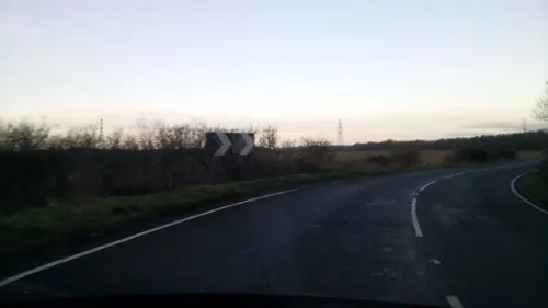
Sutton Cross (site of)
Monument and historic site · 0.9 mi
Site of a Saxon cross marking the boundary between two jurisdictions, placed at the junction of Ermine Street and two important local...

Durobrivae
Monument and historic site · 0.9 mi
Roman fortified garrison town at Water Newton in Cambridgeshire, England, UK
Pearl Assurance War Memorial
Monument and historic site · 1.7 mi
War memorial in Peterborough, Cambridgeshire, England, UK
Parks, trails and playgrounds9



Castor Hanglands National Nature Reserve
Park · 1.9 mi
Nature reserve in Cambridgeshire
Nene Park, Peterborough
Park · 1.0 mi
Country park in Peterborough, England


Restaurants and cafes4
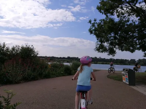
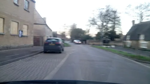
The Chubby Castor
Restaurant
34 Peterborough Road, Peterborough
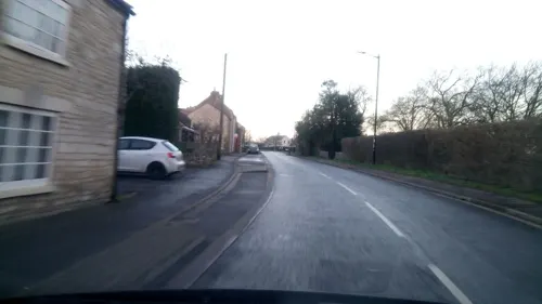
The Coffee House
Cafe
107a Peterborough Road, Peterborough
Mo-Su 09:00-16:00
Where to stay2
History
In the Roman period, there was a huge palatial structure at Castor. This was extensively excavated in the 1820s by Edmund Artis, the agent for the Fitzwilliam estate, who published a volume of illustrations about his work, which he suggested was a praetorium. Recent small-scale work has confirmed that it extended over a considerable area: Roman buildings covered an area of 290 by 130 m (3.77 ha) and had at least 11 rooms with tessellated floors and mosaics, at least two bathhouses and several hypocausts. The masonry which survives points to a monumental architecture indicating two major phases of building.
A recent survey by Stephen Upex suggested that the earlier smaller building dates to the 2nd century, but that the major palatial building dates to 240 – 260 AD. The structure is linked to a similar structure at Stonea 35 km to the south. It is suggested that in the Roman period, the Fens were a vast imperial estate and that at first Stonea was the seat of the procurator where the taxes were collected, and that after 250 this function was transferred to Castor.
The Praetorium may be connected with the town of Durobrivae (modern Water Newton) on the other side of the river Nene. The whole area was the centre of the Nene Valley pottery industry which was one of the three major pottery-producing areas in late Roman Britain, producing pottery on an industrial scale.
Read more of the history
The Praetorium appears to have been abandoned in the 5th century and there is a hiatus till the late 7th and 8th centuries, when finds from the area suggest considerable high-status activity. It is suggested that during the 7th century the former Roman site became the focus of the nunnery of St Kyneburgha, founded before 664.
Kyneburgha (d. c. 680) and Kyneswide were sisters, the daughters of King Penda of Mercia, the sisters of Peada of Mercia; their mother was Kynewise. Kyneburgha married Alhfrith of Deira, co-regent of Northumbria (who attended the Synod of Whitby in 664), but later founded an abbey for both monks and nuns in Castor. She became the first abbess. She was buried in her church, but her remains were translated, before 972, to Peterborough Abbey, now Peterborough Cathedral. She had been one of the signatories, together with her brother Wulfhere, of the founding charter of Peterborough Abbey, dated 664. The Danes laid waste to the area in around AD 870.
The Church of England parish church of St Kyneburgha dates from 1124. It is notable for its Romanesque architecture and includes notable medieval wall paintings. It is a Grade I listed building. It is the only church of that dedication in England. The Romanesque tower is 71 feet (22 metres) high, topped by a later spire of 44 feet high (13 metres), giving a total height of 115 feet (35 metres).
The Robin Hood and Little John Standing Stones were erected here between the 12th and 14th centuries in an agreement with the abbot of Peterborough Abbey that tolls would not be levied on the passage of stone from the abbey's quarries at Barnack.
The common lands of Castor and the neighbouring parish of Ailsworth were not enclosed until 1898.
The route of the London and North Western Railway branch line between Northampton and Peterborough passes through the parish. It was opened in 1845, including Castor railway station built to serve the village. British Railways closed the station in 1957 and the line in 1966, and Castor station has been demolished. The Nene Valley Railway reopened the section of line through Castor in 1977, but has not reopened a station at Castor.
The £9 million dual-carriageway Ailsworth and Castor Bypass, which is part of the A47 road, was opened in September 1991.
An episode of Time Team was filmed here and broadcast in 2011, revealing and confirming the huge size and height of the Roman praetorium.
From the History section of Castor, Cambridgeshire on Wikipedia, under CC BY-SA 4.0.
Notable people from Castor
- John Davys BeresfordBritish writer (1873–1947)
Born in Castor, according to Wikidata (CC0). Each name links to its Wikipedia article.
Churches and places of worship3
Schools, colleges and libraries1
Healthcare1
Map of Castor
30 places. The map loads OpenStreetMap tiles when you open it.
Getting there and nearby towns
Sywell Aerodrome (ORM) is the nearest airport with scheduled flights listed in OpenStreetMap, 26 miles away.
- Peterborough 4 mi east, about 7 min by car
- Glinton 5 mi northeast, about 8 min by car
- Market Deeping 7 mi north, about 12 min by car
- Stamford 8 mi northwest, about 13 min by car
- Easton on the Hill 8 mi northwest, about 12 min by car
- Whittlesey 9 mi east, about 15 min by car
- Ryhall 9 mi northwest, about 15 min by car
- Thorney 11 mi east, about 17 min by car
- Bourne 13 mi north, about 22 min by car
- Corby 15 mi west, about 25 min by car
Drive times are estimates from straight-line distance, not routes.
Towns near Castor


Keep exploring
Local news
Headlines from INDB.
Reviews, tips and questions
Loading what members have shared...
Sources and licences
- GeoNames (CC BY 4.0): population, coordinates, regions and time zone
- Mapillary (see each image): photos
- OpenStreetMap contributors (ODbL 1.0): places, airports, map data
- Wikidata (CC0 1.0): elevation, founding date, time zone, website, landmarks and historic places
- Wikimedia Commons (see each image): photos
- Wikipedia (CC BY-SA 4.0): overview and history text
Photo credits
- Nene Valley Railway Polish Tank Slask Tkp No 5485 Wansford, PeterSkuce, CC BY-SA 4.0
- Grimeshaw Wood 7, Dudley Miles, CC BY-SA 4.0
- Southorpe Paddock 2, Dudley Miles, CC BY-SA 4.0
- Thorpe Wood 1, Dudley Miles, CC BY-SA 4.0
- Wansford Pasture 3, Dudley Miles, CC BY-SA 4.0
- Street-level photo, dzidek23, CC BY-SA 4.0
- Street-level photo, dzidek23, CC BY-SA 4.0
- Street-level photo, dzidek23, CC BY-SA 4.0
- Street-level photo, dzidek23, CC BY-SA 4.0
- Street-level photo, coljay72, CC BY-SA 4.0
- Street-level photo, dzidek23, CC BY-SA 4.0
- Street-level photo, dzidek23, CC BY-SA 4.0
- Street-level photo, dzidek23, CC BY-SA 4.0
Page built November 10, 2026. Spotted a mistake? Tell us or suggest a place.