


Why visit Stilton
Townapedia lists 2 museums and landmarks, 4 parks and trails, 6 places to eat and 4 places to stay in and around town.
Highlights include Norman Cross and Hampton Nature Reserve.
Weather in Stilton
Forecast from MET Norway (CC BY 4.0). Full forecast
About Stilton
Stilton is a village and civil parish in Cambridgeshire, England, about 12 miles (19 km) north of Huntingdon in Huntingdonshire, which is a non-metropolitan district of Cambridgeshire as well as a historic county of England. In 2011 the parish had a population of 2,455. The village gave its name to Stilton cheese, although the cheese is no longer made there.
From the Wikipedia article Stilton, Cambridgeshire (this version), under CC BY-SA 4.0.
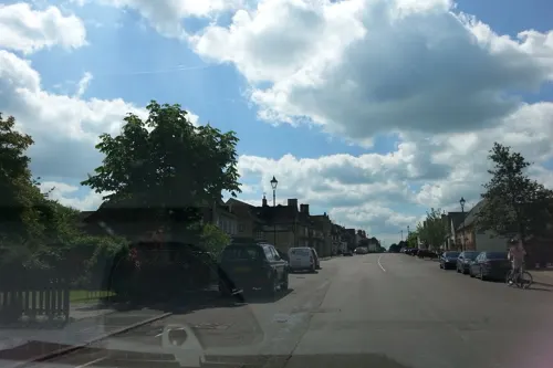
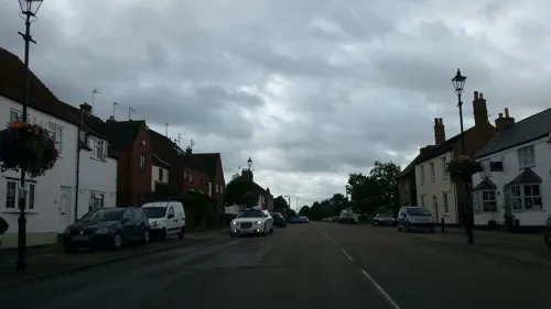
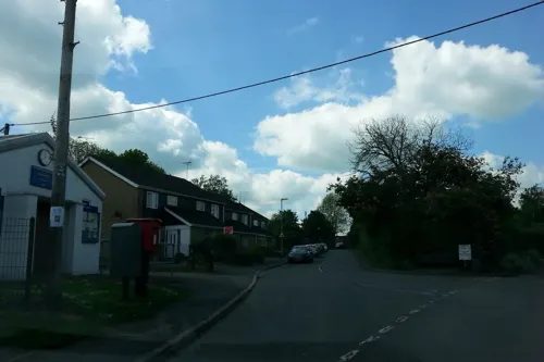
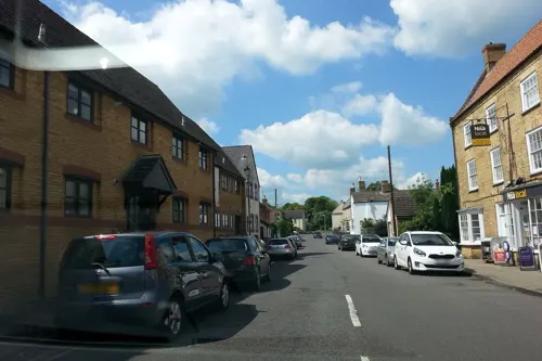
Photos of Stilton

Museums and landmarks2


Parks, trails and playgrounds4


Restaurants and cafes6
Where to stay4



History
There is evidence of Neolithic occupation of the parish. The Roman finds dug up in the village include a silver ring and a 2nd-century jug. Archaeologists have also found a potentially Roman settlement in the village and a Roman cheese press.
Stilton was listed in the Domesday Book of 1086 in the Hundred of Normancross in Huntingdonshire; the name of the settlement was written as Stichiltone and Sticilitone in the Domesday Book. In 1086 there were three manors at Stilton; the annual rent paid to the lords of the manors in 1066 had been £4 and the rent was the same in 1086.
The Domesday Book does not explicitly detail the population of a place, but it records that there were ten households at Stilton. There is no consensus about the average size of a household at that time; estimates range from 3.5 to 5.0 persons. Using these figures then an estimate of the population of Stilton in 1086 is that it was within the range of 35–50 people.
Read more of the history
The Domesday Book uses a number of units of measure for areas of land that are now unfamiliar, such as hides and ploughlands. In different parts of the country, these were terms for the area of land that a team of eight oxen could plough in a single season and are equivalent to 120 acres (49 hectares); this was the amount of land that was considered to be sufficient to support a single family. By 1086, the hide had become a unit of tax assessment rather than an actual land area; a hide was the amount of land that could be assessed as £1 for tax purposes. The survey records that there were 6.37 ploughlands at Stilton in 1086 and that there was the capacity for a further 1.62 ploughlands. In addition to the arable land, there was 32 acres (13 hectares) of meadows and 10 acres (4 hectares) of woodland at Stilton.
The tax assessment in the Domesday Book was known as geld or danegeld and was a type of land-tax based on the hide or ploughland. It was originally a way of collecting a tribute to pay off the Danes when they attacked England, and was only levied when necessary. Following the Norman conquest, the geld was used to raise money for the king and to pay for continental wars; by 1130, the geld was being collected annually. Having determined the value of a manor's land and other assets, a tax of so many shillings and pence per pound of value would be levied on the land holder. While this was typically two shillings in the pound the amount did vary; for example, in 1084 it was as high as six shillings (30 per cent) in the pound. For the manors at Stilton the total tax assessed was five geld.
The Roman Ermine Street, which later became the Great North Road, was integral to the development of the village. By late medieval times the village was a popular posting station and coaching stop. At one time there were 14 public houses for a population of around 500.
The main inns of the period were the Bell Inn and the Angel Inn, both of which are still in existence. The Bell Inn has been recorded since 1515 and was rebuilt in 1642. The Angel Inn, dating from the early 17th century, was rebuilt as an impressive red brick house in the 18th century. It ceased to be an inn and was badly burned in 1923. Fires also damaged the village as a whole in 1729, 1798 and 1895.
Stilton's reliance on its position on the Great North Road has twice led to problems when use of the road was reduced; the arrival of the railway several miles to the east in the 19th century cut goods transportation along the road, and the opening of a 1.25-mile-long A1 bypass on 21 July 1958 by David Renton, Baron Renton reduced passing trade through the village to almost nil. The bypass was the first from London to Newcastle when the A1 was completely improved in the late 1950s and early 1960s.
The Bell Inn closed and fell into disrepair and the village as a whole lost many businesses. To try to revive interest, on Easter Monday 1962 Tom McDonald of The Talbot and Malcolm Moyer of the Bell Inn organised the first cheese-rolling race along a course near the post office. Held every May Day holiday, it became a popular annual event. In 2018, the race was cancelled due to declining interest and uncontrollable behaviour. The cheese-rolling festival was brought back in 2024.
Listed as Stichiltone or Sticiltone at the time of the 1086 Domesday Book, the name Stilton means "village at a stile or steep ascent".
From the History section of Stilton, Cambridgeshire on Wikipedia, under CC BY-SA 4.0.
More about Stilton
Geography
Stilton lies south of the city of Peterborough, on the old Great North Road, 70 miles (110 km) from London. It lies just south of Norman Cross. In 1998, the village was bypassed by the new A1(M), with access limited to the A15 intersection at Norman Cross.
Stilton is twinned with Saint-Christol-lès-Alès, a community in Gard in the south of France.
From the Wikipedia article Stilton, Cambridgeshire, under CC BY-SA 4.0.
Churches and places of worship5
Schools, colleges and libraries2
Map of Stilton
23 places. The map loads OpenStreetMap tiles when you open it.
Getting there and nearby towns
Sywell Aerodrome (ORM) is the nearest airport with scheduled flights listed in OpenStreetMap, 25 miles away.
- Peterborough 6 mi north, about 10 min by car
- Castor 6 mi north, about 10 min by car
- Whittlesey 8 mi northeast, about 13 min by car
- Alconbury 8 mi south, about 13 min by car
- Wittering 10 mi northwest, about 17 min by car
- Glinton 10 mi north, about 17 min by car
- Huntingdon 12 mi south, about 19 min by car
- Thorney 12 mi northeast, about 19 min by car
- Market Deeping 13 mi north, about 21 min by car
- Stamford 14 mi northwest, about 22 min by car
Drive times are estimates from straight-line distance, not routes.
Towns near Stilton


Keep exploring
Local news
Headlines from INDB.
Reviews, tips and questions
Loading what members have shared...
Sources and licences
- GeoNames (CC BY 4.0): population, coordinates, regions and time zone
- Mapillary (see each image): photos
- OpenStreetMap contributors (ODbL 1.0): places, airports, map data
- Wikidata (CC0 1.0): elevation, founding date, time zone, website, landmarks and historic places
- Wikimedia Commons (see each image): photos
- Wikipedia (CC BY-SA 4.0): overview and history text
Photo credits
- The Bell Inn, Stilton, Cambridgeshire 01, Enchufla Con Clave, CC BY-SA 4.0
- The Bell Inn, Stilton, Cambridgeshire 05, Enchufla Con Clave, CC BY-SA 4.0
- The Bell Inn, Stilton, Cambridgeshire 03, Enchufla Con Clave, CC BY-SA 4.0
- The Bell Inn, Stilton, Cambridgeshire 07, Enchufla Con Clave, CC BY-SA 4.0
- The Bell Inn, Stilton, Cambridgeshire 02, Enchufla Con Clave, CC BY-SA 4.0
- The Bell Inn, Stilton, Cambridgeshire 06, Enchufla Con Clave, CC BY-SA 4.0
- The Bell Inn, Stilton, Cambridgeshire 04, Enchufla Con Clave, CC BY-SA 4.0
- Norman Cross painting, Unknown author Unknown author, Public domain
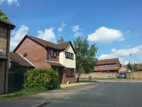
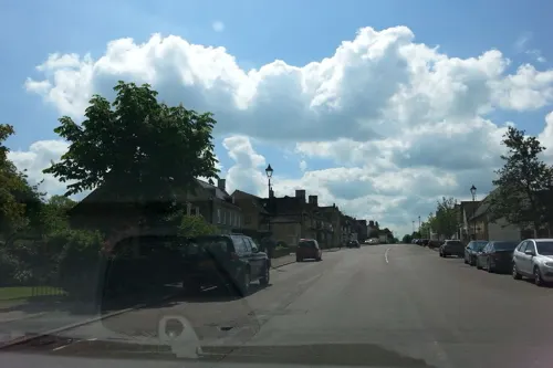
- Street-level photo, adam2, CC BY-SA 4.0
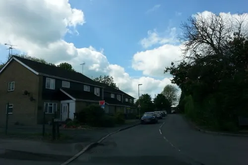
- Street-level photo, adam2, CC BY-SA 4.0
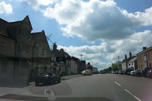
- Street-level photo, adam2, CC BY-SA 4.0
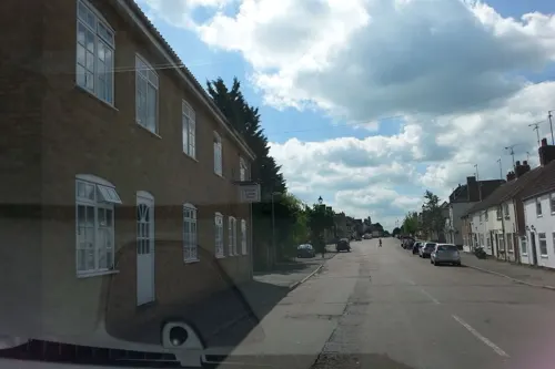
- Street-level photo, adam2, CC BY-SA 4.0
- Street-level photo, adam2, CC BY-SA 4.0
- Street-level photo, adam2, CC BY-SA 4.0
- Street-level photo, adam2, CC BY-SA 4.0
- Street-level photo, adam2, CC BY-SA 4.0
- Street-level photo, adam2, CC BY-SA 4.0
- Street-level photo, adam2, CC BY-SA 4.0
Page built November 10, 2026. Spotted a mistake? Tell us or suggest a place.