


Burntwood, United Kingdom
Burntwood is a town of 29,244 people in England, United Kingdom.
Why visit Burntwood
Townapedia lists 4 museums and landmarks, 10 parks and trails and 26 places to eat in and around town.
Highlights include Letocetum, Prince's Park and George's Hayes.
Weather in Burntwood
Forecast from MET Norway (CC BY 4.0). Full forecast
About Burntwood
Burntwood is a former mining town and civil parish in the Lichfield District of Staffordshire, England. It is approximately 4 miles (6 km) west of Lichfield and north east of Brownhills, with a population of 26,049 and forming part of Lichfield district.
From the Wikipedia article Burntwood (this version), under CC BY-SA 4.0.
Museums and landmarks4


Chasewater Innovation Centre
Monument and historic site · 1.5 mi
Pool Road, Brownhills
Parks, trails and playgrounds10




Restaurants and cafes26
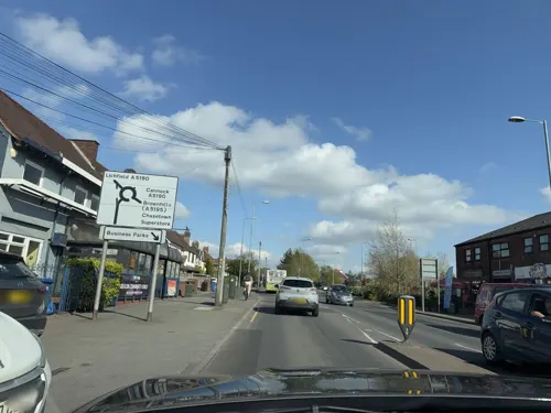
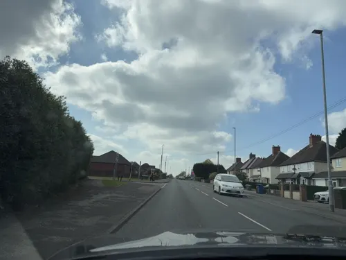
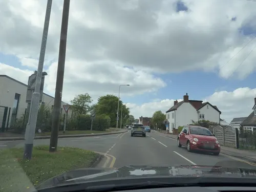

Cortina Italian Restaurant
Restaurant · Italian
Cannock Road, Burntwood
Mo-Th 12:00-22:30; Fr-Sa 12:00-23:30; Su 12:22:30



14 more on the map.
Churches and places of worship11


Our Lady of Lourdes Church, Hednesford
Church · 3.4 mi
Roman Catholic diocesan shrine and parish church in Hednesford, Cannock Chase, Staffordshire, England, UK

Church of St James
Church · 2.6 mi
Church in Norton Canes, Staffordshire, England, UK
St James' Church, Brownhills
Church · 2.3 mi
Church in Brownhills, West Midlands, England, UK

More about Burntwood
Education
Boney Hay Primary Academy (previously Boney Hay Community Primary School)
Chase Terrace Academy (previously Chase Terrace Technology College, before that Chase Terrace High School)
Erasmus Darwin Academy (previously Chasetown Specialist Sports College, before that Chasetown High School)
Both high schools fell victim to arson attacks in 2002. Most of Chase Terrace was destroyed in August 2002. While Chasetown Specialist Sports College lost its gym facility in December 2002. Both buildings have been rebuilt and refurbished.
From the Wikipedia article Burntwood, under CC BY-SA 4.0.
Notable people from Burntwood
 Alan WileyEnglish football refereePhoto: Sdo216, CC BY-SA 3.0
- Stephen SuttonBritish activist (1994–2014)
- Olivia FergussonBritish association football player (born 1995)
- Gary J. TunnicliffeBritish designer
- Jimmy HillBritish television presenter
Born in Burntwood, according to Wikidata (CC0). Each name links to its Wikipedia article.
Shopping6
Gas and EV charging2
Schools, colleges and libraries12
St Joseph & St Theresa Catholic Primary School
School · Roman Catholic · 0.5 mi
High Street, Burntwood
Healthcare3
Map of Burntwood
74 places. The map loads OpenStreetMap tiles when you open it.
Getting there and nearby towns
Birmingham Airport (BHX) is the nearest airport with scheduled flights listed in OpenStreetMap, 17 miles away.
- Great Wyrley 4 mi west, about 6 min by car
- Pelsall 4 mi southwest, about 6 min by car
- Rugeley 5 mi north, about 9 min by car
- Walsall 7 mi south, about 11 min by car
- Streetly 7 mi south, about 11 min by car
- Sutton Coldfield 9 mi southeast, about 15 min by car
- Wednesbury 10 mi southwest, about 16 min by car
- Wolverhampton 11 mi southwest, about 17 min by car
- West Bromwich 12 mi south, about 19 min by car
- Birmingham 14 mi south, about 22 min by car
Drive times are estimates from straight-line distance, not routes.
Towns near Burntwood


Keep exploring
Local news
Headlines from INDB.
Reviews, tips and questions
Loading what members have shared...
Sources and licences
- GeoNames (CC BY 4.0): population, coordinates, regions and time zone
- Mapillary (see each image): photos
- OpenStreetMap contributors (ODbL 1.0): places, airports, map data
- Wikidata (CC0 1.0): elevation, founding date, time zone, website, landmarks and historic places
- Wikimedia Commons (see each image): photos
- Wikipedia (CC BY-SA 4.0): overview and history text
Photo credits
- Gentleshaw Common, Burntwood, England by cattan2011, cattan2011, CC BY 2.0
- Letocetum Title, Bs0u10e01, CC BY 3.0
- Church of Our Lady of Lourdes, Hednesford, JThomas, CC BY-SA 2.0
- St Anne's Church Chasetown, Bs0u10e01, CC BY-SA 3.0
- Bridge Cross House Farm-plaque 01, BrownhillsBoy, CC BY-SA 3.0
- Bridge Cross House Farm-plaque 02, BrownhillsBoy, CC BY-SA 3.0
- Chase Terrace High School-plaque 01, BrownhillsBoy, CC BY-SA 4.0
- Chase Terrace High School-place 01, BrownhillsBoy, CC BY-SA 4.0
- Oakdene Primary School-plaque 01, BrownhillsBoy, CC BY-SA 3.0
- Oakdene Primary School-plaque 02, BrownhillsBoy, CC BY-SA 3.0
- Annie Ker Gettings Memorial Home-plaque 02, BrownhillsBoy, CC BY-SA 3.0
- Annie Ker Gettings Memorial Home-plaque 01, BrownhillsBoy, CC BY-SA 3.0
- Chase Terrace-plaque 01, BrownhillsBoy, CC BY-SA 3.0
- Chase Terrace-plaque 02, BrownhillsBoy, CC BY-SA 3.0
- Chase Cinema-plaque 02, BrownhillsBoy, CC BY-SA 3.0
- Chase Cinema-plaque 01, BrownhillsBoy, CC BY-SA 3.0
- Chase Terrace Fire Station-plaque 01, BrownhillsBoy, CC BY-SA 3.0
- Chase Terrace Fire Station-plaque 02, BrownhillsBoy, CC BY-SA 3.0
- Prince's Park – Plaque 01, BrownhillsBoy, CC BY-SA 4.0
- Chasewater Country Park - Explore - Flickr - cattan2011, cattan2011, CC BY 2.0
- Street-level photo, editid, CC BY-SA 4.0
- Street-level photo, editid, CC BY-SA 4.0
- Street-level photo, editid, CC BY-SA 4.0
- Street-level photo, editid, CC BY-SA 4.0
- Street-level photo, editid, CC BY-SA 4.0
- Street-level photo, editid, CC BY-SA 4.0
- Street-level photo, editid, CC BY-SA 4.0
- Street-level photo, editid, CC BY-SA 4.0
- Street-level photo, editid, CC BY-SA 4.0


Page built November 10, 2026. Spotted a mistake? Tell us or suggest a place.