
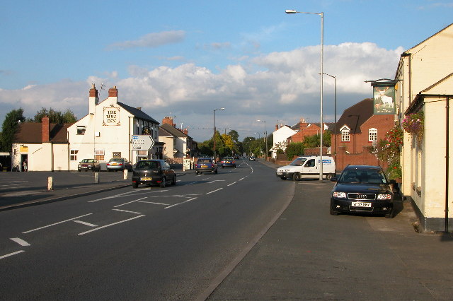


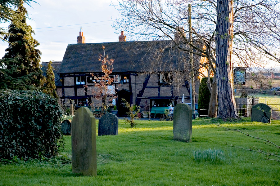


Fernhill Heath, United Kingdom
Fernhill Heath is a town of 3,256 people in England, United Kingdom.
Why visit Fernhill Heath
Townapedia lists 5 museums and landmarks, 8 parks and trails, 24 places to eat and 2 attractions in and around town.
Highlights include Norbury House, Museum of Royal Worcester, The Commandery and Gheluvelt Park.
Weather in Fernhill Heath
Forecast from MET Norway (CC BY 4.0). Full forecast
About Fernhill Heath
Fernhill Heath is a village in Worcestershire, England. It is in the civil parish of North Claines in Wychavon district. Its built-up area population was 3,297 in 2021.
From the Wikipedia article Fernhill Heath (this version), under CC BY-SA 4.0.
Things to do2

Norbury House
Cinema and theater · 3.3 mi
Municipal building in England

Museums and landmarks5

Museum of Royal Worcester
Museum · 3.1 mi
Ceramics museum in Worcester, England

The Commandery
Museum · 3.0 mi
Grade I listed building and museum in Worcester, United Kingdom

Worcester Boer War Memorial
Monument and historic site · 3.0 mi
War memorial in Worcester, England
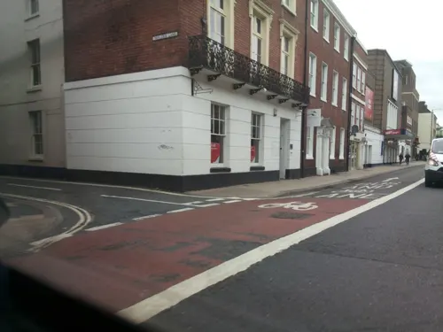
Worcester City Art Gallery and Museum
Museum · 2.6 mi
Art gallery and local museum in Worcester, England, United Kingdom

Parks, trails and playgrounds8

Worcester Woods Country Park
Park · 3.1 mi
Park in Worcester, United Kingdom


Restaurants and cafes24





12 more on the map.
Churches and places of worship11
Church of St Michael and All Angels, Martin Hussingtree
Church · 0.8 mi
Shopping6
Gas and EV charging1
Schools, colleges and libraries13
Healthcare1
Map of Fernhill Heath
71 places. The map loads OpenStreetMap tiles when you open it.
Getting there and nearby towns
Gloucestershire Airport (GLO) is the nearest airport with scheduled flights listed in OpenStreetMap, 24 miles away.
- Worcester 3 mi south, about 5 min by car
- Hallow 3 mi west, about 4 min by car
- Droitwich 3 mi northeast, about 5 min by car
- Lower Broadheath 4 mi west, about 6 min by car
- Wychbold 5 mi northeast, about 9 min by car
- Kempsey 6 mi south, about 10 min by car
- Stoke Prior 7 mi northeast, about 11 min by car
- Hartlebury 7 mi north, about 12 min by car
- Stourport-on-Severn 8 mi northwest, about 13 min by car
- Kington 8 mi east, about 13 min by car
Drive times are estimates from straight-line distance, not routes.
Towns near Fernhill Heath


Keep exploring
Local news
Headlines from INDB.
Reviews, tips and questions
Loading what members have shared...
Sources and licences
- GeoNames (CC BY 4.0): population, coordinates, regions and time zone
- Mapillary (see each image): photos
- OpenStreetMap contributors (ODbL 1.0): places, airports, map data
- Wikidata (CC0 1.0): elevation, founding date, time zone, website, landmarks and historic places
- Wikimedia Commons (see each image): photos
- Wikipedia (CC BY-SA 4.0): overview and history text
Photo credits
- Fernhill Heath, Philip Halling, CC BY-SA 2.0
- William Colton, South African War Memorial Worcester, David James, CC BY-SA 4.0
- The Hive - Worcester (27415265175), Esther Westerveld from Haarlemmermeer, Nederland, CC BY 2.0
- Mug house, Newton2, CC BY 2.5
- St John the Baptist Church at Claines, Angela Jones, CC BY-SA 2.0
- Hindlip - 11, Sally Lloyd, CC BY 2.0
- Collections of the Museum of Royal Worcester (3), Seth Whales, CC BY-SA 4.0
- Cart in "The Commandery" - panoramio, ingawh, CC BY-SA 3.0
- Street-level photo, southglos, CC BY-SA 4.0
- Street-level photo, daniturn3, CC BY-SA 4.0
- Street-level photo, southglos, CC BY-SA 4.0
- Street-level photo, southglos, CC BY-SA 4.0
- Street-level photo, southglos, CC BY-SA 4.0
- Street-level photo, southglos, CC BY-SA 4.0
- Street-level photo, daniturn3, CC BY-SA 4.0
Page built November 10, 2026. Spotted a mistake? Tell us or suggest a place.